Open
Open for the 2026 season. The campground typically opens the Thursday before the May fishing opener (first Saturday in May). Six sites (4, 5, 6, 7, 9, 10) are reservable via Recreation.gov; the remaining four are first-come, first-served.
About
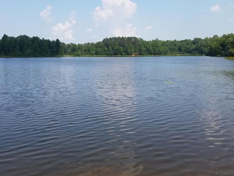
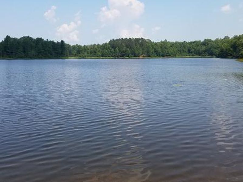
Beaver Lake Campground is a small, secluded retreat located 15 miles west of Mellen, Wisconsin in the Great Divide District of the Chequamegon-Nicolet National Forest. The 10-site campground sits on the shores of its 35-acre namesake lake, surrounded by a forest of maple, birch, and red pine trees. Waterfront sites provide scenic views and direct access to fishing for brown and brook trout, channel catfish, panfish, and largemouth bass.
Each campsite includes a fire ring with grill, picnic table, tent pad, and parking spur. The campground provides two vault toilets and a hand-pump for potable water. Sites vary in type: three are tent-only, while the others accommodate vehicles with back-in spurs of 25 to 30 feet. A boat launch is located approximately half a mile from the campground on Forest Road 198.
A spur trail connects the campground to the North Country National Scenic Trail, offering hiking and snowshoeing opportunities. The area is near popular destinations including Morgan Falls, St. Peter's Dome, and the Penokee Overlook. Mountain biking is available on the nearby CAMBA trail system. ATVs and UTVs are prohibited within the campground. Firewood must originate within a 25-mile radius.
Directions
From Mellen, Wisconsin, take County Highway GG west for about 8 miles. Turn right onto Forest Service Road 187/Mineral Lake Road and follow it about 3 miles to the intersection with Forest Service Road 198/Pine Stump Corner. Continue straight onto Forest Service Road 198 for about 2 miles, then turn right at the campground sign. Address: 61324 Beaver Lake Rd (FR 199).