Woods Canyon Lake Group
Closed — Closed for the season. Opens May 1 and operates through mid-October. Forest Service roads leading to Woods Canyon Lake are closed during winter and reopen after snow recedes, typically in April.
From Recreation.gov
Renting an RV to be delivered to your campsite? Make sure your delivery service has a Forest Service special use permit!
About
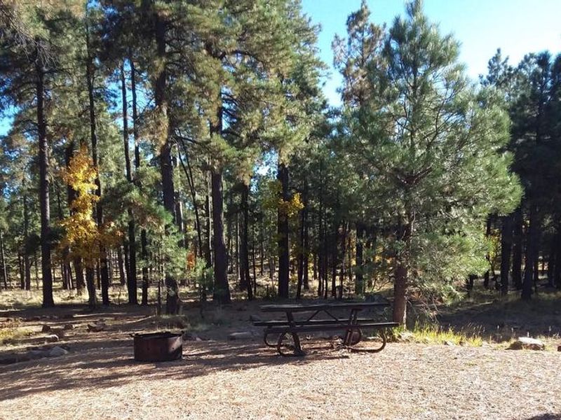
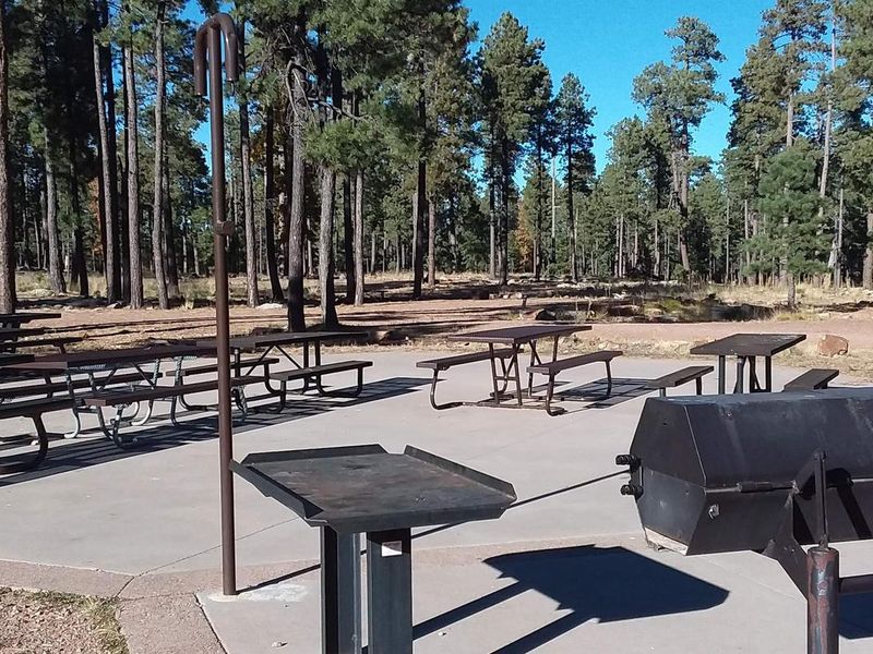
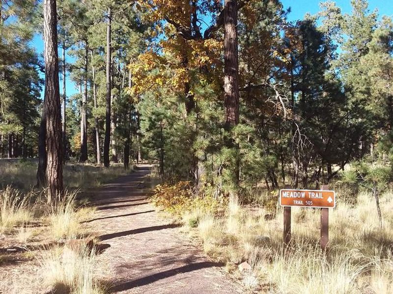
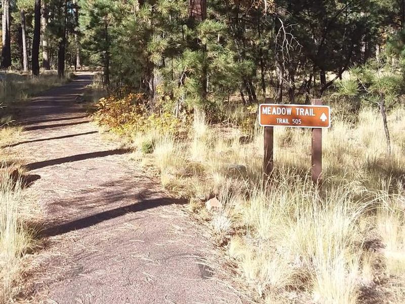
Woods Canyon Lake Group Campground is situated in the heart of Arizona's Apache-Sitgreaves National Forest, just a short walk from the scenic 52-acre Woods Canyon Lake. Located at 7,600 feet elevation near the community of Forest Lakes, this group campground is surrounded by thick stands of ponderosa pine, Douglas fir, oak, and aspen. The site accommodates large groups of up to 120 people and 30 vehicles, making it ideal for organized gatherings, family reunions, and club outings. Woods Canyon Lake is one of seven lakes in the popular Rim Lakes Recreation Area and offers excellent trout fishing and boating opportunities (electric trolling motors only). An easy interpretive nature trail circles the lake, while the nearby Rim Lakes Vista Trail leads to spectacular views of the Mogollon Rim. The paved roads in the recreation area provide excellent biking opportunities. Forest Service rangers offer educational programs on weekends, which groups can schedule in advance. The campground's high elevation provides pleasant summer temperatures, though visitors should be prepared for afternoon thunderstorms from late June through August and cool nighttime temperatures year-round. The surrounding forests host abundant wildlife including deer, elk, squirrels, and various bird species. The Woods Canyon Lake Store and Marina, within walking distance, offers boat rentals, fishing licenses, and camping supplies during the operating season.
Directions
From Payson, take Highway 260 northeast toward Heber. Turn left onto Forest Road 300 (directly across from the Rim Visitor Information Station) and follow for approximately 3 miles. Turn right at Woods Canyon Lake Road (Forest Road 105) and travel 0.75 miles to the campground on the right.
Nearby Campgrounds
Location
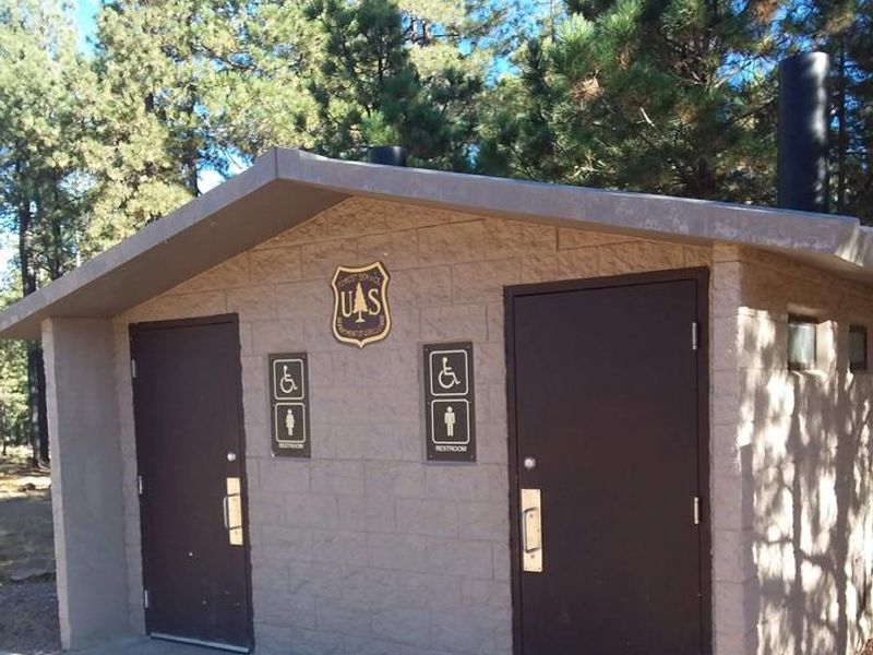
Amenities
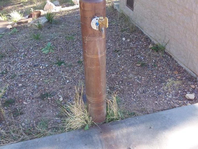
| Water | Yes |
| Fires Allowed | Yes |
| Toilets | Yes |
| Dump Station | — |
| Wifi | No |
| Pets Allowed | Yes |
| Showers | No |
| Electric Hookups | — |
| Water Hookups | — |
| Sewer Hookups | — |
| Camp Store | Yes |
| Price | $275 |
Vehicle
| Max RV Length | 40ft |
| Max Trailer Length | 40ft |
| Big Rig Friendly | No |
| Pull Through Sites | No |
Contact
| Phone | +1 (928) 535-0181 |
Cell Service
| AT&T | None |
| Verizon | Yes |
| T-Mobile | None |
Availability
Photos
Community Posts
No posts yet. Be the first to share your experience!