Poverty Flat
Open for the season. Potable water is not yet functioning as of early May 2026; campers should bring their own water supply. All sites are first-come, first-served with $10/night fee. Check-in at 2:00 PM, check-out at 11:00 AM.
Weed Free Hay Order 04-2021-03
Prohibited by this order: Possessing, storing, or transporting non-pelletized hay, straw, or mulch in the Intermountain Region, unless it is certified as weed free by the state where the product originated.
Fireworks and Spark Arrestor Order 04-2021-01
Prohibited by this order: Possessing, discharging, or using any kind of firework or other pyrotechnic device. 36 CFR §261.52(t)Operating or using any internal or external combustion engine without a spark arresting device properly installed, maintained and in effective working order as described…
Explosives and Exploding Target Order 04-2021-02
This order prohibits the use of explosives and exploding targets on National Forest System lands within the Intermountain Region.
About
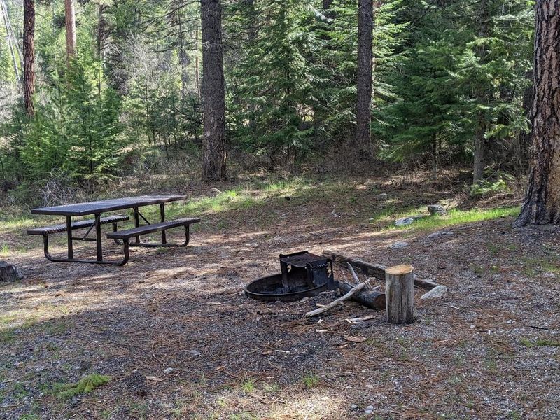
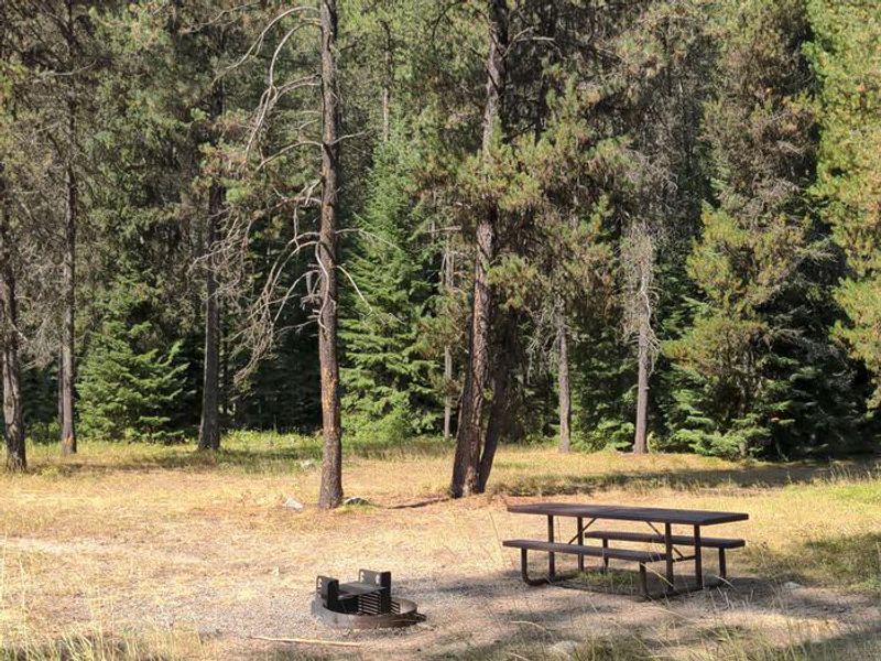
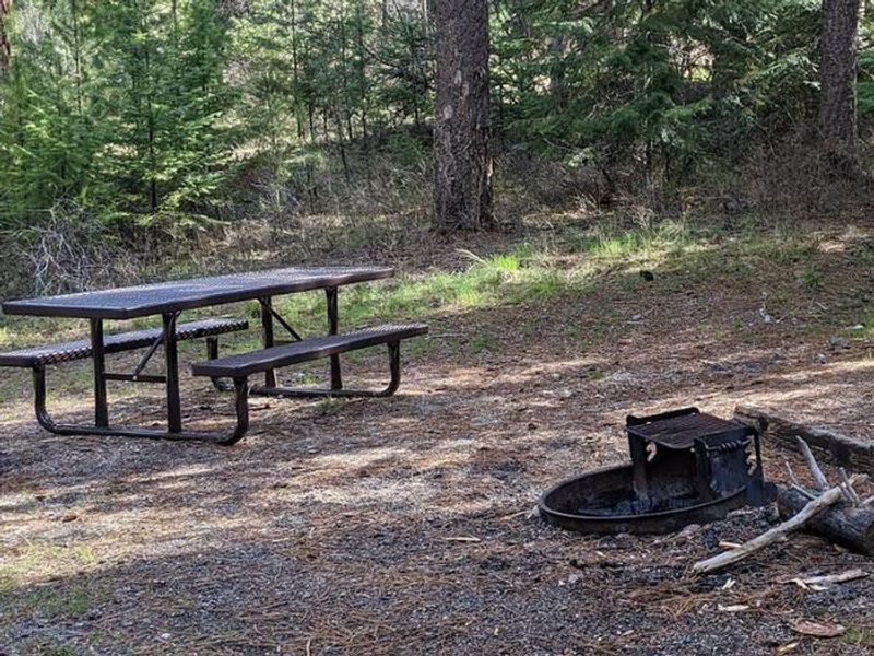
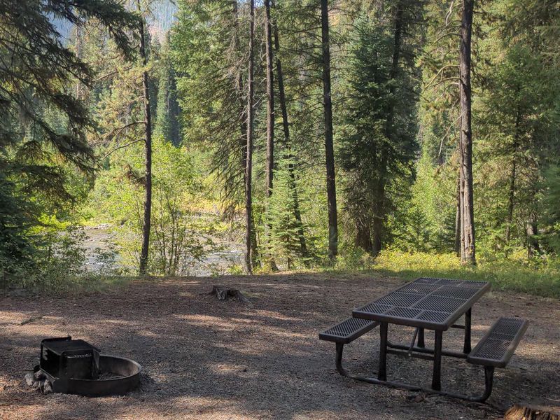
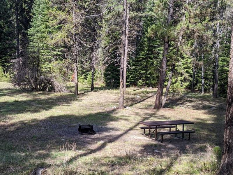
Poverty Flat Campground sits alongside the South Fork Salmon River in the Krassel Ranger District of Payette National Forest. This paved campground offers 10 sites, including 4 walk-in tent sites and 6 standard sites, all available on a first-come, first-served basis. Each site features a fire ring and hitching posts, making it popular with equestrian campers. The campground serves dual purposes as a takeout point for those floating the South Fork from Goat Creek and as a trailhead for an extensive network of loop trails. Blackmare Creek Trail (#100) begins directly in the campground. The trail system accommodates hikers, horseback riders, mountain bikers, and trail bikes. Fishing in the river is available. Access requires navigating Forest Road 674, a paved but narrow one-lane road with two-way traffic and blind corners. The South Fork corridor is typically one of the earlier areas to become snow-free in spring. Campers should be prepared to pack out all trash as no trash service is provided.
Directions
From McCall, travel 30 miles northeast on Forest Road 48 (Lick Creek Road), then 13 miles south on FR 674 (South Fork Road). From Cascade, the South Fork corridor is approximately 30 miles via Warm Lake Highway. The South Fork Road is a paved, narrow, one-lane road with two-way traffic and many blind corners.
Amenities
| Water | Yes |
| Fires Allowed | Yes |
| Toilets | Yes |
| Dump Station | No |
| Wifi | No |
| Pets Allowed | Yes |
| Showers | No |
| Electric Hookups | — |
| Water Hookups | — |
| Sewer Hookups | — |
| Camp Store | No |
| Price | $10 |
Vehicle
| Max RV Length | — |
| Max Trailer Length | — |
| Big Rig Friendly | No |
| Pull Through Sites | No |
Contact
| Phone | +1 (208) 634-0600 |
Cell Service
| AT&T | None |
| Verizon | None |
| T-Mobile | None |
Availability
Photos
Community Posts
No posts yet. Be the first to share your experience!