Williams River Rua Sites D2
Open seasonally from mid-March through end of November. Vault toilets are closed during winter months. First-come, first-served with a 14-day maximum stay limit.
Wind Advisory issued October 10 at 9:48PM EDT until October 11 at 11:00AM EDT by NWS Charleston WV
* WHAT...Southeast winds 20 to 30 mph with gusts up to 50 mph. * WHERE...Portions of southwest Virginia and northeast, southeast, and southern West Virginia. * WHEN...Until 11 AM EDT Sunday. * IMPACTS...Gusty winds will blow around unsecured objects. Tree limbs could be blown down and a few power outages may result. * ADDITIONAL DETAILS...A strong east to southeasterly wind field aloft associated with the remnants of Isaias will move over the region into Sunday. Interaction with the higher terrain will help to transport these higher wind speeds to the surface in a sporadic fashion. The strongest winds will be observed along ridgelines and areas favored for enhanced downslope flow.
Interagency Passes
Interagency Passes are available for purchase at our Welcome Center Monday through Saturday between the hours of 8:00am and 4:30pm. We recommend calling our front desk at 815-423-6370 prior to your arrival to make sure a qualified staff member is present to distribute passes.Our Welcome Center…
Henslow Trail Bridge Closures
Henslow Trail is rerouted onto Baseline Rd., Schoolhouse Rd., and South Patrol Rd. due to bridge closures. There is currently no timetable for the repairs to be completed. Please follow all signage and stay away from the bridges. Contact the Midewin NTP Visitor Center at 815-423-6370 with any…
About
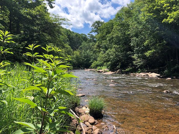
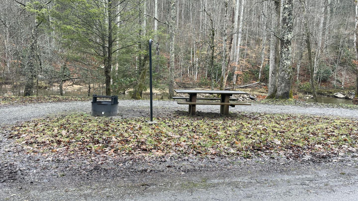
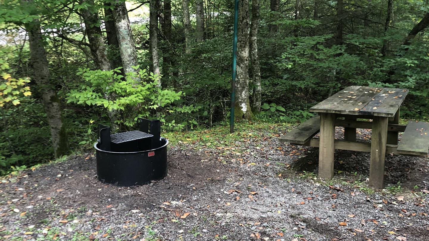
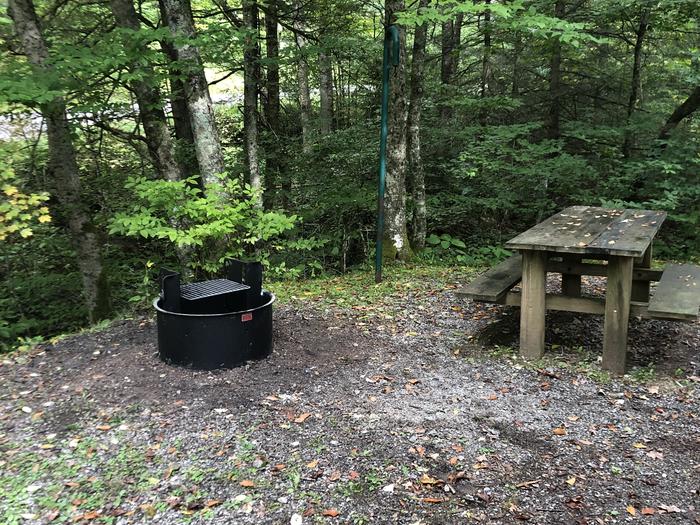
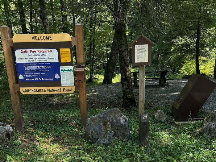
Williams River Site D2 is part of a string of 30 primitive campsites distributed along Williams River Road in the Monongahela National Forest. The sites sit close to the river and are highly popular with anglers. Each campsite includes a parking spur, picnic table, fire ring with grill, lantern post, and waste receptacle. Some sites also have tent pads. Vault toilets are spaced along the river corridor. The campground provides easy access to the Tea Creek area and Cranberry Wilderness, offering over 100 miles of hiking and backpacking trails. Site D2 specifically features a 75-foot gravel driveway with back-in access and can accommodate up to 8 people and 2 vehicles. There is no potable water available, so campers must bring their own supply. Bear activity in the area requires proper food storage in approved containers or locked vehicles. These are the only places camping is permitted along Williams River, aside from the nearby Tea Creek and Day Run Campgrounds. The area is administered jointly by the Gauley and Marlinton Ranger Districts.
Directions
From Cowen, West Virginia, follow State Route 46 to the start of Williams River Road (Forest Road 86). The first campsites begin about 10 miles upstream from Cowen. Sites continue along the river up to the Highland Scenic Highway bridge (State Route 150) and beyond, where Williams River Road becomes Forest Road 216.
Nearby Campgrounds
Amenities
| Water | No |
| Fires Allowed | Yes |
| Toilets | Yes |
| Dump Station | — |
| Wifi | No |
| Pets Allowed | Yes |
| Showers | No |
| Electric Hookups | — |
| Water Hookups | — |
| Sewer Hookups | — |
| Camp Store | No |
| Price | $5 |
Vehicle
| Max RV Length | — |
| Max Trailer Length | — |
| Big Rig Friendly | No |
| Pull Through Sites | — |
Contact
| Phone | +1 (304) 846-2695 |
Cell Service
| AT&T | None |
| Verizon | None |
| T-Mobile | None |
Photos
Community Posts
No posts yet. Be the first to share your experience!