White Rock Hiker-biker Campsite
Open year-round, first-come first-served with no fee or reservation required. Overnight stays limited to one night. Non-potable well water is available mid-April through mid-November; water handles are removed in winter for freeze protection.
About
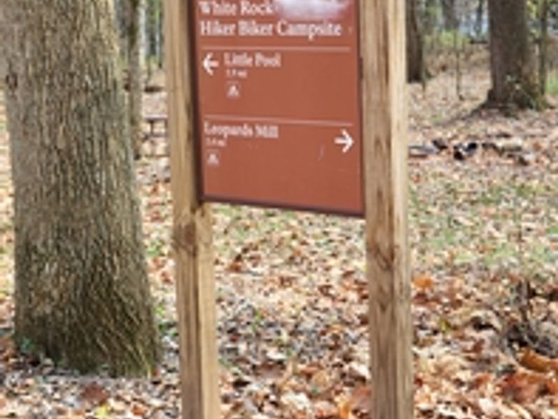
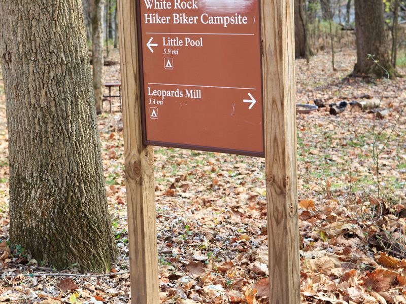
White Rock Hiker-Biker Campsite is one of the many primitive campsites spaced every 5-7 miles along the 184.5-mile C&O Canal towpath. Located at Mile 126.4 in Washington County, Maryland near Hancock, this campsite serves hikers and bikers traveling the historic canal corridor. The site is situated 1-5 miles from the nearest parking area and is not accessible by vehicle. The campsite includes a chemical toilet, picnic table, and fire ring/grill. Non-potable well water is available from mid-April through mid-November, though campers should plan to filter, chemically treat, or boil the water before drinking or cooking. Water handles are removed after mid-November for freeze protection. As a primitive hiker-biker site, camping is free and first-come first-served with no reservations accepted. Stays are limited to one night per site per trip, and quiet hours are enforced from 10 PM to 6 AM. This is a pack-it-out park with no trash service. Pets are welcome but must remain leashed. The campsite is located near the Potomac River and may be subject to flooding after heavy rains.
Directions
Located at mile 126.4 on the C&O Canal towpath near Hancock, Maryland. From Hancock, follow MD 144 west and turn left at Locher Road. Access is by foot, bicycle, or horseback only from the towpath.
Nearby Campgrounds
Amenities
| Water | No |
| Fires Allowed | Yes |
| Toilets | Yes |
| Dump Station | No |
| Wifi | No |
| Pets Allowed | Yes |
| Showers | No |
| Electric Hookups | — |
| Water Hookups | — |
| Sewer Hookups | — |
| Camp Store | No |
| Price | $0 |
Vehicle
| Max RV Length | — |
| Max Trailer Length | — |
| Big Rig Friendly | No |
| Pull Through Sites | No |
Contact
| CHOH_information@nps.gov | |
| Phone | +1 (301) 739-4200 |
Cell Service
| AT&T | Yes |
| Verizon | Yes |
| T-Mobile | None |
Photos
Community Posts
No posts yet. Be the first to share your experience!