Wallace Creek
Open year-round. Reservations available through Recreation.gov.
Heat Advisory issued July 21 at 11:37AM CDT until July 21 at 9:00PM CDT by NWS Memphis TN
* WHAT...Heat index values up to 110. * WHERE...Portions of North Mississippi and West Tennessee. * WHEN...Until 9 PM CDT this evening. * IMPACTS...Hot temperatures and high humidity may cause heat illnesses.
About
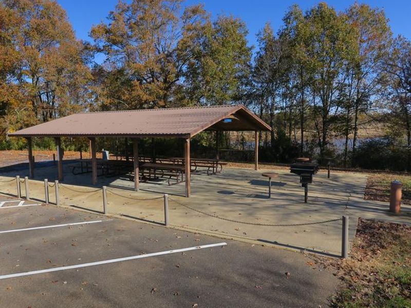
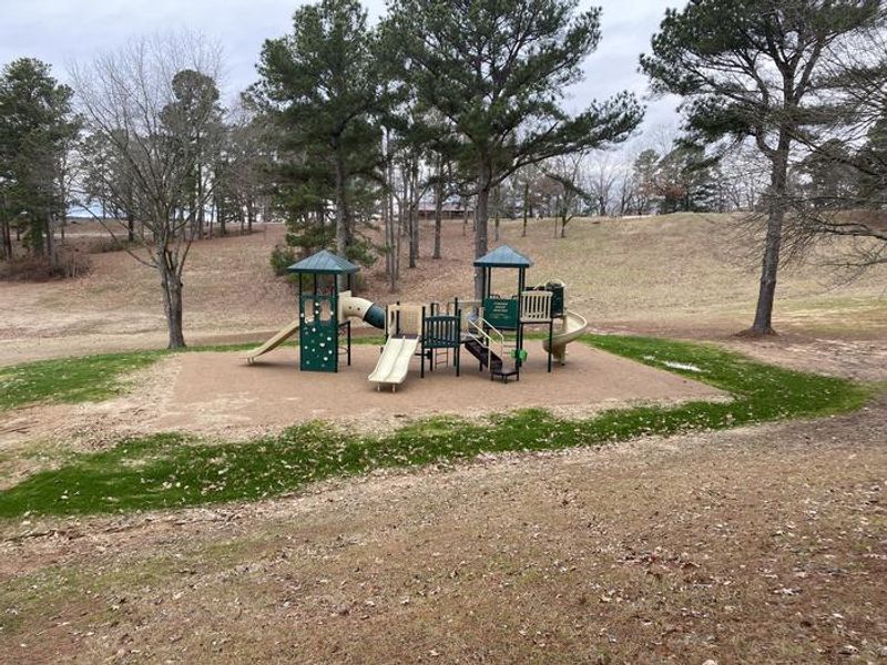
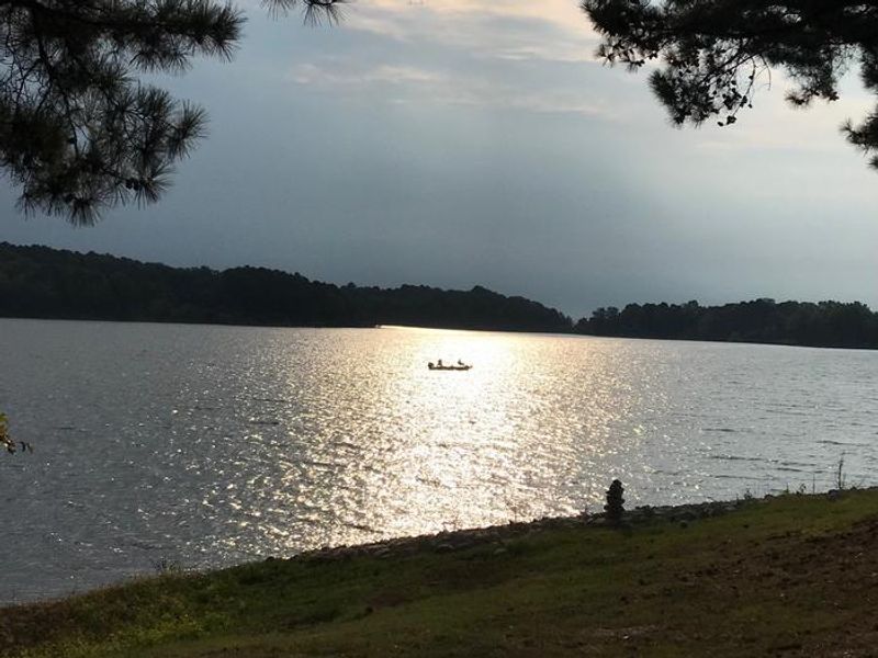
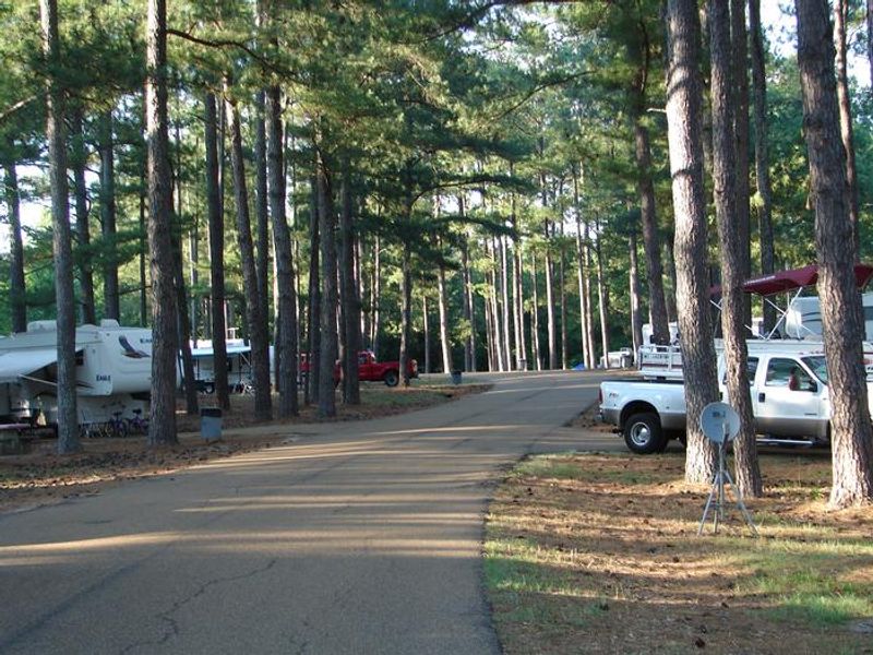
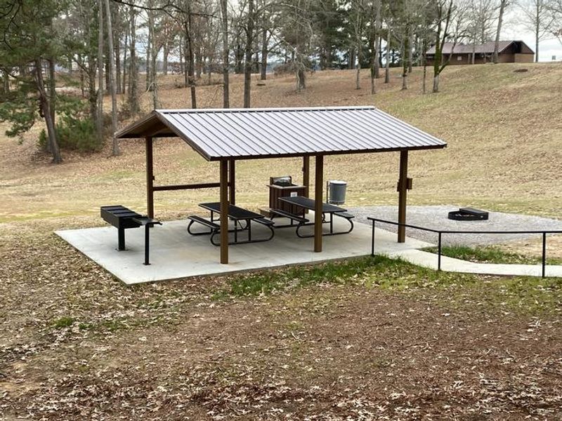
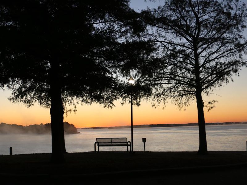
Wallace Creek is a quiet, family-oriented campground situated along the banks of Enid Lake in the forests of northern Mississippi. Managed by the US Army Corps of Engineers, it is the largest campground at Enid Lake with 101 campsites featuring full hookups. Modern amenities include flush toilets, showers, and a dump station. Each site has a picnic table and fire pit. A playground and interpretive trail provide additional recreation. Enid Lake is part of a dam project on the Yocona River that creates almost 16,000 acres of water, with an additional 44,000 acres of surrounding forest. The lake has been recognized as one of America's Top 10 Fishing Spots, with white crappie, bass, and catfish in abundance. It holds the world record for white crappie at 5 pounds, 3 ounces. Hiking trails wind along the lakeshore, offering hiking, biking, and horseback riding opportunities. Boat ramps are provided at the campground.
Directions
From I-55, take exit 233 and head east on County Road 36. After about 2.5 miles, follow the signs to the campground.
Location
Amenities
| Water | Yes |
| Fires Allowed | Yes |
| Toilets | Yes |
| Dump Station | Yes |
| Wifi | — |
| Pets Allowed | Yes |
| Showers | Yes |
| Electric Hookups | Yes |
| Water Hookups | Yes |
| Sewer Hookups | Yes |
| Camp Store | — |
| Price | $30 |
Vehicle
| Max RV Length | 141ft |
| Max Trailer Length | 141ft |
| Big Rig Friendly | — |
| Pull Through Sites | No |
Contact
| Phone | +1 (662) 563-4571 |
Cell Service
| AT&T | Yes |
| Verizon | Yes |
| T-Mobile | Yes |
Availability
Photos
Community Posts
No posts yet. Be the first to share your experience!