Twelvemile Beach Campground And Cabin
Closed for the season. Opens May 15, 2026 and operates through October 15. All sites require advance reservations via Recreation.gov up to 6 months in advance. After October 15, water systems and toilets shut down.
About
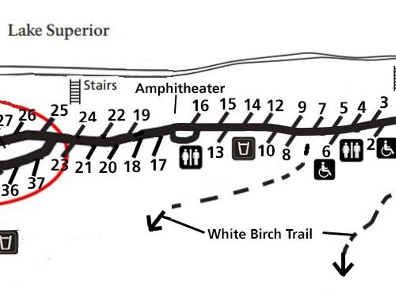
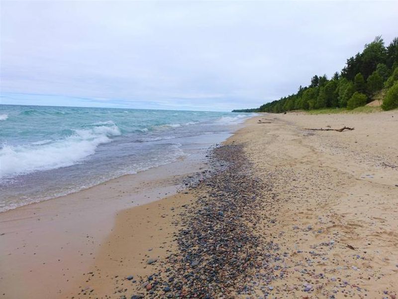
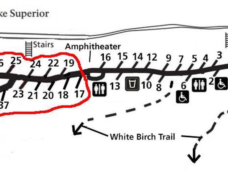
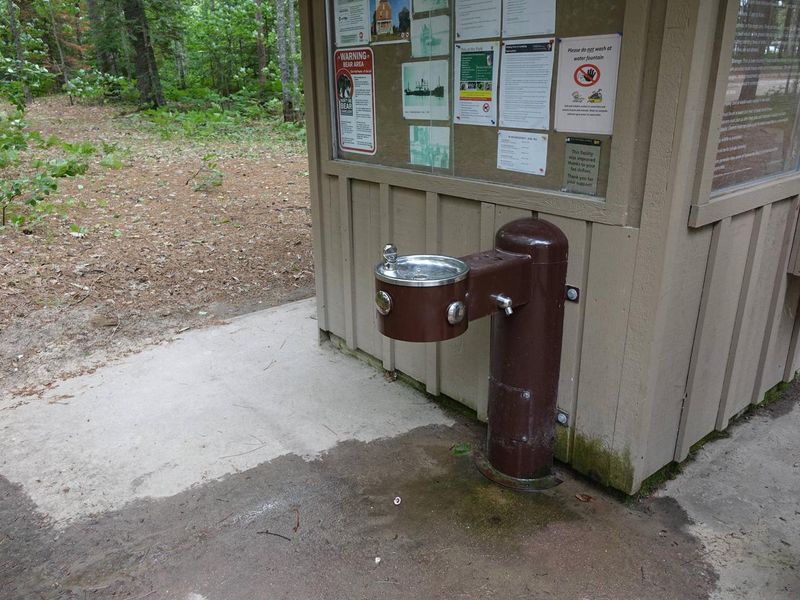
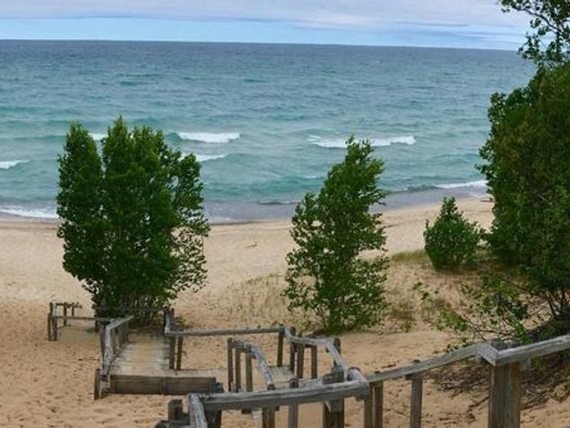
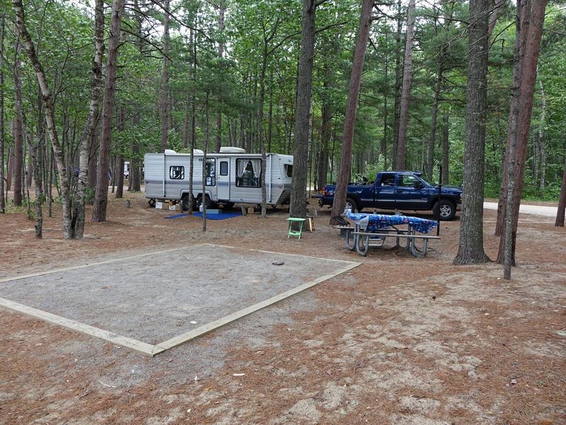
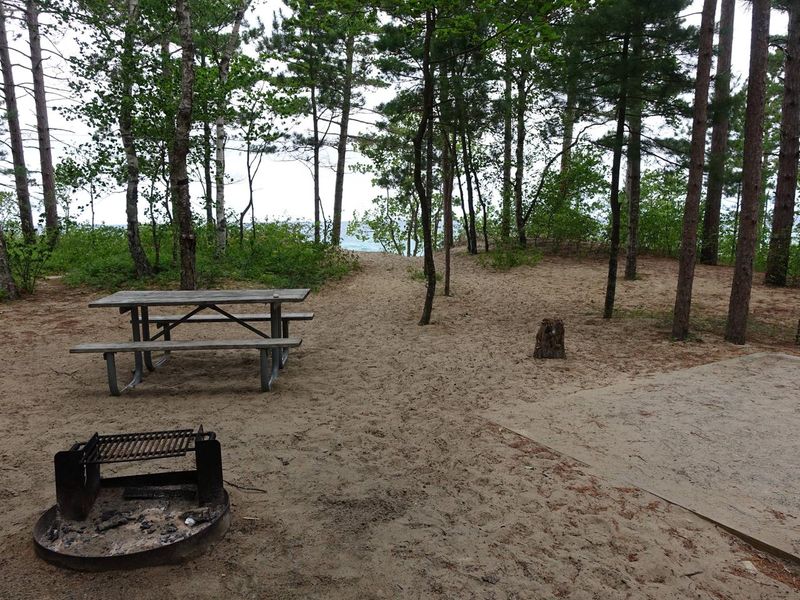
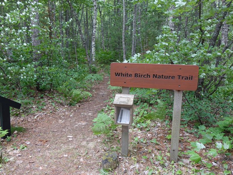
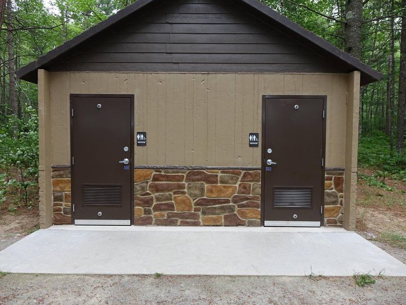
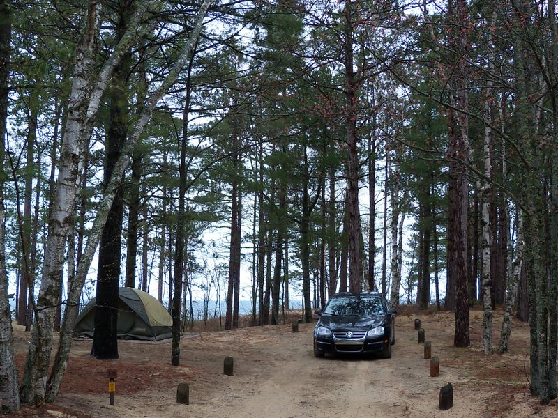
Twelvemile Beach Campground occupies a scenic sandy plateau above Lake Superior within Pictured Rocks National Lakeshore, offering campers direct access to one of the park's most pristine 12-mile stretches of sand beach. Located 15 miles west of Grand Marais off Alger County Road H-58, the campground features 36 sites including a rental cabin, with each site equipped with a picnic table, fire ring with grill grate, and tent pad. The campground provides vault toilets and seasonal well water but has no hookups, showers, or dump station. Cell phone reception is typically unavailable. The entrance road winds through a picturesque stand of white birch, and the two-mile self-guided White Birch Nature Trail begins and ends at the campground. The North Country National Scenic Trail also passes through. Due to limited turning radius and parking lengths, single vehicles should not exceed 36 feet and vehicle/trailer combinations should stay under 42 feet. Generator use is prohibited in the west loop (sites 17-37). Two wheelchair-accessible sites feature packed gravel or wooden boardwalks, accessible picnic tables, and raised fire rings. Quiet hours are 8 PM to 8 AM.
Directions
Located 15 miles west of Grand Marais off Alger County Road H-58 (34 miles east of Munising). The entrance road winds through a stand of white birch.
Nearby Campgrounds
Amenities
| Water | Yes |
| Fires Allowed | Yes |
| Toilets | Yes |
| Dump Station | — |
| Wifi | No |
| Pets Allowed | Yes |
| Showers | No |
| Electric Hookups | — |
| Water Hookups | — |
| Sewer Hookups | — |
| Camp Store | — |
| Price | $25 - $35 |
Vehicle
| Max RV Length | 36ft |
| Max Trailer Length | 36ft |
| Big Rig Friendly | No |
| Pull Through Sites | No |
Contact
| piro_information@nps.gov | |
| Phone | +1 (906) 387-3700 |
Cell Service
| AT&T | None |
| Verizon | None |
| T-Mobile | None |
Availability
Photos


Community Posts
No posts yet. Be the first to share your experience!