Hurricane River Campground
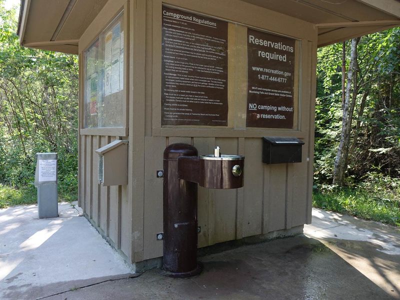
Closed for the season. The campground opens May 15, 2026 and operates through October 15. All sites require advance reservations via Recreation.gov; there is no drop-in camping.
About
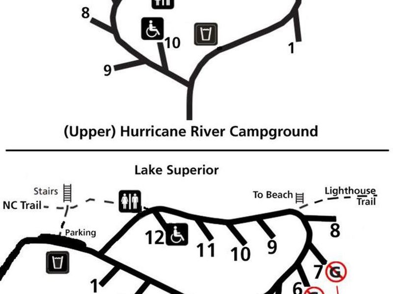
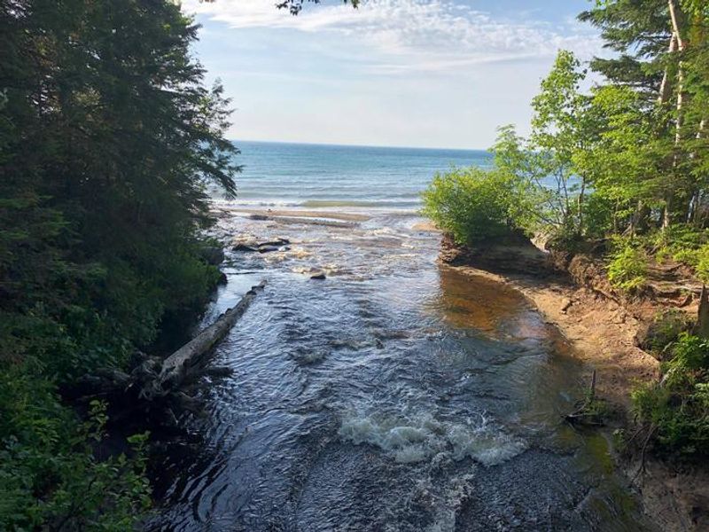
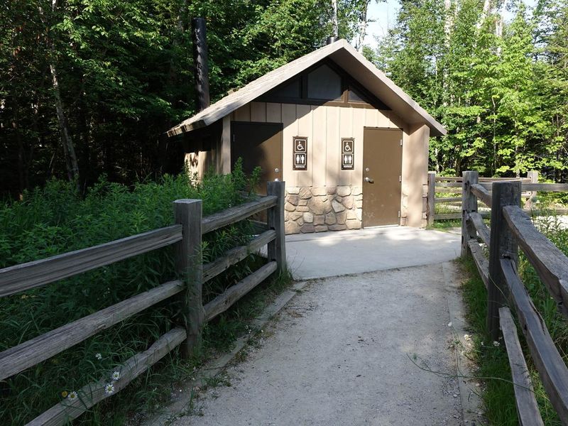
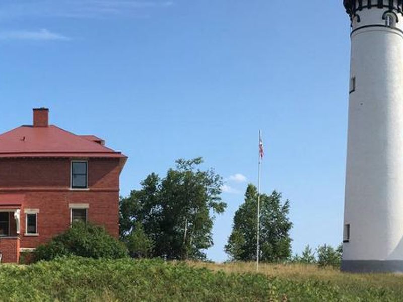
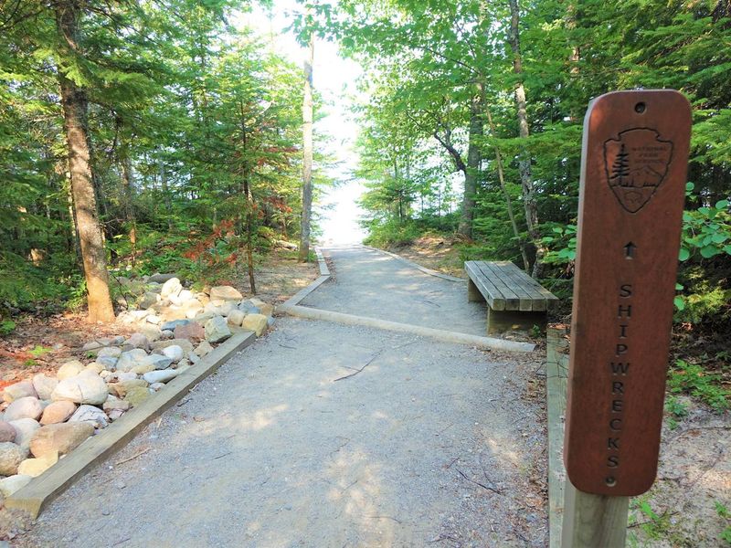
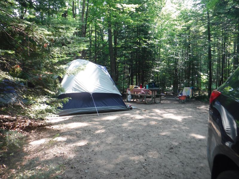
Hurricane River Campground is located along County Road H-58, approximately 12 miles west of Grand Marais in Michigan's Upper Peninsula. The campground is divided into two distinct sections: Hurricane River Upper with 10 sites tucked into deciduous forest, and Hurricane River Lower with 11 sites near the river mouth. Each loop includes one wheelchair-accessible campsite, and sites 4-7 are designated generator-free zones. The lower campground serves as the trailhead for the Au Sable Light Station, a 3-mile round-trip hike along Lake Superior offering views of Jacobsville sandstone formations and historic shipwreck remains. The campground provides vault toilets, seasonal well water, fire rings with grill grates, and picnic tables at each site. There are no electric, water, or sewer hookups. Due to limited turning radius and parking space lengths, single vehicles should not exceed 36 feet and vehicle/trailer combinations should not exceed 42 feet. Quiet hours run 8 PM to 8 AM (including generators), checkout is 11 AM, and camping is limited to 14 days per calendar year within the park. All food and scented items must be stored in hard-sided vehicles due to bear activity.
Directions
From Grand Marais, drive 12 miles west on County Road H-58. The campground entrance is off H-58 with separate access roads for the upper and lower loops.
Nearby Campgrounds
Amenities
| Water | Yes |
| Fires Allowed | Yes |
| Toilets | Yes |
| Dump Station | No |
| Wifi | No |
| Pets Allowed | Yes |
| Showers | No |
| Electric Hookups | — |
| Water Hookups | — |
| Sewer Hookups | — |
| Camp Store | No |
| Price | $25 |
Vehicle
| Max RV Length | 42ft |
| Max Trailer Length | 42ft |
| Big Rig Friendly | No |
| Pull Through Sites | No |
Contact
| piro_information@nps.gov | |
| Phone | +1 (906) 387-3700 |
Cell Service
| AT&T | Yes |
| Verizon | None |
| T-Mobile | None |
Availability
Photos


Community Posts
No posts yet. Be the first to share your experience!