Pictured Rocks National Lakeshore Backcountry Camping Permit
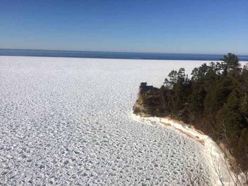
Backcountry camping is open year-round with permits required for all overnight stays. Reservations open on a 6-month rolling window through Recreation.gov. Permits must be printed before your trip and secured visibly to your tent. Current spring conditions are favorable with winter ski trail grooming concluded.
About
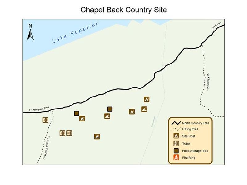
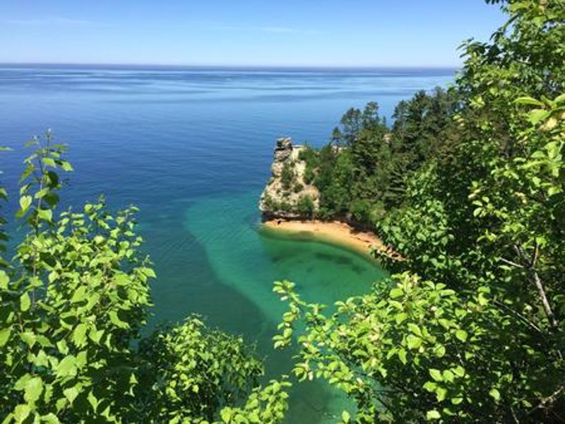
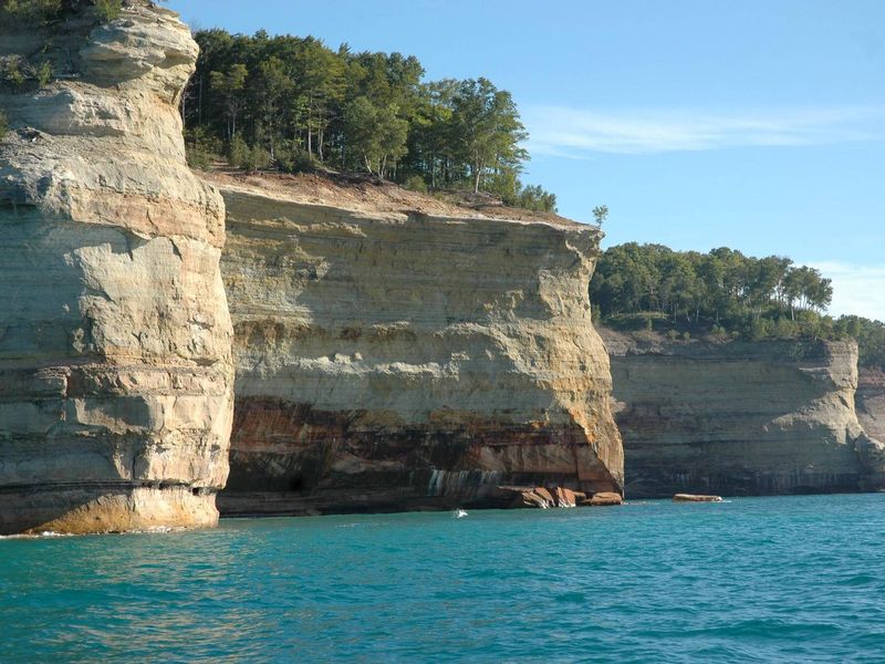
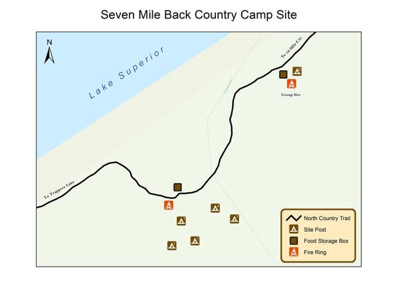
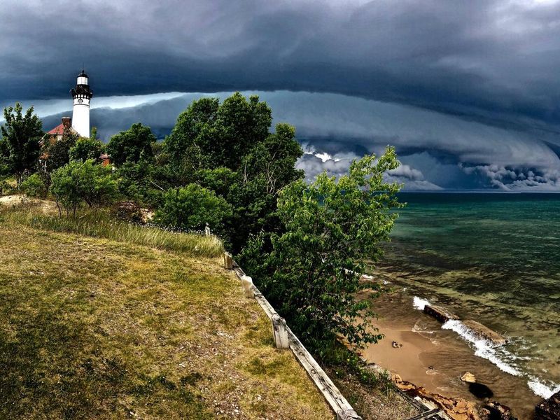
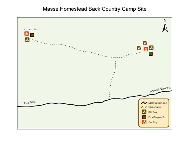
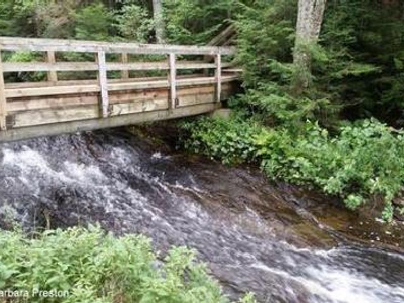
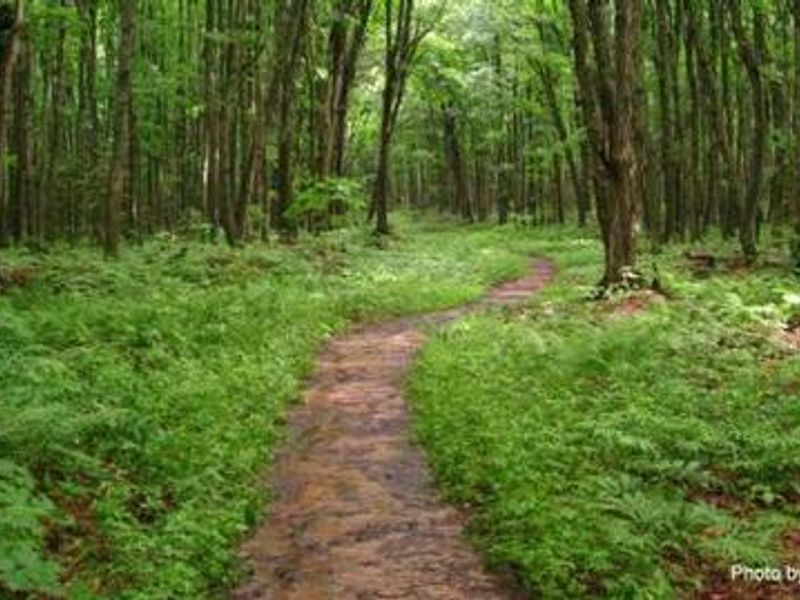
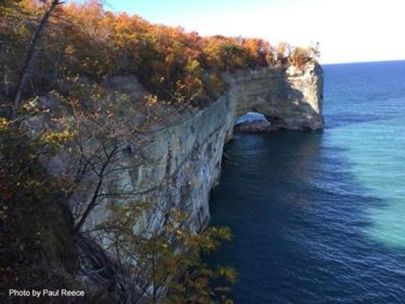
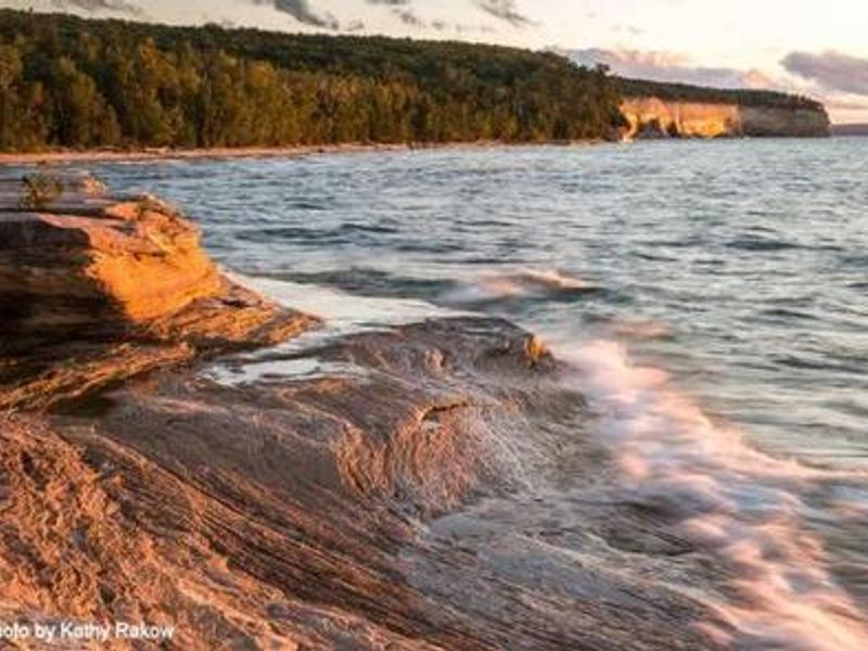
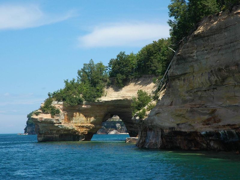
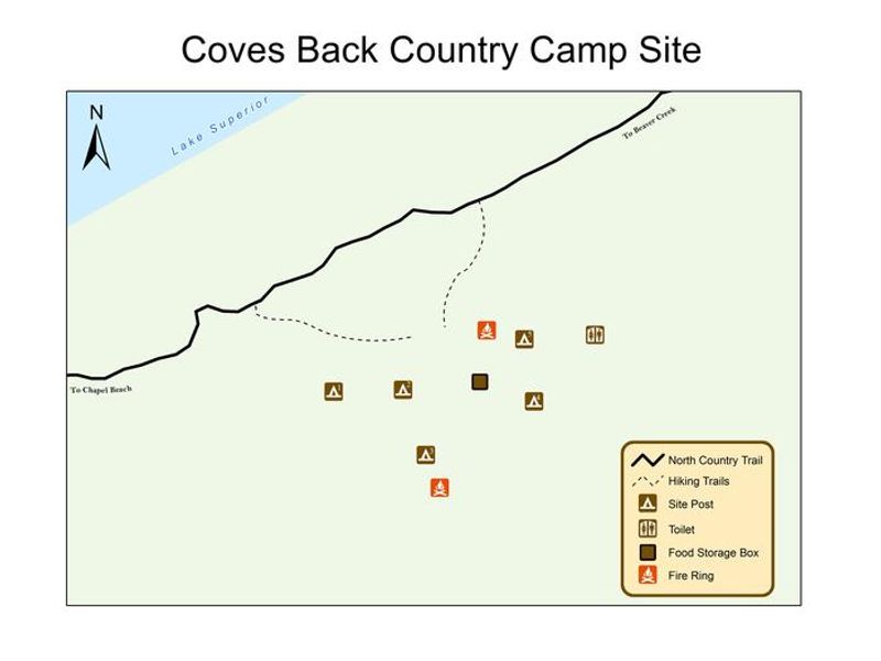
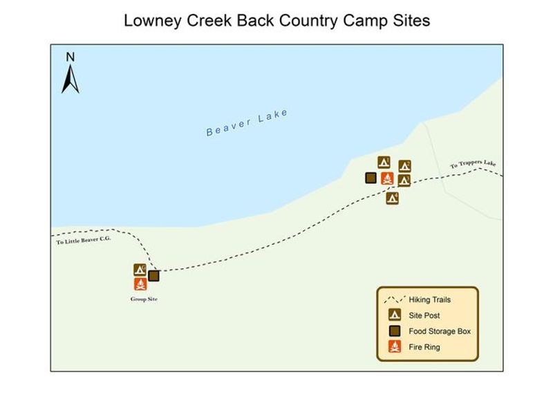
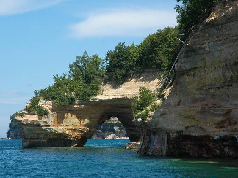
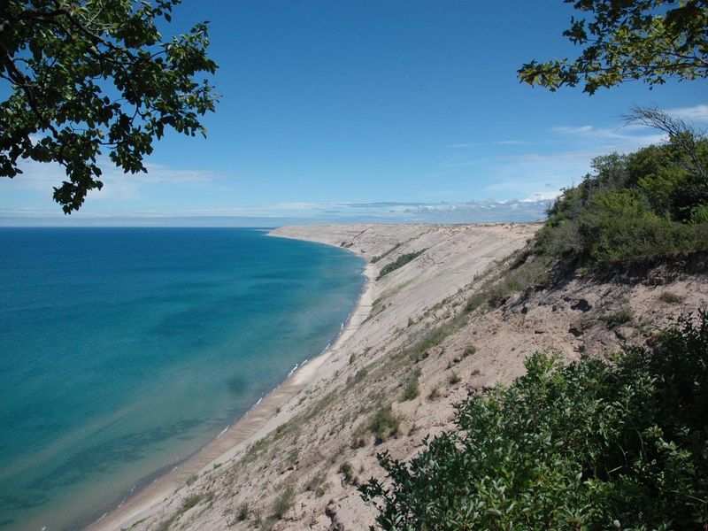
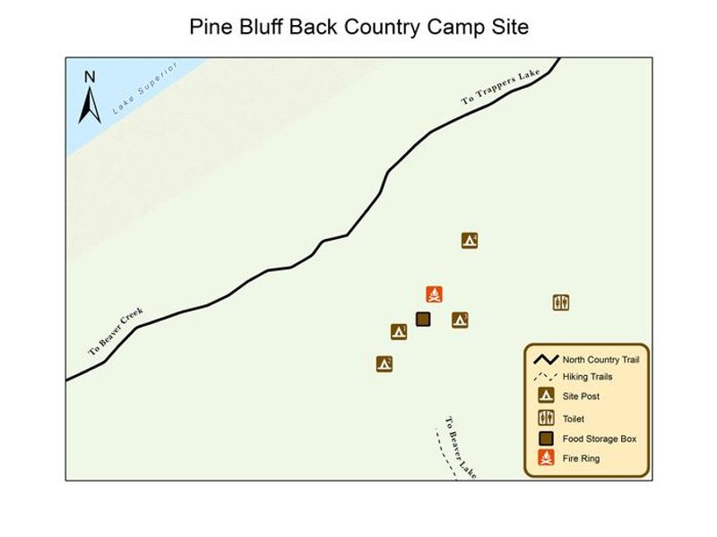
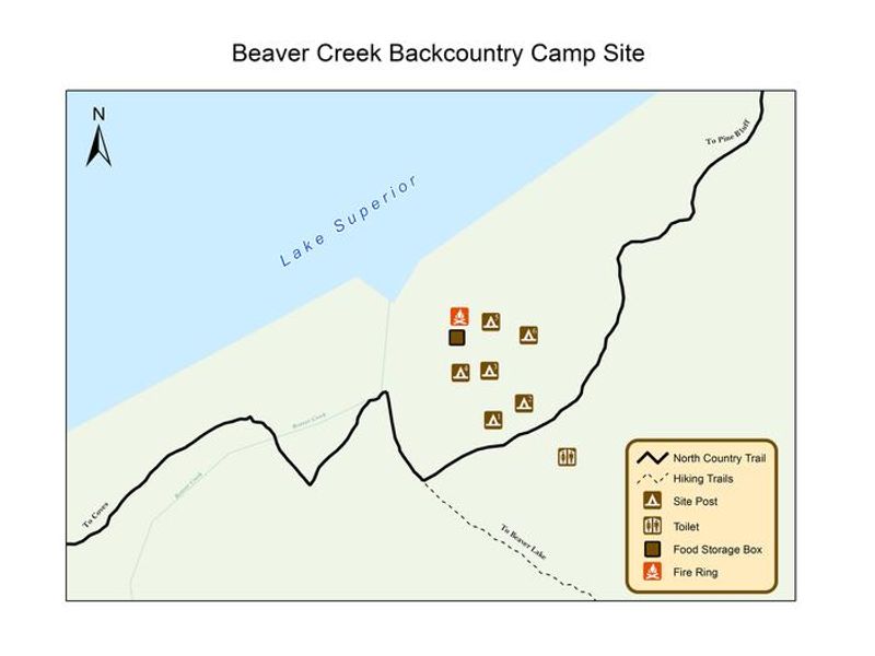
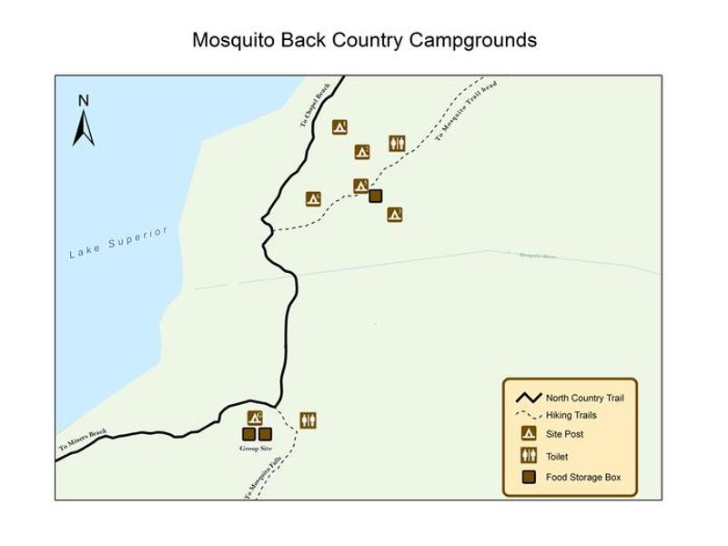
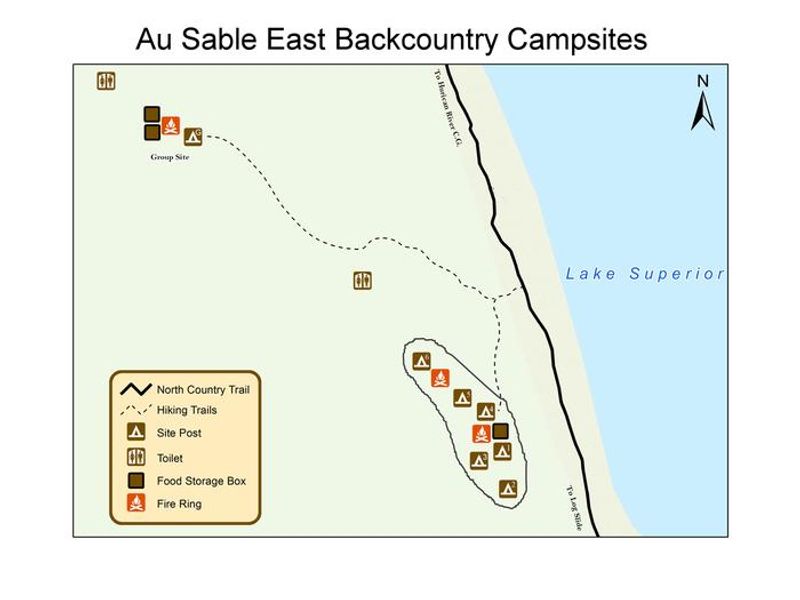
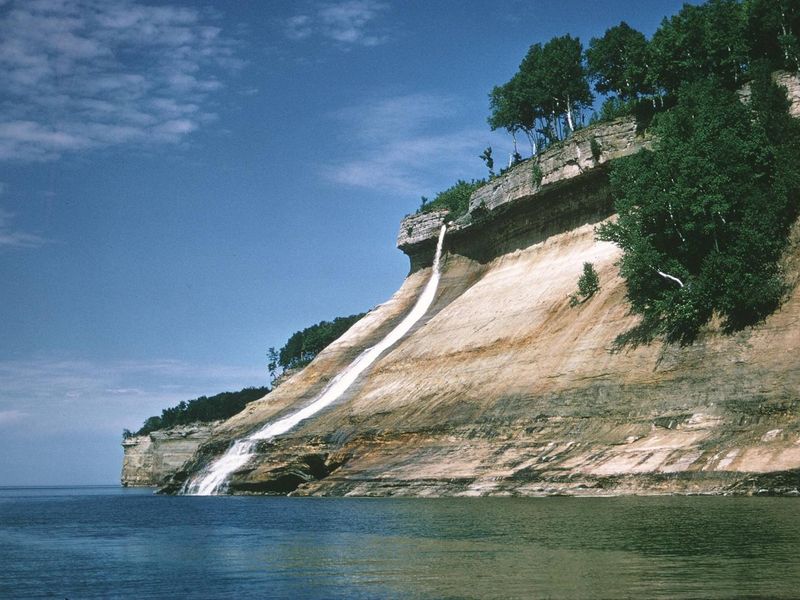
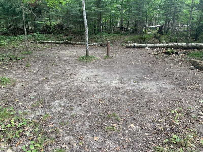
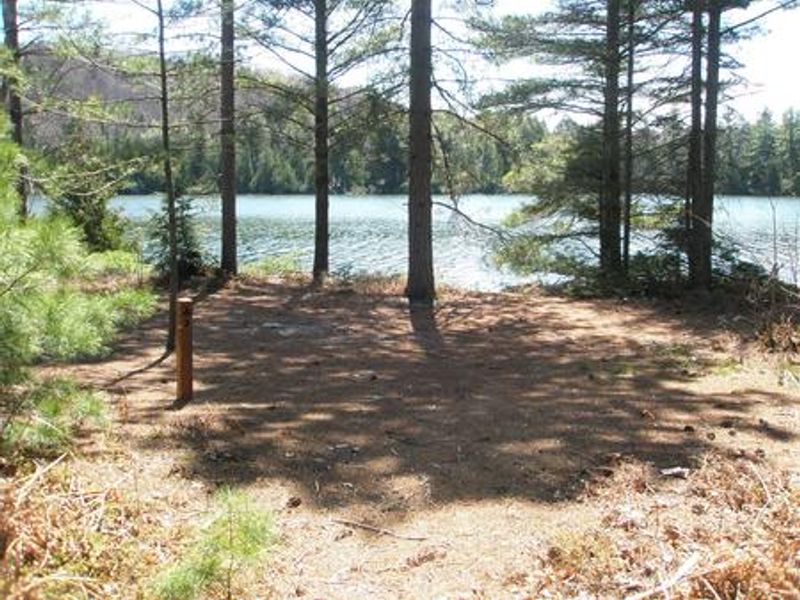
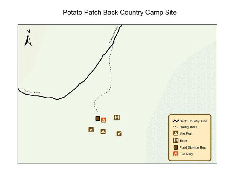
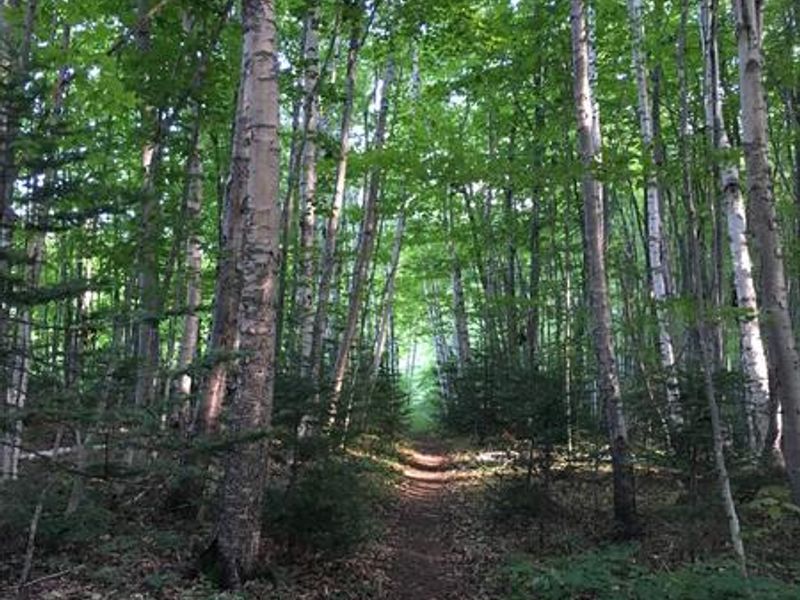
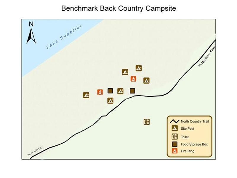
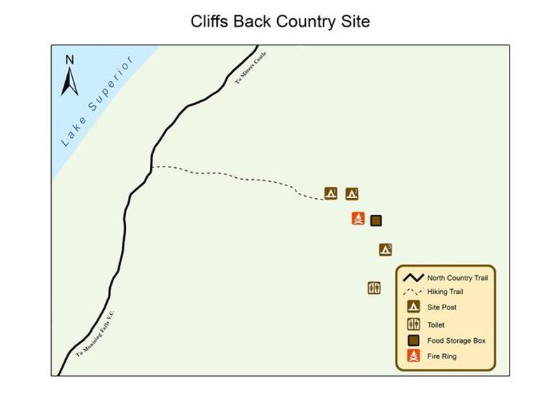
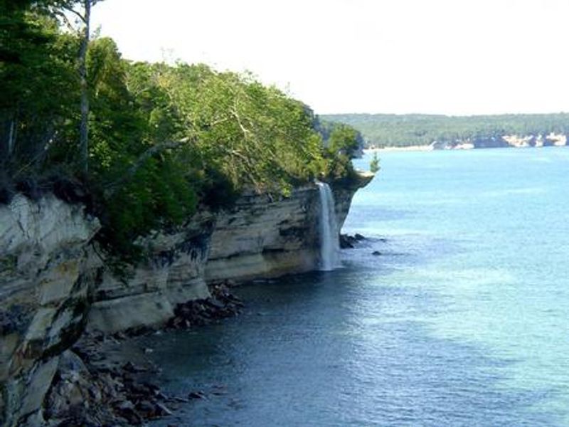
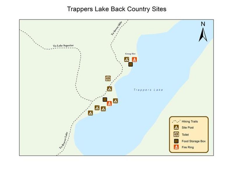
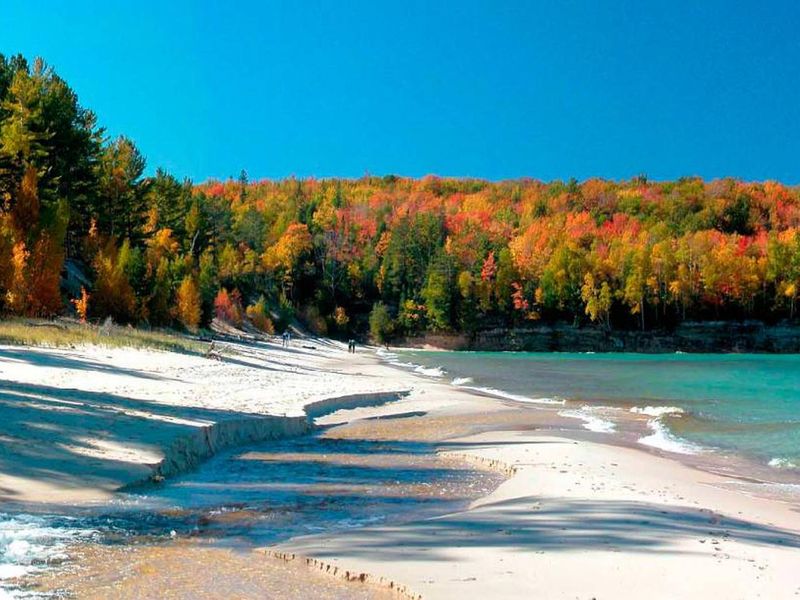
Pictured Rocks National Lakeshore hugs Michigan's Upper Peninsula shoreline for over 40 miles, where Lake Superior has carved dramatic multicolored sandstone cliffs rising 50-200 feet from the water. The backcountry system includes 14 designated campgrounds with approximately 72 sites positioned at 2-5 mile intervals along the Lakeshore Trail, which forms part of the North Country National Scenic Trail. Hikers and paddlers encounter forests, sand dunes, beaches, waterfalls, and panoramic cliff-top views. This is entirely primitive camping. Each backcountry campground has bear-proof food storage lockers and community fire rings (fires prohibited at Mosquito River and Chapel Beach campgrounds). No potable water exists along the trails; campers must filter or boil water from streams, inland lakes, or Lake Superior. All trash must be packed out. Individual sites accommodate 1-6 people with a maximum of 3 tents or hammocks; group sites handle 7-20 people with up to 10 tents. Permits are required year-round for all overnight trips and must be reserved through Recreation.gov. The permit must be printed and visibly secured to your tent. Campers are limited to 3 consecutive nights at any single campground and 14 total nights per calendar year across the lakeshore. Cell service is unavailable in most areas. Private shuttle services operate for point-to-point hiking.
Directions
Access backcountry campgrounds by hiking or kayaking only. West side access via M-28 and M-94 to Munising. East side access via M-77 to Grand Marais. Alger County Road H-58 runs through park providing trailhead access.
Nearby Campgrounds
Amenities
| Water | No |
| Fires Allowed | Yes |
| Toilets | No |
| Dump Station | No |
| Wifi | No |
| Pets Allowed | No |
| Showers | No |
| Electric Hookups | — |
| Water Hookups | — |
| Sewer Hookups | — |
| Camp Store | No |
| Price | $20 |
Vehicle
| Max RV Length | — |
| Max Trailer Length | — |
| Big Rig Friendly | No |
| Pull Through Sites | No |
Contact
| piro_information@nps.gov | |
| Phone | +1 (906) 387-3700 |
Cell Service
| AT&T | None |
| Verizon | None |
| T-Mobile | None |
Useful Links
Availability
Photos
Community Posts
No posts yet. Be the first to share your experience!