Tower Fall Campground
Closed for the season. Opens May 22, 2026 and operates through September 27, 2026. All 31 sites are reservable via Recreation.gov.
About
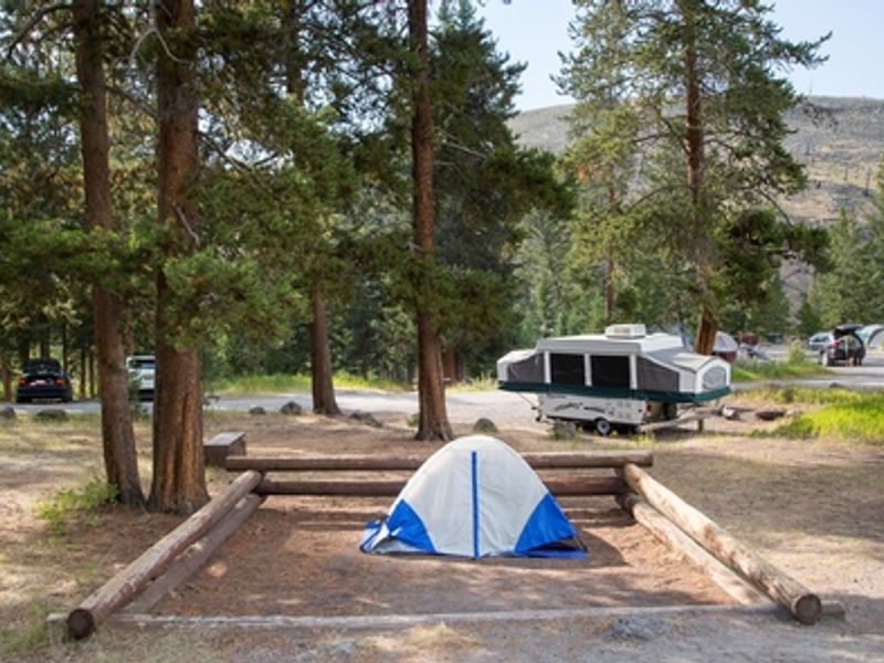
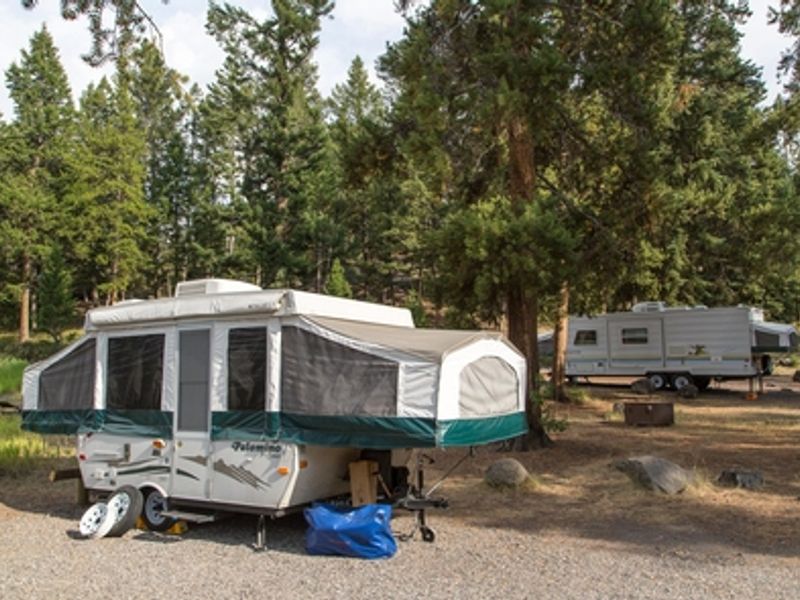
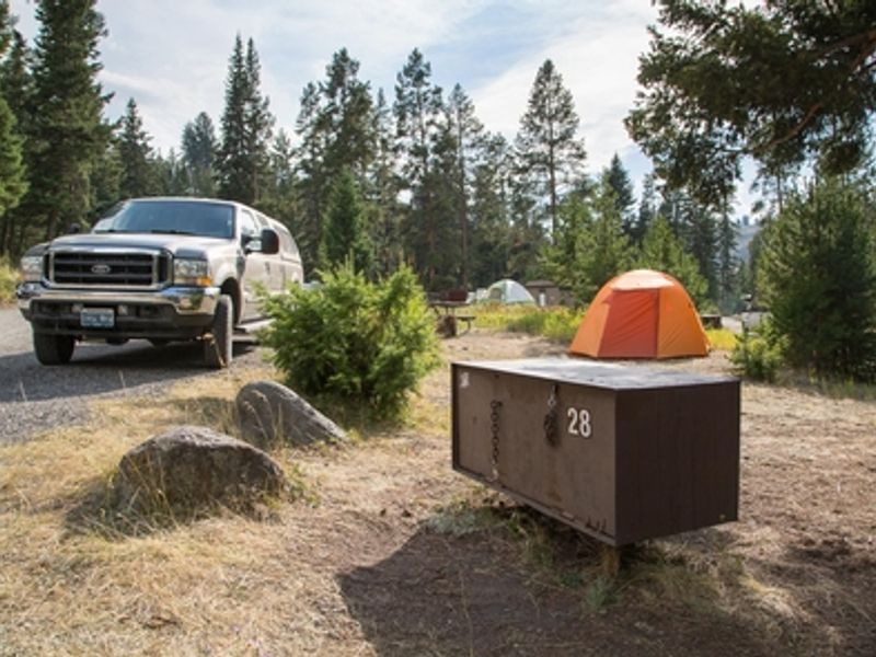
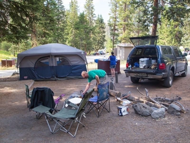
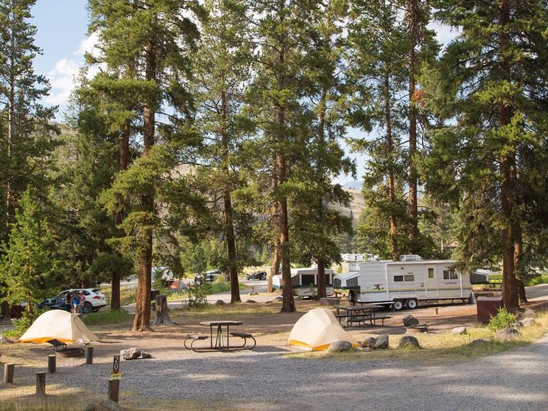
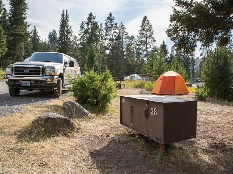
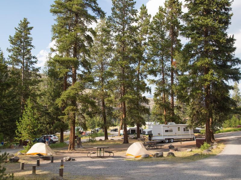
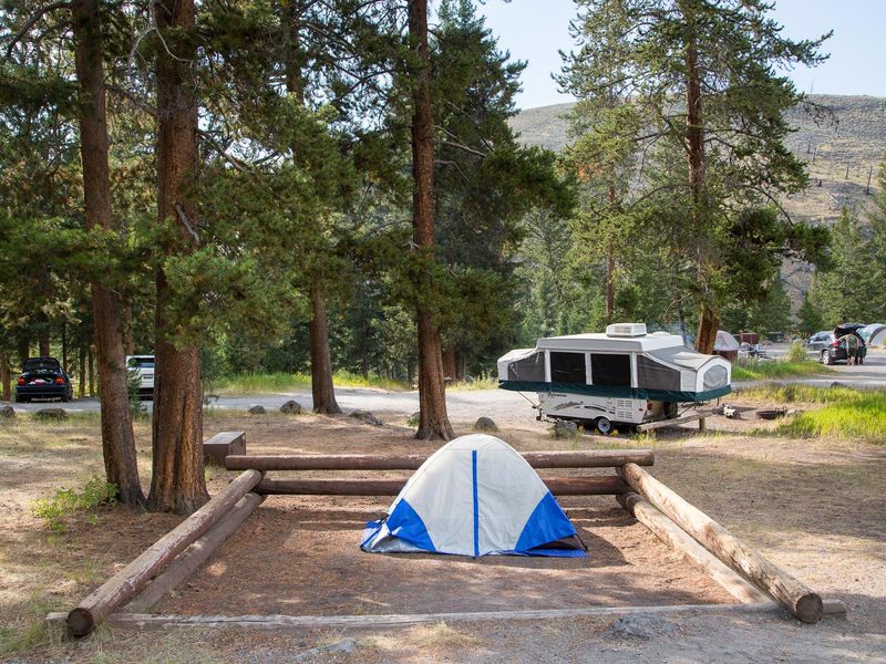
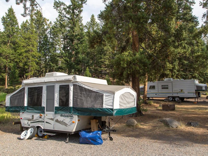
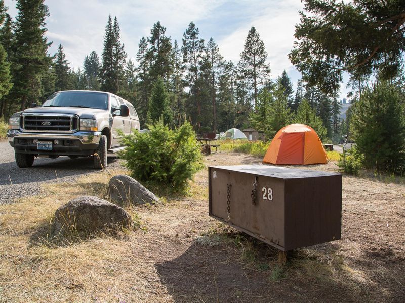
Tower Fall Campground occupies a scenic position in Yellowstone's Tower-Roosevelt area at 6,600 feet elevation. Located 3.5 miles south of Tower-Roosevelt Junction, the campground sits on the north side of the winding road to Dunraven Pass. A short trail from the campground leads to an overlook of the 132-foot Tower Fall. The nearby Lamar Valley is one of the park's premier wildlife viewing destinations, with bison, elk, wolves, and grizzly bears frequently spotted. The campground has 31 sites, all standard nonelectric with a maximum vehicle length of 30 feet. Sites may not be level, and the loop contains a hairpin curve that makes it unsuitable for larger RVs. Amenities include vault toilets, seasonal potable water, trash collection, and food storage lockers at each site. There are no showers, hookups, or dump station on-site. Generators are prohibited. Quiet hours run from 10 pm to 6 am. Wood and charcoal fires are permitted, though fire restrictions may be imposed during high fire danger. Maximum site occupancy is six people. Camping is limited to 14 consecutive nights from July 1 through Labor Day and 30 nights the rest of the operating season.
Directions
Located 3.5 miles south of Tower-Roosevelt Junction on the road between Tower Fall and Canyon, north of Dunraven Pass.
Location
Amenities
| Water | Yes |
| Fires Allowed | Yes |
| Toilets | Yes |
| Dump Station | — |
| Wifi | — |
| Pets Allowed | — |
| Showers | No |
| Electric Hookups | — |
| Water Hookups | — |
| Sewer Hookups | — |
| Camp Store | No |
| Price | $20 |
Vehicle
| Max RV Length | 33ft |
| Max Trailer Length | 18ft |
| Big Rig Friendly | No |
| Pull Through Sites | No |
Contact
| YELL_visitor_services@nps.gov | |
| Phone | +1 (307) 344-7381 |
Cell Service
| AT&T | None |
| Verizon | None |
| T-Mobile | None |
Availability
Photos
Community Posts
No posts yet. Be the first to share your experience!