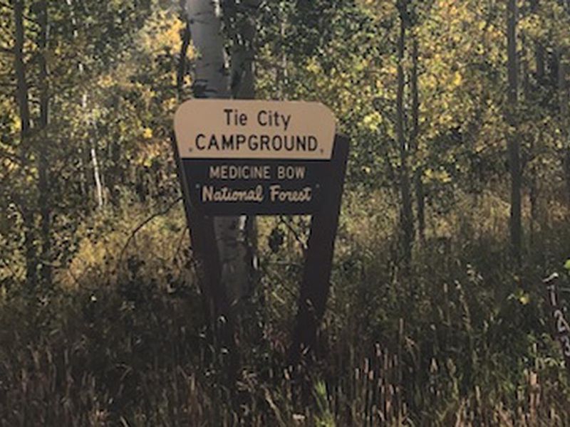
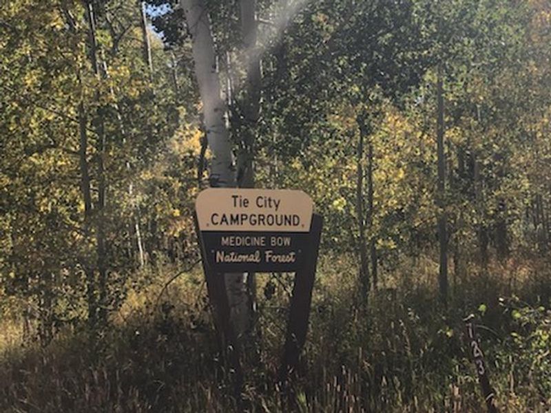
Tie City Campground
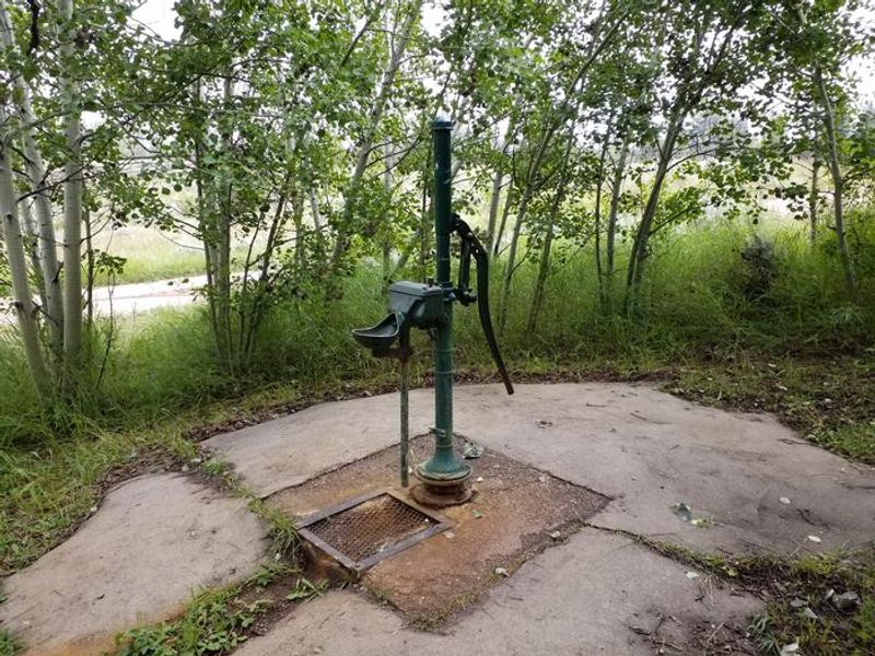
Closed for the season. Potable water from the hand pump is typically available July through September. The campground operates with a mix of reservable sites through Recreation.gov and first-come, first-served sites.
Wheeled Vehicles in Wilderness
This order describes the prohibition of wheeled vehicles in all National Forest Wilderness Areas of the Rocky Mountain Region and any exceptions thereof.
Weed Free Forage Products
The purpose of this Order is to prevent the introduction or spread of noxious weeds.
Cave Closure and Restrictions
The purpose of this Order is to reduce the spread of the fungus that causes White nose syndrome and to protect bat species during critical biological periods.
About
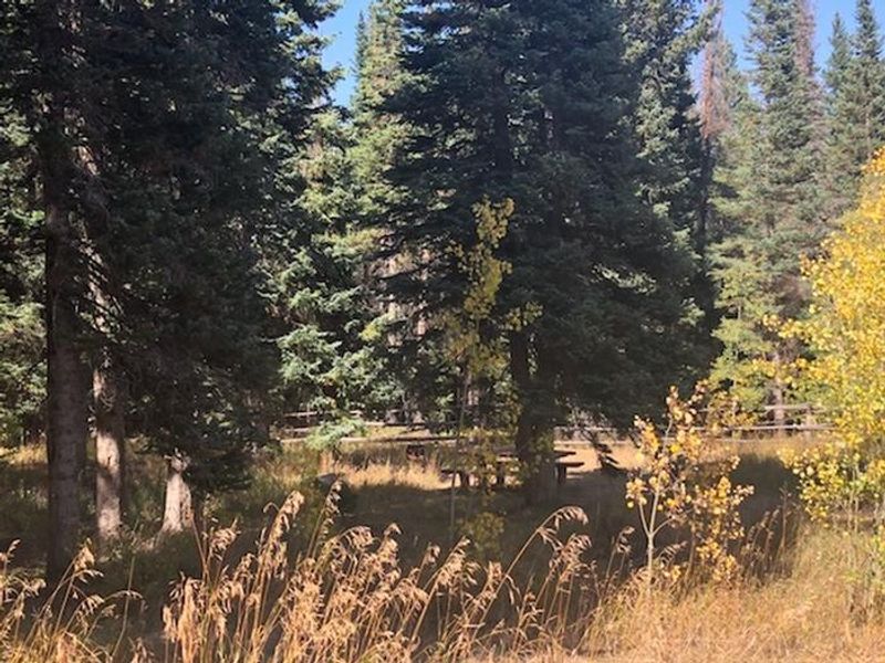
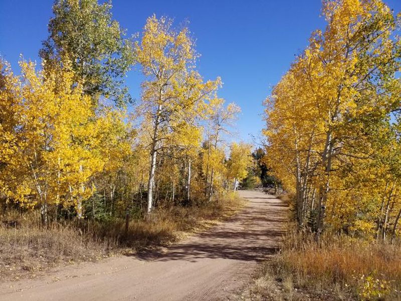
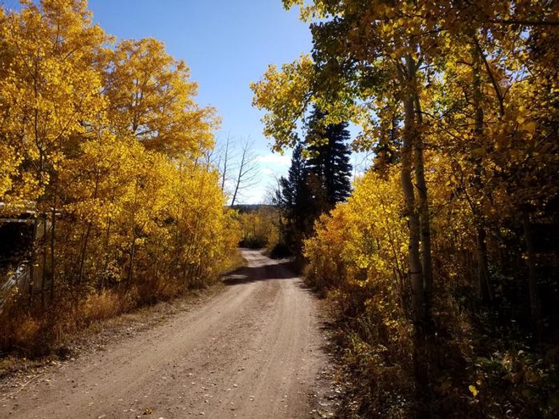
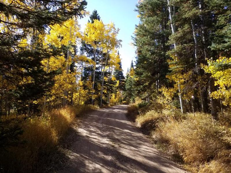
Tie City Campground sits at 8,600 feet elevation in the Pole Mountain area of Medicine Bow-Routt National Forests. The 17 campsites are arranged in a single teardrop loop, with some nestled in dense groves of aspen, fir, and spruce while others occupy grassy meadow settings. The interior road is narrow and rough in places. The campground operates with a mix of reservable and first-come, first-served sites. The Tie City and Happy Jack trail system is accessible directly from the campground or the adjacent trailhead, offering a network of challenging mountain bike trails. The South Fork of Lodgepole Creek runs close by with good brook trout fishing. Nearby corrals accommodate equestrian use. The area is also popular for cross-country skiing in winter. Tie City was named for the railroad workers who cut railroad ties for the Union Pacific Railroad from this forest. Vedauwoo Recreation Area, known for its spectacular granite rock formations and rock climbing, is located nearby.
Directions
From Laramie, take Interstate 80 east 9.5 miles to WY 210 (Exit 323). Turn onto Exit 323 and go left at the stop sign onto WY 210/Happy Jack Rd, then 0.1 miles to Happy Jack Recreation Area sign. Turn left at sign (staying on WY 210) and go 1 mile to campground sign, then turn right.
Amenities
| Water | Yes |
| Fires Allowed | Yes |
| Toilets | Yes |
| Dump Station | — |
| Wifi | No |
| Pets Allowed | Yes |
| Showers | No |
| Electric Hookups | — |
| Water Hookups | — |
| Sewer Hookups | — |
| Camp Store | No |
| Price | $20 |
Vehicle
| Max RV Length | 32ft |
| Max Trailer Length | 32ft |
| Big Rig Friendly | No |
| Pull Through Sites | No |
Contact
| Phone | +1 (307) 745-2300 |
Cell Service
| AT&T | Yes |
| Verizon | Yes |
| T-Mobile | Yes |
Useful Links
| View on Recreation.gov | |
| USFS - Tie City Campground |
Availability
Photos
Community Posts
No posts yet. Be the first to share your experience!