Thompson Flat
Closed for the season due to snow. Typically opens around July 4th weekend and operates through October. The drinking water system is currently inoperable; campers should bring their own water supply. Eight sites are reservable via Recreation.gov; 17 sites are first-come, first-served.
Weed Free Hay Order
This Order requires that non-pelletized hay, straw, or mulch is certified as weed free by the state where the product originated.
Paradise Prescribed Burn Restricted Access
Conditions permitting, the Fairfield Ranger District plans to conduct prescribed burning Oct. 19 in units 1-3, 5 and 7 of the Paradise Prescribed Burn area, as depicted on this interactive map. During firing operations, National Forest System Road 030, commonly known as Paradise Creek Road, will…
Public Safety – Occupancy and Use
This order covers public health and safety on all National Forest System lands and roads within the Sawtooth National Forest.
About
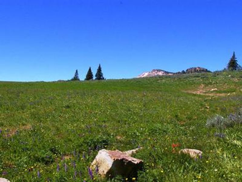
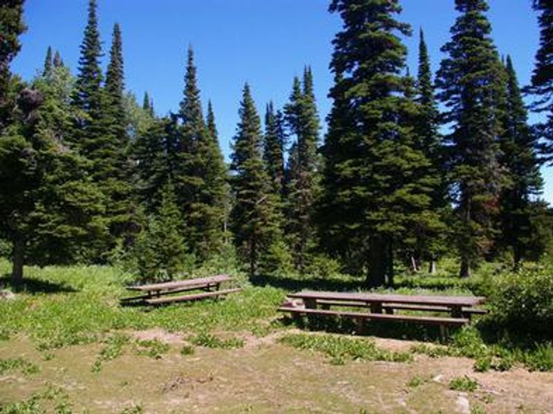
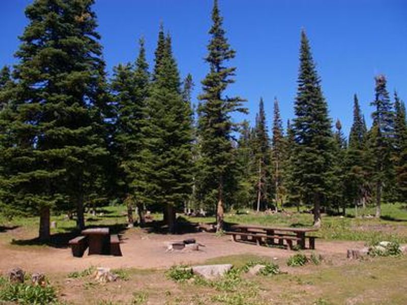
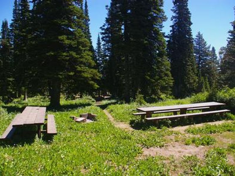
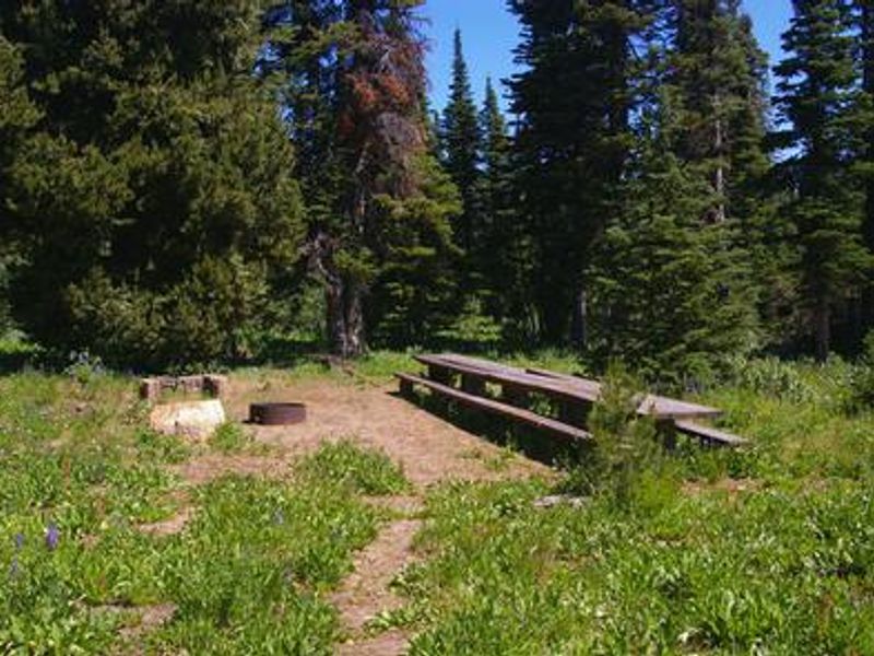
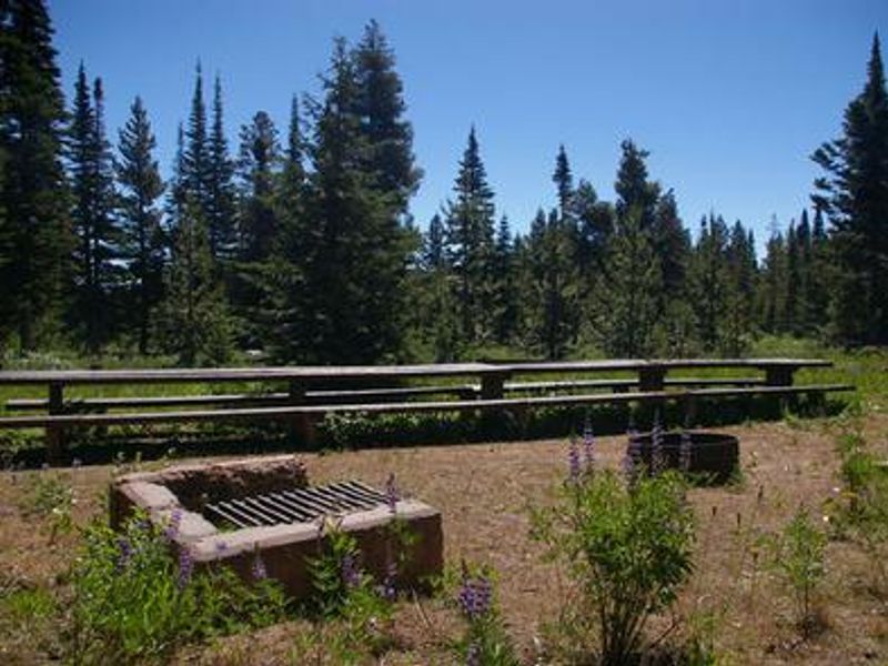
Thompson Flat Campground is located high in the Albion Mountain Range of southern Idaho's Sawtooth National Forest, near the towns of Declo and Albion. Situated at 8,400 feet elevation, the campground occupies a scenic wildflower-filled meadow lined with tall pine and fir trees on the eastern slope of Mount Harrison. The campground features 25 units: 21 individual sites, 4 double units, and 3 group sites accommodating 40-64 people each. Eight sites are reservable through Recreation.gov while 17 are first-come, first-served. All sites have picnic tables with grills and campfire rings, with accessible vault toilets on site. A campground host is present during the season. Recreation opportunities abound. Lake Cleveland, just two miles away, offers fishing, canoeing, and trail access. The Twin Lakes area across the road provides picnic areas, horse corrals, and the Skyline Trail trailhead. A drive up to Mount Harrison Lookout rewards visitors with panoramic valley views. Pomerelle Ski Area below offers summer lift-served hiking, mountain biking, and scenic chairlift rides on weekends.
Directions
From Interstate 84, take exit 216 and follow State Highway 77 south for approximately 18 miles through Declo and Albion to Howell Canyon Road. Turn west at the Pomerelle Ski Area sign and drive 7.9 miles up the steep, winding canyon road. Watch for the campground entrance on the right.
Nearby Campgrounds
Amenities
| Water | No |
| Fires Allowed | Yes |
| Toilets | Yes |
| Dump Station | — |
| Wifi | — |
| Pets Allowed | — |
| Showers | No |
| Electric Hookups | — |
| Water Hookups | — |
| Sewer Hookups | — |
| Camp Store | — |
| Price | $8 - $50 |
Vehicle
| Max RV Length | 60ft |
| Max Trailer Length | 60ft |
| Big Rig Friendly | — |
| Pull Through Sites | No |
Contact
| Phone | +1 (208) 678-0430 |
Cell Service
| AT&T | Yes |
| Verizon | Yes |
| T-Mobile | Yes |
Availability
Photos
Community Posts
No posts yet. Be the first to share your experience!