Castle Rocks State Park
The campground is currently closed. The typical operating season runs mid-April through late October. Prescribed burn operations occurred April 10 through May 10, 2026. Water service and flush toilets/showers operate May through September. Reservations are required year-round via Idaho State Parks.
Flood Watch issued October 10 at 12:53AM MDT until October 12 at 6:00PM MDT by NWS Pocatello ID
* WHAT...Flooding caused by excessive rainfall is possible. Storm total rainfall amounts of 1-2 inches are possible across the area with localized amounts closer to 3 inches possible in spots. * WHERE...Portions of central, eastern, south central, and southeast Idaho, including the following areas, in central Idaho, Sun Valley Region and Wood River Foothills. In eastern Idaho, Beaverhead - Lemhi Highlands, Big Hole Mountains, Centennial Mountains - Island Park and Teton Valley. In south central Idaho, Eastern Magic Valley and Shoshone/Lava Beds. In southeast Idaho, Arco/Mud Lake Desert, Bear Lake Valley, Bear River Range, Blackfoot Mountains, Caribou Range, Franklin/Eastern Oneida Region, Lower Snake River Plain, Marsh and Arbon Highlands, Raft River Region, Southern Hills/Albion Mountains and Upper Snake River Plain. * WHEN...From noon MDT today through Monday afternoon. * IMPACTS...Excessive runoff may result in flooding of rivers, creeks, streams, and other low-lying and flood-prone locations. * ADDITIONAL DETAILS... - A prolonged period of rainfall is expected across eastern Idaho throughout the weekend which could lead to some flooding across parts of the advised area. An upper low moving into the Pacific Northwest will combine with tropical moisture from Tropical Cyclone Rachel to usher in a cooler, wetter weather pattern across eastern Idaho. - http://www.weather.gov/safety/flood
About
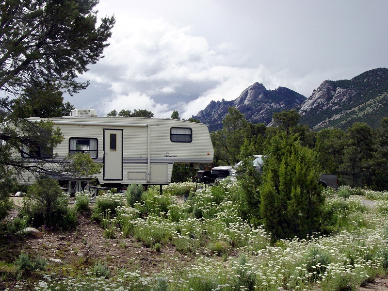
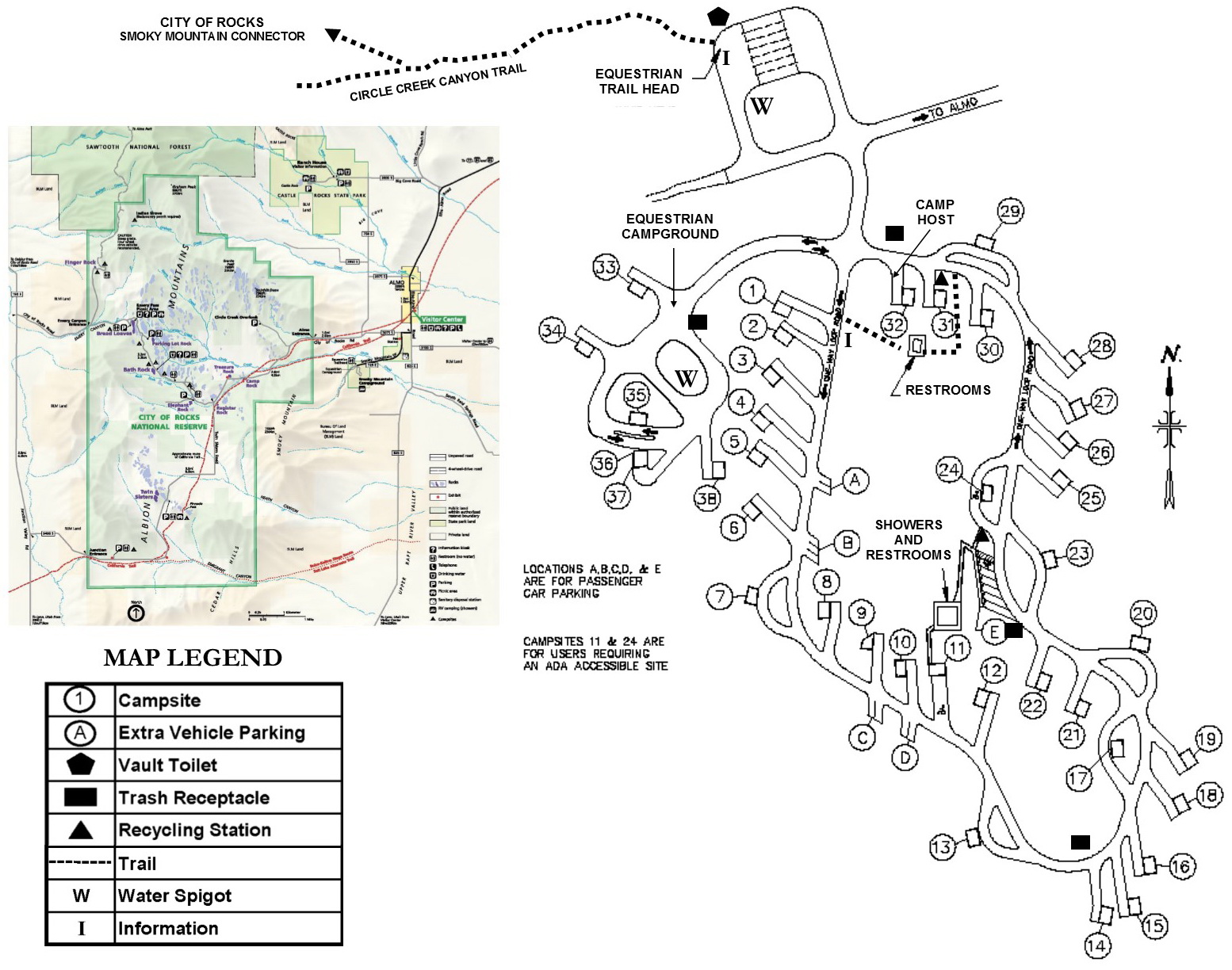
Castle Rocks State Park's Smoky Mountain Campground sits at 7,500 feet on the eastern slope of Smoky Mountain, surrounded by Idaho's largest pinyon pine forest. The 38 campsites include general camping (sites 1-31), two ADA-accessible sites (11 and 24), and six equestrian sites (33-38) with nearby corrals. Nine sites are pull-through, and all feature 30-amp electrical service, picnic tables, and fire rings with grills. The campground provides flush toilets and hot showers from May through September, with a year-round vault toilet at the equestrian trailhead. An RV dump station near the entrance offers seasonal rinsing water. Sites accommodate RVs and trailers between 42 and 60 feet. Beyond traditional camping, the park offers the century-old Ranch House, Almo Creek Cottage, and Willow Glamping Yurt for alternative lodging. The park connects to City of Rocks National Reserve via trail, offering access to world-class granite spires and over 600 climbing routes. The area features more than 22 miles of multi-use trails for hiking, mountain biking, and horseback riding through high-desert terrain dotted with sculpted granite formations.
Directions
From I-84, take Exit 216 (Declo). Head south on State Highway 77 through Albion and continue to Almo. Turn right onto Elba-Almo Road and continue approximately 2 miles to the park entrance at 3035 S Elba-Almo Road, Almo, ID 83312.
Nearby Campgrounds
Location
Amenities
| Water | Yes |
| Fires Allowed | Yes |
| Toilets | Yes |
| Dump Station | Yes |
| Wifi | — |
| Pets Allowed | Yes |
| Showers | Yes |
| Electric Hookups | Yes |
| Water Hookups | Yes |
| Sewer Hookups | No |
| Camp Store | — |
| Price | $222 |
Vehicle
| Max RV Length | 60ft |
| Max Trailer Length | 60ft |
| Big Rig Friendly | Yes |
| Pull Through Sites | Yes |
Contact
| Phone | +1 (208) 824-5901 |
Cell Service
| AT&T | Yes |
| Verizon | None |
| T-Mobile | None |
Availability
Photos
Community Posts
No posts yet. Be the first to share your experience!