Tail Race Campground
Open and accessible when roads are passable. No reservations are accepted; all sites are first-come, first-served. No fee is charged.
About
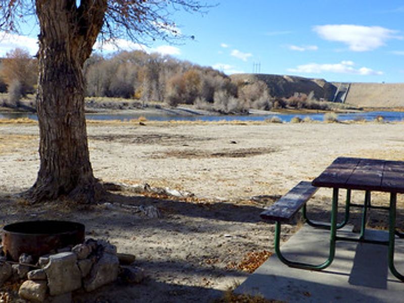
Tail Race Campground is a primitive, no-fee camping area managed by the BLM Kemmerer Field Office in partnership with the Bureau of Reclamation. Located a quarter mile south of Fontenelle Reservoir on the east side of the Green River, this small campground offers three designated campsites, each equipped with a fire ring. A single vault toilet serves the area. The campground sits in a uniquely rich location wedged between Fontenelle Reservoir and Seedskadee National Wildlife Refuge. This positioning makes it an outstanding base for birding, fishing, and non-motorized water sports. The Green River corridor supports diverse wildlife and provides quality fishing opportunities. Historically, this area served as a gathering place for fur trappers during their annual rendezvous in the early 1800s. Modern visitors can still appreciate the appeal of this welcoming riverside setting that drew those early explorers.
Directions
Travel east on Highway 372 for one mile, cross the Green River Bridge, then immediately turn north for four miles. Turn west before the dam toward the river and continue one mile further.
Amenities
| Water | No |
| Fires Allowed | Yes |
| Toilets | Yes |
| Dump Station | No |
| Wifi | No |
| Pets Allowed | — |
| Showers | No |
| Electric Hookups | — |
| Water Hookups | — |
| Sewer Hookups | — |
| Camp Store | No |
| Price | $0 |
Vehicle
| Max RV Length | — |
| Max Trailer Length | — |
| Big Rig Friendly | — |
| Pull Through Sites | — |
Contact
| kemmerer_wymail@blm.gov | |
| Phone | +1 (307) 828-4500 |
Cell Service
| AT&T | None |
| Verizon | Yes |
| T-Mobile | Yes |
Photos
Community Posts
No posts yet. Be the first to share your experience!