South Fork
Closed for the season. Opens Memorial Day weekend, weather dependent. Reservations available through Recreation.gov.
Red Flag Warning issued October 9 at 12:48AM MDT until October 9 at 9:00PM MDT by NWS Billings MT
* IMPACTS: Low humidities, unseasonably warm temperatures, and strong gusty winds will create erratic fire behavior and rapid spread for new or existing fires. * AFFECTED AREA: In North Central WY Fire Zones...274...284. In South Central MT Fire Zones...123...124...126. * COUNTIES AFFECTED: In Central MT...Wheatland. In North Central WY...Big Horn...Johnson...Sheridan...Washakie. In South Central MT...Carbon...Park...Stillwater...Sweet Grass. In Southwest MT...Gallatin. * WIND: Southwest 15 to 30 mph with gusts up to 45 mph. * HUMIDITY: As low as 7 percent. * TEMPERATURES: 84 to 90 degrees, warmest over Zone WY274. * ADDITIONAL DETAILS: The worst conditions are expected across the lower to middle elevations in fine fuels. The strongest winds are expected in mountain locations and the foothills west of Billings. Zone WY274 will see lower wind gusts of 15 to 25 mph.
Wheeled Vehicles in Wilderness
This order describes the prohibition of wheeled vehicles in all National Forest Wilderness Areas of the Rocky Mountain Region and any exceptions thereof.
Weed Free Forage Products
The purpose of this Order is to prevent the introduction or spread of noxious weeds.
About
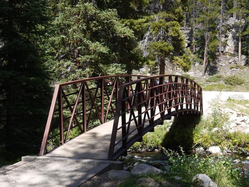
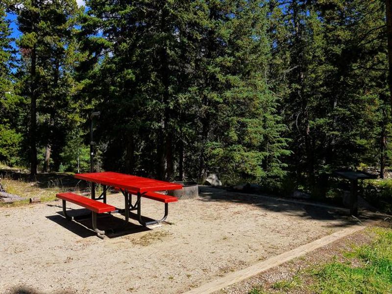
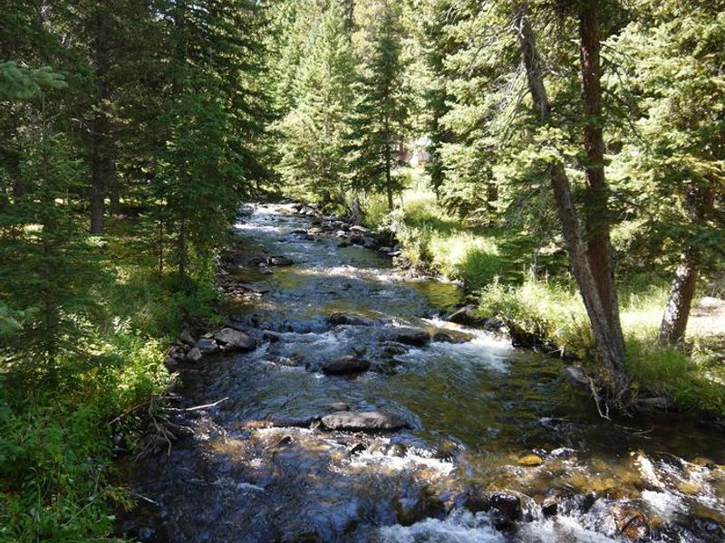
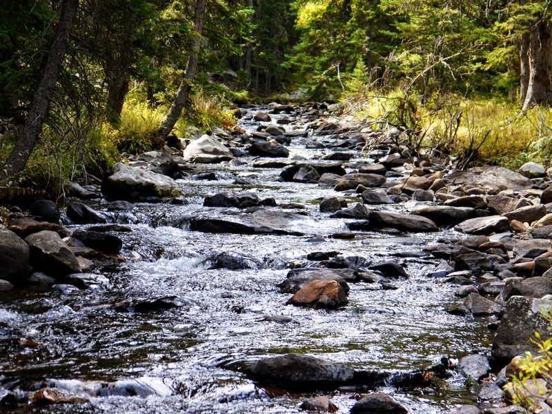
South Fork Campground is located 15 miles west of Buffalo, Wyoming on the scenic Cloud Peak Skyway (U.S. Highway 16) within Bighorn National Forest. Situated at 7,800 feet elevation on the banks of South Fork Clear Creek, the campground is nestled in a dense grove of lodgepole pines on the east side of the Bighorn Mountains near the Cloud Peak Wilderness Area. The campground offers 13 sites split between two loops: 8 standard drive-in sites in the SOUT loop and 5 walk-to sites in the WALK loop. Each site includes a picnic table and campfire ring with grill. Vault toilets, drinking water from a hand pump, and trash collection are provided. The campground is built to accessibility standards. Circle Park Trailhead is 3 miles from the campground, providing access to numerous alpine lakes and two 12,000-foot peaks within the Cloud Peak Wilderness. Tie Hack Reservoir nearby offers canoeing and fishing for rainbow, cutthroat, brown, and brook trout. South Fork Lodge across the highway provides dining, lodging, and a small store with camping supplies.
Directions
From Buffalo, Wyoming, take U.S. Highway 16 west for 15 miles to Forest Service Road 337. Follow Forest Service Road 337 east for 0.25 miles to the campground.
Amenities
| Water | Yes |
| Fires Allowed | Yes |
| Toilets | Yes |
| Dump Station | — |
| Wifi | No |
| Pets Allowed | Yes |
| Showers | No |
| Electric Hookups | — |
| Water Hookups | — |
| Sewer Hookups | — |
| Camp Store | No |
| Price | $20 |
Vehicle
| Max RV Length | 65ft |
| Max Trailer Length | 65ft |
| Big Rig Friendly | — |
| Pull Through Sites | No |
Contact
| gccampgrounds13@gmail.com | |
| Phone | +1 (307) 684-7806 |
Cell Service
| AT&T | None |
| Verizon | None |
| T-Mobile | None |
Availability
Photos
Community Posts
No posts yet. Be the first to share your experience!