Currently closed due to road damage from Tropical Storm Hilary. Opening day has been delayed, with the campground hoping to reopen during summer 2026. Reservations are handled through Recreation.gov.
Flood Watch issued October 10 at 9:16PM PDT until October 11 at 8:00PM PDT by NWS San Diego CA
* WHAT...Flooding caused by excessive rainfall continues to be possible. * WHERE...A portion of Southwest California, including the following areas, Apple and Lucerne Valleys, Coachella Valley, Riverside County Mountains, San Bernardino County Mountains, San Diego County Coastal Areas, San Diego County Deserts, San Diego County Mountains, San Diego County Valleys and San Gorgonio Pass near Banning. * WHEN...Through Sunday evening. * IMPACTS...Excessive runoff may result in flooding of rivers, creeks, streams, and other low-lying and flood-prone locations. * ADDITIONAL DETAILS... - Post-Tropical Cyclone Rachel will bring periods of moderate to heavy rain to all of San Diego County, Riverside County mountains and deserts, and San Bernardino County mountains and deserts through late Sunday afternoon. Maximum hourly rainfall rates of 0.50 to 0.60 inches per hour are possible for San Diego Coast and Valleys. Maximum hourly rainfall rates of 0.50 to 0.70 inches per hour are possible across area deserts and 0.70 to 1 inch per hour rates are possible across area mountains. Heaviest rainfall is most likely through early Sunday afternoon. Rainfall will taper off from south to north Sunday. Lingering lighter showers are expected to continue into Monday. - https://www.weather.gov/safety/flood
Wind Advisory issued October 10 at 9:19PM PDT until October 12 at 5:00AM PDT by NWS San Diego CA
* WHAT...Southwest winds 20 to 30 mph with gusts up to 55 mph expected. * WHERE...San Bernardino County Mountains. * WHEN...From 5 AM Sunday to 5 AM PDT Monday. * IMPACTS...Gusty winds will blow around unsecured objects. Tree limbs could be blown down and a few power outages may result.
From Recreation.gov
**Opening day for this campground has been delayed due to continued road damage repair work. We hope to be able to open in the 2026 summer. We sincerely apologize for any inconvenience this may cause and greatly appreciate your patience. **
About
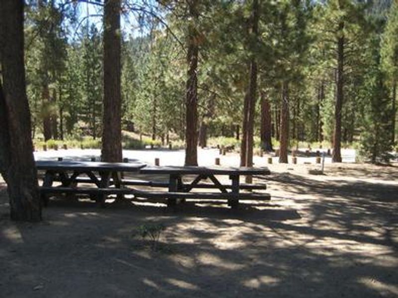
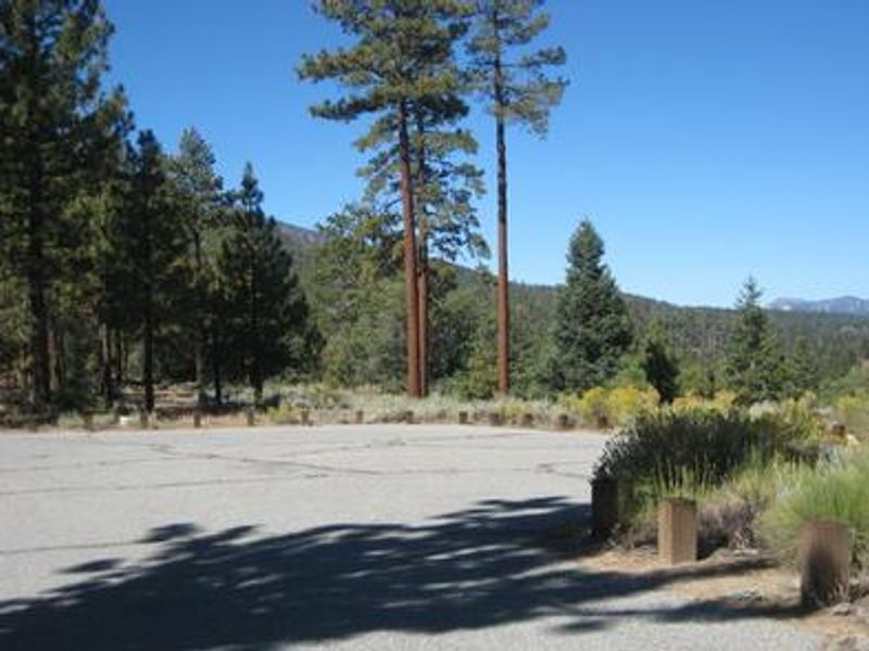
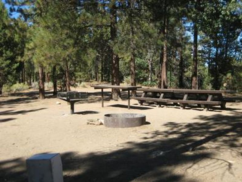
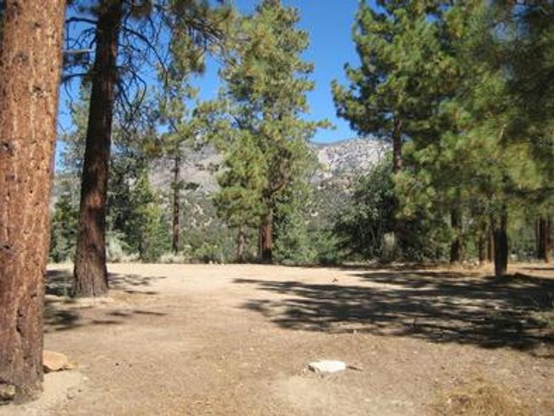
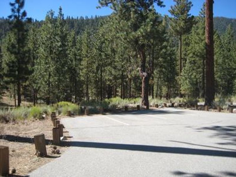
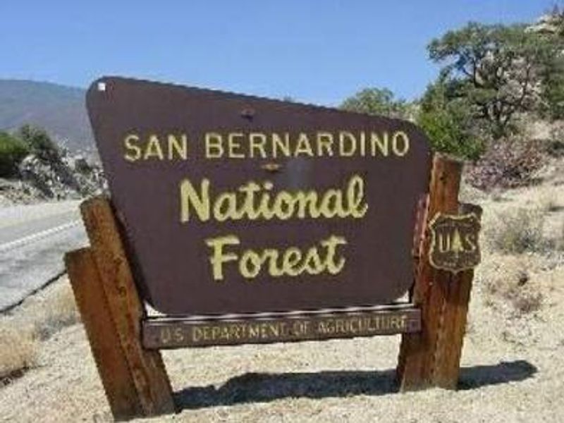
Skyline Group Campground offers a secluded group camping experience in the pine-covered mountains of San Bernardino National Forest. Located at the back of the Heart Bar Campground complex at 6,880 feet elevation, the campground provides a remote atmosphere while remaining within 20 miles of Big Bear Lake. The single large group site can accommodate up to 25 campers and 9 vehicles, with paved roads and parking. The campground is equipped with multiple picnic tables, a pedestal grill, one group fire ring, and potable water. Campers must pack out all trash as no trash service is provided, and restroom facilities are not available at this site. The surrounding area offers abundant recreation including the Santa Ana River Trail for hiking, biking, and horseback riding, as well as the Wildhorse Creek Trail and the scenic Aspen Grove Trail leading to a grove of quaking aspen.
Directions
From San Bernardino, travel on I-10 to the Alabama exit in Redlands. Turn onto Lugonia Avenue (Highway 38) and head northeast approximately 31 miles. Turn onto Forest Route 1N02 and continue less than a mile to Heart Bar Campground. Skyline is located at the back of the complex.
Amenities
| Water | Yes |
| Fires Allowed | Yes |
| Toilets | No |
| Dump Station | No |
| Wifi | No |
| Pets Allowed | Yes |
| Showers | No |
| Electric Hookups | — |
| Water Hookups | — |
| Sewer Hookups | — |
| Camp Store | No |
| Price | $127 |
Vehicle
| Max RV Length | 30ft |
| Max Trailer Length | 30ft |
| Big Rig Friendly | — |
| Pull Through Sites | No |
Contact
| Phone | +1 (909) 382-2790 |
Cell Service
| AT&T | None |
| Verizon | Yes |
| T-Mobile | None |
Availability
Photos
Community Posts
No posts yet. Be the first to share your experience!