Open for the season. Operates approximately April 10 through October 31. Reservations via Recreation.gov must be made 4 days ahead of arrival; first-come, first-served sites also available. Bear country: proper food storage required.
Wind Advisory issued October 10 at 1:46AM EDT until October 11 at 11:00AM EDT by NWS Baltimore MD/Washington DC
* WHAT...East winds 20 to 25 mph with gusts up to 50 mph expected. * WHERE...In Maryland, Western Garrett County. In West Virginia, Western Grant and Western Pendleton Counties. * WHEN...From 8 PM this evening to 11 AM EDT Sunday. * IMPACTS...Gusty winds will blow around unsecured objects. Tree limbs could be blown down and a few power outages may result.
Interagency Passes
Interagency Passes are available for purchase at our Welcome Center Monday through Saturday between the hours of 8:00am and 4:30pm. We recommend calling our front desk at 815-423-6370 prior to your arrival to make sure a qualified staff member is present to distribute passes.Our Welcome Center…
Henslow Trail Bridge Closures
Henslow Trail is rerouted onto Baseline Rd., Schoolhouse Rd., and South Patrol Rd. due to bridge closures. There is currently no timetable for the repairs to be completed. Please follow all signage and stay away from the bridges. Contact the Midewin NTP Visitor Center at 815-423-6370 with any…
About
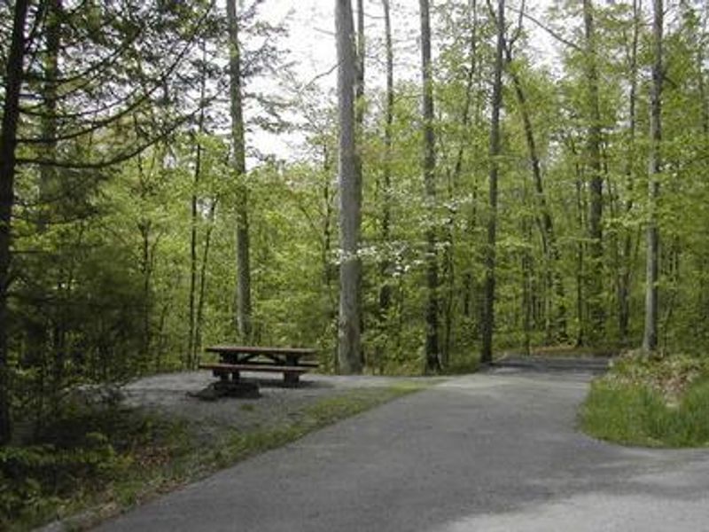
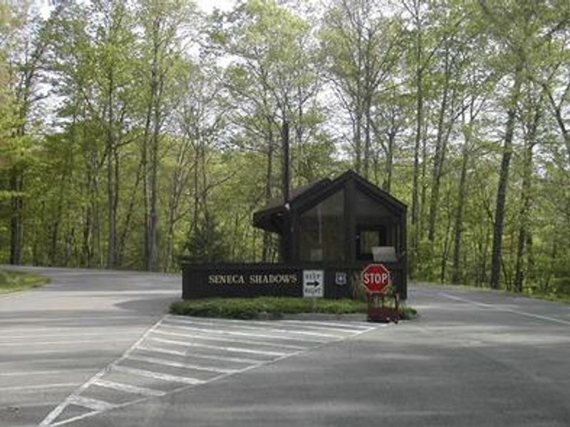
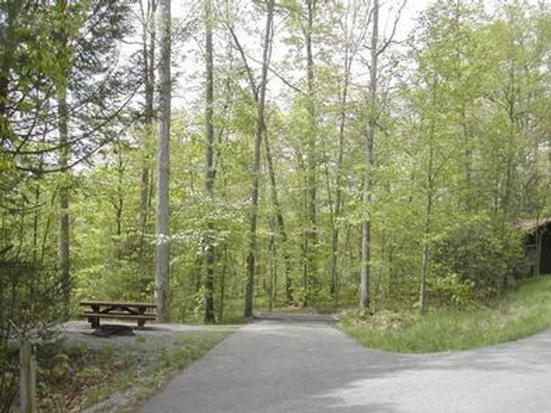
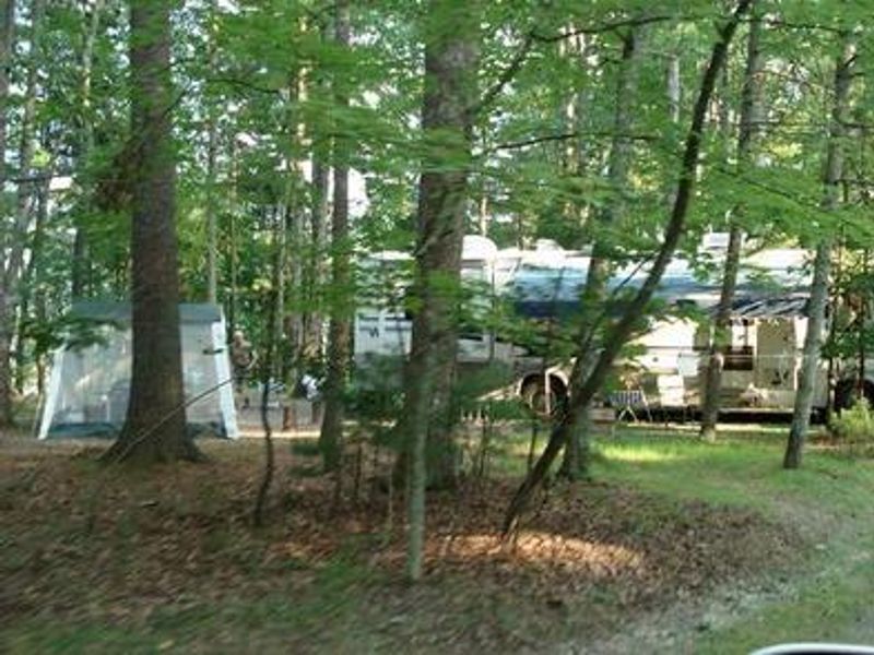
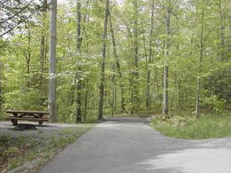
Seneca Shadows Campground provides a well-developed camping experience at the base of Seneca Rocks in the Spruce Knob-Seneca Rocks National Recreation Area. The campground offers 11 standard sites with electric hookups, 2 double electric sites, 23 standard non-electric sites, 2 double non-electric sites, 40 walk-in tent sites, and 3 group sites accommodating up to 60 people. All sites have fire rings, picnic tables, and lantern posts, with paved spurs at standard sites. Facilities include four multi-toilet flush restrooms with showers, three vault toilet buildings, a dump station, and an outdoor amphitheater with lighting and sound equipment. Firewood is available for purchase. The North Fork South Branch Potomac River runs nearby. The Seneca Rocks hiking trail is accessible directly across the road, leading to the summit with panoramic views of the surrounding Allegheny Mountains. The Seneca Rocks Discovery Center offers catch-and-release fishing, viewing platforms, educational displays, and a gift shop.
Directions
From Elkins, WV: Take US 33 east 34 miles, turn right into the campground. From Petersburg, WV: Take State Hwy 28 south 22 miles, turn right into the campground. From Franklin, WV: Take US 33 west 24 miles, turn left into the campground.
Amenities
| Water | Yes |
| Fires Allowed | Yes |
| Toilets | Yes |
| Dump Station | Yes |
| Wifi | — |
| Pets Allowed | Yes |
| Showers | Yes |
| Electric Hookups | Yes |
| Water Hookups | No |
| Sewer Hookups | No |
| Camp Store | — |
| Price | $17 - $65 |
Vehicle
| Max RV Length | 90ft |
| Max Trailer Length | 90ft |
| Big Rig Friendly | No |
| Pull Through Sites | No |
Contact
| Help.Monongahela.Potomac@AmericanLL.com | |
| Phone | +1 (304) 567-3082 |
Cell Service
| AT&T | None |
| Verizon | None |
| T-Mobile | None |
Availability
Photos
Community Posts
No posts yet. Be the first to share your experience!