Sardine Lake
The campground is closed for the season. Tentative opening date is June 1, 2026. The typical operating season runs from late May through mid-October. Reservations are available through Recreation.gov.
National Forest System Roads
Follow California Vehicle Code on National Forest System Roads
Fireworks and Explosives are always Prohibited
Fireworks and explosives (including explosive targets) are always prohibited on national forest lands. The prohibition of fireworks and exploding targets on national forest system lands is part of a set of permanent fire safety regulations in the Code of Federal Regulations (CFR), listed below.…
Downieville Downhill Closure Order
Closure of identified forest roads and trails for Downieville Downhill.
About
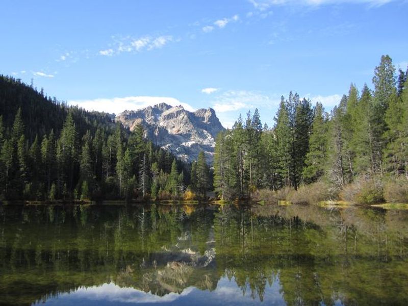
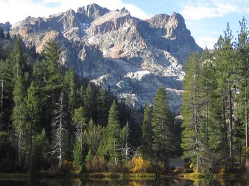
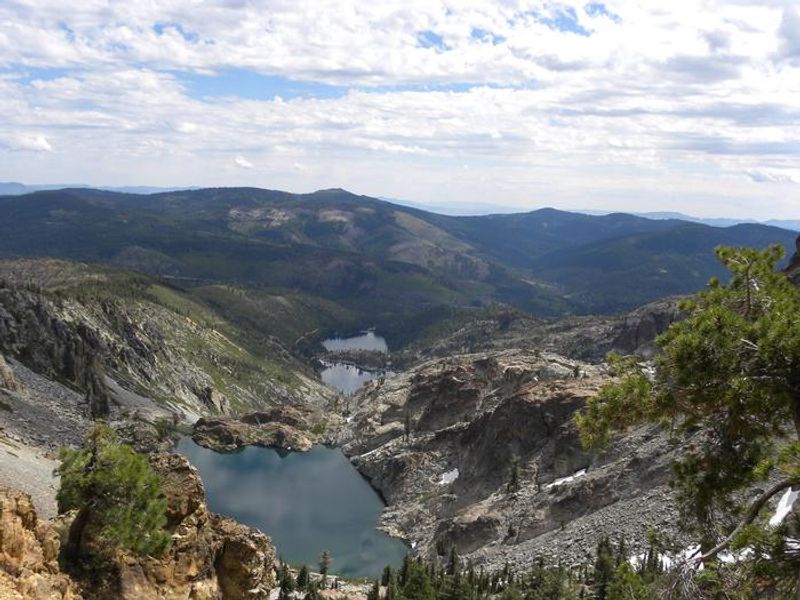
Sardine Lake Campground is nestled in a lodgepole pine forest at the base of the scenic Sierra Buttes in the Lakes Basin area of Tahoe National Forest. The campground stretches along a wet meadow at approximately 5,800 feet elevation, offering partial shade and striking views of the surrounding rugged granite peaks and glacially carved ridges. The campground features 27 sites, including 26 standard nonelectric sites and one double site. Each site comes equipped with a picnic table, campfire ring, and bear-proof food storage locker. Vault toilets and piped drinking water are provided. Sites accommodate tents, trailers up to 15 feet, and small RVs up to 22 feet, though access roads and site configurations favor smaller rigs. Sardine Lakes lie less than a mile west and offer excellent fishing for rainbow and brook trout, swimming, and non-motorized boating. Sardine Lakes Resort nearby provides boat rentals, lodging, and a restaurant. The area serves as a gateway to over 30 miles of maintained trails for hiking and mountain biking, including access to the Pacific Crest Trail. The historic towns of Sierra City and Downieville offer additional services and cultural attractions.
Directions
From Sierra City, drive north on Highway 49 for approximately 4.5 miles to Bassetts Station. Turn left onto Gold Lake Highway and continue 1.5 miles north. Turn left onto Sardine Lake Road and proceed about 0.5 mile to the campground.
Location
Amenities
| Water | Yes |
| Fires Allowed | Yes |
| Toilets | Yes |
| Dump Station | No |
| Wifi | No |
| Pets Allowed | Yes |
| Showers | No |
| Electric Hookups | — |
| Water Hookups | — |
| Sewer Hookups | — |
| Camp Store | No |
| Price | $48 |
Vehicle
| Max RV Length | 42ft |
| Max Trailer Length | 15ft |
| Big Rig Friendly | No |
| Pull Through Sites | No |
Contact
| Phone | +1 (530) 478-6253 |
Cell Service
| AT&T | None |
| Verizon | None |
| T-Mobile | None |
Availability
Photos


Community Posts
No posts yet. Be the first to share your experience!