Sierra Buttes Lookout, hike near campground
Closed

Currently closed for the season. The campground operates seasonally from late spring through fall, typically opening in late May or June depending on snowpack conditions. Reservations are available through Recreation.gov.

National Forest System Roads

Follow California Vehicle Code on National Forest System Roads

Fireworks and Explosives are always Prohibited

Fireworks and explosives (including explosive targets) are always prohibited on national forest lands. The prohibition of fireworks and exploding targets on national forest system lands is part of a set of permanent fire safety regulations in the Code of Federal Regulations (CFR), listed below.…

Downieville Downhill Closure Order

Closure of identified forest roads and trails for Downieville Downhill.

Big Chief Sale Closure

This order closes forest system roads and trails within the Big Chief project area. This closure is to provide for public safety while 675 acres of forest are treated to enhance wildfire defense in the area.

Woodchopper Timber Sale Closure

Closure of the Woodchopper project area to allow for timber removal and wildfire risk reduction work.

Boca Stewardship Agreement Closure

Closure of the Boca Stewardship Agreement project area to allow for wildfire risk reduction work.

Cabin Creek Closure

Closure for the Cabin Creek Project area to allow for wildfire risk reduction work.

Rattlesnake Road Closure

Closure of Rattlesnake Road to allow for PG&E to complete the Lake Fordyce Dam Seepage Mitigation Project.

Alpine Meadows Stewardship Agreement Closure

This order closes the Alpine Meadows Project area to allow forest restoration work to take place.

Alder 89 Timber Sale Closure

Closure of Alder 89 WUI Timber Sale area.

Sugar Pine Roadside Fuel Break Project

Tahoe National Forest contractors are conducting fuels reduction work in the Sugar Pine Reservoir area. Contractors will be masticating ladder fuels to reduce wildfire risk adjacent to North Brimstone Rd (24) between Sugar Pine Rd and Big Reservoir Rd. There may be unexpected hazards such as flying…

Parking Restrictions

Parking or leaving a vehicle is prohibited on Tahoe National Forest where posted.

14-day Camping Occupancy Restrictions

Camping on the Tahoe National Forest is limited to 14 days in a calendar year.

PRESCRIBED FIRE NOTICE: McNair & Quail Landings - 59 acres

Tahoe National Forest is planning to conduct a prescribed burn in the Calpine area, conditions permitting. Smoke will be visible from Calpine, Sierraville, Loyalton and surrounding areas.  Smoke may settle overnight in valleys, drainages, and throughout the surrounding communities.  Smoke will…

Snow Grooming Updates

Grooming operations have ceased pending new storms. Conditions are more like late April/May than March. Expect running water and thin snow coverage. Trailhead location for Little Truckee Summit staging is currently at the Perazzo turnoff. GROOMING PROGRAM: Snowmobile trail grooming is funded by…

Sierraville Ranger District Trail Closure

Forest Trail 16E87 (Boca-Loyalton Trail) is closed for public health and safety.

Camping and Campfire Restrictions-Truckee and Sierraville Districts

Pursuant to 16 U.S.C. § 551 and 36 C.F.R. § 261.50(a) and (b), and to provide for public safety and toprotect natural resources, the following acts are prohibited within the Truckee and Sierraville RangerDistricts of the Tahoe National Forest. This Order is effective from July 1, 2025, through…

Highway 20 Area Camping Restrictions

To provide for public safety and to protect natural resources, the following acts are prohibited within the Tahoe National Forest.

14-day Camping Occupancy Restrictions

Camping on the Tahoe National Forest is limited to 14 days in a calendar year.

Hoke Valley- Forest Road 860-07 (17E11 Trail) Closed

Forest Road 860 -01 (17E11 Trail) in the Hoke Valley area has been closed to allow for Hoke Valley Meadow restoration.

About

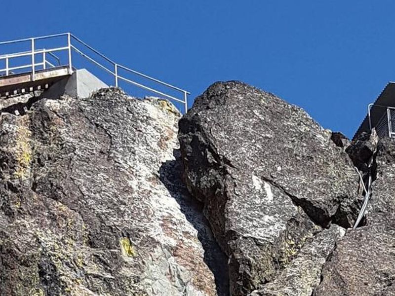
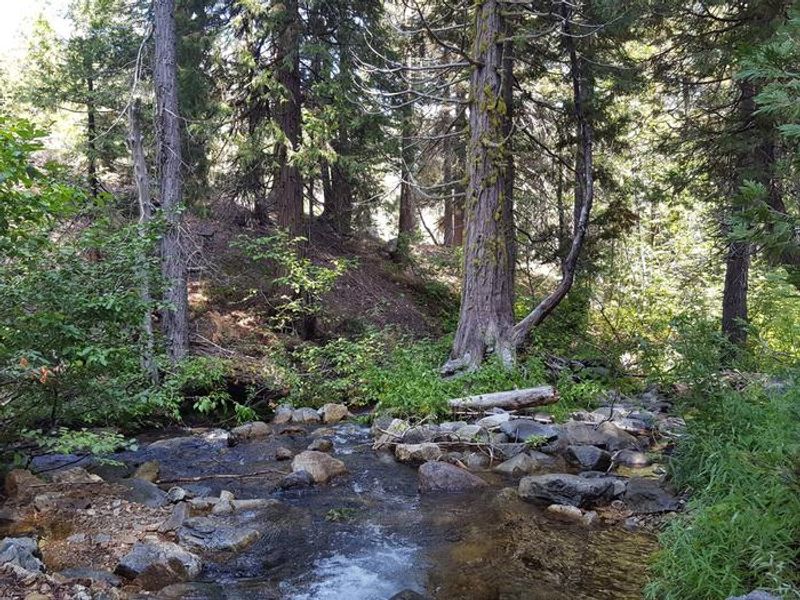
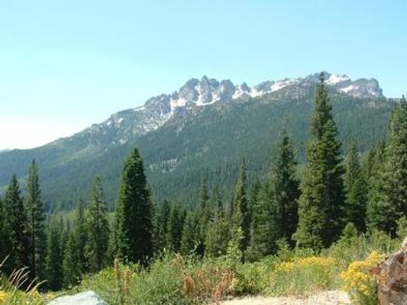
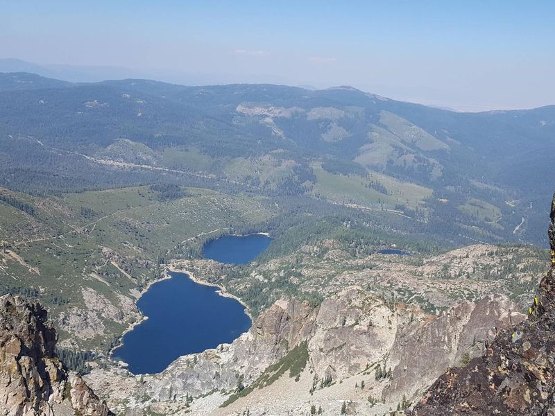
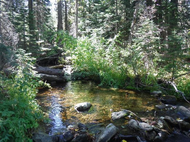
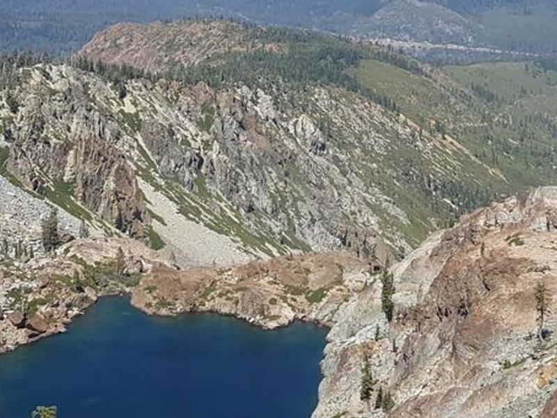
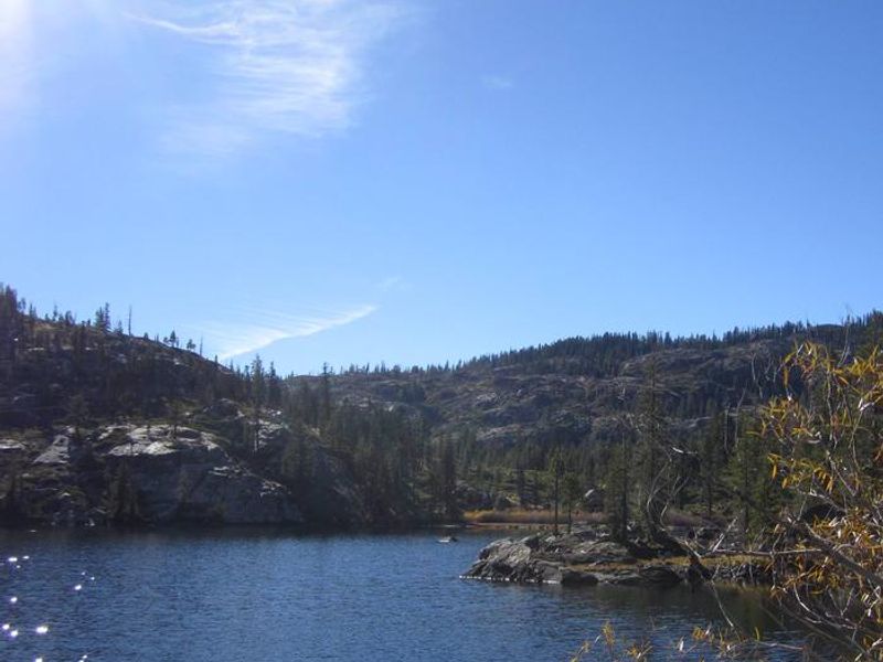
Berger Campground is a small, rustic Forest Service campground located in the Packer Lake area of Tahoe National Forest, near the base of the dramatic Sierra Buttes. Situated at 5,900 feet elevation along seasonal Packer Creek, the campground sits within stands of lodgepole pine, cedar, and fir trees. The 9 campsites are divided into Standard Nonelectric sites that can accommodate trailers up to 38 feet, and Tent Only sites with more limited vehicle access. Each campsite includes a picnic table and fire ring. Vault toilets are provided, but there is no potable water at this campground. Campers must bring their own drinking water or obtain it from nearby campgrounds in the area. The gravel driveways require back-in parking. The campground serves as an excellent base for exploring the Lakes Basin region. Packer Lake is a short distance away, and Lower Sardine Lake offers fishing for stocked rainbow and brook trout. The Pacific Crest Trail passes nearby, and over 30 miles of maintained trails branch out across the area for hiking, biking, and horseback riding. During late spring, the North Yuba River provides whitewater rafting opportunities.

Directions

From Highway 49 at Sierra City, drive 4.5 miles to Bassetts Station. Turn left on Gold Lake Highway and drive 0.5 mile to Packer Lake Road. Turn left and drive 2 miles to Berger Campground.

Amenities

Water No
Fires Allowed Yes
Toilets Yes
Dump Station No
Wifi No
Pets Allowed Yes
Showers No
Electric Hookups
Water Hookups
Sewer Hookups
Camp Store No
Price $18

Vehicle

Max RV Length 38ft
Max Trailer Length 38ft
Big Rig Friendly No
Pull Through Sites No

Contact

Phone +1 (530) 288-3231

Cell Service

AT&T None
Verizon None
T-Mobile None

Availability

Photos

Sierra Buttes Lookout, hike near campground
Berger Creek at Berger Campground
Sierra Buttes
View from Sierra Buttes, hike near Berger Campground
Berger Creek
View from Sierra Buttes, hike near Berger Campground
Packer Lake near campground

Community Posts

No posts yet. Be the first to share your experience!