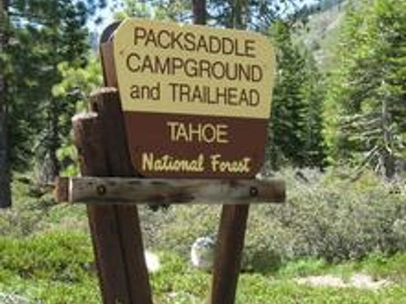
Packsaddle
Currently closed for the season. Tentative opening is June 1, 2026, with the season running through mid-October. Reservations available via Recreation.gov. Fire restrictions may be imposed during hot, dry conditions.
National Forest System Roads
Follow California Vehicle Code on National Forest System Roads
Fireworks and Explosives are always Prohibited
Fireworks and explosives (including explosive targets) are always prohibited on national forest lands. The prohibition of fireworks and exploding targets on national forest system lands is part of a set of permanent fire safety regulations in the Code of Federal Regulations (CFR), listed below.…
Downieville Downhill Closure Order
Closure of identified forest roads and trails for Downieville Downhill.
About
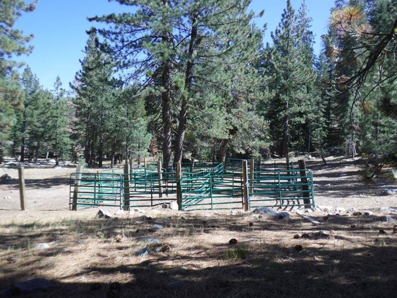
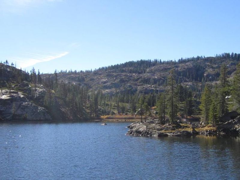
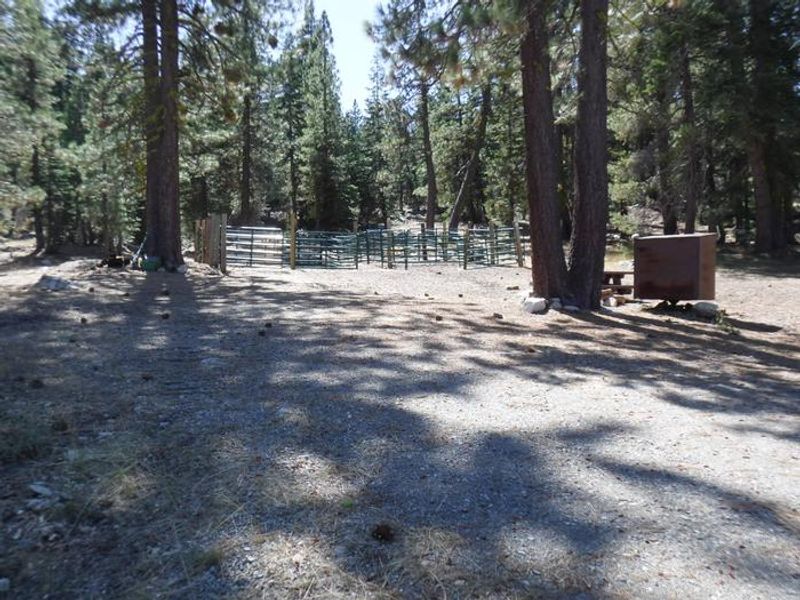
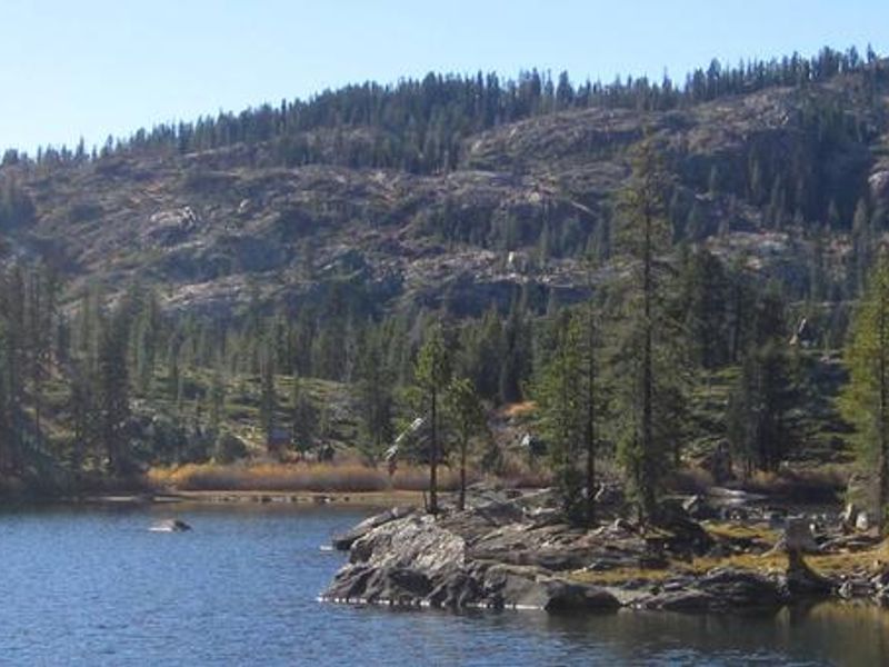
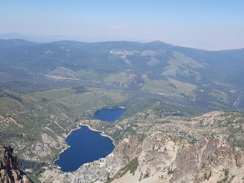
Packsaddle Campground is nestled in the Packer Lake area of Tahoe National Forest, surrounded by Jeffrey pine and fir trees with views of the glacially carved Sierra Buttes. The campground is divided into two loops: the first is more open, while the second sits on a forested hillside. Some sites overlook wildflower-dotted meadows, while others face a ravine with mountain peaks beyond. The campground offers 14 developed sites suitable for tents and trailers, each equipped with a picnic table and fire ring. Vault toilets and drinking water from a hand pump are provided. Equestrian campers will find corrals and space for stock trailers. No hookups or showers are available. Recreational opportunities abound in the Lakes Basin area. Packer Lake is less than a mile west, offering fishing and swimming. Sardine Lakes, three miles south, features boat rentals at Sardine Lakes Resort. Over 30 miles of trails branch out across the area, and the Pacific Crest Trail is accessible nearby. Anglers will find rainbow and brook trout in the lakes and streams throughout the basin.
Directions
From Highway 49 at Sierra City, drive 4.5 miles east to Bassett's Station. Turn left on Gold Lake Highway and continue for 0.5 miles to Packer Lake Road. Turn left and drive 2.5 miles to the campground.
Amenities
| Water | Yes |
| Fires Allowed | Yes |
| Toilets | Yes |
| Dump Station | — |
| Wifi | No |
| Pets Allowed | — |
| Showers | No |
| Electric Hookups | — |
| Water Hookups | — |
| Sewer Hookups | — |
| Camp Store | No |
| Price | $24 |
Vehicle
| Max RV Length | 100ft |
| Max Trailer Length | — |
| Big Rig Friendly | — |
| Pull Through Sites | No |
Contact
| Phone | +1 (530) 478-6253 |
Cell Service
| AT&T | None |
| Verizon | None |
| T-Mobile | None |
Availability
Photos
Community Posts
No posts yet. Be the first to share your experience!