Salmon Creek
Currently closed for the season. Tentative opening is June 1, 2026. The campground typically operates late May through late October. Reservations available through Recreation.gov.
Winter Storm Warning issued November 19 at 9:56AM PST until November 20 at 4:00AM PST by NWS Sacramento CA
* WHAT...Heavy snow above 4000 feet. Additional snow accumulations of 8 to 12 inches above 4000 feet, with up to 18 inches over highest peaks. A dusting to a few inches are possible as low as 3500 feet. Winds gusting as high as 40 mph. * WHERE...Northern Sierra above 4000 feet, including Highway 50, Interstate 80, State Route 4, State Route 108, Southern Cascades above 4000 feet. * WHEN...Until 4 AM PST Friday. * IMPACTS...Travel could be very difficult to impossible. The hazardous conditions will impact the evening commutes. Gusty winds could bring down tree branches and significant reductions in visibilities. * ADDITIONAL DETAILS...Snow levels around 4000-5500 feet, lowering briefly down to around 3500 feet early Friday morning. Heaviest snow is expected through the afternoon hours, with snowfall rates 1-2+ inches per hour.
Fireworks and Explosives are always Prohibited
Fireworks and explosives (including explosive targets) are always prohibited on national forest lands. The prohibition of fireworks and exploding targets on national forest system lands is part of a set of permanent fire safety regulations in the Code of Federal Regulations (CFR), listed below.…
PRESCRIBED FIRE NOTICE: Camp Pile Burn
Name of project: Camp Unit TLegal location and landmark of burn: T19N R8E Sec22Type of burn: Hand PilesProject potential acreage: 70Ignition dates: 11/19/26Duration of ignition, given in days: 1Estimated direction of smoke travel: variableCommunities or Smoke Sensitive Areas that could be…
About
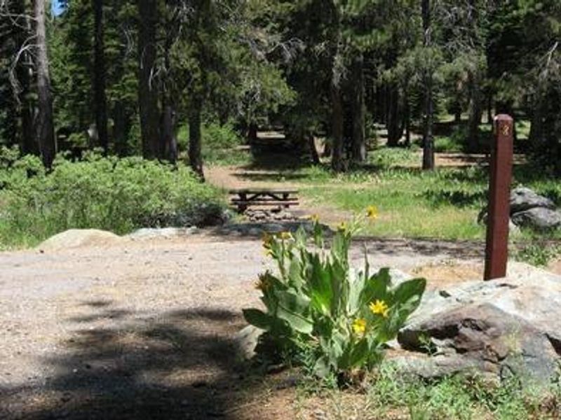
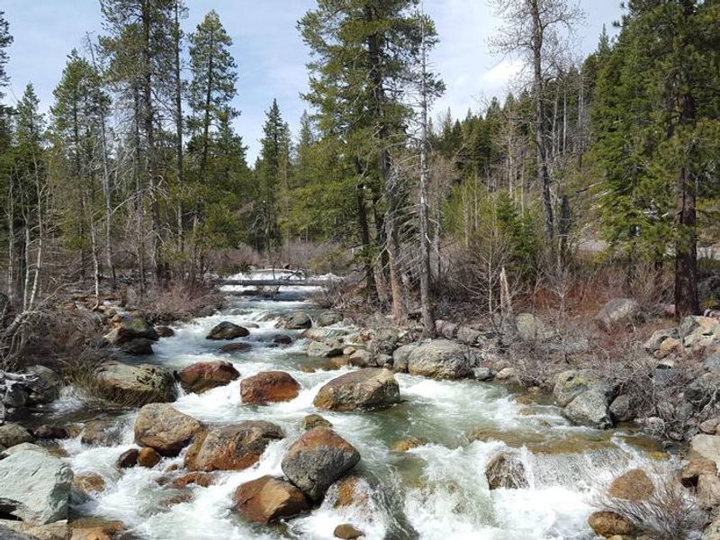
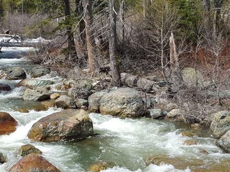
Salmon Creek Campground stretches along the banks of Salmon Creek in the North Yuba River area of Tahoe National Forest, surrounded by lodgepole pine, cottonwood, and cedar trees. The campground has 31 sites, each with a picnic table and fire ring, plus vault toilets and drinking water. Seven sites can accommodate trailers, though the campground is best suited for tent camping and smaller rigs. The surrounding Lakes Basin area offers outstanding recreation opportunities. Boating, fishing, and swimming are available at Sardine Lakes about a mile west, where Sardine Lakes Resort offers boat rentals, lodging, and a restaurant. Over 30 miles of maintained trails branch across the area for hiking, mountain biking, and motorcycle singletrack. The Pacific Crest Trail can be accessed at multiple points nearby, and anglers find rainbow and brook trout in lakes and streams throughout the basin. Gold panning is permitted in the area, and the historic towns of Sierra City and Downieville offer restaurants, shops, and visitor information. A developed boat ramp at Gold Lake accommodates larger boats.
Directions
From Highway 49 at Sierra City, drive 4.5 miles to Bassetts Station. Turn left on Gold Lake Highway and continue 2 miles to the campground on the left, just past Packer Lake Road. From Sierraville, travel south on Highway 49 for 18 miles to Bassetts, turn right, and continue 2 miles to the campground.
Amenities
| Water | Yes |
| Fires Allowed | Yes |
| Toilets | Yes |
| Dump Station | — |
| Wifi | No |
| Pets Allowed | — |
| Showers | No |
| Electric Hookups | — |
| Water Hookups | — |
| Sewer Hookups | — |
| Camp Store | No |
| Price | $24 |
Vehicle
| Max RV Length | 45ft |
| Max Trailer Length | — |
| Big Rig Friendly | No |
| Pull Through Sites | No |
Contact
| Phone | +1 (530) 478-6253 |
Cell Service
| AT&T | None |
| Verizon | None |
| T-Mobile | None |
Availability
Photos
Community Posts
No posts yet. Be the first to share your experience!