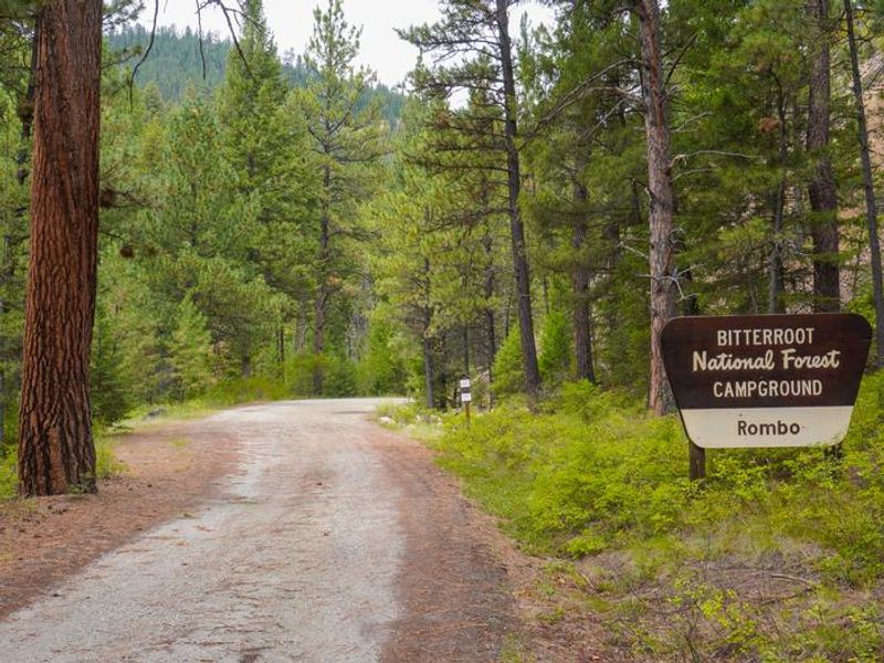
Rombo
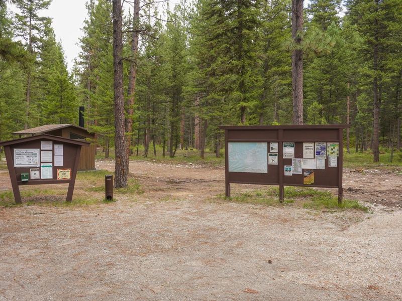
Currently closed for the season. Opens May 22, 2026. Some sites are reservable via Recreation.gov; others are first-come, first-served. Off-season camping is permitted but water is not available. Food storage order in effect March 1 through December 1.
Northern Region Camping & Target Restrictions, Pallet Prohibition
This order defines the maximum length of occupation at a single location or cumulatively at any number of locations within a calendar year, within the states of Montana, North Dakota, South Dakota, and Idaho
Weed Free Forage & Mulch Products Order for the Northern Region
It is illegal to possess, store or transport straw, hay, grain, seed or other forage or mulch products on Forest Service lands without documentation that the product is certified as “weed free” by a state certification process that meets or exceeds the North American Weed Free Forage standards.
Northern and Intermountain Regions Frank Church River of No Return Wilderness
This order implements visitor use requirements for activities within the Restricted Area and on the Restricted Trails, as required by the Frank Church-River of No Return Wilderness Area Management Plan (November 2003).
About
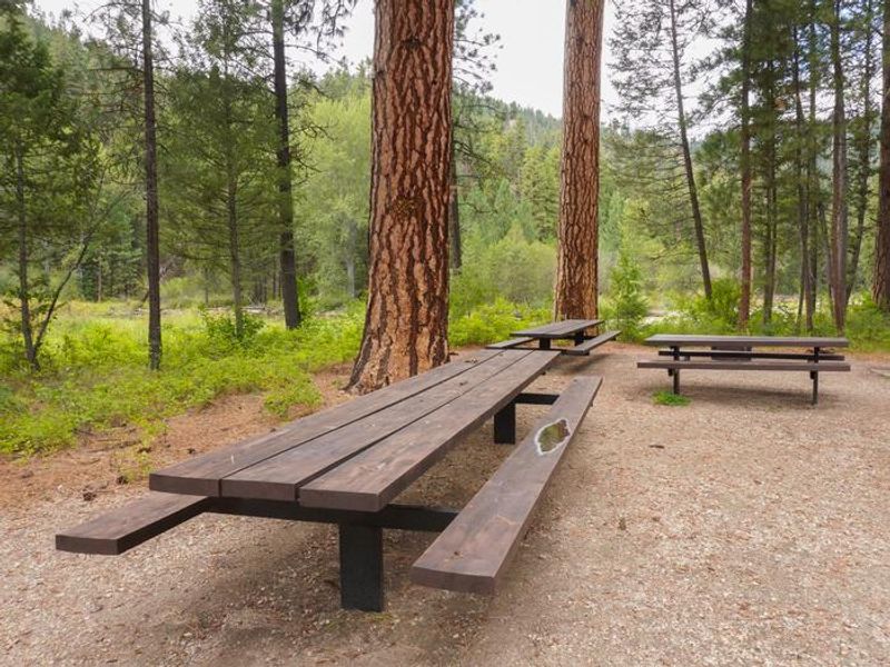
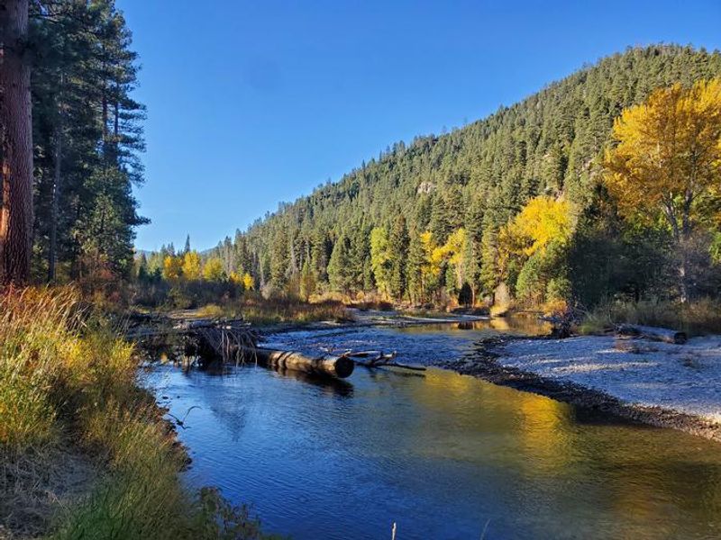
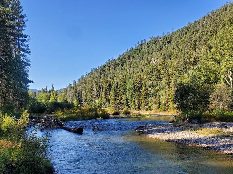
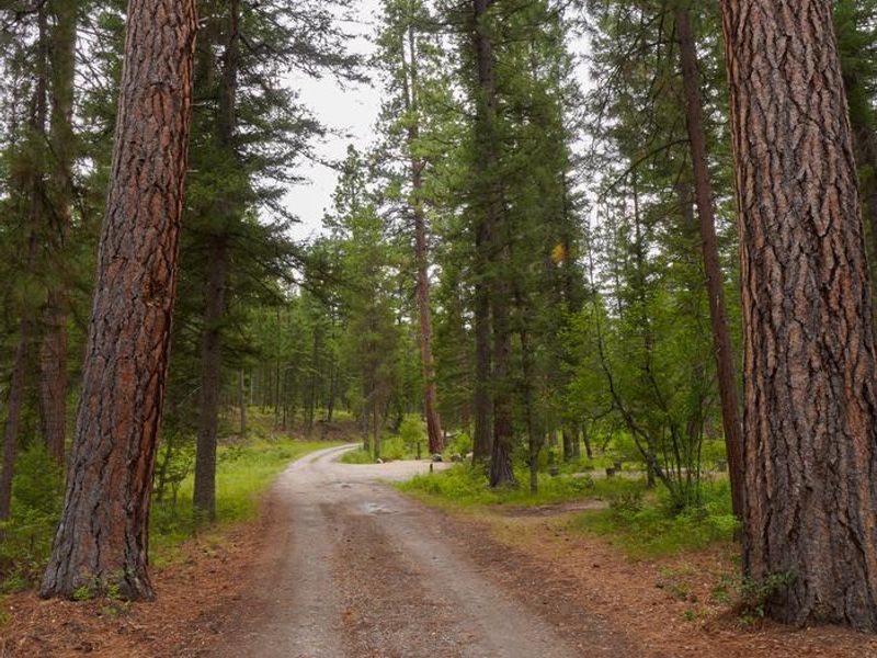
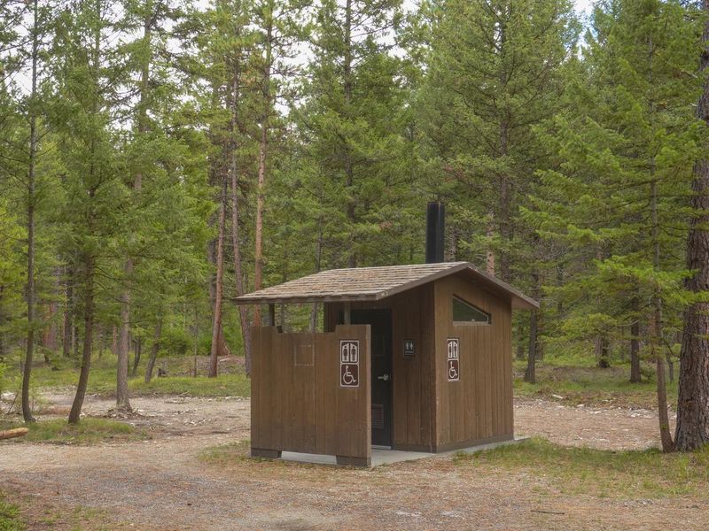
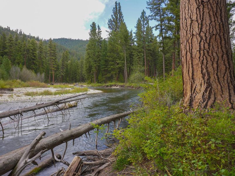
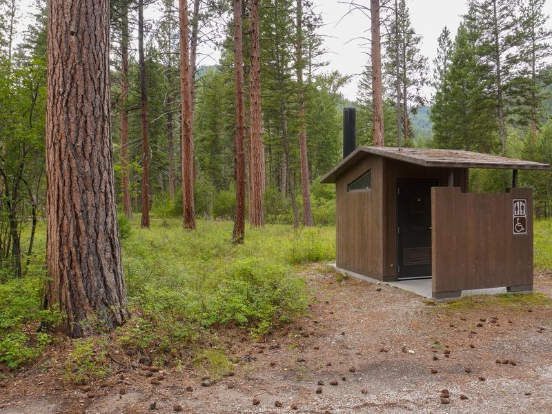
Rombo Campground is located in a scenic area along the West Fork Bitterroot River in the mountains of southwestern Montana. Large yellow-barked ponderosa pines tower above many of the campsites, with fir, aspen, and lodgepole pine providing pleasant shade throughout. The campground sits at an elevation of 4,600 feet and offers 16 sites for tent and RV camping, four of which are ADA-accessible. Each site accommodates up to 10 people and two vehicles, with picnic tables, fire rings, and grills provided. Vault toilets and drinking water from hand pumps are available. Fly fishing and wading in the West Fork Bitterroot River are the primary draws, with mountain whitefish and various trout species present. During high water season, kayaking and rafting are possible. Painted Rocks Lake lies five miles south, offering swimming, boating, and additional fishing opportunities. The historic Alta Ranger Station, the first Forest Service ranger station in the United States built in 1899, is a short distance away. Wildlife in the area includes bald eagles, mule and white-tailed deer, moose, elk, bighorn sheep, and numerous songbirds. There is no cell phone coverage at the campground. Food storage requirements are in effect March 1 through December 1. The nearest services are in Conner (16 miles) with a post office and general store, or Darby (24 miles) for full services including fuel and lodging.
Directions
From Darby, Montana, drive south on Highway 93 approximately 4 miles to Forest Road 473. Turn right toward Painted Rocks State Park and continue approximately 18 miles to the campground on the right.
Amenities
| Water | Yes |
| Fires Allowed | Yes |
| Toilets | Yes |
| Dump Station | No |
| Wifi | No |
| Pets Allowed | Yes |
| Showers | No |
| Electric Hookups | — |
| Water Hookups | — |
| Sewer Hookups | — |
| Camp Store | No |
| Price | $15 |
Vehicle
| Max RV Length | 65ft |
| Max Trailer Length | 47ft |
| Big Rig Friendly | — |
| Pull Through Sites | No |
Contact
| Phone | +1 (406) 821-3269 |
Cell Service
| AT&T | None |
| Verizon | None |
| T-Mobile | None |
Availability
Photos


Community Posts
No posts yet. Be the first to share your experience!