Medicine Point Lookout
Closed for the season. Opens in July and operates through September. Reservations available via Recreation.gov. Contact the Darby-Sula Ranger District at least one week before arrival to obtain the door combination code.
Northern Region Camping & Target Restrictions, Pallet Prohibition
This order defines the maximum length of occupation at a single location or cumulatively at any number of locations within a calendar year, within the states of Montana, North Dakota, South Dakota, and Idaho
Weed Free Forage & Mulch Products Order for the Northern Region
It is illegal to possess, store or transport straw, hay, grain, seed or other forage or mulch products on Forest Service lands without documentation that the product is certified as “weed free” by a state certification process that meets or exceeds the North American Weed Free Forage standards.
Northern and Intermountain Regions Frank Church River of No Return Wilderness
This order implements visitor use requirements for activities within the Restricted Area and on the Restricted Trails, as required by the Frank Church-River of No Return Wilderness Area Management Plan (November 2003).
About
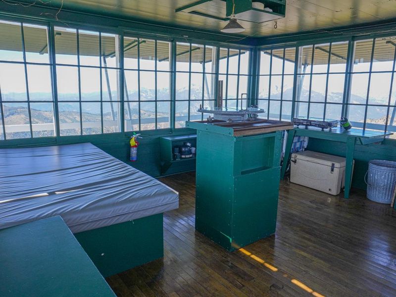
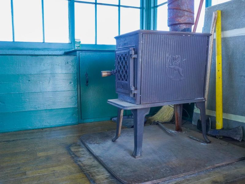
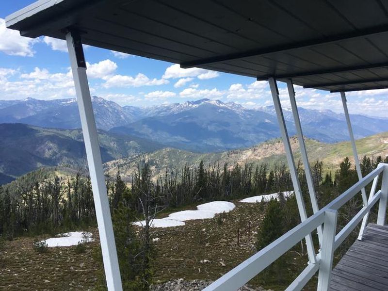
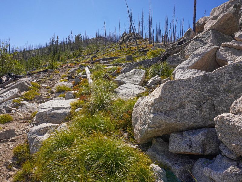
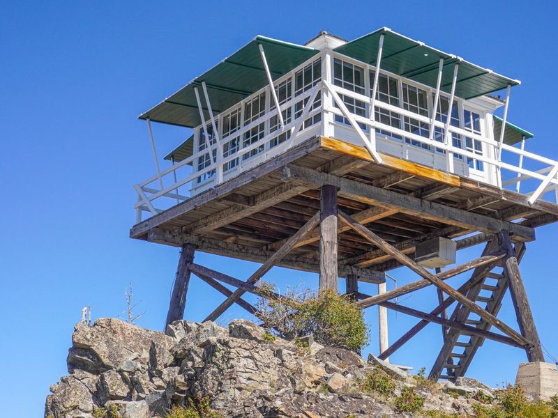
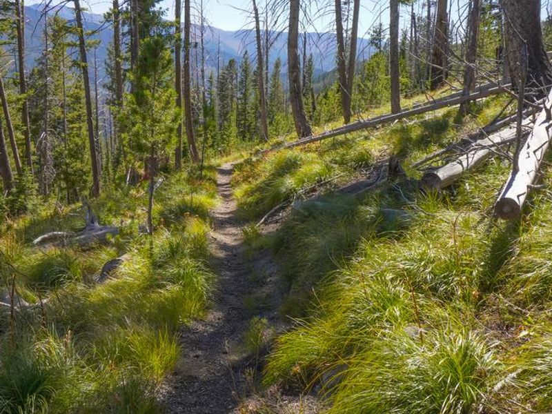
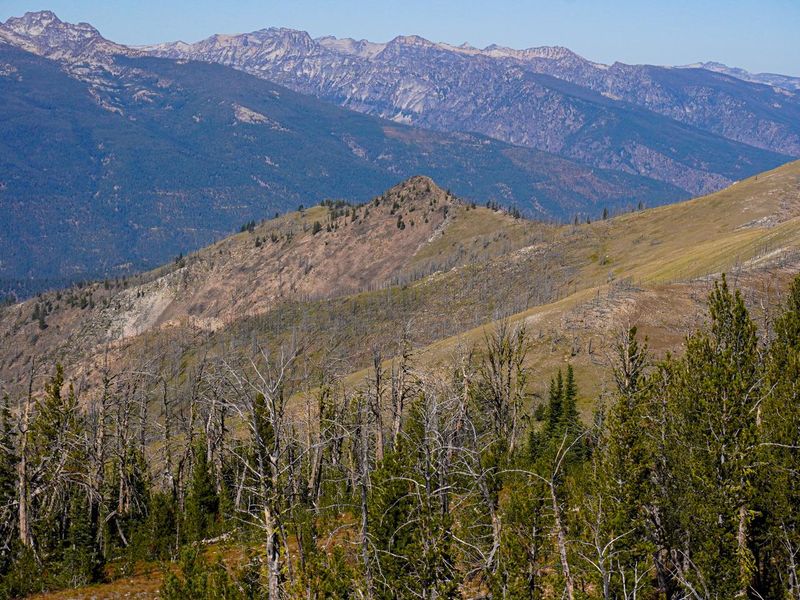
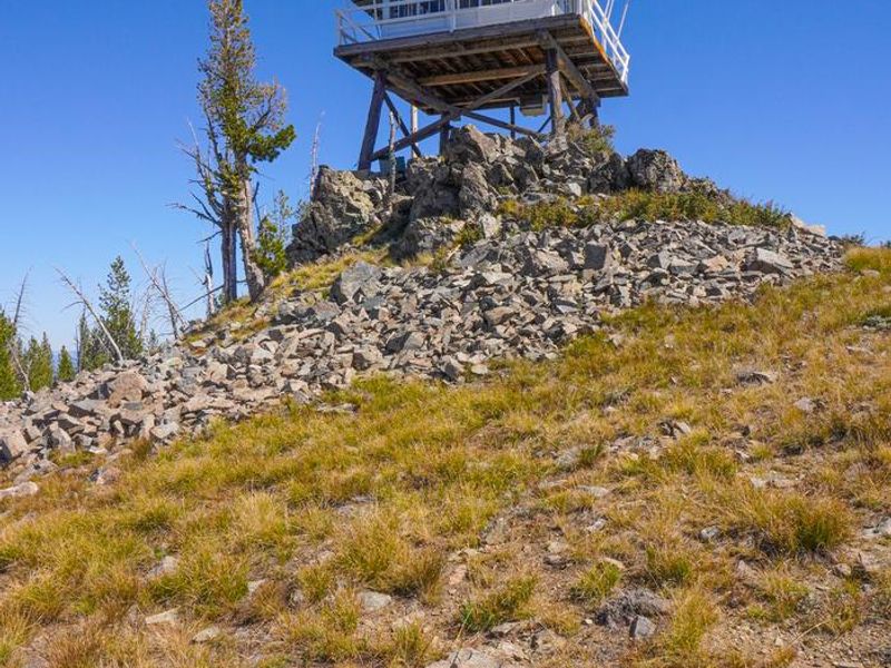
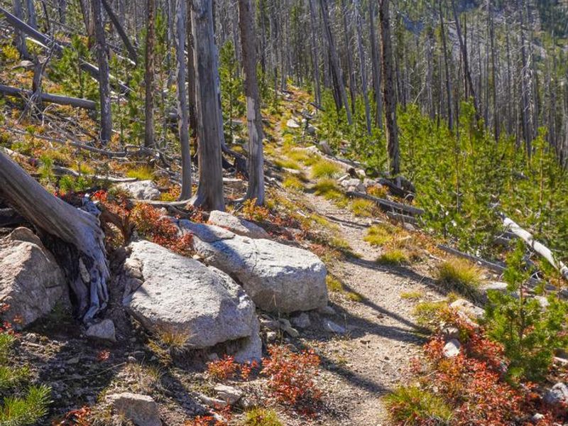
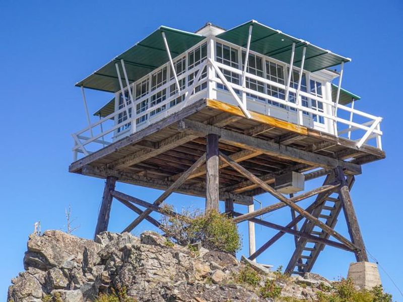
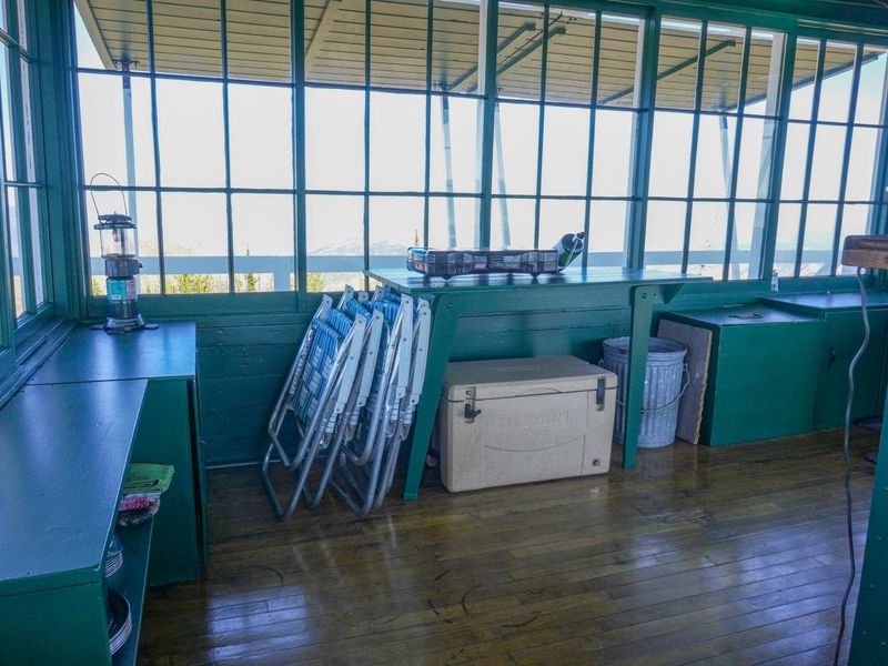
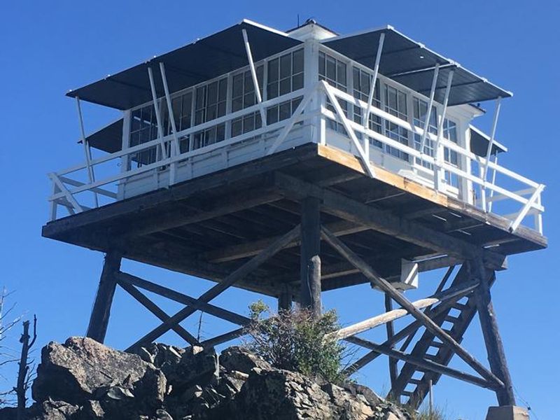
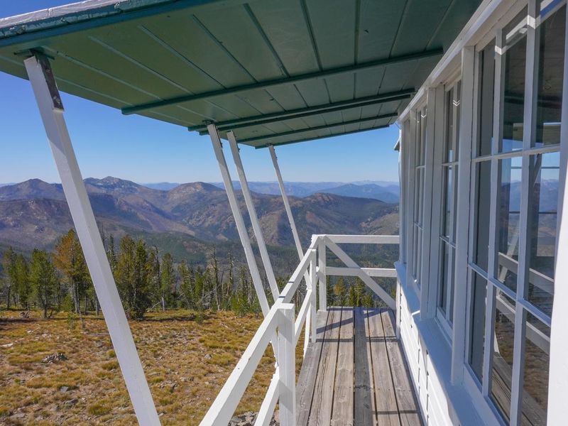
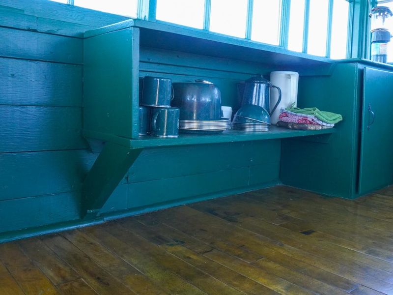
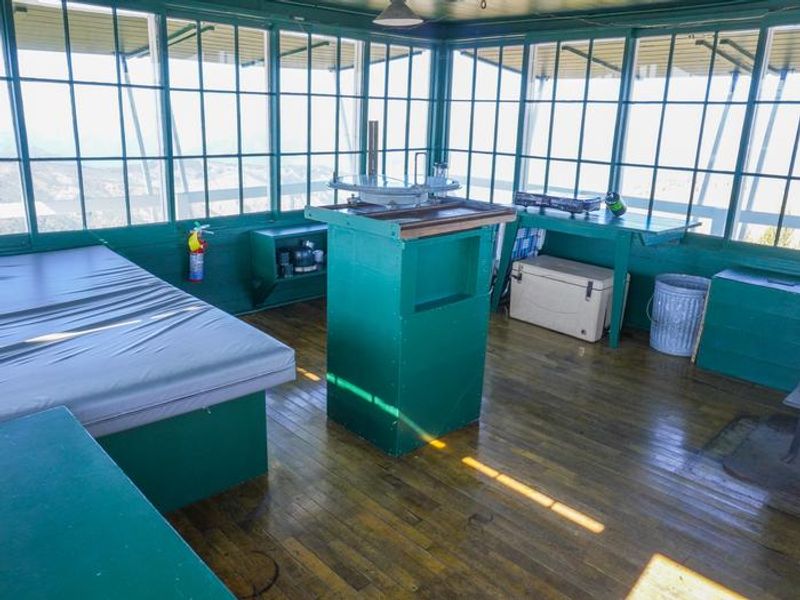
Medicine Point Lookout is a historic L4 fire lookout tower that has been carefully restored to reflect the look and feel of a 1940s-era lookout station. Perched at 8,409 feet elevation on Medicine Point west of Sula, Montana, the tower offers spectacular 360-degree views of the Bitterroot Mountains, including Trapper Peak, the highest point in the Bitterroot Range. On clear nights, the lights of Hamilton are visible to the east. The single-room cabin measures 14x14 feet with a 30-inch catwalk around the outside, sitting atop a 10-foot tower. A bed platform accommodates two people, with floor space for two additional guests. The lookout is equipped with a woodstove for heat, a two-burner propane camp stove, Coleman lantern, and basic cooking utensils. Guests must bring their own water, propane canisters, bedding, toilet paper, and garbage bags. Access requires a challenging 4-mile hike from the Medicine Point Trailhead, gaining approximately 2,000 feet of elevation on a trail rated difficult due to steep sections. An extensive trail system in the area offers opportunities for hiking, backpacking, and horseback riding, with hitching rails available at the base of the tower for equestrian visitors.
Directions
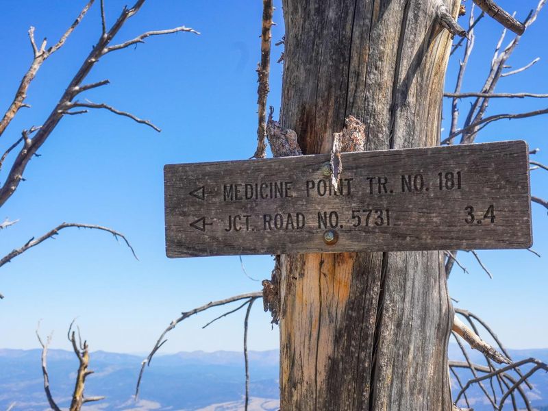
From Sula, MT, head northwest 5 miles on Highway 93. Turn west (left) onto Laird Creek Road (Forest Road 370) and continue approximately 4 miles to Bear Creek Saddle. At Bear Creek Saddle, turn north onto Forest Road 5731 and drive approximately 2 miles to the Medicine Point Trailhead. The hike to the lookout is approximately 4 miles on a difficult trail with steep sections.
Amenities
| Water | No |
| Fires Allowed | — |
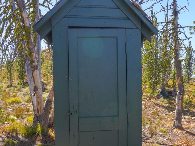
| Toilets | Yes |
| Dump Station | No |
| Wifi | No |
| Pets Allowed | — |
| Showers | No |
| Electric Hookups | — |
| Water Hookups | — |
| Sewer Hookups | — |
| Camp Store | No |
| Price | $30 |
Vehicle
| Max RV Length | — |
| Max Trailer Length | — |
| Big Rig Friendly | No |
| Pull Through Sites | No |
Contact
| Phone | +1 (406) 821-3913 |
Cell Service
| AT&T | None |
| Verizon | Yes |
| T-Mobile | None |
Availability
Photos


Community Posts
No posts yet. Be the first to share your experience!