Alta Campground
Currently closed for the season due to snow. Reopens around May 22, 2026. Some sites are reservable via Recreation.gov; others are first-come, first-served. Food storage order in effect March 1 through December 1.
Northern Region Camping & Target Restrictions, Pallet Prohibition
This order defines the maximum length of occupation at a single location or cumulatively at any number of locations within a calendar year, within the states of Montana, North Dakota, South Dakota, and Idaho
Weed Free Forage & Mulch Products Order for the Northern Region
It is illegal to possess, store or transport straw, hay, grain, seed or other forage or mulch products on Forest Service lands without documentation that the product is certified as “weed free” by a state certification process that meets or exceeds the North American Weed Free Forage standards.
Northern and Intermountain Regions Frank Church River of No Return Wilderness
This order implements visitor use requirements for activities within the Restricted Area and on the Restricted Trails, as required by the Frank Church-River of No Return Wilderness Area Management Plan (November 2003).
About
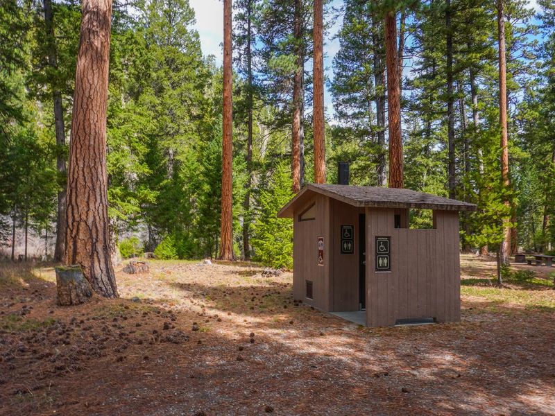
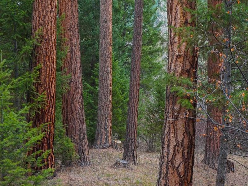
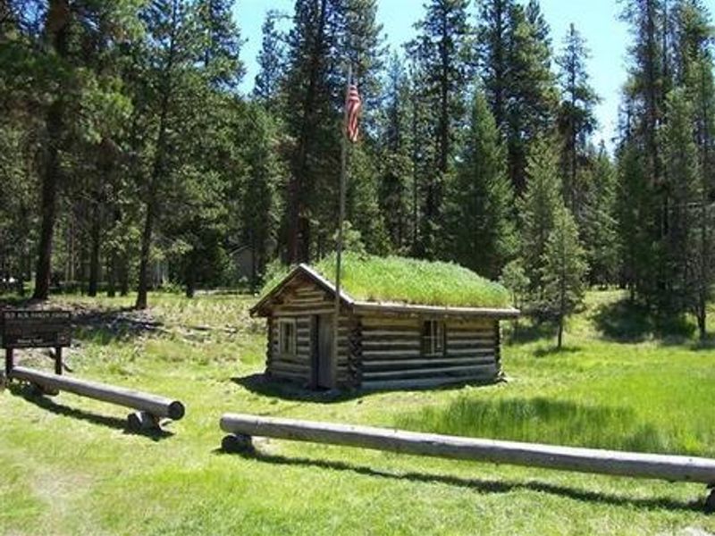
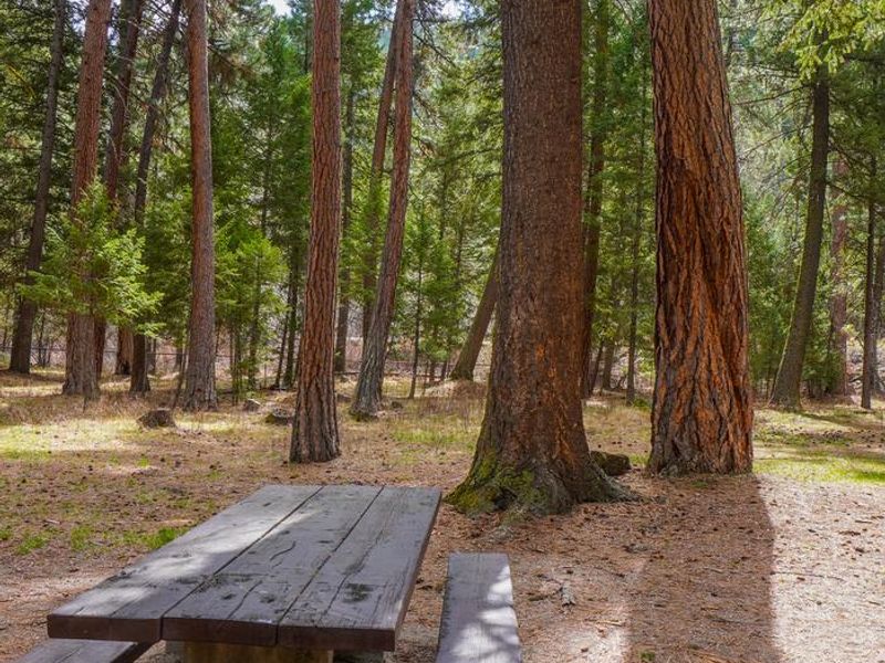
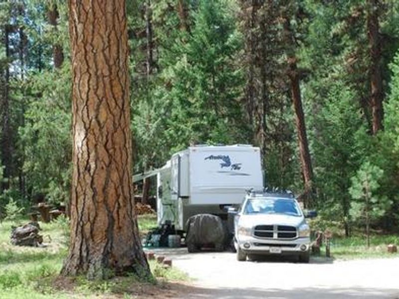
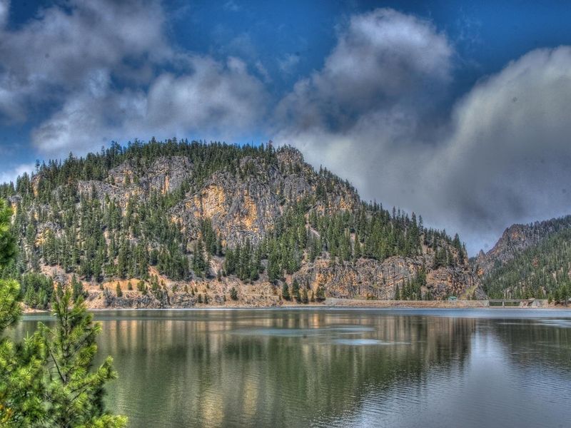
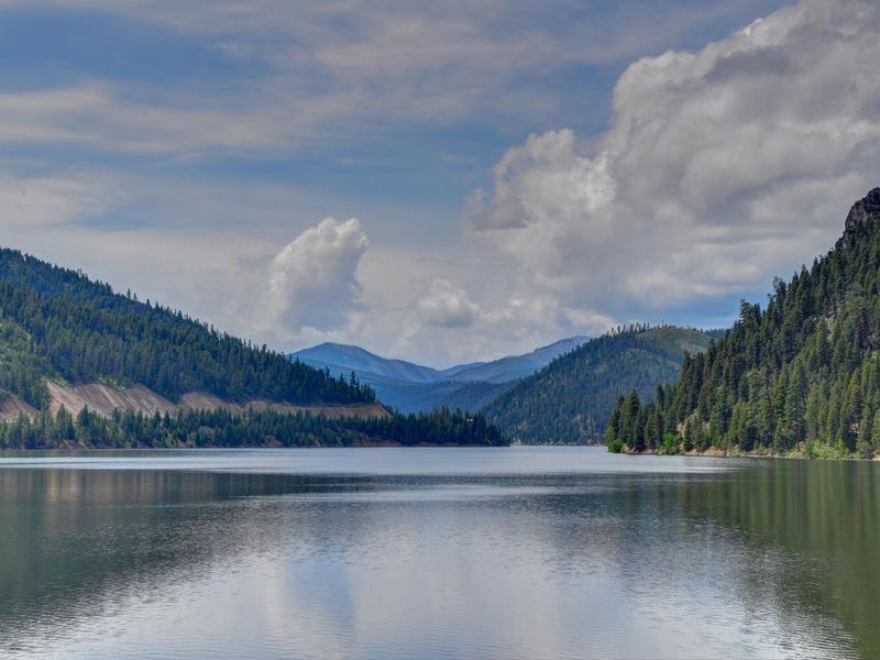
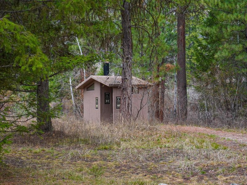
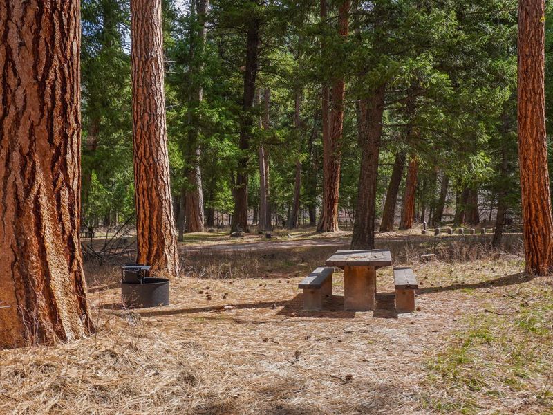
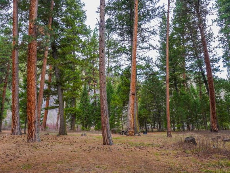
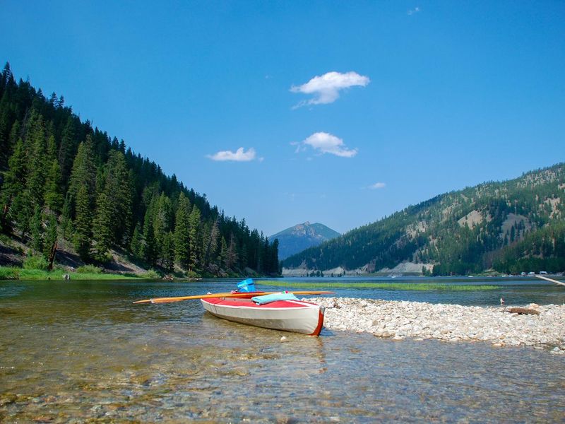
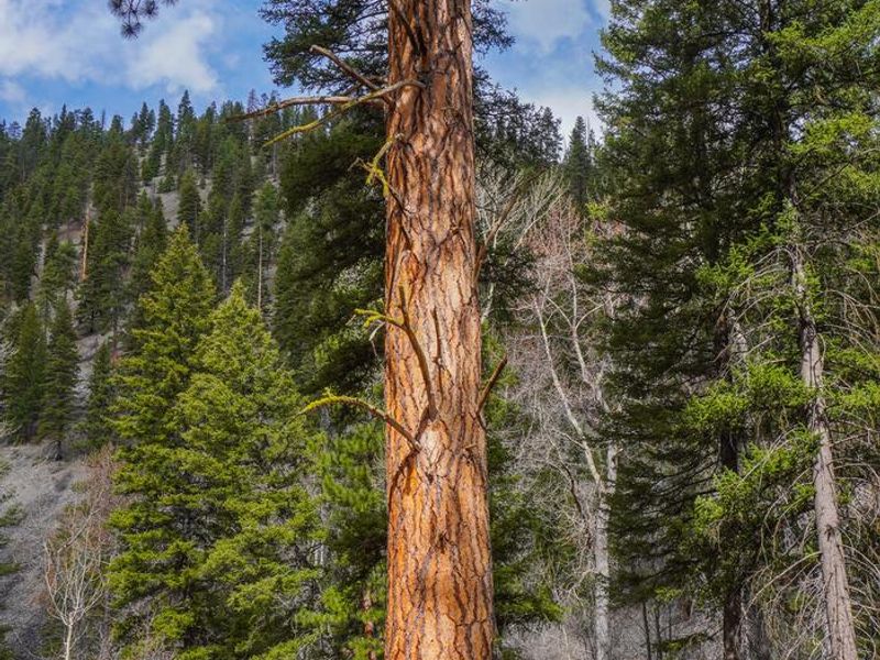
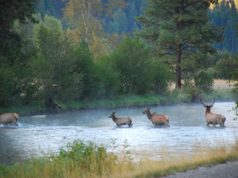
Alta Campground occupies a scenic riverside location in the heart of Montana's Bitterroot National Forest, where the West Fork of the Bitterroot River flows past campsites shaded by large ponderosa pines. The 14 sites accommodate both tents and RVs up to 30 feet, with three sites designated ADA accessible. Each site includes a picnic table and fire ring with grill. Vault toilets and drinking water are available throughout the campground during the operating season. The campground serves as an excellent base for exploring the surrounding wilderness. Fly fishing and wading in the Bitterroot River are the primary draws, though the nearby Painted Rocks Lake offers swimming, boating, and additional angling opportunities about five miles north. Hiking trails lead to several mountain peaks including Lookout, Razorback, and Thunder Mountains, while the Alta Pine interpretive trail provides an easy walk. The historic Alta Ranger Station, the first Forest Service ranger station in the United States built in 1899, sits just minutes from camp. Horse Creek natural hot springs can be reached via an 18-mile gravel road to the south. Wildlife in the area includes bald eagles, mule and white-tailed deer, moose, elk, and bighorn sheep.
Directions
From Darby, Montana, drive south on Highway 93 for about four miles. Turn right onto West Fork Road (Road #473) toward Painted Rocks State Park. Continue southwest past Painted Rocks Lake for approximately 29 miles to the campground on the right.
Amenities
| Water | Yes |
| Fires Allowed | Yes |
| Toilets | Yes |
| Dump Station | — |
| Wifi | No |
| Pets Allowed | Yes |
| Showers | No |
| Electric Hookups | — |
| Water Hookups | — |
| Sewer Hookups | — |
| Camp Store | No |
| Price | $15 |
Vehicle
| Max RV Length | 60ft |
| Max Trailer Length | 60ft |
| Big Rig Friendly | No |
| Pull Through Sites | No |
Contact
| Phone | +1 (406) 821-3269 |
Cell Service
| AT&T | None |
| Verizon | None |
| T-Mobile | None |
Availability
Photos


Community Posts
No posts yet. Be the first to share your experience!