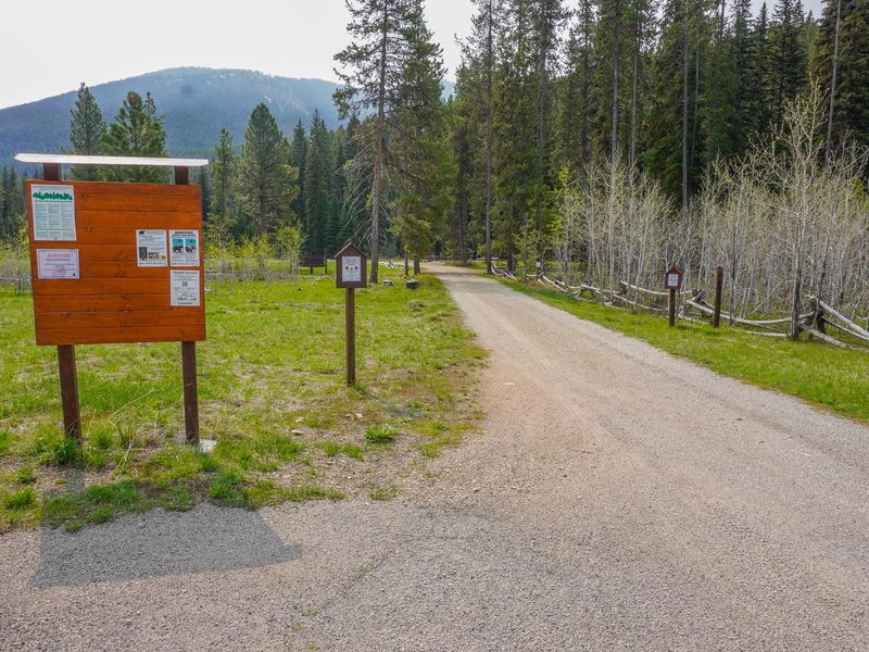
Fales Flat Campground
Closed for the season. Opens May 25 and operates through October. Group sites are reservable via Recreation.gov; individual and equestrian sites are first-come, first-served. Bear-resistant food storage required March 1 through December 31.
Northern Region Camping & Target Restrictions, Pallet Prohibition
This order defines the maximum length of occupation at a single location or cumulatively at any number of locations within a calendar year, within the states of Montana, North Dakota, South Dakota, and Idaho
Weed Free Forage & Mulch Products Order for the Northern Region
It is illegal to possess, store or transport straw, hay, grain, seed or other forage or mulch products on Forest Service lands without documentation that the product is certified as “weed free” by a state certification process that meets or exceeds the North American Weed Free Forage standards.
Northern and Intermountain Regions Frank Church River of No Return Wilderness
This order implements visitor use requirements for activities within the Restricted Area and on the Restricted Trails, as required by the Frank Church-River of No Return Wilderness Area Management Plan (November 2003).
About
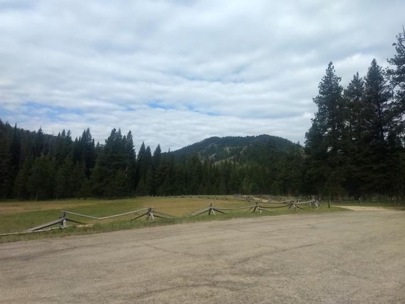
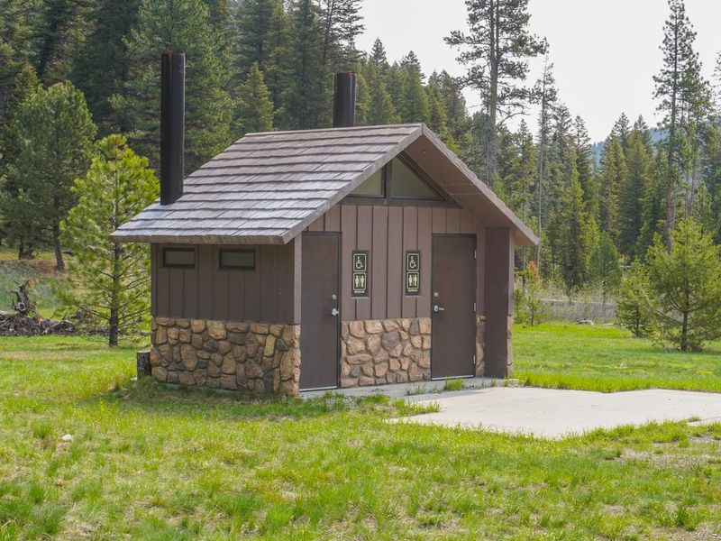
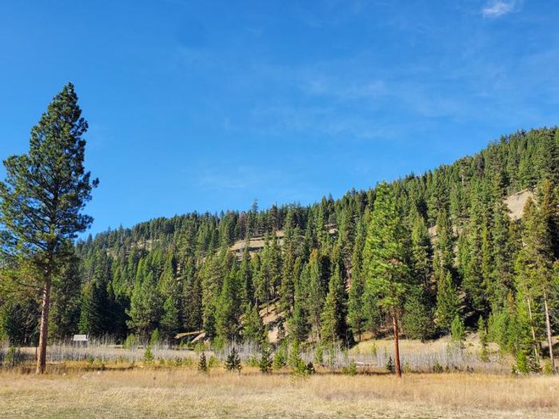
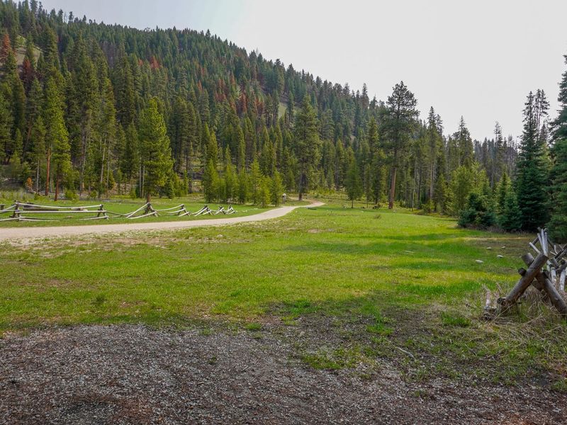
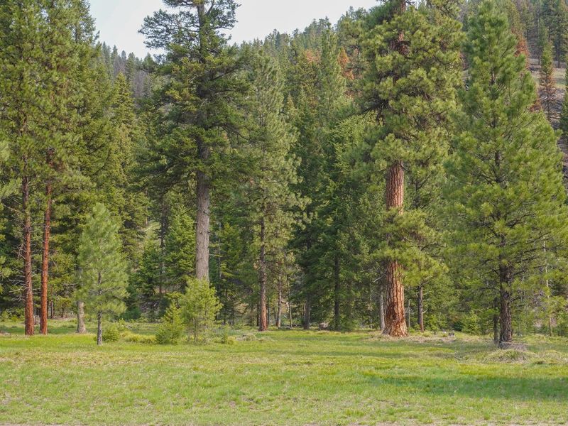
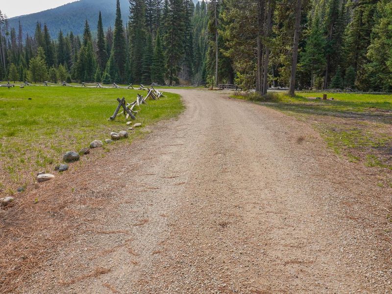
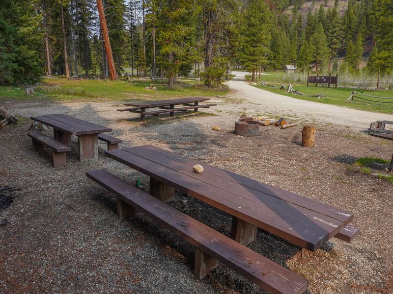
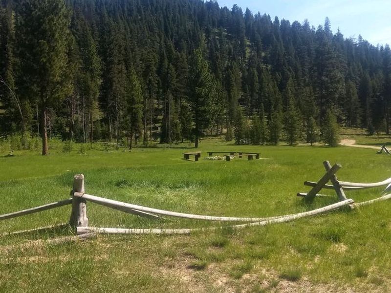
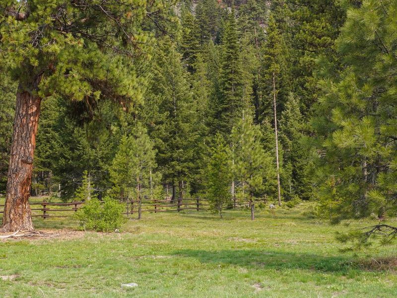
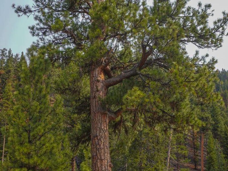
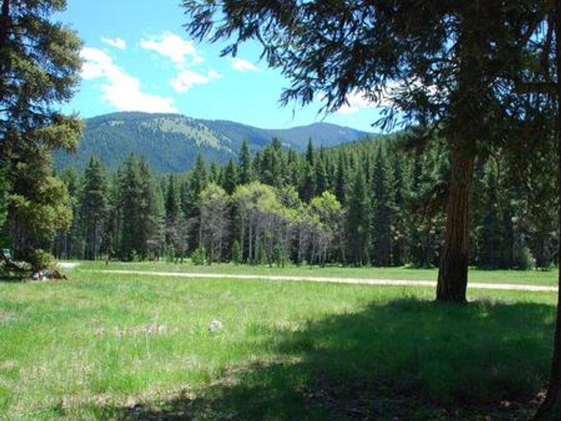
Fales Flat Campground sits in a spacious meadow at the base of Nez Perce Pass in the Bitterroot National Forest. The area holds historical significance as a travel route used by the Nez Perce Nimi'ipuu tribe on journeys to buffalo country in eastern Montana. The Nez Perce Fork of the Bitterroot River runs alongside the campground, offering fly fishing and wading opportunities. The campground features a reservable group site with four large picnic tables, one large fire ring, and vault toilets. Individual and equestrian sites operate first-come, first-served. Three trails originate near the campground: the Watchtower Trail and Sheephead Creek Trail access the Selway-Bitterroot Wilderness and can be hiked as a loop, while a steep 2-mile trail leads to the historic Bare Cone Lookout. No potable water is available; campers must bring their own supply. Trash must be packed out. Bear-resistant food storage is required March 1 through December 31. No cell phone coverage is available. The campground is about 23 miles from the town of Conner.
Directions
From Darby, MT travel south 4.3 miles on Highway 93, turn south on the West Fork Road and proceed for approximately 14.3 miles. Turn west (right) on Forest Road 468 (Nez Perce Road) and travel for approximately 12 miles to the campground.
Location
Amenities
| Water | No |
| Fires Allowed | Yes |
| Toilets | Yes |
| Dump Station | No |
| Wifi | No |
| Pets Allowed | Yes |
| Showers | No |
| Electric Hookups | — |
| Water Hookups | — |
| Sewer Hookups | — |
| Camp Store | No |
| Price | $30 |
Vehicle
| Max RV Length | 50ft |
| Max Trailer Length | 22ft |
| Big Rig Friendly | — |
| Pull Through Sites | No |
Contact
| Phone | +1 (406) 821-3269 |
Cell Service
| AT&T | None |
| Verizon | None |
| T-Mobile | None |
Availability
Photos

Community Posts
No posts yet. Be the first to share your experience!