Ripplebrook
The campground is currently closed for the season. Based on previous years, opening is expected around late May. The campground sustained damage from the 2020 Riverside Fire; visitors should exercise caution around burned trees, eroded slopes, and potential mudslides.
Alcohol Prohibitions
This Order describes acts that are prohibited upon lands, roads and trails within the National Forest System administered by the Forest Service Pacific Northwest Region in regards to alcoholic beverages.
Aquatic Invasive Species
This Order prohibits 1) possessing, storing, or transporting any aquatic invasive animal species AND 2) prohibits possessing, storing, or transporting any aquatic or riparian invasive plant species - on National Forest System lands in the Pacific Northwest Region as specified in the Order.
Restrictions on Use of Forage and Mulch Products
This Order prohibits unloading, storing, or using any straw, hay, grain, seed, or other forage or mulch products that are not state-certified weed free on the National Forest System lands, roads or trails in any Closure Area as specific in the Order. Some examples of these include hay bales, hay…
About
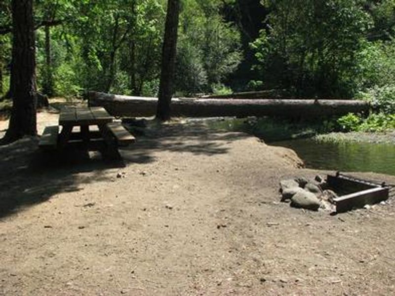
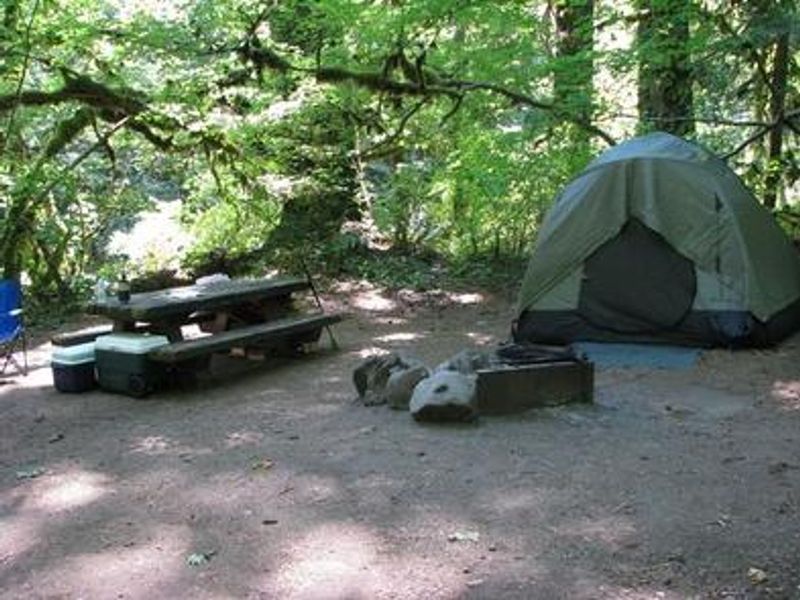
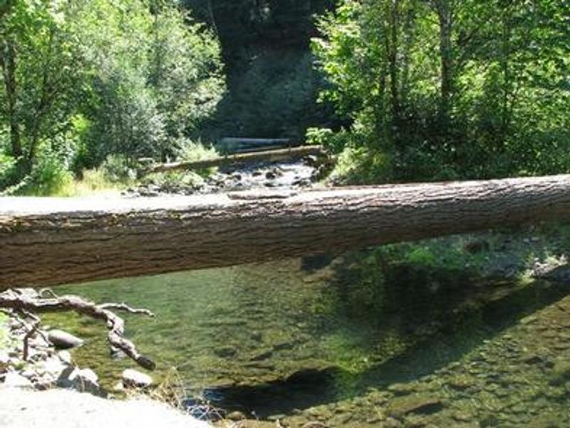
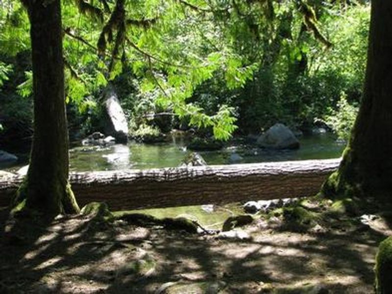
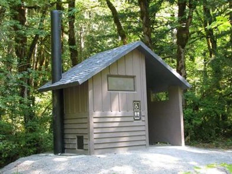
Ripplebrook Campground occupies a scenic location along the Oak Grove Fork of the Clackamas River within Mount Hood National Forest, about 26 miles east of Estacada on Highway 224. The campground sits at approximately 1,400 feet elevation in a dense forest of mature maple, cedar, and fir trees, with large shrubs and ferns providing privacy between campsites. The area provides habitat for bald eagles, northern spotted owls, and occasional peregrine falcons. The 13-site facility is designed primarily for tent camping, though tent trailers and RVs under 16 feet can be accommodated. Each site includes a picnic table and fire ring with grill. Vault toilets are available, but there is no potable water on site. The campground operates on a first-come-first-served basis with no advance reservations. Anglers will find excellent fishing for winter steelhead, spring chinook, and late summer kokanee salmon in the Clackamas River. Whitewater rafting is popular along the river as it bends through the Cascade Range. The Riverside National Recreation Trail offers 5 miles of hiking and mountain biking nearby. Bagby Hot Springs is located about 14 miles southwest for those seeking a relaxing soak.
Directions
From Estacada, travel east on Highway 224 for 26 miles to the campground, which is just past the Ripplebrook Camp Store.
Amenities
| Water | No |
| Fires Allowed | Yes |
| Toilets | Yes |
| Dump Station | No |
| Wifi | No |
| Pets Allowed | — |
| Showers | No |
| Electric Hookups | — |
| Water Hookups | — |
| Sewer Hookups | — |
| Camp Store | No |
| Price | $26 |
Vehicle
| Max RV Length | 24ft |
| Max Trailer Length | 24ft |
| Big Rig Friendly | No |
| Pull Through Sites | No |
Contact
| Phone | +1 (971) 333-4100 |
Cell Service
| AT&T | None |
| Verizon | None |
| T-Mobile | None |
Availability
Photos
Community Posts
No posts yet. Be the first to share your experience!