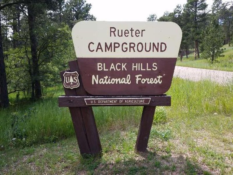
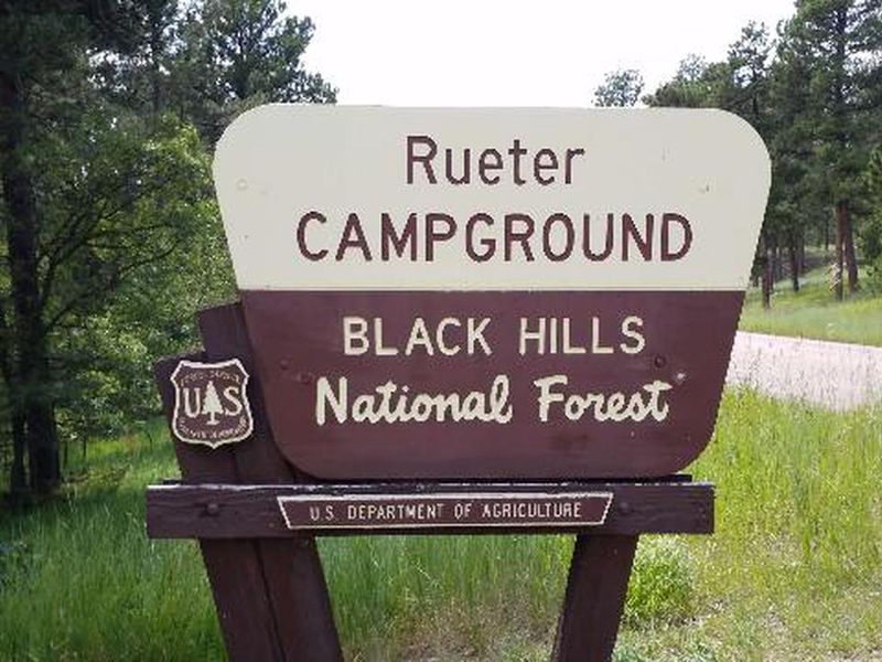
Reuter Campground
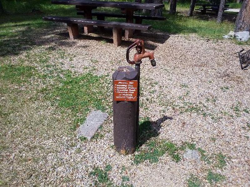
The campground is open. There is currently a temporary water outage; campers must bring all water needed for their visit, including drinking water.
From Recreation.gov
Our facility is experiencing a temporary water outage. Please bring all the water you’ll need for your visit, including drinking water.
Wheeled Vehicles in Wilderness
This order describes the prohibition of wheeled vehicles in all National Forest Wilderness Areas of the Rocky Mountain Region and any exceptions thereof.
Weed Free Forage Products
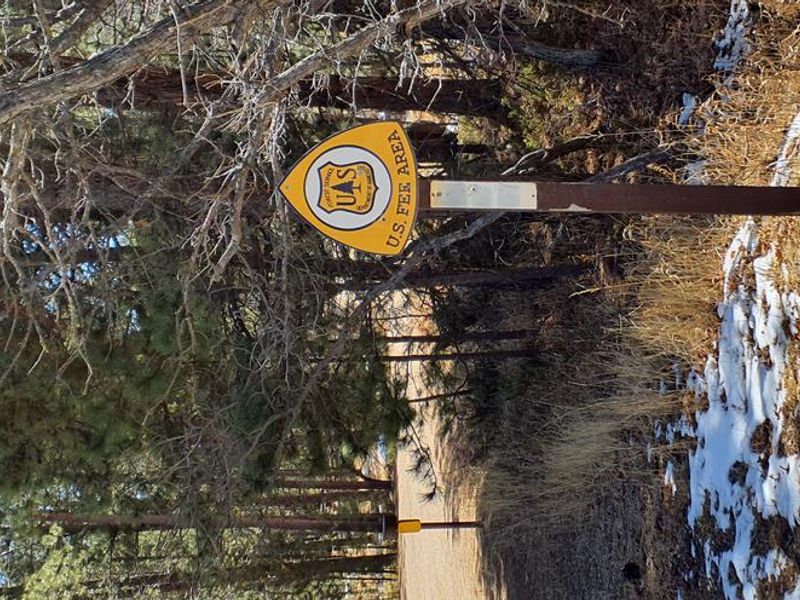
The purpose of this Order is to prevent the introduction or spread of noxious weeds.
About
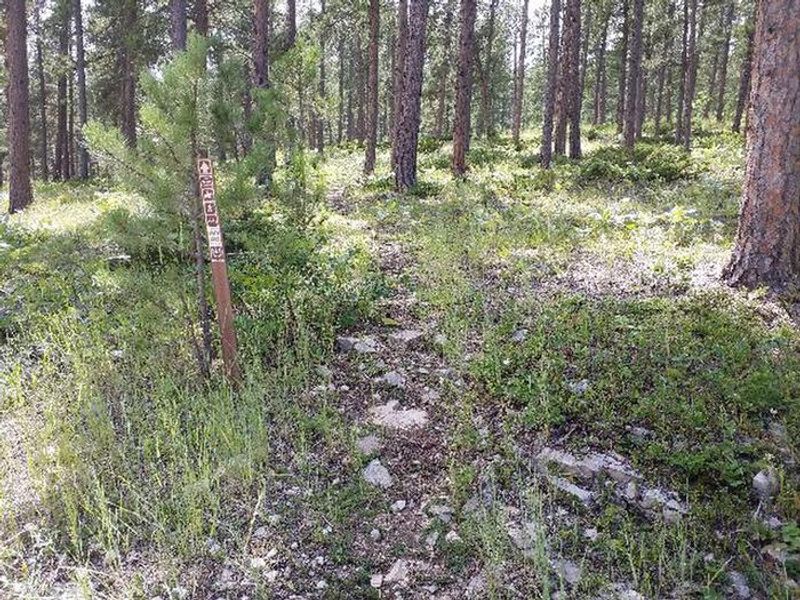
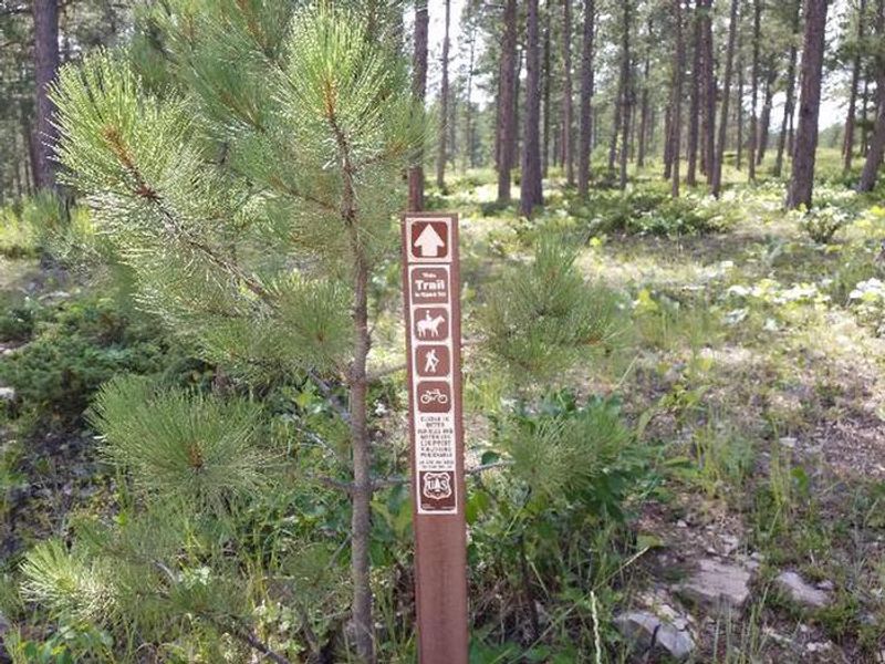
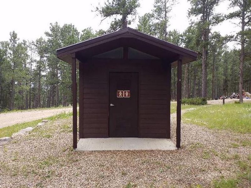
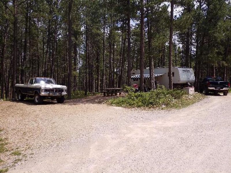
Reuter Campground is nestled on a hillside of Ponderosa pine and grassy understory in the Bearlodge Mountains of northeastern Wyoming's Black Hills National Forest. The campground is named after Emil Reuter, a German immigrant who arrived in the canyon in 1893 and spent the rest of his life prospecting in the area. The campground features 12 standard nonelectric sites suitable for tents, trailers, and RVs. Each site includes a picnic table and campfire ring, with two vault restrooms serving the campground. Reservations are available through Recreation.gov, though some sites may be available first-come, first-served. From the campground, visitors can access the Sundance Trail System via the Reuter Trailhead. The secluded trails weave through densely forested canyons and open ridges, with some ridge tops offering views of the Custer Expedition Route, Devils Tower, and the Twin Missouri Buttes. Warren Peak Lookout Tower, approximately 4 miles north on FSR 838, provides panoramic views extending into South Dakota and Wyoming.
Directions
From Sundance, WY: Travel west on I-90 for approximately 1 mile. Take Exit 185 and travel west on US Highway 14 for 1 mile. Turn north onto County Road 100 (FSR 838) and travel 3 miles to the campground.
Amenities
| Water | No |
| Fires Allowed | Yes |
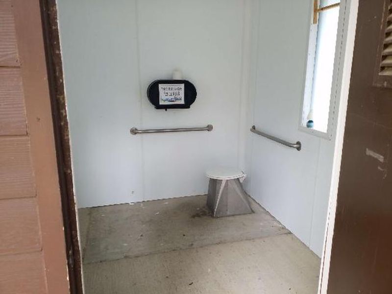
| Toilets | Yes |
| Dump Station | No |
| Wifi | No |
| Pets Allowed | Yes |
| Showers | No |
| Electric Hookups | — |
| Water Hookups | — |
| Sewer Hookups | — |
| Camp Store | No |
| Price | $22 |
Vehicle
| Max RV Length | 45ft |
| Max Trailer Length | 45ft |
| Big Rig Friendly | — |
| Pull Through Sites | No |
Contact
| Phone | +1 (307) 283-1361 |
Cell Service
| AT&T | Yes |
| Verizon | Yes |
| T-Mobile | None |
Availability
Photos
Community Posts
No posts yet. Be the first to share your experience!