Rattlesnake
Closed for the season. Typically opens mid-May through end of September. Reservable as a group site via Recreation.gov; individual sites available first-come, first-served when no group reservation exists.
Weed Free Hay Order 04-2021-03
Prohibited by this order: Possessing, storing, or transporting non-pelletized hay, straw, or mulch in the Intermountain Region, unless it is certified as weed free by the state where the product originated.
Fireworks and Spark Arrestor Order 04-2021-01
Prohibited by this order: Possessing, discharging, or using any kind of firework or other pyrotechnic device. 36 CFR §261.52(t)Operating or using any internal or external combustion engine without a spark arresting device properly installed, maintained and in effective working order as described…
Explosives and Exploding Target Order 04-2021-02
This order prohibits the use of explosives and exploding targets on National Forest System lands within the Intermountain Region.
About
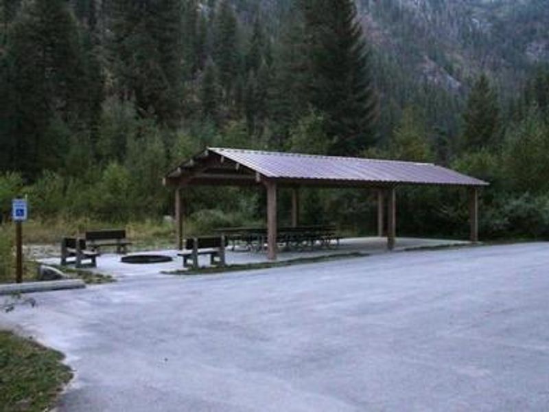
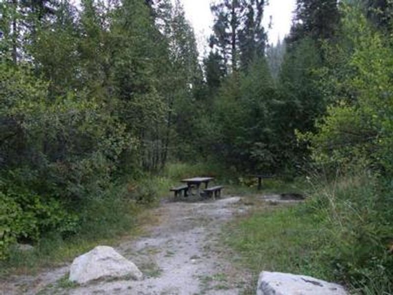
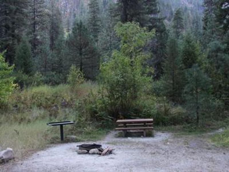
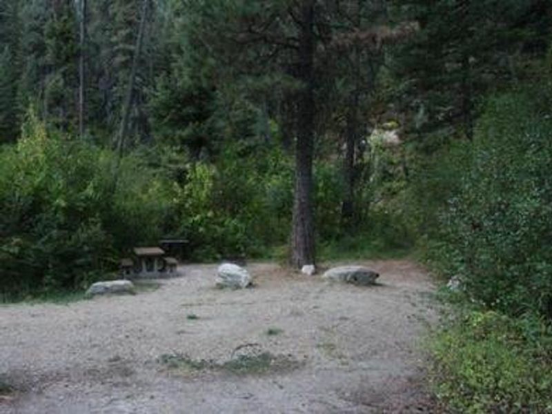
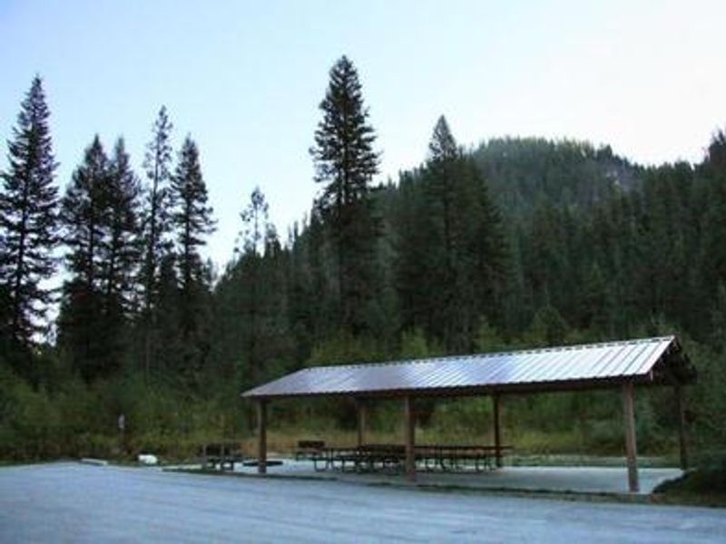
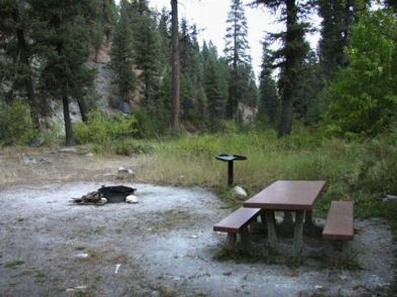
Rattlesnake Campground is a riverside destination in Boise National Forest, situated on the banks of the Middle Fork Payette River among Douglas fir and lodgepole pine trees that provide partial shade. At 3,621 feet elevation, the campground offers 11 sites that can be reserved together as a single group site accommodating up to 100 people, or used individually on a first-come, first-served basis when no group reservation is in place. The Middle Fork Payette River provides good to excellent fishing year-round, with anglers targeting whitefish and rainbow trout. Several trails for hiking, mountain biking, horseback riding, and ATV use are accessible from the area, including the One Spoon Trail, Rattlesnake Trail, and 465 ATV Trail. In-season hunting for deer, elk, and bear is popular in the surrounding mountains. The campground provides basic amenities including vault toilets (two are ADA accessible), fire rings, and picnic tables at each site. Campers must bring their own drinking water as none is available on site. Parking spurs can accommodate RVs up to 35 feet. Firearms are prohibited within 150 yards of the campground.
Directions
From Crouch, travel north on Forest Road 698 approximately 14 miles to the campground on the left side of the road.
Location
Amenities
| Water | No |
| Fires Allowed | Yes |
| Toilets | Yes |
| Dump Station | — |
| Wifi | No |
| Pets Allowed | — |
| Showers | No |
| Electric Hookups | — |
| Water Hookups | — |
| Sewer Hookups | — |
| Camp Store | No |
| Price | $150 |
Vehicle
| Max RV Length | 75ft |
| Max Trailer Length | 75ft |
| Big Rig Friendly | No |
| Pull Through Sites | No |
Contact
| Phone | +1 (541) 351-1182 |
Cell Service
| AT&T | None |
| Verizon | None |
| T-Mobile | None |
Availability
Photos
Community Posts
No posts yet. Be the first to share your experience!