Prune Creek
Currently closed for the season. Typically opens Memorial Day weekend through Labor Day, weather dependent. Reservations available through Recreation.gov.
Wheeled Vehicles in Wilderness
This order describes the prohibition of wheeled vehicles in all National Forest Wilderness Areas of the Rocky Mountain Region and any exceptions thereof.
Weed Free Forage Products
The purpose of this Order is to prevent the introduction or spread of noxious weeds.
Cave Closure and Restrictions
The purpose of this Order is to reduce the spread of the fungus that causes White nose syndrome and to protect bat species during critical biological periods.
About
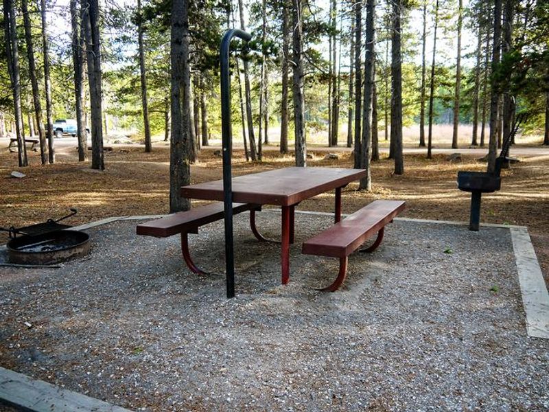
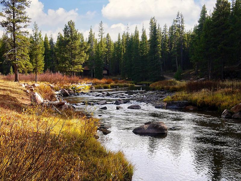
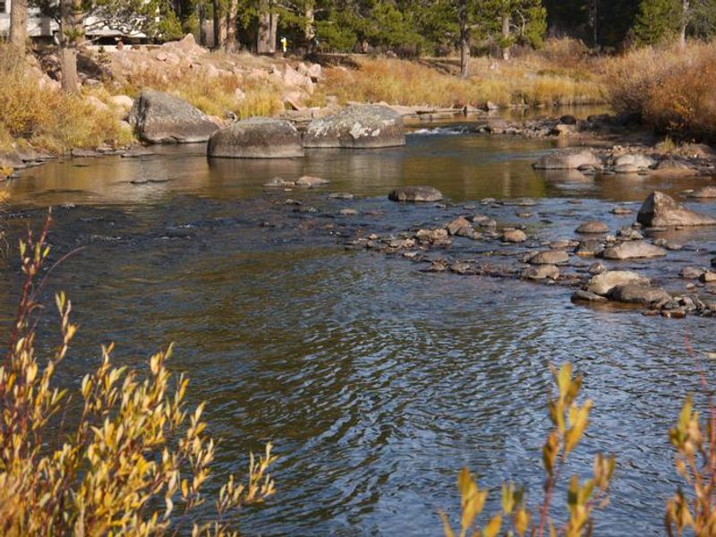
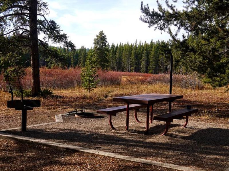
Prune Creek Campground is located along the Bighorn Scenic Byway near Burgess Junction at an elevation of 7,700 feet in the Bighorn Mountains. The campground sits on the banks of the South Fork Tongue River where Prune Creek joins it, surrounded by lodgepole pine forest. Craggy granite peaks rise over 13,000 feet in the distance, creating excellent wildlife habitat throughout the area. The campground offers 20 standard nonelectric sites, each with a picnic table and campfire ring with grill. Vault toilets (accessible), drinking water from a hand pump, and trash collection are provided. Sites accommodate up to 8 people with a maximum of two non-towed vehicles per site. Dogs must be kept on leash; horses and pack animals are not permitted. Nearby Sibley Lake is open to non-motorized craft and offers an accessible fishing dock. Anglers fish for rainbow, brown, and brook trout in the river and nearby lakes. Shell Falls Visitor Center is about 23 miles southwest, and the Medicine Wheel National Historic Landmark is approximately 28 miles away.
Directions
From Dayton, WY, take Highway 14 west for approximately 26 miles. The campground will be on the left.
Amenities
| Water | Yes |
| Fires Allowed | Yes |
| Toilets | Yes |
| Dump Station | — |
| Wifi | No |
| Pets Allowed | Yes |
| Showers | No |
| Electric Hookups | — |
| Water Hookups | — |
| Sewer Hookups | — |
| Camp Store | No |
| Price | $20.5 |
Vehicle
| Max RV Length | 55ft |
| Max Trailer Length | 55ft |
| Big Rig Friendly | — |
| Pull Through Sites | No |
Contact
| gccampgrounds13@gmail.com | |
| Phone | +1 (307) 431-7446 |
Cell Service
| AT&T | None |
| Verizon | None |
| T-Mobile | None |
Useful Links
| View on Recreation.gov | |
| USFS Bighorn NF - Prune Creek |
Availability
Photos
Community Posts
No posts yet. Be the first to share your experience!