North Tongue
Closed for the season. The campground typically opens Memorial Day weekend and operates through Labor Day, weather dependent. The campground is gated during seasonal closures.
Red Flag Warning issued October 9 at 12:48AM MDT until October 9 at 9:00PM MDT by NWS Billings MT
* IMPACTS: Low humidities, unseasonably warm temperatures, and strong gusty winds will create erratic fire behavior and rapid spread for new or existing fires. * AFFECTED AREA: In North Central WY Fire Zones...274...284. In South Central MT Fire Zones...123...124...126. * COUNTIES AFFECTED: In Central MT...Wheatland. In North Central WY...Big Horn...Johnson...Sheridan...Washakie. In South Central MT...Carbon...Park...Stillwater...Sweet Grass. In Southwest MT...Gallatin. * WIND: Southwest 15 to 30 mph with gusts up to 45 mph. * HUMIDITY: As low as 7 percent. * TEMPERATURES: 84 to 90 degrees, warmest over Zone WY274. * ADDITIONAL DETAILS: The worst conditions are expected across the lower to middle elevations in fine fuels. The strongest winds are expected in mountain locations and the foothills west of Billings. Zone WY274 will see lower wind gusts of 15 to 25 mph.
Wheeled Vehicles in Wilderness
This order describes the prohibition of wheeled vehicles in all National Forest Wilderness Areas of the Rocky Mountain Region and any exceptions thereof.
Weed Free Forage Products
The purpose of this Order is to prevent the introduction or spread of noxious weeds.
About
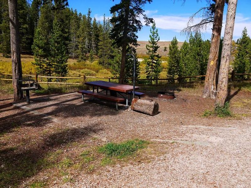
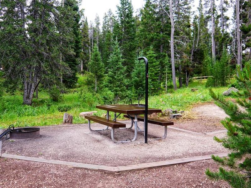
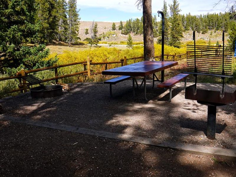
North Tongue Campground is nestled along the North Fork Tongue River and Big Willow Creek in the Bighorn Mountains of Wyoming, where craggy granite peaks rise over 13,000 feet. Located about a mile north of Burgess Junction at 8,400 feet elevation, the campground sits in a lodgepole pine forest interspersed with Engelmann spruce and Douglas fir, providing excellent wildlife habitat. The 12 standard nonelectric sites each feature a picnic table and campfire ring with grill. The campground provides vault toilets, drinking water from a hand pump, and trash collection. It's particularly popular with anglers fishing the North Fork Tongue River. Nearby Sibley Lake offers non-motorized boating and an accessible fishing dock. The area offers diverse recreation including OHV trails, scenic jeep roads, and hiking trails ranging from creek-side strolls to mountain peak treks, many accessing Cloud Peak Wilderness. Shell Falls Visitor Center is 22 miles southwest, and the Medicine Wheel National Historic Landmark is 25 miles away.
Directions
From Dayton, WY, take Highway 14 west for about 27 miles to the junction of Highway 14A. Continue 0.4 miles onto Highway 14A, then turn right onto Forest Road 15 for about 1.1 miles. The campground is on the left.
Location
Amenities
| Water | Yes |
| Fires Allowed | Yes |
| Toilets | Yes |
| Dump Station | No |
| Wifi | No |
| Pets Allowed | Yes |
| Showers | No |
| Electric Hookups | — |
| Water Hookups | — |
| Sewer Hookups | — |
| Camp Store | No |
| Price | $18 |
Vehicle
| Max RV Length | 100ft |
| Max Trailer Length | 100ft |
| Big Rig Friendly | — |
| Pull Through Sites | No |
Contact
| gccampgrounds13@gmail.com | |
| Phone | +1 (307) 431-7446 |
Cell Service
| AT&T | None |
| Verizon | None |
| T-Mobile | None |
Useful Links
| View on Recreation.gov | |
| USFS - North Tongue Campground |
Availability
Photos

Community Posts
No posts yet. Be the first to share your experience!