Outlaw Cave Campground
Open for the season. Outlaw Cave Road is closed annually from January 1 through April 14 due to winter conditions. The campground is first-come, first-served with no reservations. No potable water or trash services; pack out all garbage.
About
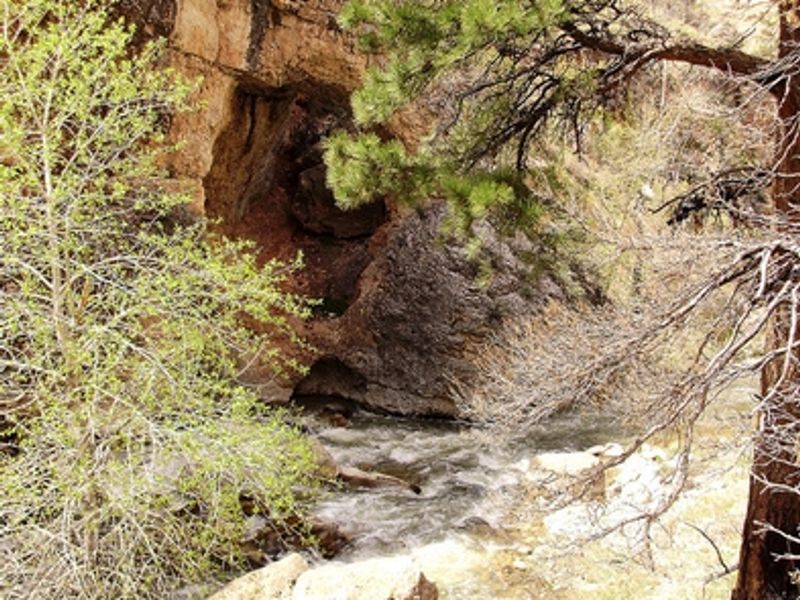
Outlaw Cave Campground sits in the rugged Middle Fork Powder River Recreation Area near Kaycee, Wyoming. This remote canyon country, characterized by red rock walls and deep drainages, served as a hideout for Butch Cassidy and the Wild Bunch in the late 1800s. Two caves and a corral used by the outlaws to stash stolen goods remain near the site. The Middle Fork of the Powder River, a 12-mile blue-ribbon trout fishery, flows through the area, and the surrounding terrain provides winter forage for elk and deer. The campground offers 12 rustic camping spaces on a first-come, first-served basis with no fee and a 14-day stay limit. Facilities are minimal: one vault toilet is provided, but there is no potable water and no trash collection. Campers must pack out all garbage. Prehistoric archaeological resources exist near the site and are protected by federal law. Access follows Bar C Road through private ranch land (the historic Hole-in-the-Wall Ranch), so respect posted signs and stay on the designated route. The primitive roads are best suited for high-clearance vehicles. BLM advises against traveling to this area during inclement weather.
Directions
From Interstate 90, take exit 254 for Kaycee. Head west on Highway 191 for about 1 mile. Turn left onto Highway 190W for about 16 miles to Barnum. Turn left onto Bar C Road (signed for Middle Fork Powder River Management Area). The road passes through the Hole-in-the-Wall Ranch; respect private property and posted signs. Follow Bar C Road for approximately 7.8 miles to the campground.
Amenities
| Water | No |
| Fires Allowed | — |
| Toilets | Yes |
| Dump Station | No |
| Wifi | No |
| Pets Allowed | — |
| Showers | No |
| Electric Hookups | — |
| Water Hookups | — |
| Sewer Hookups | — |
| Camp Store | No |
| Price | $0 |
Vehicle
| Max RV Length | — |
| Max Trailer Length | — |
| Big Rig Friendly | No |
| Pull Through Sites | — |
Contact
| blm_wy_buffalo_fo@blm.gov | |
| Phone | +1 (307) 684-1100 |
Cell Service
| AT&T | Yes |
| Verizon | None |
| T-Mobile | None |
Photos
Community Posts
No posts yet. Be the first to share your experience!