North Abutment Day Use
This is a day-use area only with no overnight camping. Picnic shelters are currently first-come-first-served. Pets must be on a leash and there is no playground access.
Flood Watch issued October 9 at 2:17AM CDT until October 10 at 7:00PM CDT by NWS Jackson MS
* WHAT...Flash flooding caused by excessive rainfall continues to be possible. * WHERE...Portions of central, east central, north central, and northeast Mississippi, including the following counties, in central Mississippi, Choctaw. In east central Mississippi, Clarke, Kemper, Lauderdale, Noxubee and Winston. In north central Mississippi, Carroll, Grenada, Montgomery and Webster. In northeast Mississippi, Clay, Lowndes and Oktibbeha. * WHEN...From this evening through Saturday evening. * IMPACTS...Excessive runoff may result in flooding of rivers, creeks, streams, and other low-lying and flood-prone locations. Flooding may occur in poor drainage and urban areas. * ADDITIONAL DETAILS... - Heavy rain associated with Isaias will eventually spread across the watch area.
Tropical Cyclone Local Statement issued October 8 at 10:20PM CDT by NWS Jackson MS
HLSJAN This product covers Central Mississippi, Northeast Louisiana, and extreme Southeast Arkansas **ISAIAS EXPECTED TO APPROACH THE NORTHERN GULF COAST AS A DANGEROUS HURRICANE ON FRIDAY** **TROPICAL STORM WATCHES REMAIN IN EFFECT FOR EAST TO SOUTHEAST MISSISSIPPI** NEW INFORMATION --------------- * CHANGES TO WATCHES AND WARNINGS: - None * CURRENT WATCHES AND WARNINGS: - A Tropical Storm Watch is in effect for Clarke, Forrest, Jasper, Jones, Kemper, Lauderdale, Neshoba, Newton, Noxubee, and Winston * STORM INFORMATION: - About 410 miles south of Hattiesburg MS or about 490 miles south-southeast of Jackson MS - 25.4N 88.4W - Storm Intensity 105 mph - Movement Northeast or 40 degrees at 14 mph SITUATION OVERVIEW ------------------ Hurricane Isaias continues to move generally to the north towards the north central Gulf Coast. It is expected to make landfall as a dangerous hurricane along the Florida Panhandle late Friday evening into early Saturday morning. Isaias will gradually weaken as it moves to the northwest into central to northwest Alabama late Friday evening through the day Saturday. Tropical storm force winds remain possible across portions of southeast to east Mississippi before it weakens as it moves into central to northwest Alabama. Strong winds resulting in downed trees and power outages and heavy rainfall and flash flooding are possible, with greatest impacts expected generally across southeast to east Mississippi. Conditions are forecast to gradually improve from south to north into Saturday evening. POTENTIAL IMPACTS ----------------- * WIND: Prepare for hazardous wind having possible limited impacts across southeast and east Mississippi. Potential impacts in this area include: - Damage to porches, awnings, carports, sheds, and unanchored mobile homes. Unsecured lightweight objects blown about. - Many large tree limbs broken off. A few trees snapped or uprooted, but with greater numbers in places where trees are shallow rooted. Some fences and roadway signs blown over. - A few roads impassable from debris, particularly within urban or heavily wooded places. Hazardous driving conditions on bridges and other elevated roadways. - Scattered power and communications outages. Elsewhere across Central Mississippi, Northeast Louisiana, and extreme Southeast Arkansas, little to no impact is anticipated. * FLOODING RAIN: Prepare for dangerous rainfall flooding having possible significant impacts across east and northeast Mississippi. Potential impacts include: - Moderate rainfall flooding may prompt several evacuations and rescues. - Rivers and tributaries may quickly become swollen with swifter currents and overspill their banks in a few places, especially in usually vulnerable spots. Small streams, creeks, canals, and ditches overflow. - Flood waters can enter some structures or weaken foundations. Several places may experience expanded areas of rapid inundation at underpasses, low-lying spots, and poor drainage areas. Some streets and parking lots take on moving water as storm drains and retention ponds overflow. Driving conditions become hazardous. Some road and bridge closures. Prepare for locally hazardous rainfall flooding having possible limited impacts across southeast, central and northwest Mississippi. Elsewhere across Central Mississippi, Northeast Louisiana, and extreme Southeast Arkansas, little to no impact is anticipated. PRECAUTIONARY/PREPAREDNESS ACTIONS ---------------------------------- * EVACUATIONS: Follow the advice of local officials. * OTHER PREPAREDNESS INFORMATION: Now is the time to check your emergency plan and emergency supplies kit and take necessary actions to protect your family and secure your home or business. If in a place that is vulnerable to high wind, such as a manufactured home or a structure near large trees, consider moving to a safer shelter. If you live in a place particularly vulnerable to flooding, such as a low-lying or poor drainage area or near an already swollen river, plan to move to safe shelter on higher ground. Closely monitor weather.gov, NOAA Weather Radio and local news outlets for official storm information. Listen for possible changes to the forecast. * ADDITIONAL SOURCES OF INFORMATION: - For information on appropriate preparations see ready.gov - For information on creating an emergency plan see getagameplan.org - For additional disaster preparedness information see redcross.org NEXT UPDATE ----------- The next local statement will be issued by the National Weather Service in Jackson MS around 6AM CDT, or sooner if conditions warrant.
About
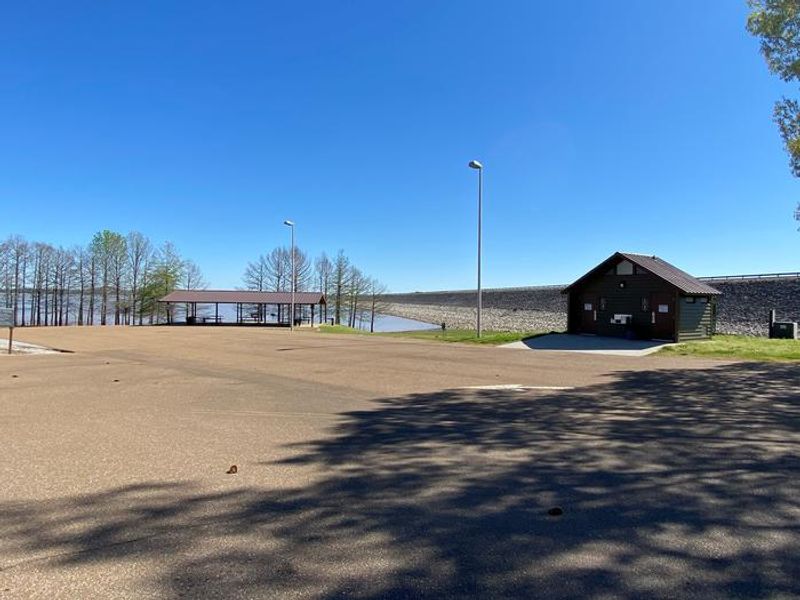
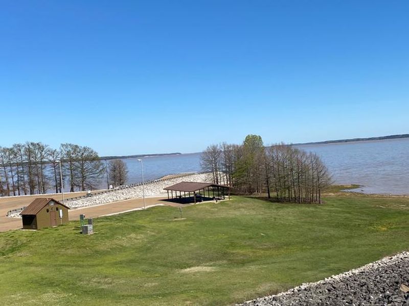
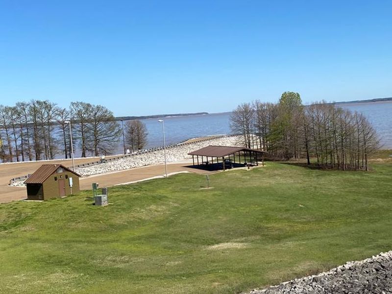
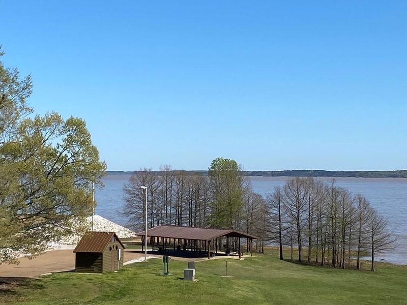
North Abutment Day Use is a scenic day-use recreation area situated on the north side of Grenada Lake's dam in Grenada County, Mississippi. Operated by the U.S. Army Corps of Engineers Vicksburg District, this facility provides access to Grenada Lake for fishing, boating, and picnicking without overnight accommodations. The main feature is Pavilion 500, a covered picnic shelter ideal for group gatherings and events, particularly for those who want to enjoy bank fishing while hosting their event. The facility includes a boat ramp for lake access and restroom facilities near the pavilion. Nearby attractions include the Overlook, Old Fort Cannon Area, Lost Bluff Hiking Trail, and The Dogwoods Golf Course at Hugh White State Park. For overnight camping, visitors should look to the adjacent North Abutment Campground, which is a separate facility.
Directions
North Abutment Day Use Area is located on the northern end of Grenada Dam along scenic Highway 333.
Amenities
| Water | — |
| Fires Allowed | — |
| Toilets | Yes |
| Dump Station | No |
| Wifi | — |
| Pets Allowed | Yes |
| Showers | No |
| Electric Hookups | — |
| Water Hookups | — |
| Sewer Hookups | — |
| Camp Store | No |
| Price | $50 |
Vehicle
| Max RV Length | — |
| Max Trailer Length | — |
| Big Rig Friendly | — |
| Pull Through Sites | No |
Contact
| Grenada.Lake@usace.army.mil | |
| Phone | +1 (662) 226-1679 |
Cell Service
| AT&T | Yes |
| Verizon | Yes |
| T-Mobile | Yes |
Useful Links
| View on Recreation.gov | |
| Recreation.gov - Day Use Pass |
Availability
Photos
Community Posts
No posts yet. Be the first to share your experience!