Mckinney Campground
Closed for construction. The campground's restrooms, shower houses, and dump station are being connected to the Bartow County sewer system. Tentatively scheduled to reopen in spring 2026, though construction appears ongoing as of late May 2026.
Flood Watch issued October 10 at 9:57AM EDT until October 11 at 8:00AM EDT by NWS Peachtree City GA
* WHAT...Flooding caused by excessive rainfall continues to be possible. * WHERE...Portions of central, east central, north central, northeast, northwest, southeast, and west central Georgia, including the following areas, in central Georgia, Baldwin, Bibb, Bleckley, Butts, Crawford, Dodge, Houston, Jasper, Jones, Laurens, Monroe, Montgomery, Peach, Pulaski, Putnam, Telfair, Twiggs, Wheeler, Wilcox and Wilkinson. In east central Georgia, Emanuel, Glascock, Greene, Hancock, Jefferson, Johnson, Taliaferro, Treutlen, Warren, Washington and Wilkes. In north central Georgia, Barrow, Cherokee, Clayton, Cobb, Dawson, DeKalb, Douglas, Fannin, Fayette, Forsyth, Gilmer, Gwinnett, Hall, Henry, Lumpkin, Morgan, Newton, North Fulton, Pickens, Rockdale, South Fulton, Union and Walton. In northeast Georgia, Banks, Clarke, Jackson, Madison, Oconee, Oglethorpe, Towns and White. In northwest Georgia, Bartow, Carroll, Catoosa, Chattooga, Dade, Floyd, Gordon, Haralson, Murray, Paulding, Polk, Walker and Whitfield. In southeast Georgia, Toombs. In west central Georgia, Coweta, Heard, Lamar, Meriwether, Pike, Spalding, Troup and Upson. * WHEN...Through Sunday morning. * IMPACTS...Excessive runoff may result in flooding of rivers, creeks, streams, and other low-lying and flood-prone locations. Flooding may occur in poor drainage and urban areas. * ADDITIONAL DETAILS... - Post Tropical Cyclone Isaias will continue to bring bands of moderate to heavy rainfall to the area through Saturday night. Total estimated rainfall so far shows 1 to 4 inches in western Georgia, and lesser amounts to the east. Further bands of heavy rainfall remain possible for eastern Georgia with more steady rainfall across north Georgia. Expected rainfall totals remains at a general 1 to 4 inches with a localized swatch of up to 8 inches possible by event end. Tropical rainfall rates and training bands of thunderstorms may lead to flash and riverine flooding. - http://www.weather.gov/safety/flood
High Wind Warning issued October 10 at 5:00AM EDT until October 11 at 8:00AM EDT by NWS Peachtree City GA
* WHAT...East winds 15 to 25 mph with gusts up to 50 mph expected. Stronger gusts are possible in the higher elevations of the north Georgia mountains. * WHERE...Portions of north central, northeast, northwest, and west central Georgia. * WHEN...Until 8 AM EDT Sunday. * IMPACTS...Damaging winds will blow down trees and power lines. Widespread power outages are expected. Travel will be difficult, especially for high profile vehicles.
Tropical Cyclone Local Statement issued October 10 at 5:23AM EDT by NWS Peachtree City GA
HLSFFC This product covers North and Central Georgia **ISAIAS MOVING INLAND OVER ALABAMA** **FLASH FLOODING AND TORNADO RISKS CONTINUE INTO TONIGHT** NEW INFORMATION --------------- * CHANGES TO WATCHES AND WARNINGS: - The Tropical Storm Warning has been cancelled for Chattahoochee, Harris, Heard, Macon, Marion, Meriwether, Muscogee, Pike, Schley, Stewart, Sumter, Talbot, Taylor, Troup, Upson, and Webster * CURRENT WATCHES AND WARNINGS: - None * STORM INFORMATION: - About 170 miles southwest of Atlanta GA or about 90 miles west-southwest of Columbus GA - 32.0N 86.5W - Storm Intensity 35 mph - Movement North or 360 degrees at 14 mph SITUATION OVERVIEW ------------------ As of 5 AM EDT, Post-Tropical Cyclone Isaias was moving northward across Alabama at 14 MPH with maximum sustained winds of 35 MPH. Widespread and potentially significant impacts are starting to unfold across North and Central Georgia on the eastern side of Isaias. These include a prolonged period of strong winds, heavy rainfall with localized flooding, and the potential for several tornadoes. Impacts will peak in intensity today into tonight as Isaias continues moving north across Alabama and into the Tennessee Valley. While Isaias is weakening and has become post-tropical, there will be a very strong pressure gradient between the system and strong high pressure over the Mid-Atlantic. This gradient will support a prolonged period of strong easterly winds with frequent gusts to 40 to 50 mph across most of North Georgia through this afternoon and into tonight. A High Wind Warning is in effect for this area. Areas to the south of these warnings are in a Wind Advisory where winds will be weaker, though gusts up to 40 mph will be possible. Across all areas, the prolonged and strong winds could lead to power outages from downed limbs and trees, especially when combined with saturated soils from periods of heavy rain. Isaias will continue to bring widespread rainfall to the area, with multiple bands of heavy rain expected through early Sunday. Widespread rainfall totals of 2 to 4 inches are likely across much of the area. A localized swath of as much as 8 inches will be possible where the heaviest banding sets up. This rainfall could lead to flash flooding, particularly in urban and poor-drainge areas, as well as flood-prone creeks and streams. The north-south orientation of bands may enhance river flooding along north-south reaches. Training heavy rain in the mountains may furthermore increase the risk of landslides. A Flood Watch remains in effect for the entire area, as a result. Additionally, a favorable environment for tornadoes is starting to develop across Central Georgia early this morning, and will advance into north Georgia by the afternoon and evening. Several tornadoes will be possible, particularly within the outer rainbands of the system. Tornadoes from tropical systems are typically quick to develop and short-lived, but with the forward speed of the system and the unique setup, we can't rule out a stronger (EF2 or EF3), long-track tornado, especially across Central Georgia. POTENTIAL IMPACTS ----------------- * WIND: Potential impacts from the main wind event are now unfolding across North and Central Georgia. Remain well sheltered from hazardous wind having potentially significant impacts. If realized, these impacts include: - Damage to porches, awnings, carports, sheds, and unanchored mobile homes. Unsecured lightweight objects blown about. - Many large tree limbs broken off. A few trees snapped or uprooted, but with greater numbers in places where trees are shallow rooted. Some fences and roadway signs blown over. - A few roads impassable from debris, particularly within urban or heavily wooded places. Hazardous driving conditions on bridges and other elevated roadways. - Scattered power and communications outages. * FLOODING RAIN: Potential impacts from the flooding rain are still unfolding across North and Central Georgia. Remain well guarded against life- threatening flood waters having possible extensive impacts. If realized, these impacts include: - Major rainfall flooding may prompt many evacuations and rescues. - Rivers and tributaries may rapidly overflow their banks in multiple places. Small streams, creeks, canals, arroyos, and ditches may become dangerous rivers. In mountain areas, destructive runoff may run quickly down valleys while increasing susceptibility to rockslides and mudslides. Flood control systems and barriers may become stressed. - Flood waters can enter many structures within multiple communities, some structures becoming uninhabitable or washed away. Many places where flood waters may cover escape routes. Streets and parking lots become rivers of moving water with underpasses submerged. Driving conditions become dangerous. Many road and bridge closures with some weakened or washed out. * TORNADOES: Potential impacts from tornadoes are still unfolding across North and Central Georgia. Remain well braced against a dangerous tornado event having possible significant impacts. If realized, these impacts include: - The occurrence of scattered tornadoes can hinder the execution of emergency plans during tropical events. - Several places may experience tornado damage with a few spots of considerable damage, power loss, and communications failures. - Locations could realize roofs torn off frame houses, mobile homes demolished, boxcars overturned, large trees snapped or uprooted, vehicles tumbled, and small boats tossed about. Dangerous projectiles can add to the toll. PRECAUTIONARY/PREPAREDNESS ACTIONS ---------------------------------- * EVACUATIONS: Follow the advice of local officials. * OTHER PREPAREDNESS INFORMATION: Now is the time to stay inside and away from windows. Listen for updates and be ready in case you lose electrical power. Keep a battery- powered radio, charged cell phone and flashlight handy. During the peak of the storm be ready to move quickly. Keep your shoes on and rain gear handy. Boots and athletic shoes offer the best foot protection if you become unexpectedly exposed to the weather. Keep your cell phone charged and in power-saving mode. If you lose power, use it sparingly and mainly for personal emergencies and check-ins. If you are prone to flooding or in an area under a storm surge watch or warning, be prepared for the possibility of a quick and dramatic rise in water levels. If a tornado warning is issued for your area, quickly move to the safest place within your shelter. Protect your head and body. * ADDITIONAL SOURCES OF INFORMATION: - For information on creating an emergency plan see ready.ga.gov - For information on appropriate preparations see ready.gov - For additional disaster preparedness information see redcross.org NEXT UPDATE ----------- As it pertains to this event...this will be the last local statement issued by the National Weather Service in Peachtree City GA regarding the effects of tropical cyclone hazards upon the area.
About
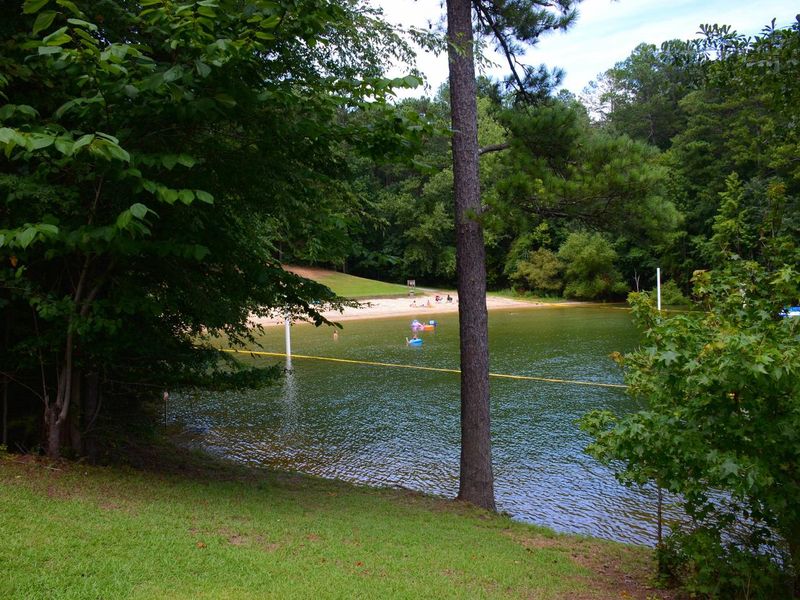
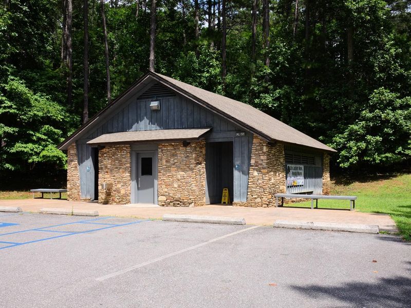
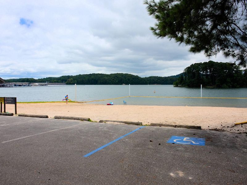
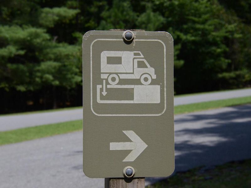
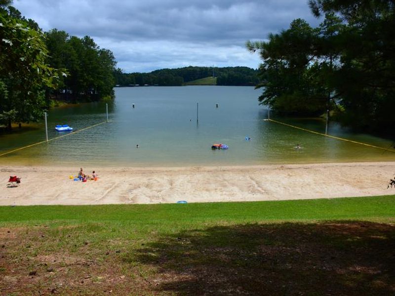
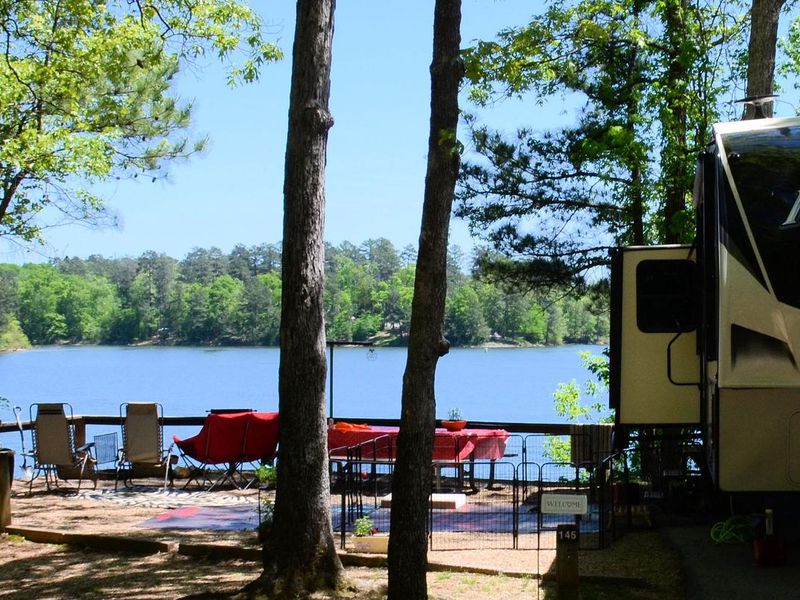
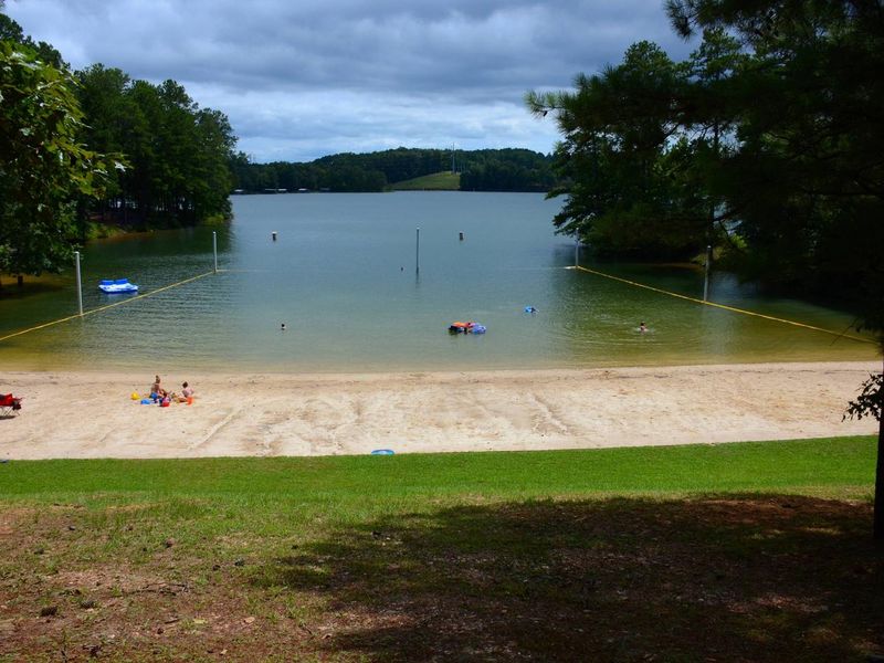
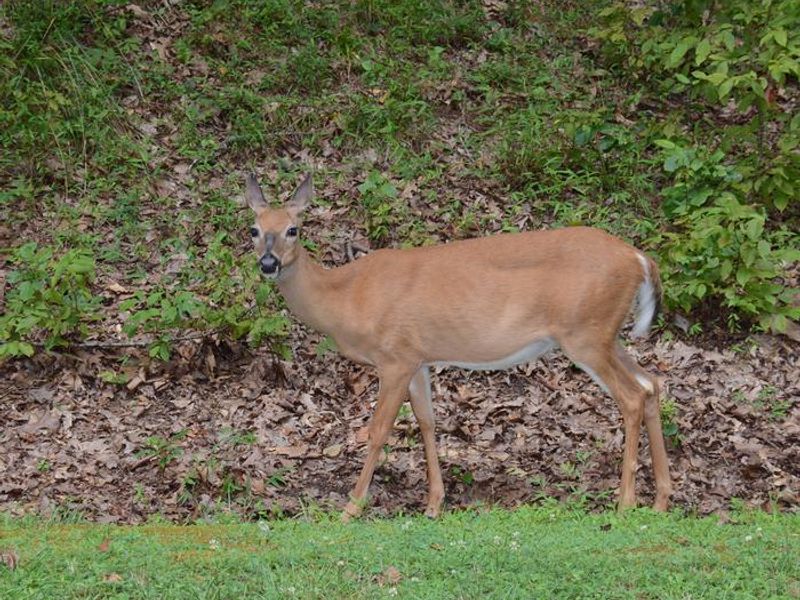
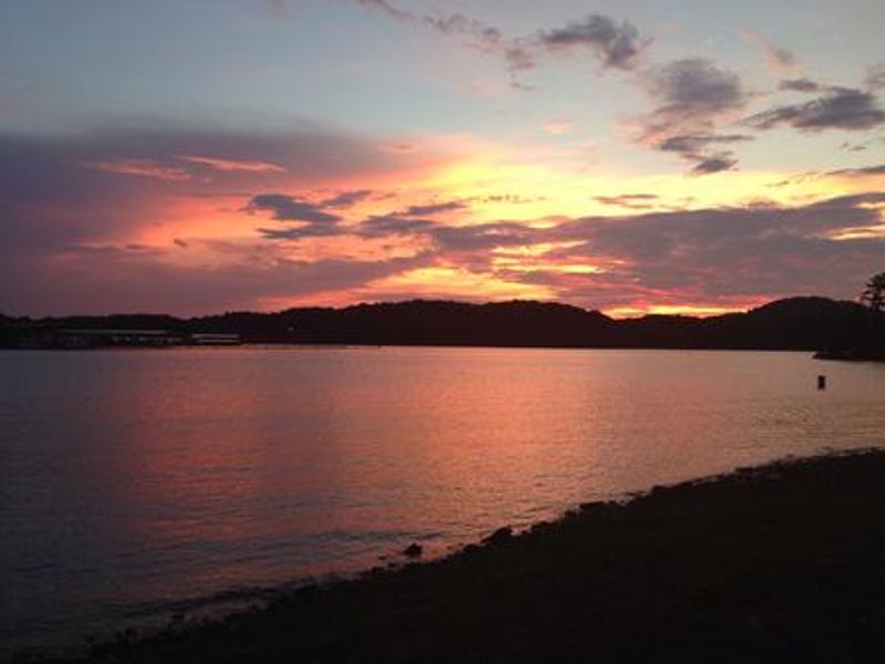
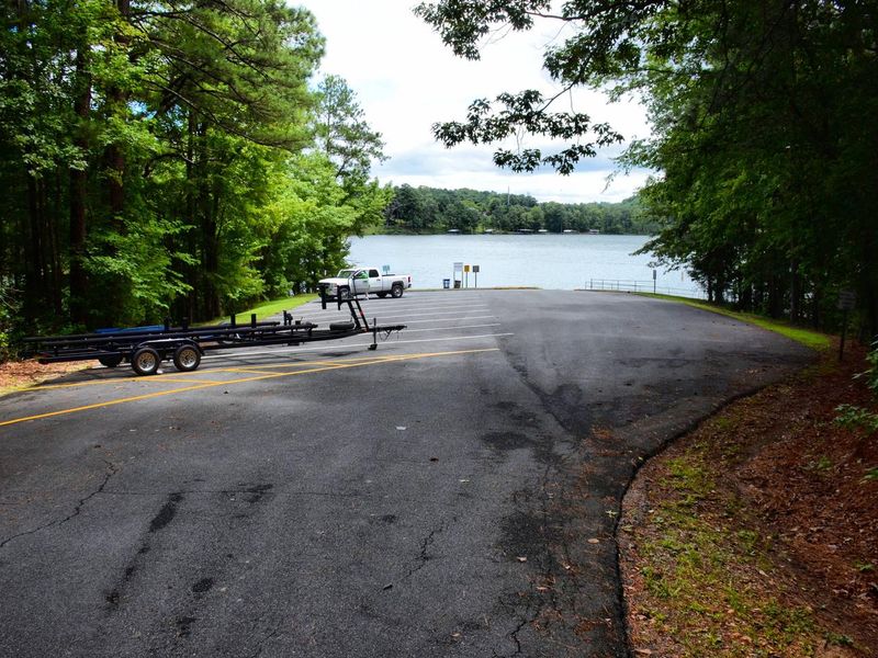
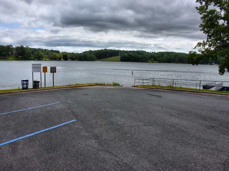
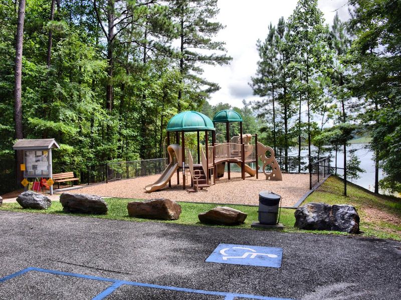
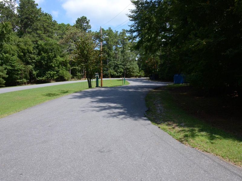
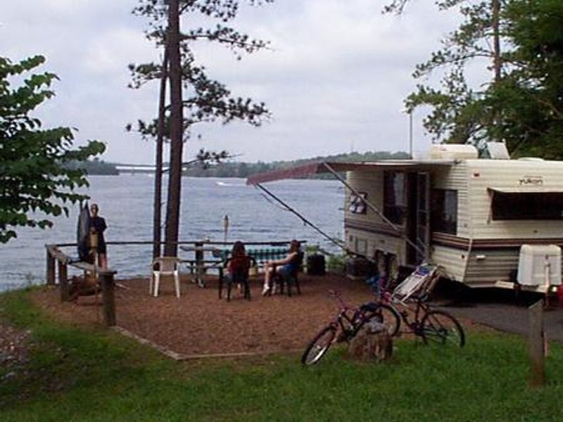
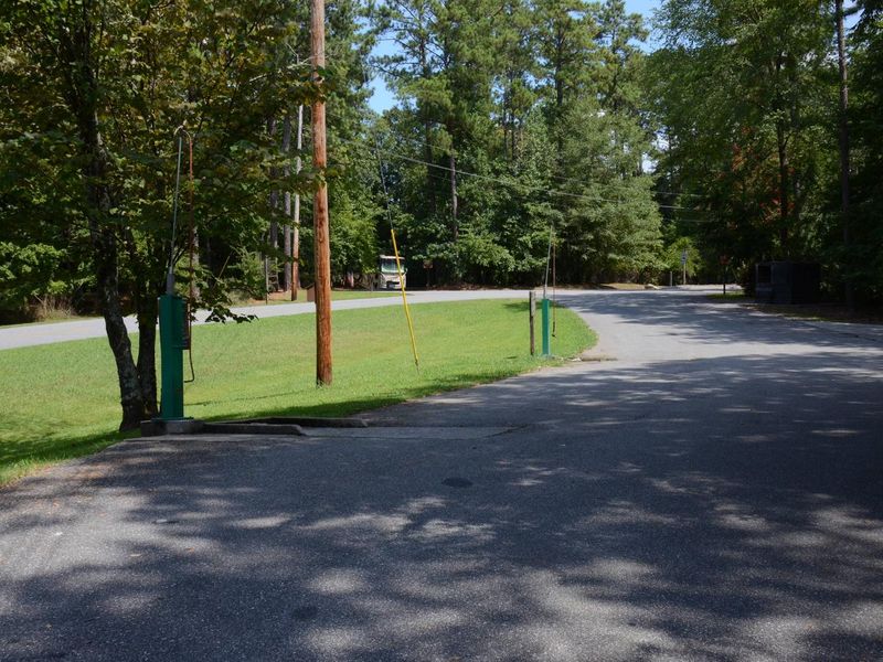
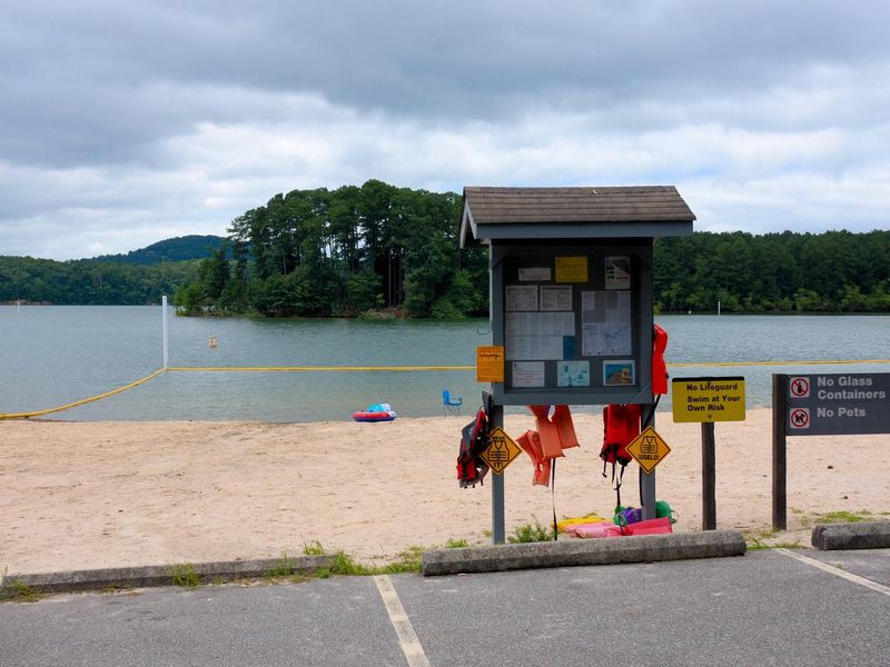
McKinney Campground is one of the most frequently visited Corps of Engineers facilities in the nation, located on the shores of Allatoona Lake approximately 30 miles from Atlanta. The campground provides 150 campsites ranging from 21 to 60 feet in length, all equipped with 50-amp electric service and water hookups. Lakefront sites offer direct access to the water and scenic views. Facilities include seven shower buildings distributed throughout the grounds with flush toilets and hot showers, a dump station, and coin-operated laundry. Two swimming beaches with sandy shores give campers lake access, and a boat ramp is available free of charge to registered guests. The campground serves as an excellent base for fishing, as Allatoona Lake is stocked annually with bass, crappie, bream, and catfish. Nearby attractions include Red Top Mountain State Park with 15+ miles of hiking trails, the Etowah Indian Mounds, Booth Western Art Museum in Cartersville, and the historic downtown areas of Acworth and Woodstock. Eight marinas on Allatoona Lake offer boat rentals and dining.
Directions
From I-75 take exit 278 and turn north onto Glade Road. Continue for approximately 3 miles, then turn left onto King's Camp Road. After about a mile continue left at the fork and follow signs to the campground. Physical address: 6659 McKinney Campground Road, Acworth, GA 30102.
Nearby Campgrounds
Amenities
| Water | Yes |
| Fires Allowed | Yes |
| Toilets | Yes |
| Dump Station | Yes |
| Wifi | — |
| Pets Allowed | Yes |
| Showers | Yes |
| Electric Hookups | Yes |
| Water Hookups | Yes |
| Sewer Hookups | No |
| Camp Store | — |
| Price | $34 |
Vehicle
| Max RV Length | 60ft |
| Max Trailer Length | 60ft |
| Big Rig Friendly | No |
| Pull Through Sites | No |
Contact
| Phone | +1 (678) 721-6700 |
Cell Service
| AT&T | Yes |
| Verizon | Yes |
| T-Mobile | Yes |
Availability
Photos

Community Posts
No posts yet. Be the first to share your experience!