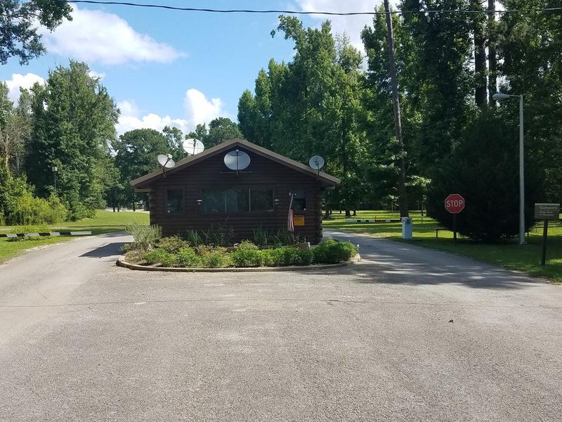
Magnolia Ridge
Open year-round. Reservations available through Recreation.gov up to 6 months in advance. Check-in is 2:00 PM, check-out is 1:30 PM. Maximum stay is 14 consecutive nights per 30-day period. Gate closes nightly and requires a code for re-entry.
Extreme Heat Warning issued July 21 at 11:38AM CDT until July 22 at 8:00PM CDT by NWS Lake Charles LA
* WHAT...For the Heat Advisory, heat index values up to 113 expected. For the Extreme Heat Warning, dangerously hot conditions with heat index values up to 117 expected. * WHERE...Portions of central, south central, southwest, and west central Louisiana and southeast Texas. * WHEN...For the Heat Advisory, until 7 PM CDT this evening. For the Extreme Heat Warning, from 10 AM to 8 PM CDT Wednesday. * IMPACTS...Heat related illnesses increase significantly during extreme heat and high humidity events. Hot temperatures and high humidity may cause heat illnesses.
Tropical Cyclone Local Statement issued July 21 at 4:12PM CDT by NWS Lake Charles LA
HLSLCH This product covers Southwest Louisiana and Southeast Texas **TROPICAL STORM BERTHA MOVING DUE WEST ALONG NORTHERN GULF COAST** NEW INFORMATION --------------- * CHANGES TO WATCHES AND WARNINGS: - A Tropical Storm Watch has been issued for East Cameron * CURRENT WATCHES AND WARNINGS: - A Tropical Storm Watch is in effect for East Cameron, Lower Iberia, Lower St. Mary, and Lower Vermilion * STORM INFORMATION: - About 370 miles east of Cameron LA or about 240 miles east of Morgan City LA - 29.4N 87.2W - Storm Intensity 60 mph - Movement Northwest or 305 degrees at 6 mph SITUATION OVERVIEW ------------------ Tropical Storm Bertha is currently located in the northeastern Gulf and is slowly moving due west. Bertha will continue to maintain Tropical Storm strength as the storm tracks along the coast of central and southwest Louisiana. Bertha is forecasted to bring tropical storm force gusts and locally heavy rainfall for coastal areas south of I-10. Storm surge up to 3 feet will be possible across from Morgan city to Cameron. A Tropical Storm Watch is now in effect for Morgan city to Cameron. A tropical Storm watch is in effect for Vermilion bay and coastal waters east of Calcasieu Pass. POTENTIAL IMPACTS ----------------- * WIND: Prepare for hazardous wind having possible limited impacts across Southwest Louisiana. Potential impacts in this area include: - Damage to porches, awnings, carports, sheds, and unanchored mobile homes. Unsecured lightweight objects blown about. - Many large tree limbs broken off. A few trees snapped or uprooted, but with greater numbers in places where trees are shallow rooted. Some fences and roadway signs blown over. - A few roads impassable from debris, particularly within urban or heavily wooded places. Hazardous driving conditions on bridges and other elevated roadways. - Scattered power and communications outages. Elsewhere across Southwest Louisiana and Southeast Texas, little to no impact is anticipated. * SURGE: Prepare for locally hazardous surge having possible limited impacts across Coastal Southwest Louisiana. Potential impacts in this area include: - Localized inundation with storm surge flooding mainly along immediate shorelines and in low-lying spots, or in areas farther inland near where higher surge waters move ashore. - Sections of near-shore roads and parking lots become overspread with surge water. Driving conditions dangerous in places where surge water covers the road. - Moderate beach erosion. Heavy surf also breaching dunes, mainly in usually vulnerable locations. Strong rip currents. - Minor to locally moderate damage to marinas, docks, boardwalks, and piers. A few small craft broken away from moorings. Elsewhere across Southwest Louisiana and Southeast Texas, little to no impact is anticipated. * FLOODING RAIN: Prepare for locally hazardous rainfall flooding having possible limited impacts across coastal portions of Louisiana. Potential impacts include: - Localized rainfall flooding may prompt a few evacuations. - Rivers and tributaries may quickly rise with swifter currents. Small streams, creeks, canals, and ditches may become swollen and overflow in spots. - Flood waters can enter a few structures, especially in usually vulnerable spots. A few places where rapid ponding of water occurs at underpasses, low-lying spots, and poor drainage areas. Several storm drains and retention ponds become near-full and begin to overflow. Some brief road and bridge closures. Elsewhere across Southwest Louisiana and Southeast Texas, little to no impact is anticipated. * TORNADOES: Little to no impacts are anticipated at this time across Southwest Louisiana and Southeast Texas. PRECAUTIONARY/PREPAREDNESS ACTIONS ---------------------------------- * EVACUATIONS: Follow the advice of local officials. * OTHER PREPAREDNESS INFORMATION: Now is the time to check your emergency plan and emergency supplies kit and take necessary actions to protect your family and secure your home or business. When making safety and preparedness decisions, do not focus on the exact forecast track since hazards such as flooding rain, damaging wind gusts, storm surge, and tornadoes extend well away from the center of the storm. Always heed the advice of local officials and comply with orders that are issued. Do not needlessly jeopardize your life or the lives of others. Closely monitor weather.gov, NOAA Weather Radio and local news outlets for official storm information. Listen for possible changes to the forecast. * ADDITIONAL SOURCES OF INFORMATION: - For information on appropriate preparations see ready.gov - For information on creating an emergency plan see getagameplan.org - For additional disaster preparedness information see redcross.org NEXT UPDATE ----------- The next local statement will be issued by the National Weather Service in Lake Charles LA around 10 PM CDT, or sooner if conditions warrant.
Heat Advisory issued July 21 at 11:38AM CDT until July 21 at 7:00PM CDT by NWS Lake Charles LA
* WHAT...For the Heat Advisory, heat index values up to 113 expected. For the Extreme Heat Warning, dangerously hot conditions with heat index values up to 117 expected. * WHERE...Portions of central, south central, southwest, and west central Louisiana and southeast Texas. * WHEN...For the Heat Advisory, until 7 PM CDT this evening. For the Extreme Heat Warning, from 10 AM to 8 PM CDT Wednesday. * IMPACTS...Heat related illnesses increase significantly during extreme heat and high humidity events. Hot temperatures and high humidity may cause heat illnesses.
About
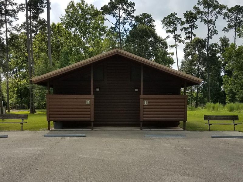
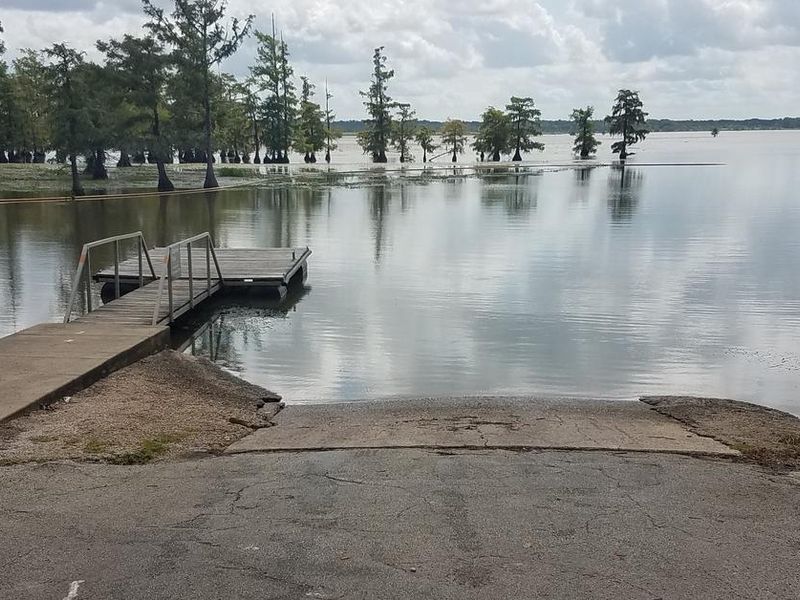
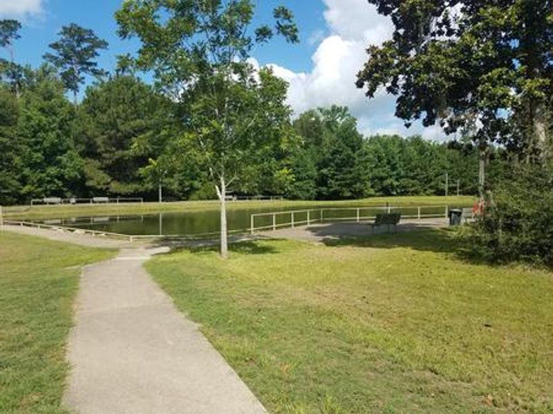
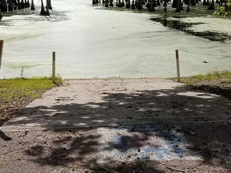
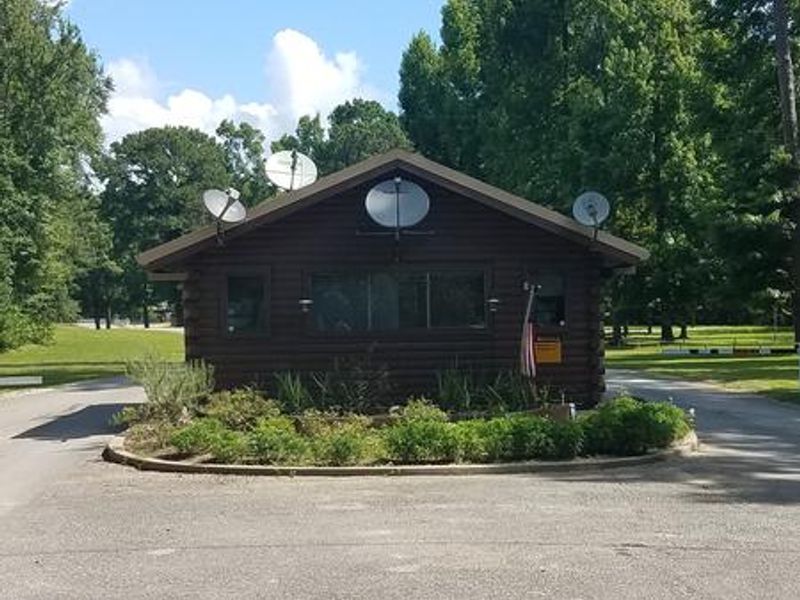
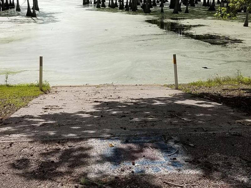
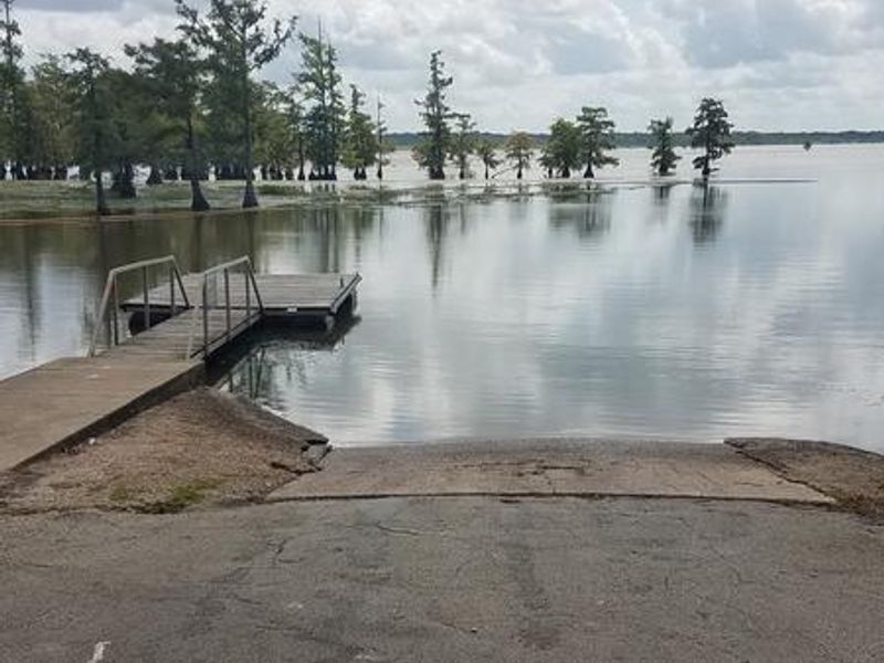
Magnolia Ridge Park occupies a scenic stretch of shoreline on the northwest side of B.A. Steinhagen Lake, a reservoir created by Town Bluff Dam on the Neches River. The campground lies in the heart of the East Texas Pineywoods, surrounded by pine uplands and bottomland hardwoods that shelter white-tailed deer, squirrels, foxes, quail, and numerous waterfowl species. The U.S. Army Corps of Engineers operates 41 campsites here, with 39 featuring water and electric hookups (30 and 50 amp service available) and a handful of tent-only nonelectric sites. Facilities include flush restrooms with hot showers, an RV dump station, a group day-use shelter, and a group overnight shelter with electric. The paved road system within the park offers good biking opportunities for 3-5 mile rides. B.A. Steinhagen Lake is known for excellent fishing, with largemouth bass, catfish, and crappie as the primary sport fish. Three single-lane boat ramps provide water access. A dedicated Kid's Fish Pond within the park hosts an annual Kids Fish Day in June. The nearby Angelina-Neches/Dam B Wildlife Management Area covers nearly 13,000 acres of mature hardwoods for additional hunting, hiking, and wildlife viewing opportunities.
Directions
From Woodville, Texas, go 11 miles east on US-190. Turn north on FM-92 and continue 1.5 miles to the park entrance road.
Amenities
| Water | Yes |
| Fires Allowed | Yes |
| Toilets | Yes |
| Dump Station | Yes |
| Wifi | — |
| Pets Allowed | Yes |
| Showers | Yes |
| Electric Hookups | Yes |
| Water Hookups | Yes |
| Sewer Hookups | No |
| Camp Store | — |
| Price | $18 - $45 |
Vehicle
| Max RV Length | 75ft |
| Max Trailer Length | 75ft |
| Big Rig Friendly | Yes |
| Pull Through Sites | No |
Contact
| Phone | +1 (877) 444-6777 |
Cell Service
| AT&T | Yes |
| Verizon | Yes |
| T-Mobile | Yes |
Availability
Photos
Community Posts
No posts yet. Be the first to share your experience!