Macks Creek Park
Open for the 2026 season. Reservations required May through September via Recreation.gov. Closed to vehicle traffic October through April. Check-in is noon, check-out is 11:00 AM.
Flash Flood Warning issued September 18 at 5:21PM MDT until September 18 at 8:15PM MDT by NWS Boise ID
FFWBOI The National Weather Service in Boise has issued a * Flash Flood Warning for... The Wapiti Burn Area in... Northeastern Boise County in southwestern Idaho... * Until 815 PM MDT. * At 521 PM MDT, emergency management reported thunderstorms producing heavy rain over the Wapiti Burn Area. The expected rainfall rate is 0.25 inches in 1 hour. Additional rainfall amounts up to 0.5 inches are possible in the warned area. Flash flooding is ongoing or expected to begin shortly. Excessive rainfall over the burn scar will result in debris flow. The debris flow can consist of rock, mud, vegetation and other loose materials. HAZARD...Life threatening flash flooding. Thunderstorms producing flash flooding in and around the Wapiti Burn Area. SOURCE...Emergency management reported debris on Idaho State Highway 21 between mileposts 103 and 105. IMPACT...Life threatening flash flooding of areas in and around the Wapiti Burn Area. * Some locations that will experience flash flooding include... Warm Springs Guard Station.
Flash Flood Watch issued September 18 at 10:50AM MDT until September 19 at 12:00AM MDT by NWS Boise ID
* WHAT...Flash flooding and debris flows caused by excessive rainfall are possible over the Wapiti, Crooked, Buckhorn burn scar areas. * WHERE...Portions of south central and southwest Idaho, including the following areas, in south central Idaho, Western Magic Valley. In southwest Idaho, Boise Mountains, Camas Prairie, Lower Treasure Valley, Upper Treasure Valley and West Central Mountains. * WHEN...Through this evening. * IMPACTS...Heavy rainfall over the Wapiti, Crooked, Buckhorn burn scar is expected up to and during the period of the watch. Residents near the Wapiti, Crooked, Buckhorn burn scar should prepare for potential debris flow. Be sure to stay up to date with information from local authorities. Heavy rainfall could trigger flash flooding or debris flows in and near recent wildfire burn scars. * ADDITIONAL DETAILS... - National Weather Service Meteorologists are forecasting heavy rainfall over the burn scar, which may lead to flash flooding and debris flows. - Some locations that may experience flash flooding include... Idaho City, Fairfield, Lowman, Horseshoe Bend, Pine, Prairie, Atlanta, Anderson Dam, Corral, Centerville, Pioneerville, Garden Valley, Banks, Gardena, Crouch, Placerville, Trinity Lakes, Rocky Bar, Dutch Creek Guard Station and Featherville. - https://www.weather.gov/safety/flood
About
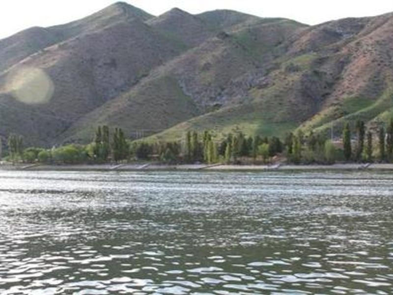
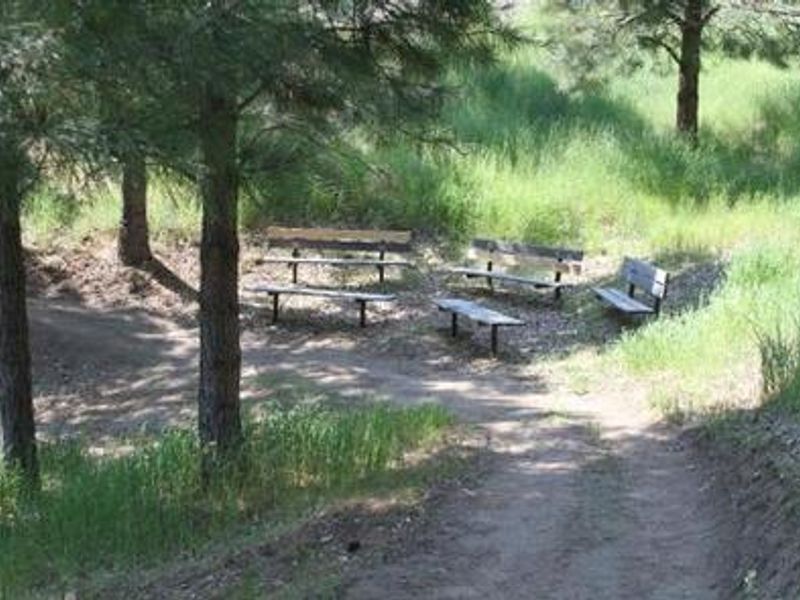
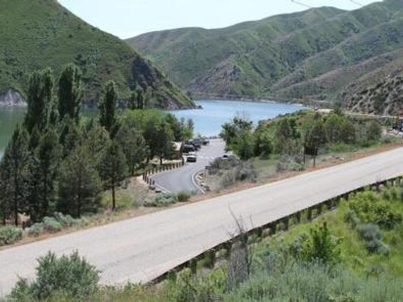
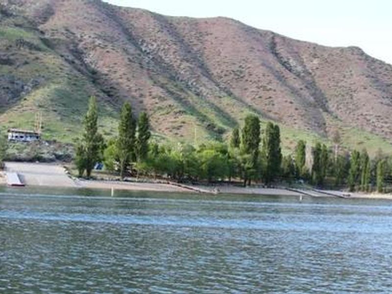
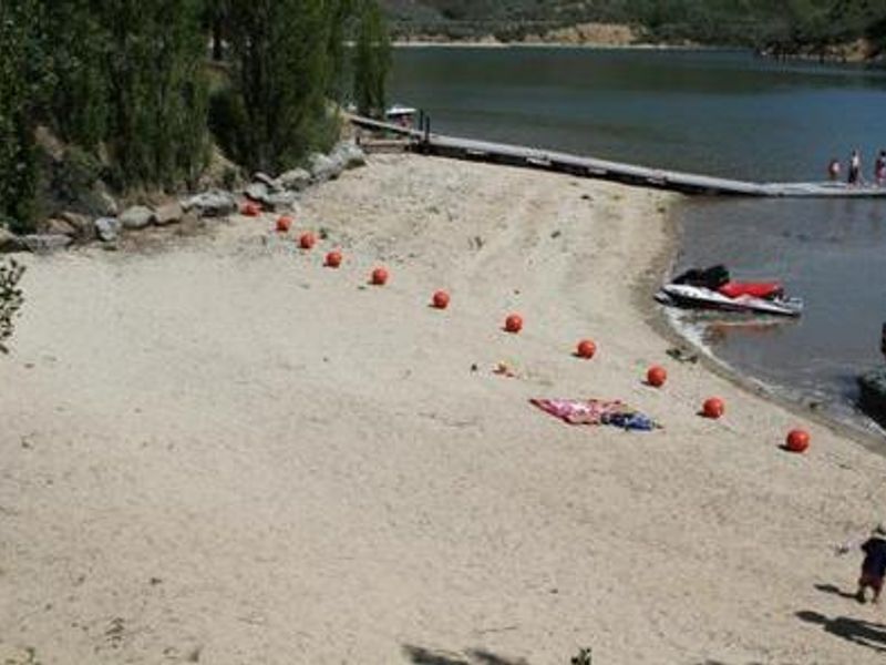
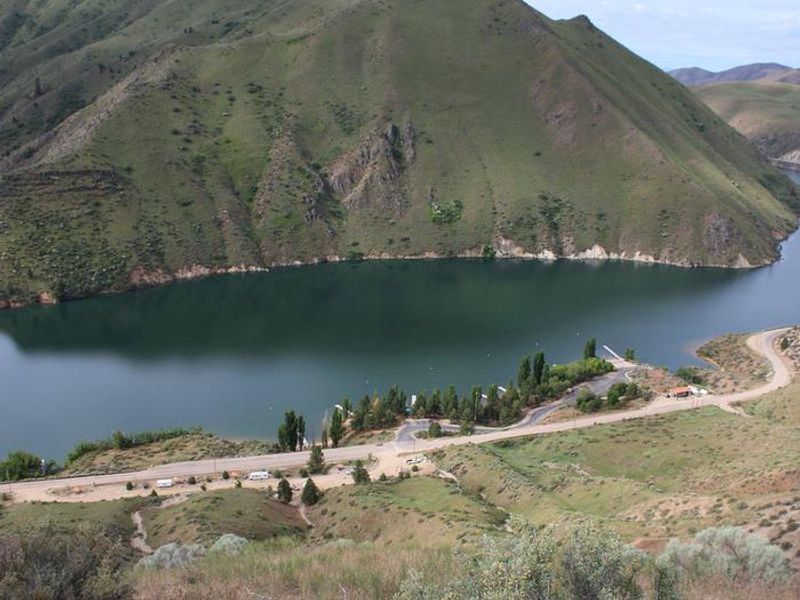
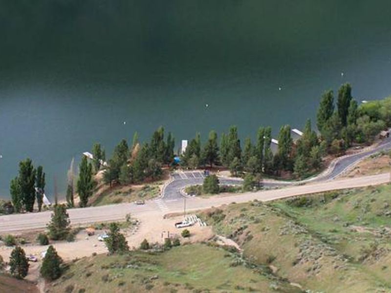
Macks Creek Park sits on the scenic shores of Lucky Peak Lake in the foothills of southwestern Idaho, just 25 miles from Boise along Arrowrock Road off Highway 21. This small campground is operated by the US Army Corps of Engineers and offers 15 campsites: five standard nonelectric RV sites and ten tent-only sites along the lakeshore. The tent sites are nestled among shady trees with lake views, while RV sites are positioned above Arrowrock Road with panoramic views of the lake and surrounding mountains. Facilities include clean vault restrooms, hand-pumped drinking water, dumpsters, an emergency telephone, and a boat ramp within the campground. A swimming beach area and shared docks provide lake access. The surrounding landscape features sagebrush steppe habitat with wildlife including bald and golden eagles, mule deer, antelope, and California quail. Anglers target rainbow trout, Kokanee salmon, and smallmouth bass. Parking is extremely limited, with 1-4 assigned stalls per site depending on location. A volunteer Camp Host resides on-site during the operating season. Nearby attractions include Arrowrock Reservoir and Boise National Forest for additional recreation opportunities.
Directions
From Gowen Road (Exit 57) off I-84, head east toward South Federal Way. Continue on Highway 21 for 12.5 miles. Turn right on Arrowrock Road immediately after the High Bridge crossing over the lake. Continue on Arrowrock Road past Spring Shores Marina at Mile 1 for a total of 4.5 miles to Macks Creek Park.
Amenities
| Water | Yes |
| Fires Allowed | Yes |
| Toilets | Yes |
| Dump Station | No |
| Wifi | No |
| Pets Allowed | Yes |
| Showers | No |
| Electric Hookups | — |
| Water Hookups | — |
| Sewer Hookups | — |
| Camp Store | No |
| Price | $20 |
Vehicle
| Max RV Length | 45ft |
| Max Trailer Length | 35ft |
| Big Rig Friendly | No |
| Pull Through Sites | No |
Contact
| Michael.A.Carilli@usace.army.mil | |
| Phone | +1 (208) 343-0671 |
Cell Service
| AT&T | None |
| Verizon | None |
| T-Mobile | None |
Availability
Photos
Community Posts
No posts yet. Be the first to share your experience!