Longleaf Campground
The campground is open and operates year-round. Reservations are required through Recreation.gov; no walk-up registration is available. Check-in is 12:00 p.m. and check-out is 11:00 a.m. Maximum stay is 14 consecutive days. Senior and Access Pass holders receive a 50% discount on camping fees.
Flood Warning issued October 11 at 9:45PM EDT until October 15 at 11:25PM EDT by NWS Columbia SC
...The Flood Warning continues for the following rivers in South Carolina... Congaree River At Carolina Eastman affecting Richland, Lexington and Calhoun Counties. Congaree River At Congaree River at Congaree NP Near Gadsden affecting Richland and Calhoun Counties. * WHAT...Moderate flooding is forecast. * WHERE...Congaree River at Carolina Eastman. * WHEN...From Monday evening to Thursday evening. * IMPACTS...At 115.0 feet, Flooding occurs in low lying areas of the Carolina Eastman Facility and at the Congaree National Park. At 119.0 feet, Extensive flooding occurs in the Congaree National Park. Some area farmland is flooded. Minor flooding occurs at the Carolina Eastman Facility. * ADDITIONAL DETAILS... - At 6:06 PM EDT Sunday the stage was 103.2 feet. - Bankfull stage is 114.0 feet. - Forecast...The river is expected to rise above flood stage late tomorrow evening to a crest of 120.7 feet Tuesday evening. It will then fall below flood stage late Wednesday evening. - Flood stage is 115.0 feet. - http://www.weather.gov/safety/flood
Flood Warning issued October 11 at 9:45PM EDT until October 16 at 9:42PM EDT by NWS Columbia SC
...The Flood Warning continues for the following rivers in South Carolina... Congaree River At Carolina Eastman affecting Richland, Lexington and Calhoun Counties. Congaree River At Congaree River at Congaree NP Near Gadsden affecting Richland and Calhoun Counties. * WHAT...Minor flooding is forecast. * WHERE...Congaree River at Congaree River at Congaree NP Near Gadsden. * WHEN...From Tuesday afternoon to Friday evening. * IMPACTS...At 15.0 feet, Flooding begins in the Congaree National Park. This will begin to produce flooding of portions of the lower boardwalk. At 17.0 feet, The access road to the Sandy Run subdivision becomes flooded. The lower boardwalk in the Congaree National Park becomes flooded by Cedar Creek. At 18.0 feet, Several homes in the Sandy Run subdivision along the river become flooded. At 18 feet the river covers the Weston Lake overlook in the Congaree National Park. Between 18 and 18.5 feet the river begins to cover sections of the elevated boardwalk. * ADDITIONAL DETAILS... - At 9:00 PM EDT Sunday the stage was 3.2 feet. - Bankfull stage is 14.0 feet. - Forecast...The river is expected to rise above flood stage early Tuesday afternoon to a crest of 17.0 feet Wednesday morning. It will then fall below flood stage late Thursday evening. - Flood stage is 15.0 feet. - http://www.weather.gov/safety/flood
Flood Advisory issued October 11 at 9:45PM EDT until October 15 at 2:00PM EDT by NWS Columbia SC
...The Flood Advisory continues for the following rivers in South Carolina... Congaree River At Congaree River at Columbia affecting Richland and Lexington Counties. * WHAT...Flooding caused by excessive rainfall continues. * WHERE...Congaree River at Congaree River at Columbia. * WHEN...Until Thursday afternoon. * IMPACTS...At 10.0 feet, Flooding occurs on parts of the Cayce and West Columbia Riverwalk. At 12.5 feet, Most of the West Columbia Riverwalk between Gervais Street and SC 12 is underwater. At 14.0 feet, Roads in low lying areas and swampland downstream from Columbia become flooded. Most of the Cayce and West Columbia Riverwalk is flooded. At 16.0 feet, Old State Road below Cayce becomes flooded. At 6.5 feet, The lowest parts of the West Columbia Riverwalk between Gervais Street and SC 12 begin to flood. * ADDITIONAL DETAILS... - At 9:00 PM EDT Sunday the stage was 3.4 feet. - Bankfull stage is 19.0 feet. - Forecast...The river is expected to rise to a crest of 14.8 feet early Tuesday afternoon. - Action stage is 10.0 feet. - Flood stage is 19.0 feet. - http://www.weather.gov/safety/flood
About
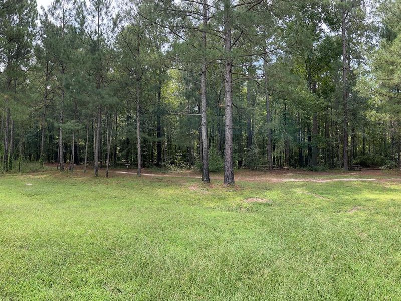
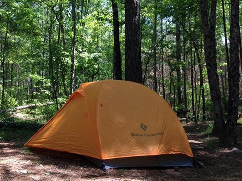
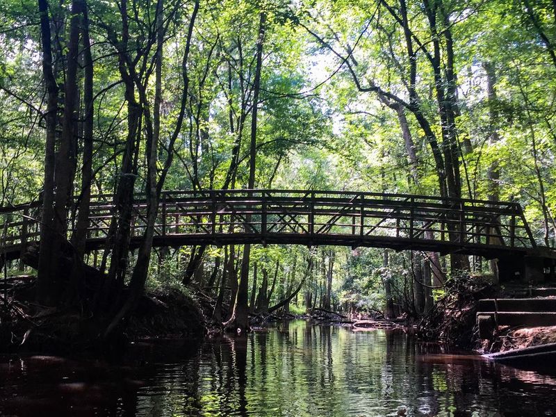
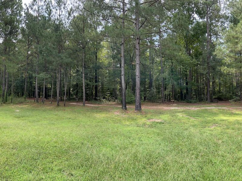
Longleaf Campground sits in a shaded upland forest of pines and hardwoods, elevated above Congaree's floodplain and protected from the park's frequent flooding events. All 14 walk-in sites include fire rings and picnic tables, set among trees that provide shade throughout much of the day. An open field in the campground's center offers wildlife viewing opportunities for birds, butterflies, and the occasional southern fox squirrel. Campers park in a gravel lot and walk a short distance to their sites. No vehicles are permitted beyond the parking area, and overnight stays in vehicles are prohibited. Two vault toilets serve the campground, but running water is not available on-site. Potable water can be filled 24/7 at the Harry Hampton Visitor Center, about half a mile up the road. The campground provides direct access to 27 miles of hiking trails. The 1.3-mile Longleaf Trail connects to the visitor center and the park's famous boardwalk through old-growth bottomland hardwood forest. Canoe and kayak launch sites are a 5-10 minute drive away for paddling the park's blackwater creeks.
Directions
Located just off the park entrance road, approximately half a mile before the Harry Hampton Visitor Center. From I-77, take Exit 5 onto SC Hwy 48 East/Bluff Road. Drive approximately 8 miles, then take a slight right onto Old Bluff Road. Follow Old Bluff Road for 4.5 miles to the park entrance.
Nearby Campgrounds
Amenities
| Water | No |
| Fires Allowed | Yes |
| Toilets | Yes |
| Dump Station | No |
| Wifi | — |
| Pets Allowed | Yes |
| Showers | No |
| Electric Hookups | — |
| Water Hookups | — |
| Sewer Hookups | — |
| Camp Store | — |
| Price | $15 - $25 |
Vehicle
| Max RV Length | — |
| Max Trailer Length | — |
| Big Rig Friendly | No |
| Pull Through Sites | No |
Contact
| Phone | +1 (803) 776-4396 |
Cell Service
| AT&T | None |
| Verizon | Yes |
| T-Mobile | None |
Availability
Photos


Community Posts
No posts yet. Be the first to share your experience!