Leroys Ferry Campground
Open year-round. Reopened December 19, 2025 after Hurricane Helene recovery. Reservations available through Recreation.gov or first-come, first-served.
Flood Watch issued October 10 at 8:39AM EDT until October 11 at 8:00AM EDT by NWS Columbia SC
* WHAT...Flash flooding caused by excessive rainfall continues to be possible. * WHERE...Portions of east central Georgia, including the following areas, Burke, Columbia, Lincoln, McDuffie and Richmond and central South Carolina, including the following areas, Aiken, Bamberg, Barnwell, Central Orangeburg, Edgefield, McCormick, Northwestern Orangeburg and Southeastern Orangeburg. * WHEN...Through Sunday morning. * IMPACTS...Excessive runoff may result in flooding of rivers, creeks, streams, and other low-lying and flood-prone locations. Creeks and streams may rise out of their banks. Flooding may occur in poor drainage and urban areas. * ADDITIONAL DETAILS... - Periods of heavy rainfall are possible today, with highest amounts expected in the CSRA and southern Midlands. Rainfall totals of 3-6" are possible from this morning through tonight. - http://www.weather.gov/safety/flood
Flood Advisory issued October 10 at 3:42PM EDT until October 10 at 5:45PM EDT by NWS Columbia SC
* WHAT...Urban area and small stream flooding caused by excessive rainfall is expected. * WHERE...Northwestern Burke County in east central Georgia... Central Columbia County in east central Georgia... Southeastern McDuffie County in east central Georgia... Richmond County in east central Georgia... West Central Aiken County in central South Carolina... Southwestern Edgefield County in central South Carolina... Southeastern McCormick County in central South Carolina... * WHEN...Until 545 PM EDT. * IMPACTS...Minor flooding in low-lying and poor drainage areas. Overflowing poor drainage areas. Ponding of water in urban or other areas is occurring or is imminent. * ADDITIONAL DETAILS... - At 342 PM EDT, Doppler radar indicated heavy rain due to thunderstorms. This will cause urban and small stream flooding. Radar estimated of between 1.5 and 2 inches of rain have fallen. - Additional rainfall amounts of 1 to 2 inches are expected over the area. This additional rain will result in minor flooding. - Some locations that will experience flooding include... North Augusta, Grovetown, Evans, Fort Gordon, Martinez, Augusta, Belvedere, Clearwater, Hephzibah, Harlem, South Augusta, Augusta Mall, Daniel Field, Village Plaza Shopping Center, Glendale, Summerville, Midtown, Augusta Regional Airport, Augusta National Golf Club and Riverwood. - This includes the following highways... Interstate 520 in South Carolina between mile markers 16 and 23. Interstate 20 in South Carolina between mile markers 0 and 13. Interstate 20 in Georgia between mile markers 184 and 201. Interstate 520 in Georgia between mile markers 1 and 15. - http://www.weather.gov/safety/flood
About
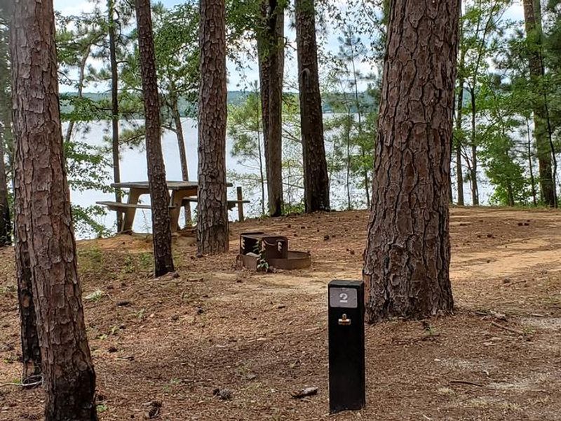
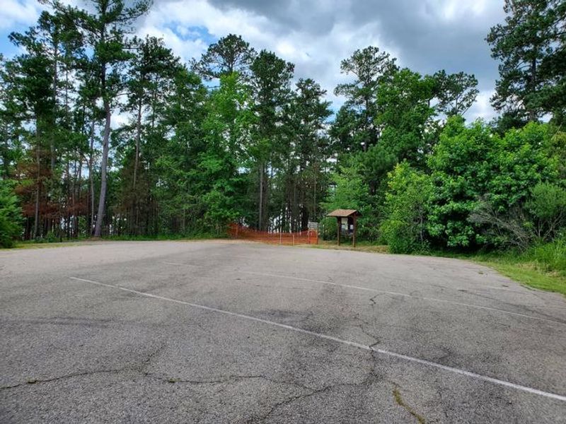
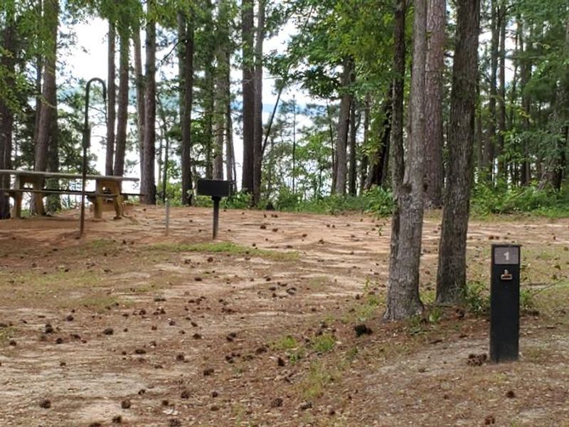
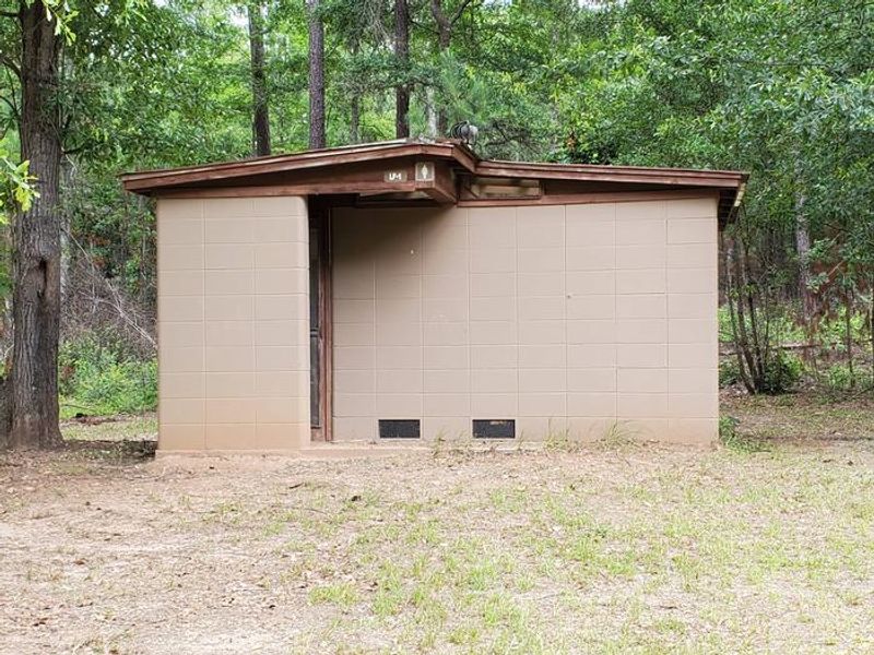
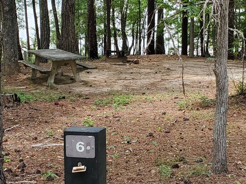
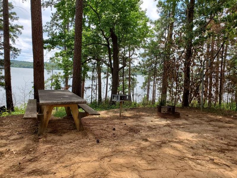
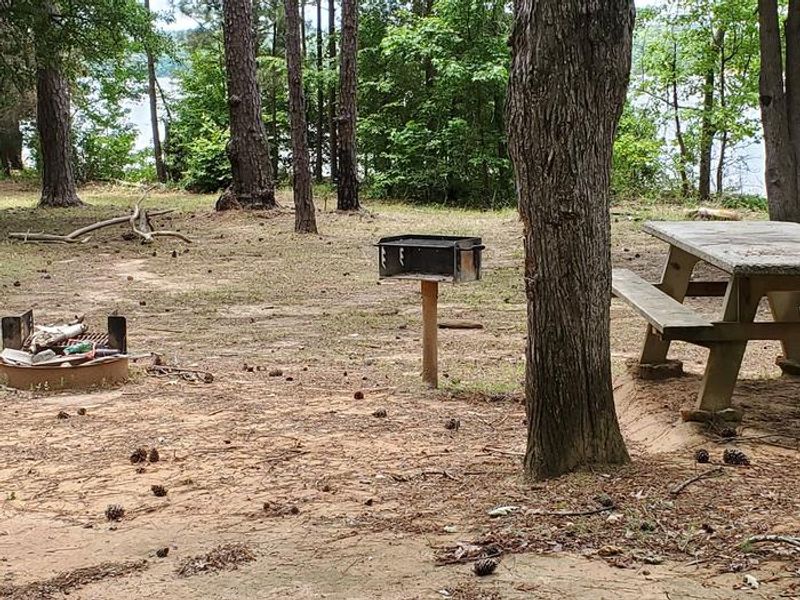
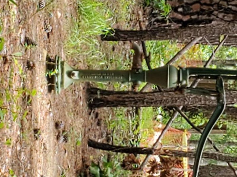
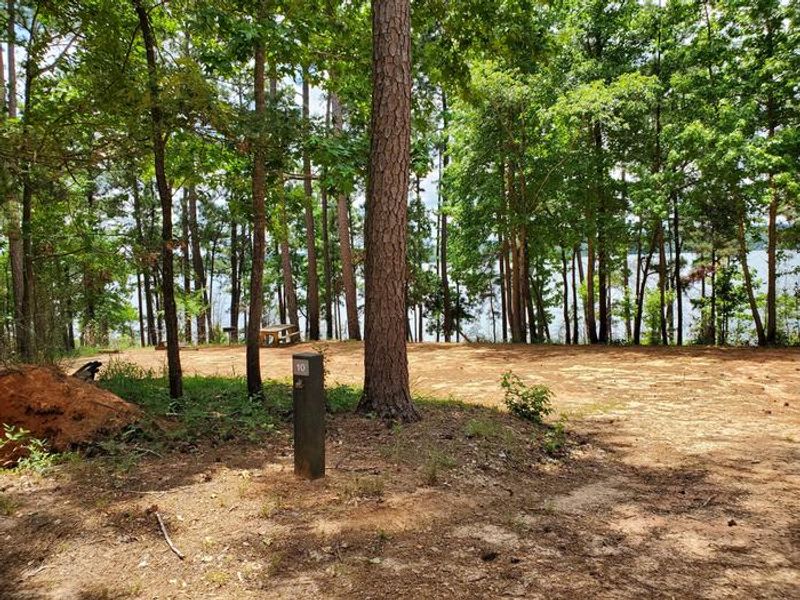
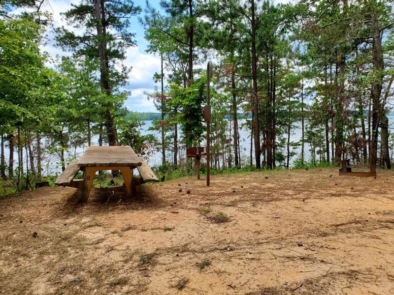
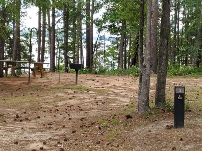
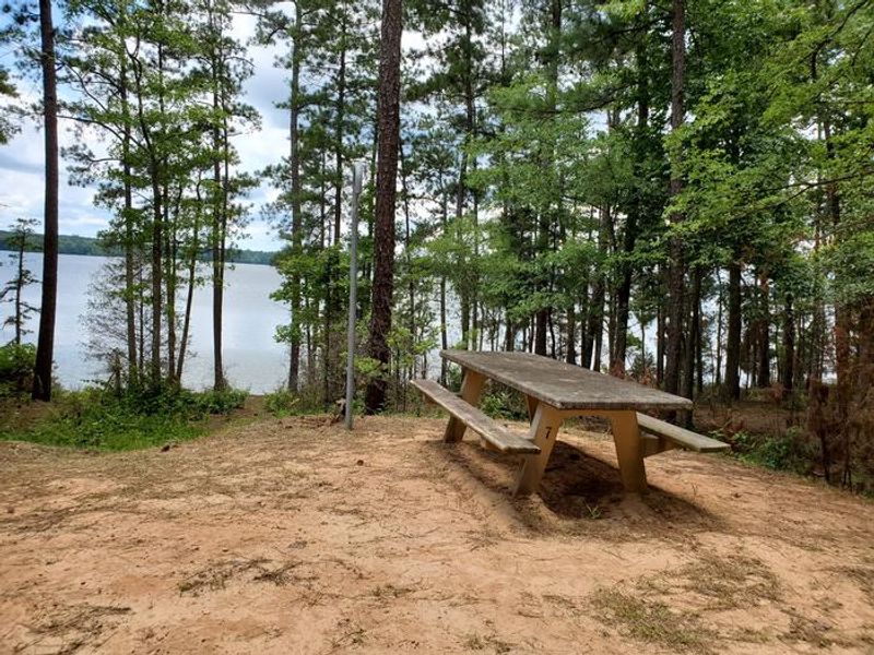
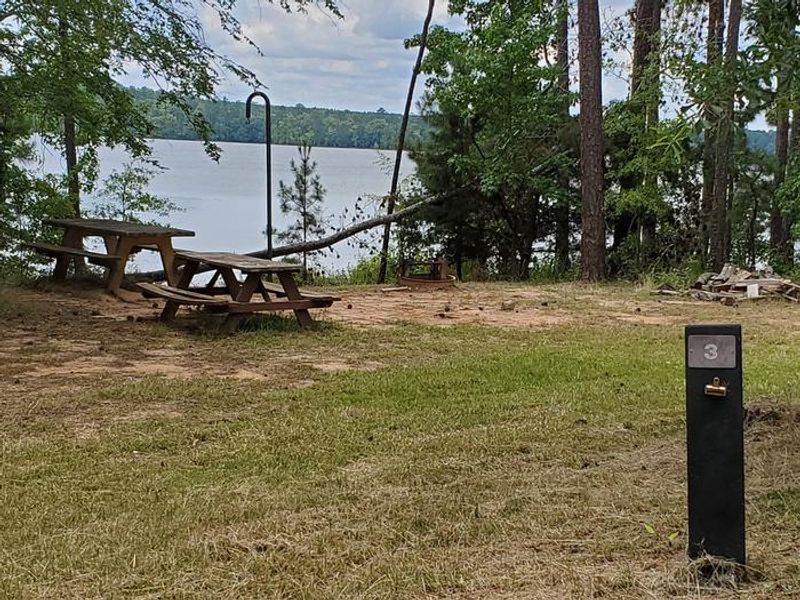
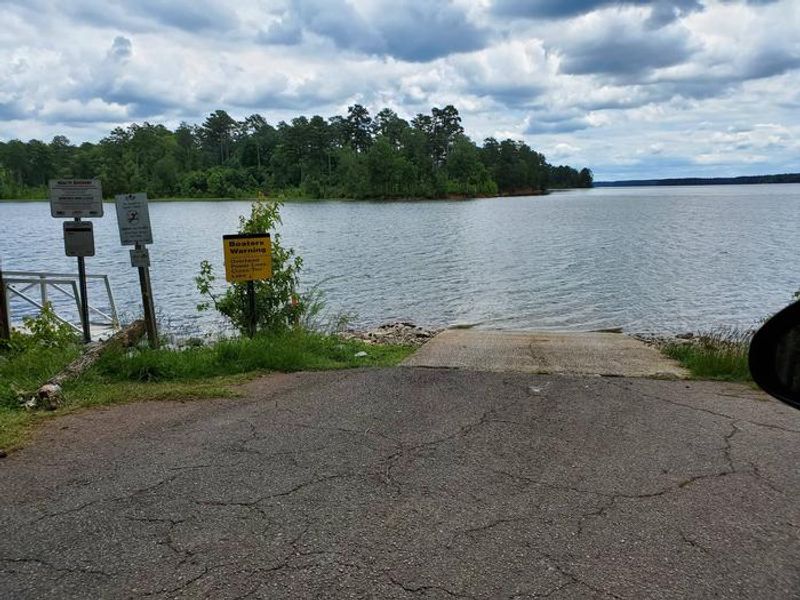
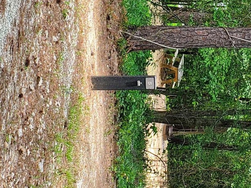
Leroys Ferry Campground sits on the quiet upper reaches of J. Strom Thurmond Lake (also known as Clarks Hill Lake), north of McCormick in a remote section of the South Carolina shoreline. The primitive campground offers 10 sites divided into two loops, each with a fire ring, grill, picnic table, and lantern holder. A boat ramp provides direct access to the 70,000-acre lake, popular for largemouth bass, striped bass, crappie, and catfish. This is a true primitive camping experience with no hookups, no potable water, and pack in/pack out trash requirements. Vault toilets serve the campground. A hand pump well provides non-potable water suitable for washing but not drinking. The remote location and lack of utilities keeps crowds low, making it appealing to anglers and paddlers seeking solitude on the upper lake. Alcohol is prohibited. Golf carts are permitted but ATVs and scooters are not allowed. Sites accommodate pop-up campers and tents; this is not suitable for large RVs.
Directions
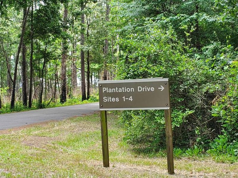
From McCormick, take HWY 28 SW for 6.1 miles. Keep left to continue on SC-81 N. Turn right on State Rd S-33-39 and continue to the town of Willington, where brown signs direct you to the campground.
Location
Amenities
| Water | No |
| Fires Allowed | Yes |
| Toilets | Yes |
| Dump Station | No |
| Wifi | No |
| Pets Allowed | Yes |
| Showers | No |
| Electric Hookups | — |
| Water Hookups | — |
| Sewer Hookups | — |
| Camp Store | No |
| Price | $10 |
Vehicle
| Max RV Length | — |
| Max Trailer Length | — |
| Big Rig Friendly | No |
| Pull Through Sites | No |
Contact
| Phone | +1 (800) 533-3478 |
Cell Service
| AT&T | None |
| Verizon | None |
| T-Mobile | None |
Useful Links
| View on Recreation.gov |
Availability
Photos
Community Posts
No posts yet. Be the first to share your experience!