Lahontan State Recreation Area Dispersed Campgrounds
Open year-round for first-come, first-served dispersed beach camping. No advance reservations required. Showers and flush toilets at developed areas are closed October through May. 14-day camping limit within any 30-day period enforced.
Red Flag Warning issued October 9 at 11:23AM PDT until October 10 at 9:00PM PDT by NWS Reno NV
The National Weather Service in Reno NV has issued a Red Flag Warning in effect from 11 AM to 9 PM PDT Saturday. * AFFECTED AREA...Fire Weather Zones 274 Southern Mono County, 420 Northern Sierra Front including Carson City, Douglas, Storey, Southern Washoe, Western Lyon, and Far Southern Lassen Counties, 421 Southern Sierra Front including Alpine, Northern Mono, Southern Lyon, and Western Mineral Counties, 423 West Humboldt Basin in Pershing County, and 429 Lahontan Basin including Churchill and Eastern Mineral Counties. * TIMING...From 11 AM to 9 PM PDT Saturday. * WINDS...Southwest winds 15 to 25 mph with gusts 35 to 45 mph. * RELATIVE HUMIDITY...Minimum Humidity between 14 to 22 percent. * DURATION...3 to 6 hours. * IMPACTS...The combination of gusty winds and prolonged dry conditions, even in areas where humidity may not be as low, can cause fires to rapidly grow in size and intensity before first responders can contain them.
Lake Wind Advisory issued October 9 at 12:47PM PDT until October 10 at 11:00PM PDT by NWS Reno NV
* WHAT...Southwest winds 15 to 25 mph with gusts up to 40 mph. Waves 2 to 3 feet on Lake Tahoe and Pyramid Lake. * WHERE...Greater Lake Tahoe Area, Greater Reno-Carson City-Minden Area, and Western Nevada Basin and Range including Pyramid Lake. * WHEN...From 5 AM to 11 PM PDT Saturday. * IMPACTS...Gusty winds and rough waves on area lakes will create hazardous conditions for small craft.
About
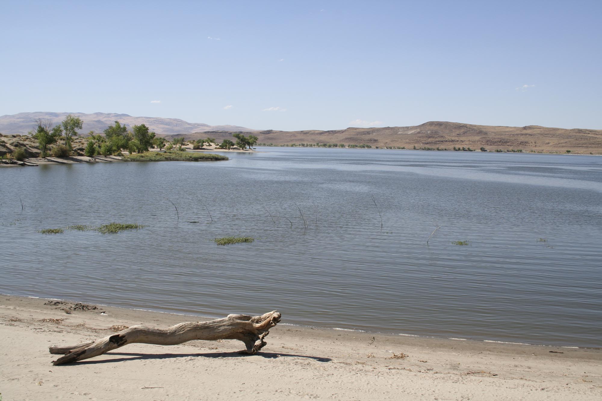
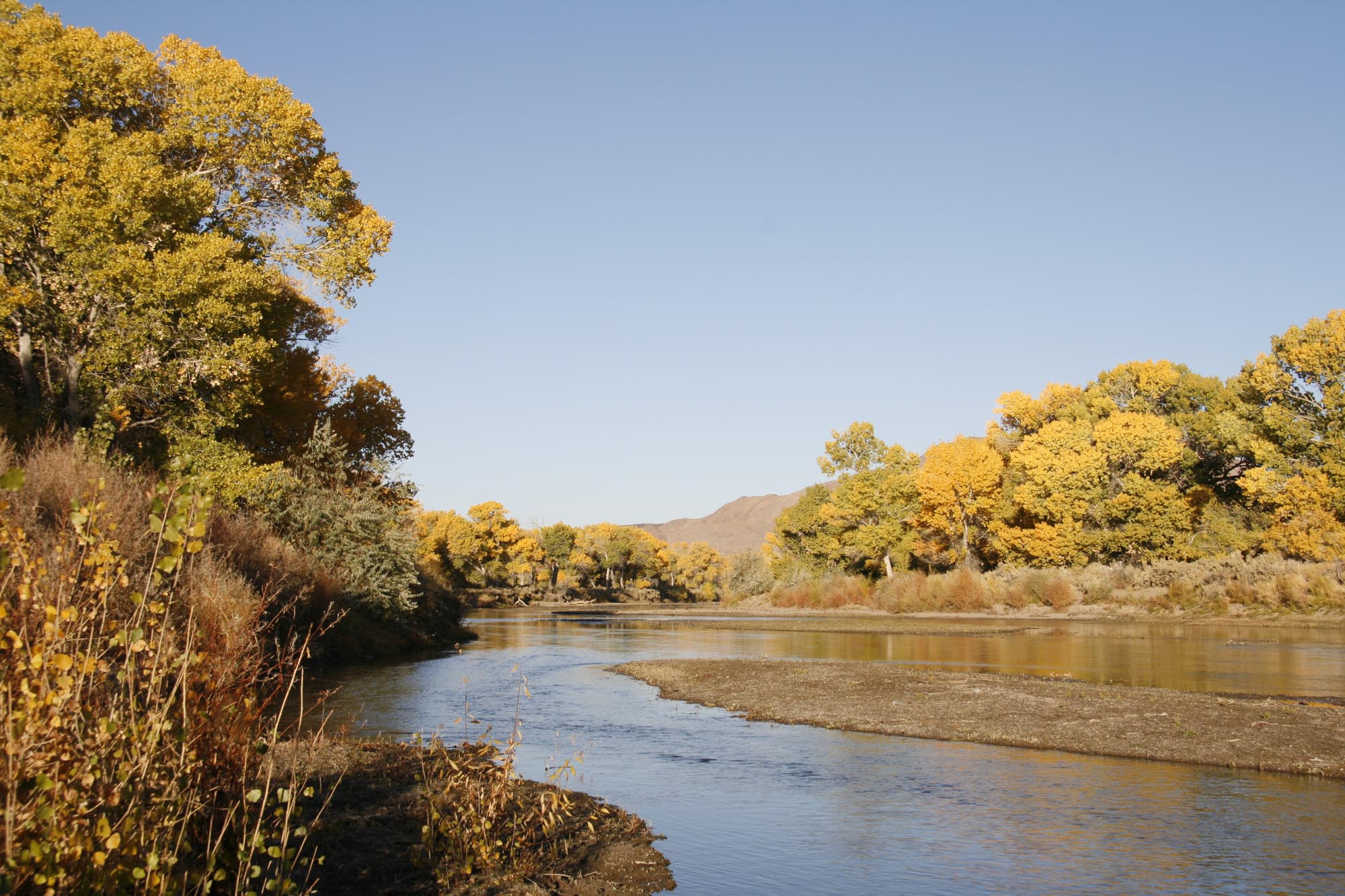
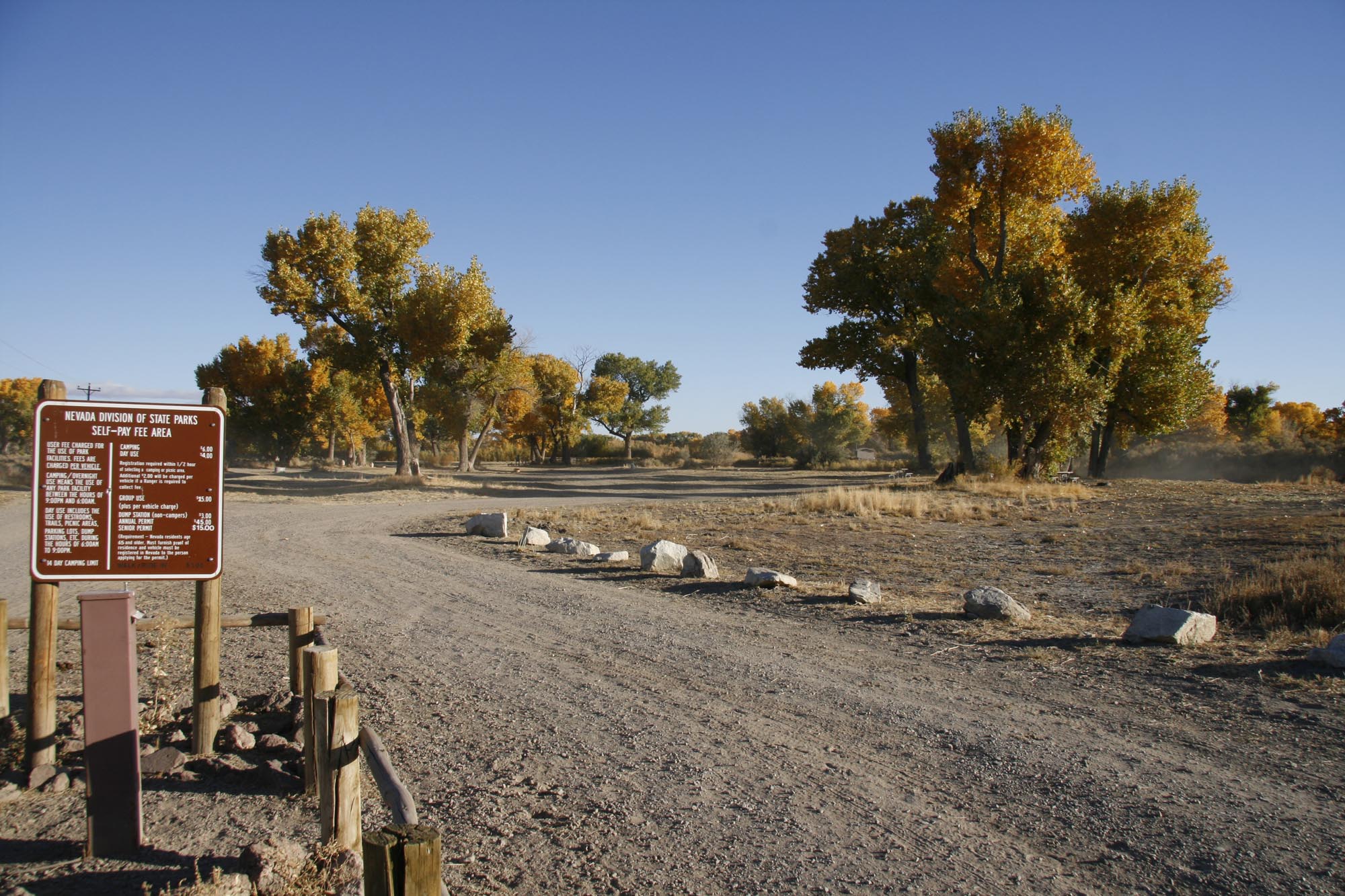
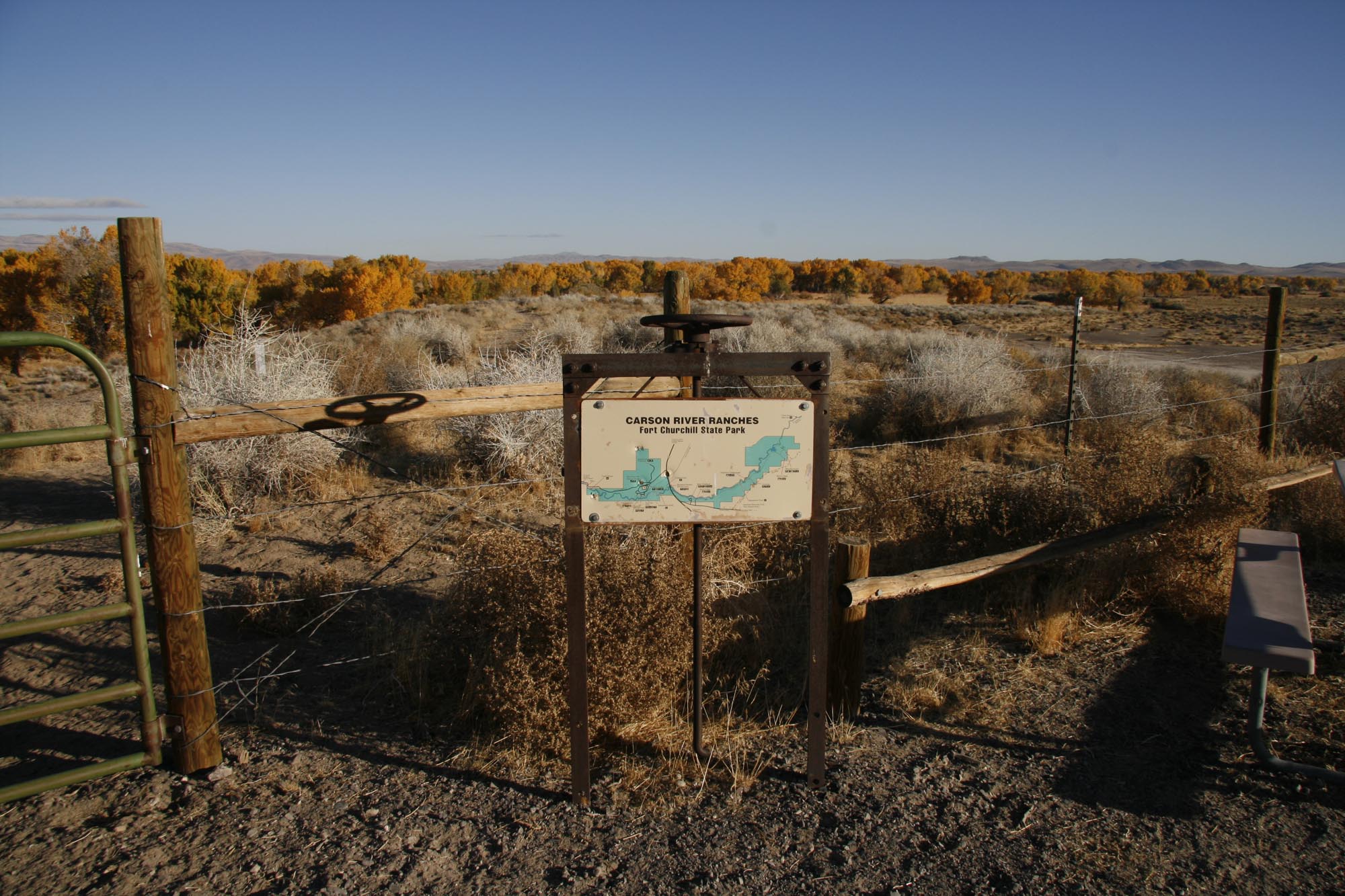
Lahontan State Recreation Area encompasses 69 miles of shoreline around Lake Lahontan, a desert reservoir created by the Lahontan Dam on the Carson River. The dispersed camping areas allow visitors to camp primitively on the beach throughout most of the recreation area, with the exception of day-use zones and boat launch areas. This is true dispersed camping with no assigned sites, tables, or fire rings at most beach locations. The landscape is classic Great Basin high desert with sagebrush-covered hills surrounding the reservoir. Access is via a network of gravel and sandy roads that wind around the lake. While many areas accommodate RVs and trailers, the terrain can be uneven and sandy, making some spots challenging for larger rigs or those without four-wheel drive. Sanitary dump stations are available near both park entrances for RV users. The reservoir offers fishing for walleye, white bass, catfish, and wipers, plus boating and swimming when water levels permit. Note that water levels fluctuate significantly. The park is approximately 18 miles west of Fallon, Nevada.
Directions
From Silver Springs, head west on US-50. The main park entrance is located at 1971 Fir Ave, Silver Springs, NV 89429. Multiple access points exist around the reservoir via gravel roads.
Nearby Campgrounds
Amenities
| Water | No |
| Fires Allowed | — |
| Toilets | No |
| Dump Station | Yes |
| Wifi | No |
| Pets Allowed | Yes |
| Showers | No |
| Electric Hookups | — |
| Water Hookups | — |
| Sewer Hookups | — |
| Camp Store | No |
| Price | $10 |
Vehicle
| Max RV Length | — |
| Max Trailer Length | — |
| Big Rig Friendly | No |
| Pull Through Sites | No |
Contact
| lsra@parks.nv.gov | |
| Phone | +1 (775) 577-2226 |
Cell Service
| AT&T | Yes |
| Verizon | None |
| T-Mobile | Yes |
Availability
Photos

Community Posts
No posts yet. Be the first to share your experience!