Julian Price Campground
The campground is currently closed and reopens May 22, 2026. For 2026, only Loop A will operate and advance reservations through Recreation.gov are required. There will be no first-come, first-served camping. The shower house is closed for the entire 2026 season. The dump station and water filling station remain operational. Roadwork is expected throughout the 2026 camping season.
Flood Warning issued October 11 at 5:49AM EDT until October 11 at 8:00AM EDT by NWS Blacksburg VA
* WHAT...Urban areas and small streams flooding caused by excessive rainfall continues. * WHERE...South Central Ashe County in northwestern North Carolina... Watauga County in northwestern North Carolina... Southwestern Wilkes County in northwestern North Carolina... * WHEN...Until 800 AM EDT. * IMPACTS...Flooding of rivers, creeks, streams, and other low-lying and flood-prone locations is imminent or occurring. Streams continue to rise due to excess runoff from earlier rainfall. * ADDITIONAL DETAILS... - At 547 AM EDT, Doppler radar and automated rain gauges indicated light to moderate rainfall. However, flooding is ongoing in the warned area due to between 4 and locally 7 inches of rain that fell since Saturday morning. - This includes the following streams and drainages... Fall Creek, Norris Fork, Flat Branch, Elk Creek, Mill Creek, Dugger Creek, Little Dugger Creek, Laurel Fork, Dutch Creek, Meat Camp Creek, Brushy Fork, Grassy Creek and Left Prong Stony Fork. Additional rainfall amounts up to 0.5 inches are possible in the warned area. - Some locations that will experience flooding include... Boone, Blowing Rock, Deep Gap, Todd, Foscoe, Seven Devils and Aho. - For flooding safety information, please visit http://www.weather.gov/safety/flood
Flood Watch issued October 11 at 12:40AM EDT until October 11 at 8:00PM EDT by NWS Blacksburg VA
* WHAT...Flooding caused by excessive rainfall continues to be possible. * WHERE...Portions of North Carolina, including the following areas, Alleghany NC, Ashe, Surry, Watauga and Wilkes and southwest Virginia, including the following areas, Carroll, Floyd, Grayson and Patrick. * WHEN...Through this evening. * IMPACTS...Excessive runoff may result in flooding of rivers, creeks, streams, and other low-lying and flood-prone locations. Creeks and streams may rise out of their banks. Low-water crossings may be flooded. Storm drains and ditches may become clogged with debris. * ADDITIONAL DETAILS... - As the remnants of Isaias move northward into the lower Ohio Valley, periods of rain will continue. Heavier rainfall will continue in short bursts through the day. Additional rainfall amounts of 1 to 3 inches, along with what has already fallen will keep the threat of flooding around. - http://www.weather.gov/safety/flood
Flood Advisory issued October 11 at 5:18AM EDT until October 11 at 11:00AM EDT by NWS Blacksburg VA
* WHAT...Flooding caused by excessive rainfall is expected. * WHERE...Ashe County in northwestern North Carolina... Watauga County in northwestern North Carolina... * WHEN...Until 1100 AM EDT. * IMPACTS...Flooding in low-lying and poor drainage areas. Dangerous flows over low-water crossings. Water over a few roadways, possibly including Todd Railroad Grade Road along the South Fork of the New River. * ADDITIONAL DETAILS... - At 515 AM EDT, Doppler radar and automated rain gauges indicated heavy rain. Minor flooding is already occurring in the advisory area. Between 4 and 7 inches of rain have fallen. - This includes the following streams and drainages... Cove Creek, Big Laurel Creek, Big Horse Creek, Call Creek, Beaver Creek, Beaverdam Creek, Brushy Fork and Beech Creek. - Some locations that will experience flooding include... Jefferson, West Jefferson, Beech Mountain, Lansing, Ashland, Glendale Springs and Sugar Grove. - For flooding safety information, please visit http://www.weather.gov/safety/flood
About
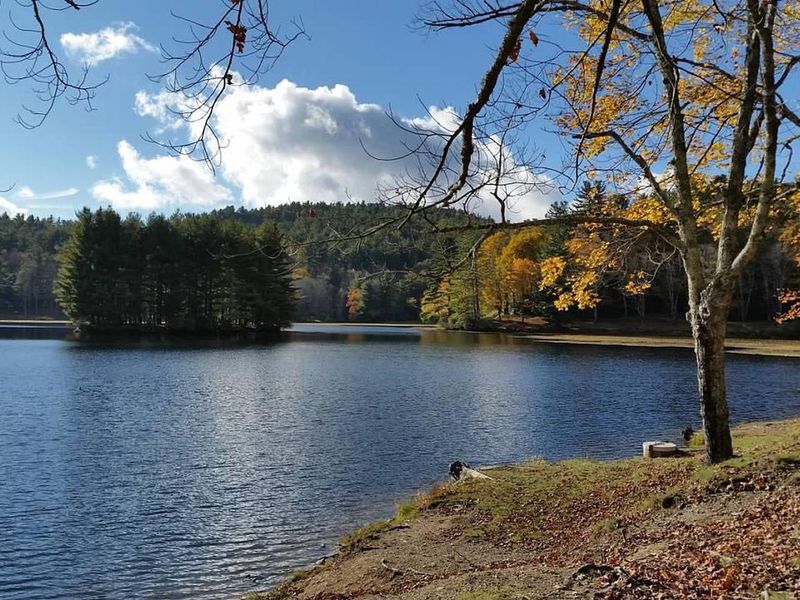
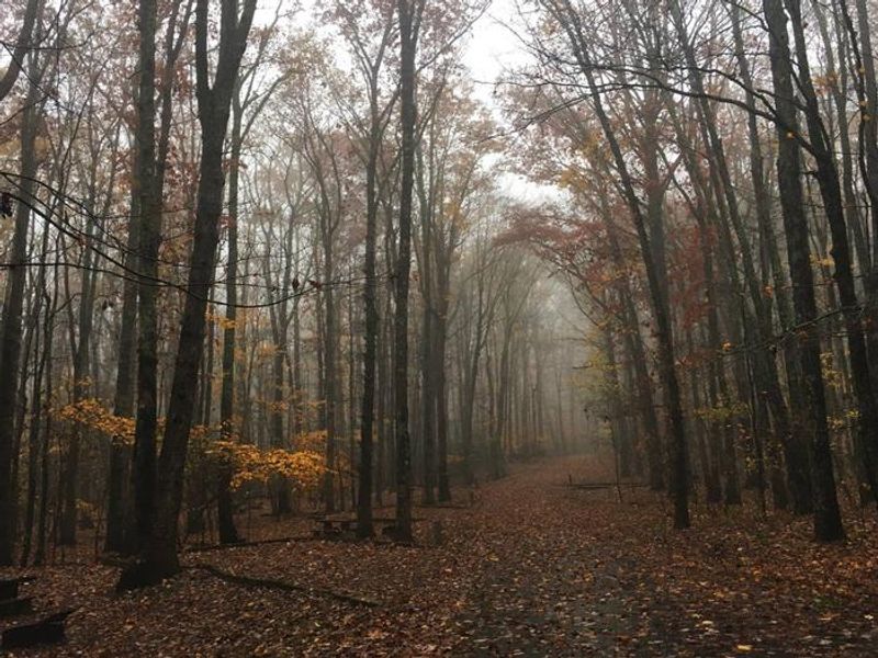
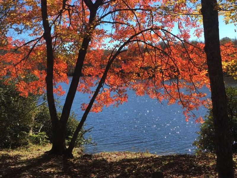
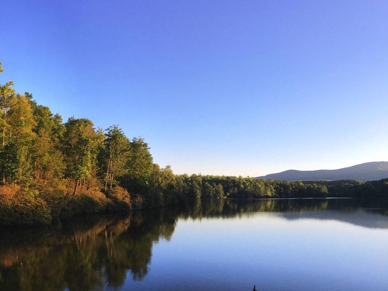
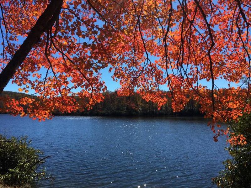
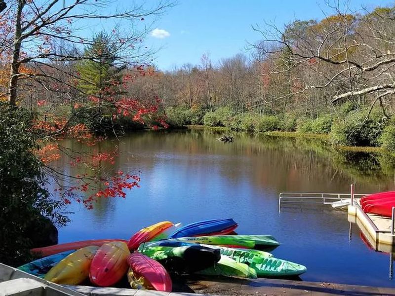
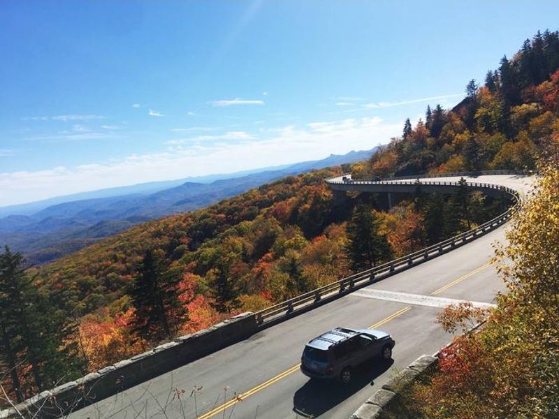
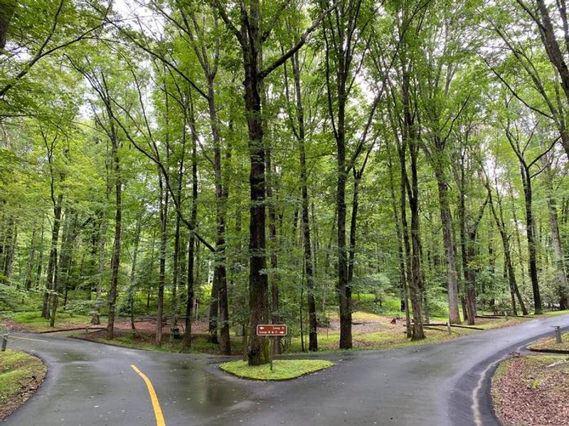
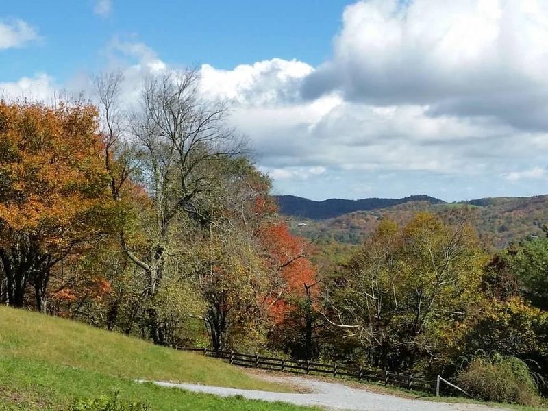
Julian Price Campground is one of the most popular camping destinations along the Blue Ridge Parkway, located at Milepost 297 in the lush mountain terrain of Watauga County, North Carolina. The campground sits adjacent to Price Lake, a pristine 47-acre lake perfect for kayaking, canoeing, and fishing. Surrounding forests feature hemlock, white pine, oak, hickory, and birch trees, with wildflowers in spring and vibrant foliage in autumn. Hikers have excellent trail access directly from the campground. The Price Lake Trail loops around the water's edge, while the Boone Fork Trail leads to Hebron Falls. The Tanawha Trail connects to the nearby Cascades waterfall and Moses Cone Memorial Park. Wildlife viewing opportunities include black bears, wild turkeys, grouse, owls, and hawks. The campground is equipped with flush toilets, potable water, and an RV dump station. Each campsite has a picnic table, fire ring or grill, and lantern pole. Non-motorized boat rentals are available at Price Lake. The nearby town of Blowing Rock offers additional dining and shopping options.
Directions
From Boone, NC: Take US-321 S for 6.3 miles to the Blue Ridge Parkway connector, turn right, then left onto the Parkway southbound for 4.4 miles. From Blowing Rock, NC: Take US-221 S for 1.6 miles to the Parkway connector, turn right, then left onto the Parkway southbound for about 2 miles. From Asheville, NC: Take I-40 E to exit 72 for US-70 E, continue 11 miles, turn left onto US-221 N for 21.6 miles to the Parkway connector, turn right, then left onto the Parkway northbound for approximately 22 miles.
Nearby Campgrounds
Amenities
| Water | Yes |
| Fires Allowed | Yes |
| Toilets | Yes |
| Dump Station | Yes |
| Wifi | — |
| Pets Allowed | Yes |
| Showers | No |
| Electric Hookups | — |
| Water Hookups | — |
| Sewer Hookups | — |
| Camp Store | — |
| Price | $30 |
Vehicle
| Max RV Length | 92ft |
| Max Trailer Length | 92ft |
| Big Rig Friendly | — |
| Pull Through Sites | No |
Contact
| Phone | +1 (828) 963-5911 |
Cell Service
| AT&T | None |
| Verizon | Yes |
| T-Mobile | None |
Availability
Photos
Community Posts
No posts yet. Be the first to share your experience!