Linville Falls Campground
Closed for the entire 2026 season due to Hurricane Helene damage. The campground, visitor center, picnic area, and spur road experienced significant destruction from the storm. Recovery work is classified as Phase 3 with a target completion of December 2026.
Flash Flood Warning issued October 11 at 12:24AM EDT until October 11 at 6:15AM EDT by NWS Greenville-Spartanburg SC
FFWGSP The National Weather Service in Greenville-Spartanburg has issued a * Flash Flood Warning for... Burke County in western North Carolina... * Until 615 AM EDT. * At 1224 AM EDT, Earlier today, a prolonged period of steady rainfall produced 3-6 inches across Burke County, saturating area soils. Doppler radar shows several rounds of torrential rainfall have moved through the area from the south, capable of producing 1.5-3 inches of rainfall on top of saturated soils. This rainfall will cause new areas of Minor flooding to develop. * Areas of greatest concern include along Hunting Creek near Morganton; poorly draining areas of Morganton and other urban areas along US 70; Silver Creek south of Glen Alpine; and Henry and Jacob forks of the South Fork Catawba River near South Mountains State Park. * Additional areas of Minor Flooding are expected to develop over the next 1-3 hours. Please obey all barricades and heed all evacuation orders from local Emergency Management officials. Only 12 inches of water can strand your vehicle or sweep it away. HAZARD...Flash flooding caused by thunderstorms. SOURCE...Radar and automated gauges. IMPACT...Expect flash flooding of low-lying areas near streams, including parks, trails, low-water crossings, boat- access areas, and campgrounds. Significant flooding of poor-drainage areas are likely, impacting travel. Low-lying roadways are likely to be flooded, requiring barricades. * Some locations that may experience flash flooding include... Morganton, Longview, Valdese, Salem, Icard, Drexel, Hildebran, Connelly Springs, Rutherford College and Glen Alpine.
Flash Flood Warning issued October 10 at 11:02PM EDT until October 11 at 2:00AM EDT by NWS Greenville-Spartanburg SC
FFWGSP The National Weather Service in Greenville-Spartanburg has issued a * Flash Flood Warning for... Southeastern Avery County in western North Carolina... Northwestern Burke County in western North Carolina... West Central Caldwell County in western North Carolina... * Until 200 AM EDT. * At 1102 PM EDT, Doppler radar indicated heavy rain across the warned area. Between 3 and 5 inches of rain have fallen over the past 12 hours. Additional rainfall amounts of 2 to 3 inches are possible in the warned area. Steady rises are occurring in area streams including the Linville River, Wilson Creek, Johns River, Mulberry Creek and Warrior Fork Creek. Flash flooding is ongoing or expected to begin shortly. HAZARD...Flash flooding caused by heavy rain. SOURCE...Radar indicated. IMPACT...Flash flooding of small creeks and streams, urban areas, highways, streets and underpasses as well as other poor drainage and low-lying areas. * Some locations that will experience flash flooding include... Crossnore, Table Rock, B.R. Parkway-Linville Falls To Grandfather, Linville Falls, B.R. Parkway-Little Switzerland To Linville, Lake James State Park, Grandfather Mountain State Park, Lake James, Jonas Ridge and Edgemont.
Flood Watch issued October 10 at 10:47PM EDT until October 11 at 2:00PM EDT by NWS Greenville-Spartanburg SC
* WHAT...Flash flooding caused by excessive rainfall continues to be possible. * WHERE...In Northeast Georgia, the following counties: Elbert, Franklin, Habersham, Hart, Rabun and Stephens. In western North Carolina, the following counties: Avery, Buncombe, Burke, Caldwell, McDowell, Polk, Rutherford, Haywood, Henderson, Macon, Mitchell, Jackson, Transylvania and Yancey. In Upstate South Carolina, the following counties: Abbeville, Anderson, Central Greenville, Greater Oconee, Greater Pickens, Greenville, Greenwood, Laurens, Spartanburg, and Oconee. * WHEN...Through Sunday afternoon. * IMPACTS...Excessive runoff may result in flooding of rivers, creeks, streams, and other low-lying and flood-prone locations. Creeks and streams may rise out of their banks. Low-water crossings may be flooded. * ADDITIONAL DETAILS... - As the remnants of Isaias move northward into the lower Ohio Valley, periods of rain will continue. High rainfall rates will continue in short bursts through the overnight hours. By Sunday morning, total accumulations of generally 5 to 8 inches are expected along the southeast-facing Blue Ridge Escarpment, with 2 to 5 inches elsewhere in the watch area. - http://www.weather.gov/safety/flood
About
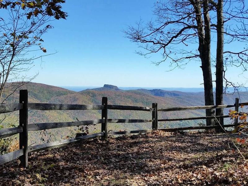
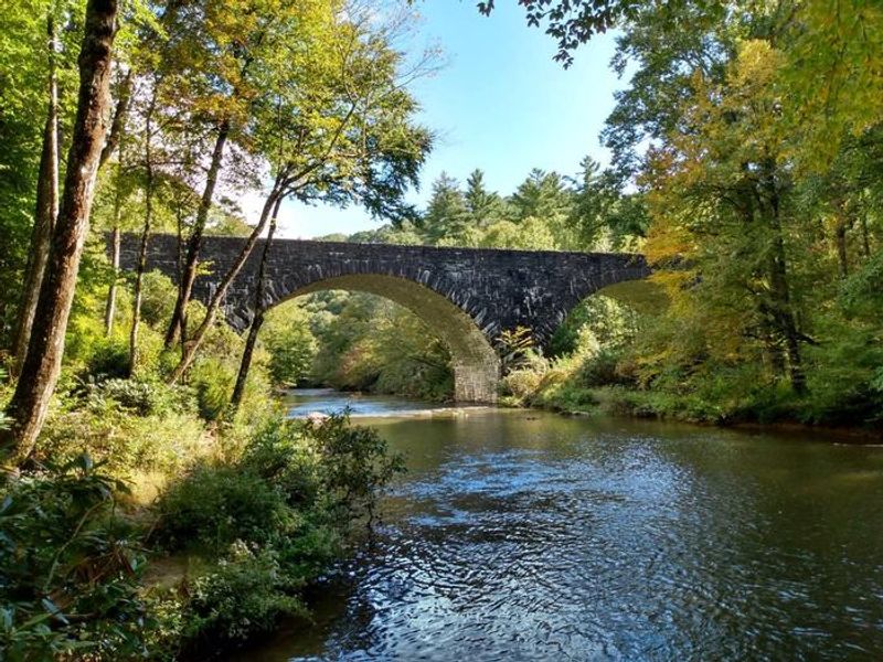
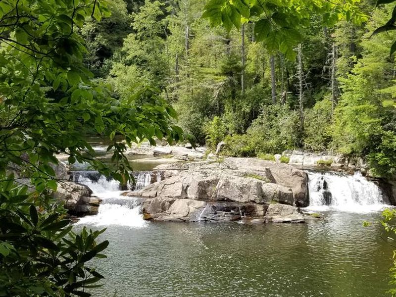
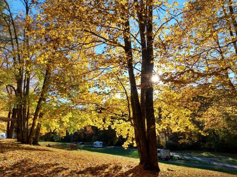
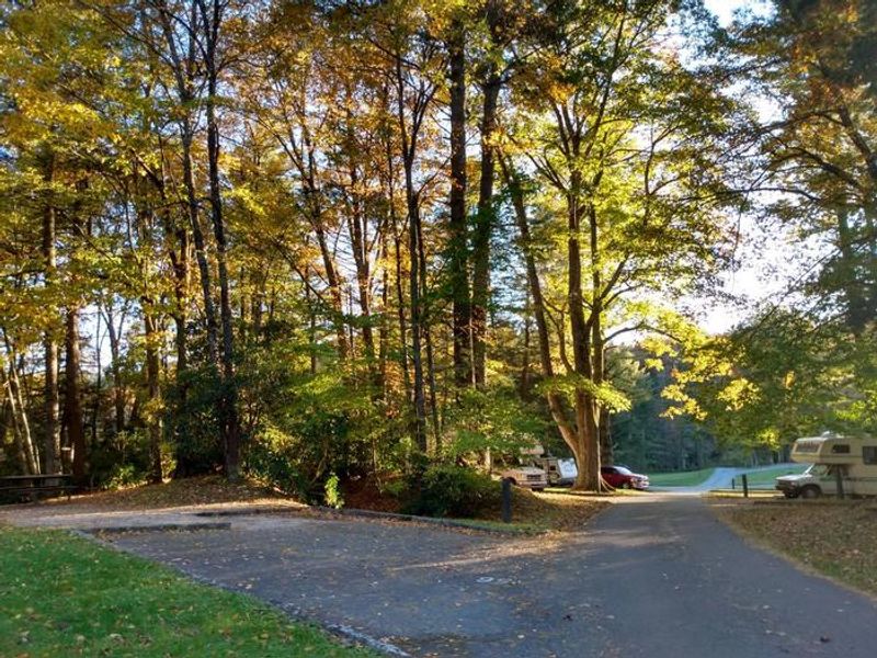
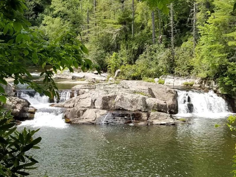
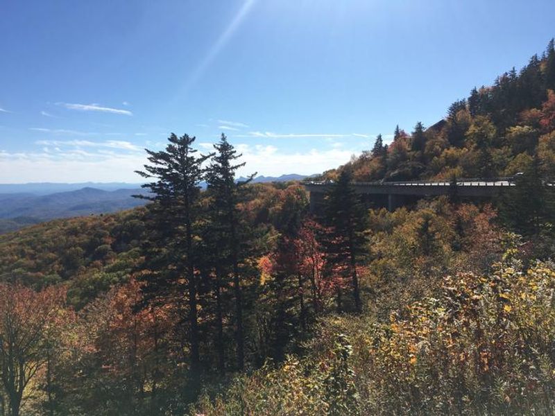
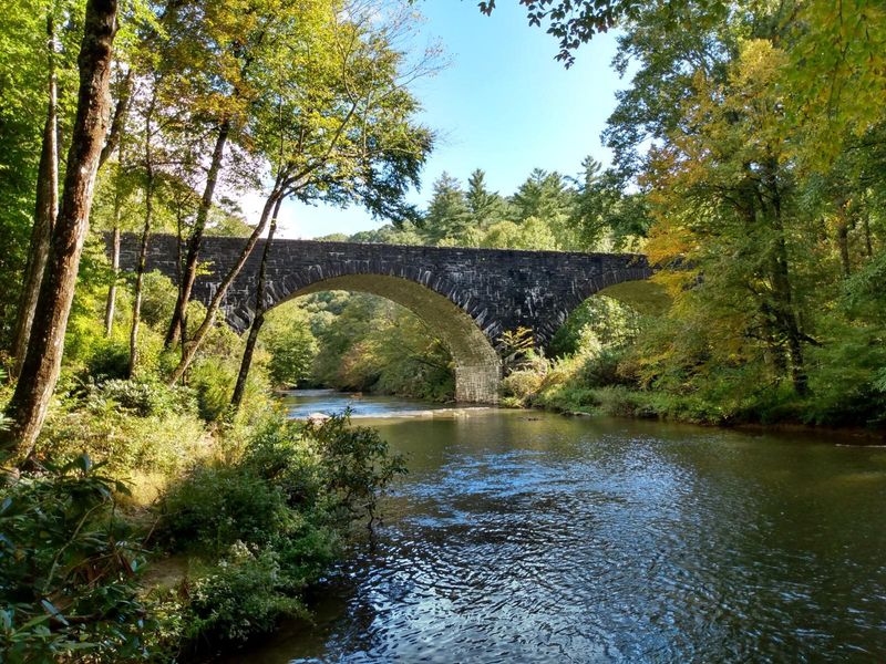
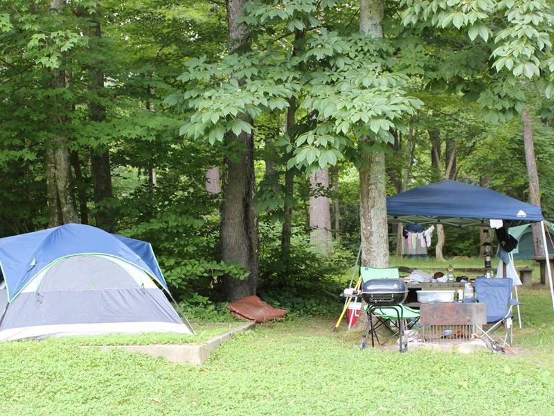
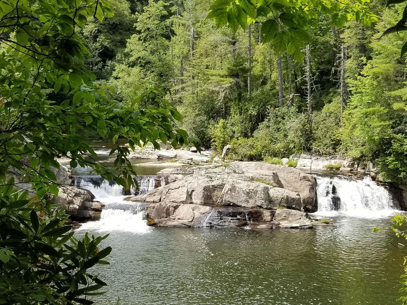
Nestled in a dense pine and hemlock canopy along the Blue Ridge Parkway in North Carolina, Linville Falls Campground provides access to some of the most dramatic scenery in the Appalachians. The Linville River winds beside the campground and is stocked with trout. A one-mile hike leads to three overlooks of the stunning Linville Falls, where water cascades 45 feet into the gorge below. The campground offers 64 total sites: 39 available for advance reservation through Recreation.gov and 25 first-come, first-served. Two group sites accommodate 12-20 people. Sites include tent-only, standard nonelectric, and RV nonelectric options with varying maximum vehicle lengths up to 28 feet. Each site has a fire ring/grill and picnic table. Facilities include flush toilets, potable water, and a dump station. There are no showers or hookups. Two ADA-accessible campsites are available with accessible grills, tables, and nearby restrooms. Bears frequent the area, so proper food storage is required. Only USDA-certified heat-treated firewood is permitted.
Directions
From I-40 East, take Highway 221 north to the Blue Ridge Parkway at Linville Falls. Go north for one mile to Linville Falls Spur Road, located at Milepost 317, and continue a half mile to the campground.
Nearby Campgrounds
Amenities
| Water | Yes |
| Fires Allowed | Yes |
| Toilets | Yes |
| Dump Station | Yes |
| Wifi | No |
| Pets Allowed | Yes |
| Showers | No |
| Electric Hookups | — |
| Water Hookups | — |
| Sewer Hookups | — |
| Camp Store | No |
| Price | $30 - $45 |
Vehicle
| Max RV Length | 50ft |
| Max Trailer Length | 42ft |
| Big Rig Friendly | No |
| Pull Through Sites | No |
Contact
| Phone | +1 (828) 765-7818 |
Cell Service
| AT&T | None |
| Verizon | None |
| T-Mobile | None |
Availability
Photos
Community Posts
No posts yet. Be the first to share your experience!