Johns River Road Backcountry Camping
Open year-round. A backcountry camping permit via Recreation.gov is required and must be printed and carried. Check-in is 3:00 PM, check-out is 12:00 PM. Permits are first-come, first-served. Nearby Parkway sections between mileposts 292.1-294.5 are closed for construction with a signed detour available.
Flood Watch issued October 10 at 1:30PM EDT until October 11 at 8:00PM EDT by NWS Blacksburg VA
* WHAT...Flooding caused by excessive rainfall continues to be possible. * WHERE...Portions of North Carolina, including the following areas, Alleghany NC, Ashe, Surry, Watauga and Wilkes and southwest Virginia, including the following areas, Carroll, Floyd, Grayson and Patrick. * WHEN...Through Sunday evening. * IMPACTS...Excessive runoff may result in flooding of rivers, creeks, streams, and other low-lying and flood-prone locations. Creeks and streams may rise out of their banks. Low-water crossings may be flooded. Storm drains and ditches may become clogged with debris. Extensive street flooding and flooding of creeks and rivers are possible. * ADDITIONAL DETAILS... - The remnants of Isaias will bring widespread rainfall along the crest of the southern Blue Ridge from Floyd County, Virginia to Watauga county, North Carolina. Widespread rainfall totals of 2-4 inches with locally higher totals in the 5-6 range will be possible, especially for areas like Meadows of Dan, Boone, and Blowing Rock. These higher totals may lead to isolated instances of landslides along slopes that have been modified by humans like embankments or cut slopes. These areas may also see increased rises on local streamflows that may lead to flooding across low-water crossings. - http://www.weather.gov/safety/flood
Wind Advisory issued October 10 at 1:27PM EDT until October 11 at 11:00AM EDT by NWS Blacksburg VA
* WHAT...East winds 15 to 25 mph with gusts up to 55 mph expected. * WHERE...In North Carolina, Ashe and Watauga Counties. In Virginia, Grayson, Smyth, and Tazewell Counties. In West Virginia, Mercer, Summers, and Western Greenbrier Counties. * WHEN...From 5 PM this afternoon to 11 AM EDT Sunday. * IMPACTS...Gusty winds will blow around unsecured objects. Tree limbs could be blown down and a few power outages may result. * ADDITIONAL DETAILS...Strong easterly to southeasterly winds from the remnants of Isaias will move over the region today into Sunday, which may lead to downed trees and power poles and subsequently power outages across higher terrain locations from NW North Carolina to SE West Virginia.
Flood Advisory issued October 10 at 9:39PM EDT until October 11 at 3:30AM EDT by NWS Blacksburg VA
* WHAT...Flooding caused by excessive rainfall is expected. * WHERE...South Central Ashe County in northwestern North Carolina... Watauga County in northwestern North Carolina... Southwestern Wilkes County in northwestern North Carolina... * WHEN...Until 330 AM EDT. * IMPACTS...Minor flooding in low-lying and poor drainage areas. Dangerous flows over low-water crossings. Overflowing poor drainage areas. * ADDITIONAL DETAILS... - At 936 PM EDT, Doppler radar indicated bands of moderate to heavy rain moving north across the area. Minor flooding is ongoing or expected to begin shortly in the advisory area. Between 1 and 4.5 inches of rain have fallen since early Saturday afternoon. - This includes the following streams and drainages... Laurel Fork, Left Prong Stony Fork, Norris Fork, Dutch Creek, Grassy Creek, Flat Branch, Mill Creek, Brushy Fork, Dugger Creek, Fall Creek, Meat Camp Creek, Elk Creek and Little Dugger Creek. Additional rainfall amounts up to 3 inches are expected over the area through early Sunday mornikng. This additional rain will result in minor flooding. - Some locations that will experience flooding include... Boone, Blowing Rock, Deep Gap, Todd, Foscoe, Seven Devils and Aho. - http://www.weather.gov/safety/flood
About
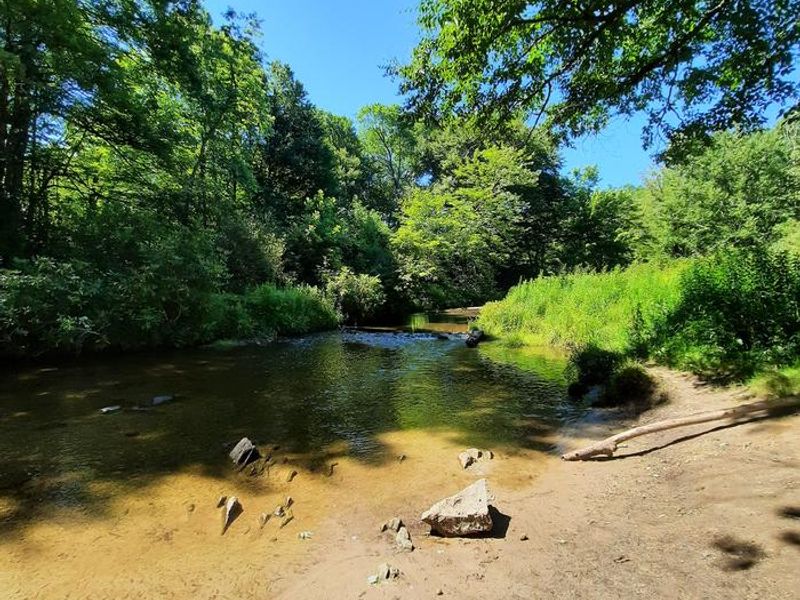
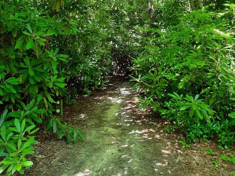
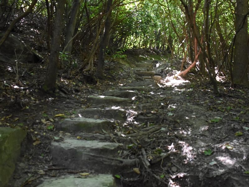
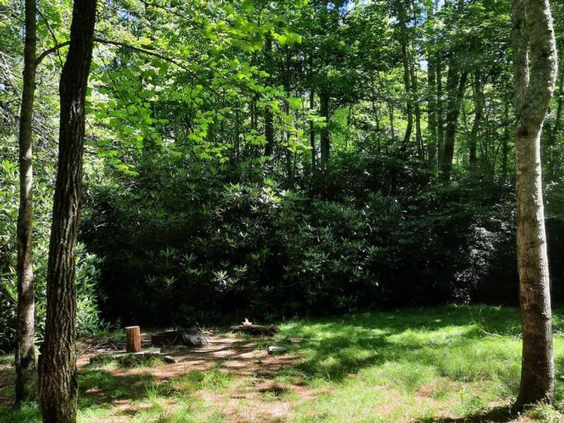
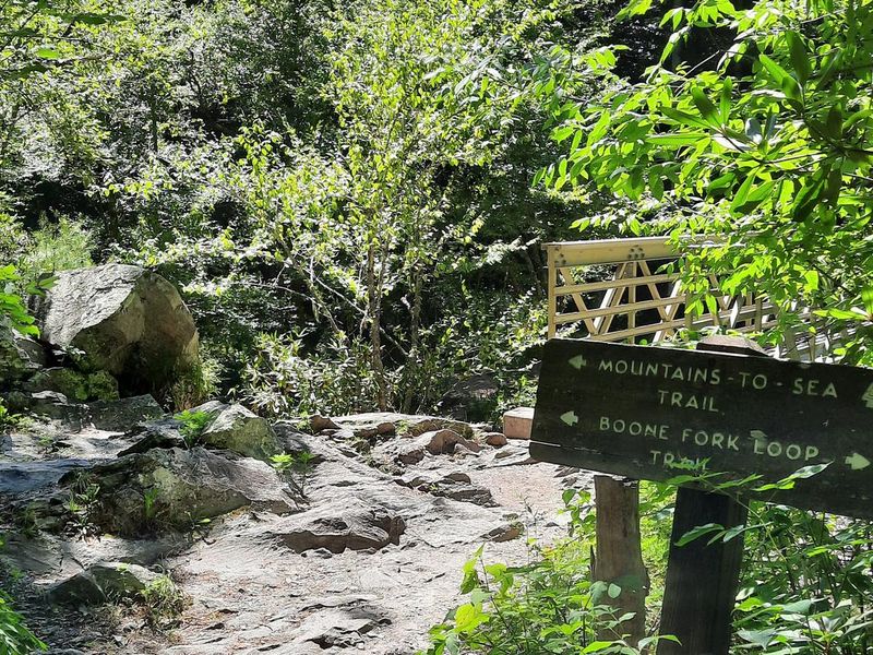
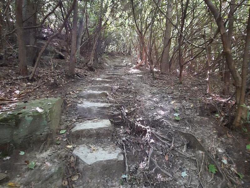
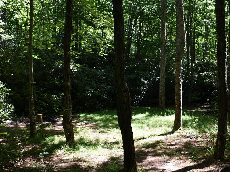
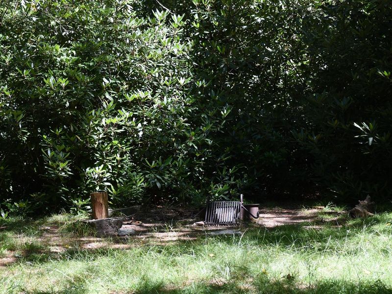
Old Johns River Road Backcountry Camping is a primitive camping area on the Blue Ridge Parkway near Blowing Rock, North Carolina. Located along the Mountains to Sea Trail within Julian Price Memorial Park, this backcountry destination offers two designated campsites, each equipped with a fire ring. The maximum capacity is 6 people per site with a 3-night stay limit. Access requires hiking in via the strenuous 4.9-mile Boone Fork Trail from the Julian Price Park Picnic Area, which features stream crossings, trail ladders, and the scenic Hebron Colony Falls. Alternatively, campers can walk in via Old Johns River Road between mileposts 296 and 297. The terrain is rugged with mixed hardwood forest and rhododendron thickets. This is true backcountry camping with no facilities. There are no toilets, potable water, or trash service. Human waste must be buried at least 6 inches deep and 100 feet from any stream. All trash must be packed out. Stream water is available but requires purification. Black bears frequent the area, so approved bear canisters or proper food hanging (10 feet high, 4 feet from trunk) is mandatory. Cell phone service is unlikely.
Directions
Trailhead parking is at the Julian Price Memorial Park Picnic Area between mileposts 296 and 297 on the Blue Ridge Parkway. From there, hike the Boone Fork Trail or walk Old Johns River Road to reach the backcountry sites.
Nearby Campgrounds
Amenities
| Water | No |
| Fires Allowed | Yes |
| Toilets | No |
| Dump Station | No |
| Wifi | No |
| Pets Allowed | Yes |
| Showers | No |
| Electric Hookups | — |
| Water Hookups | — |
| Sewer Hookups | — |
| Camp Store | No |
| Price | $0 |
Vehicle
| Max RV Length | — |
| Max Trailer Length | — |
| Big Rig Friendly | No |
| Pull Through Sites | No |
Contact
| blri_campgrounds@nps.gov | |
| Phone | +1 (828) 276-2300 |
Cell Service
| AT&T | None |
| Verizon | Yes |
| T-Mobile | Yes |
Availability
Photos
Community Posts
No posts yet. Be the first to share your experience!