Indian Creek Campground
Currently closed for the season. Opens June 12, 2026 and closes September 14, 2026. All sites are reservable through Recreation.gov.
About
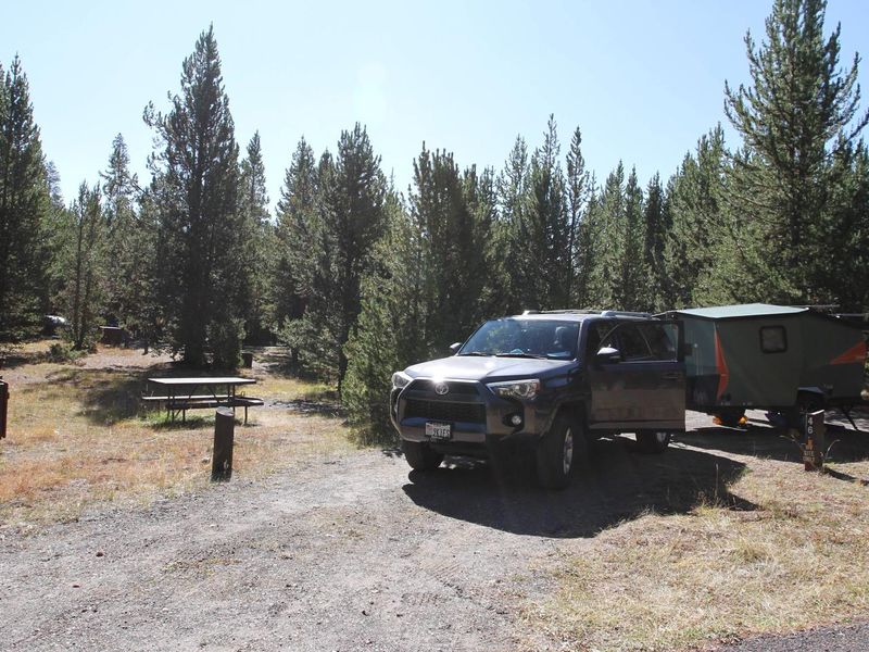
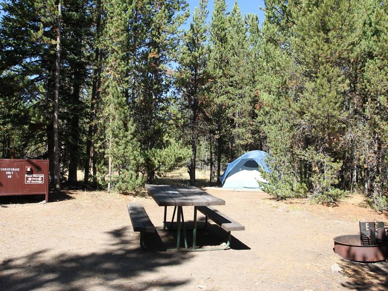
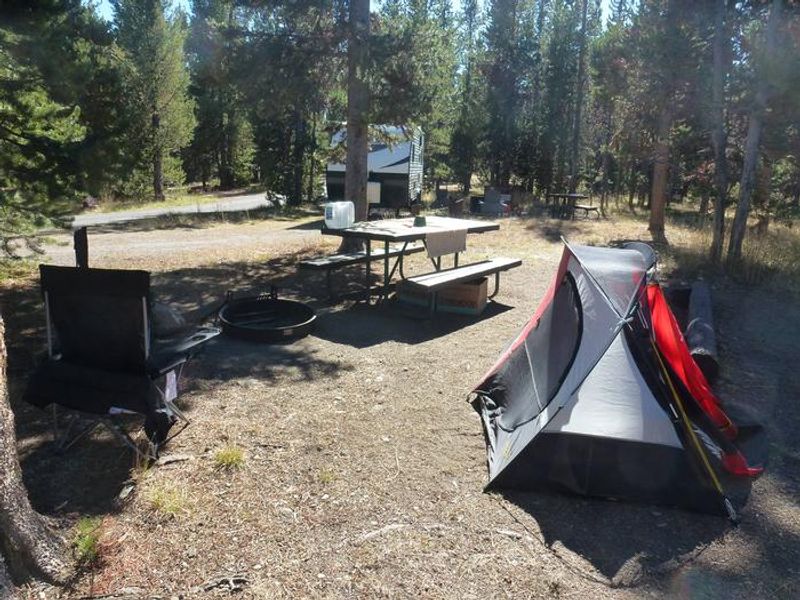
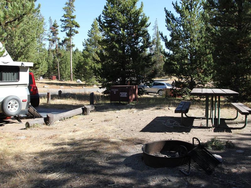
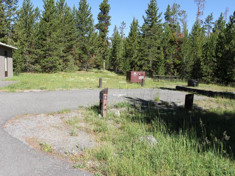
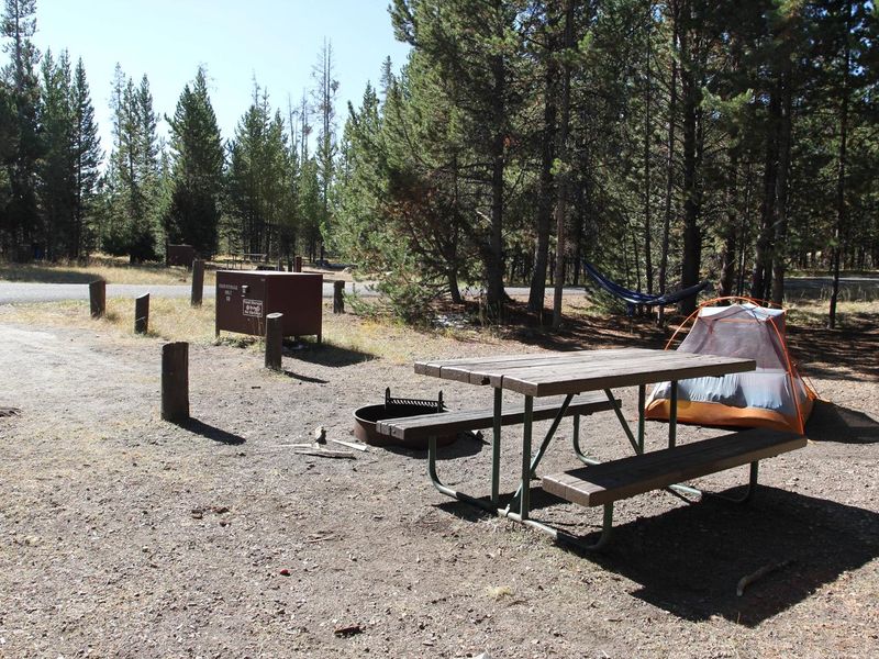
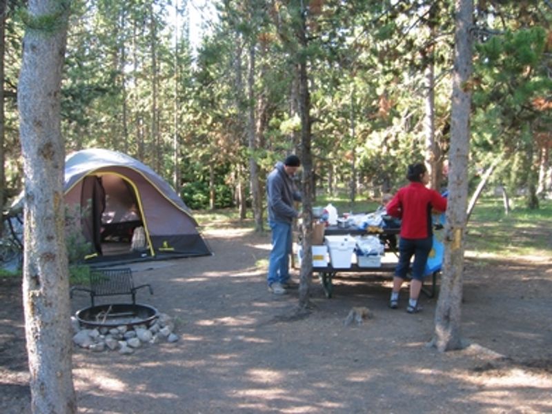
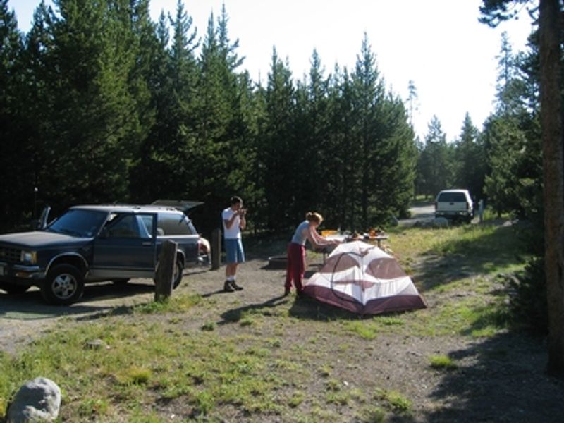
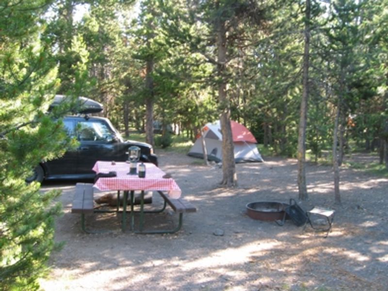
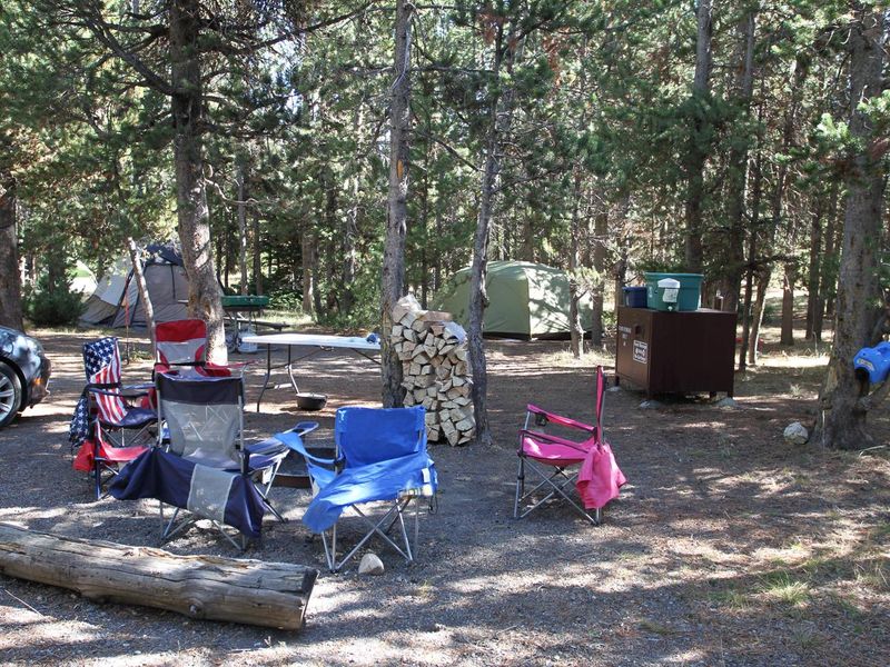
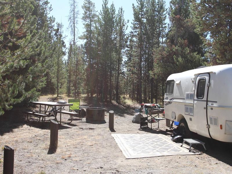
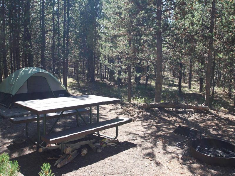
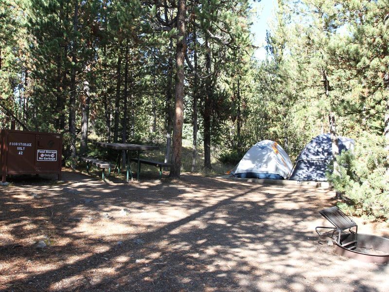
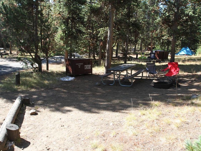
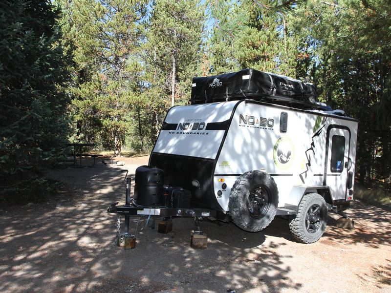
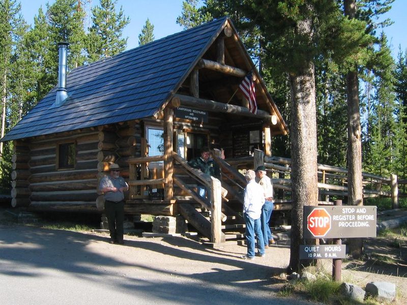
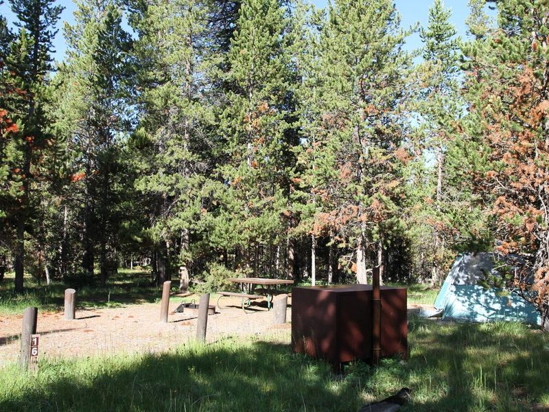
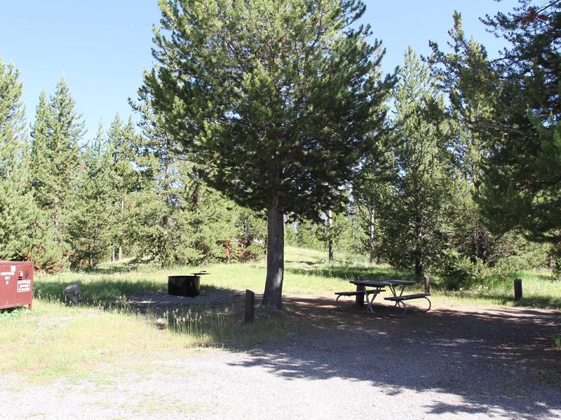
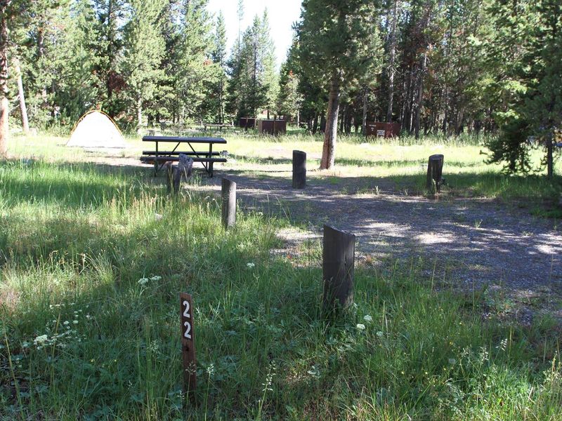
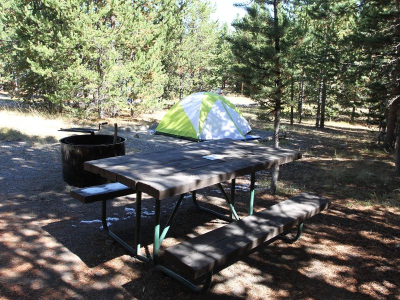
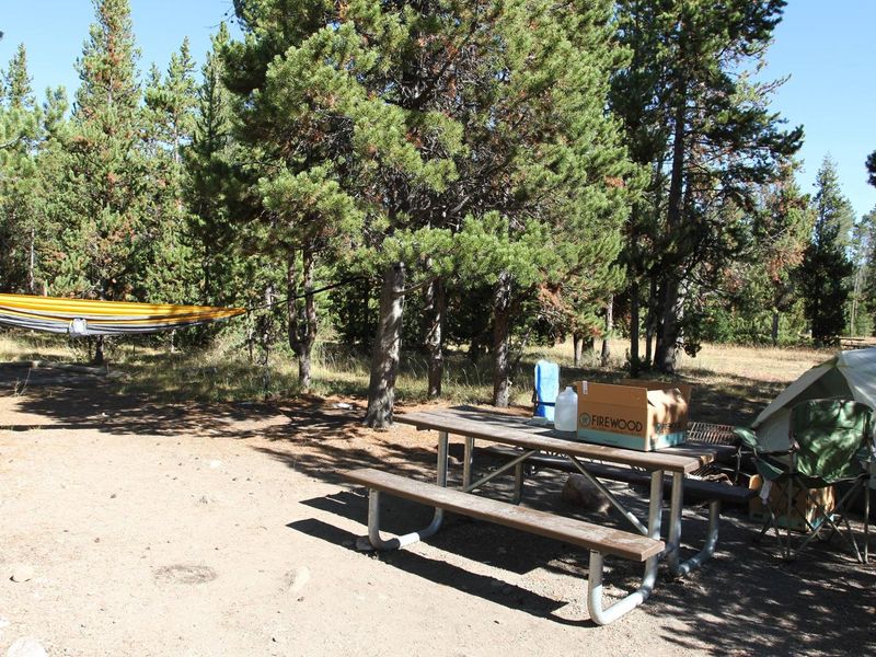
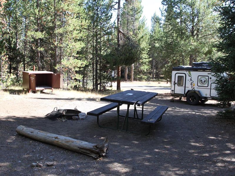
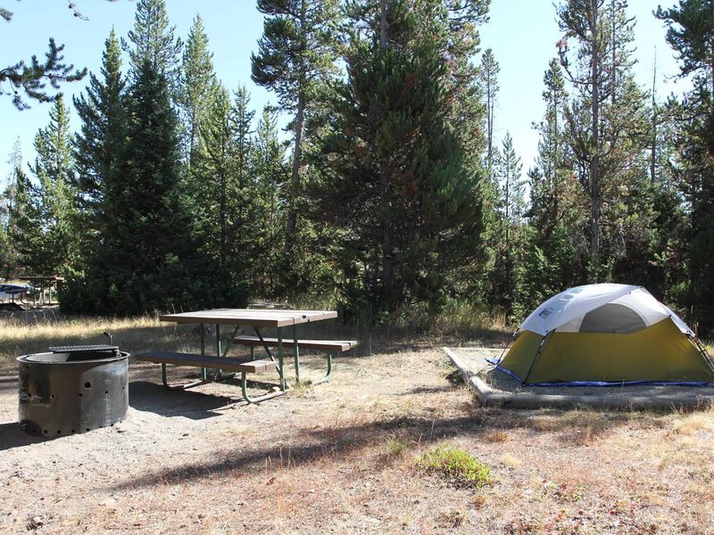
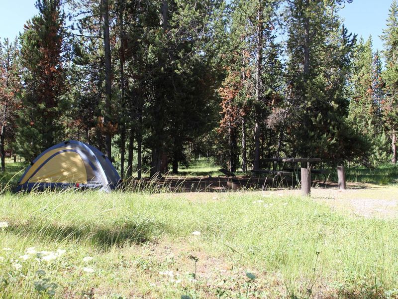
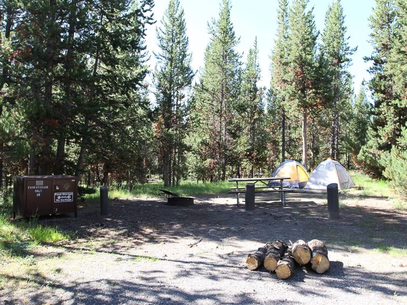
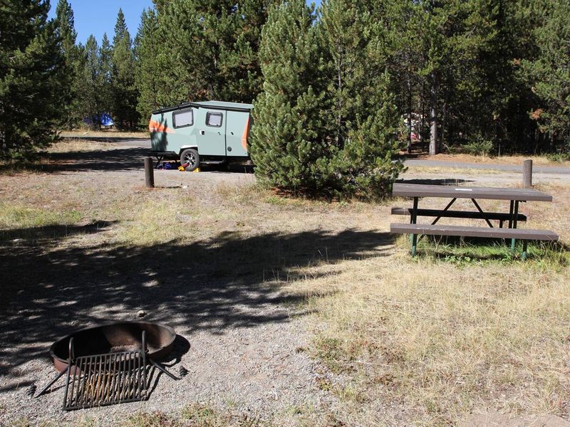
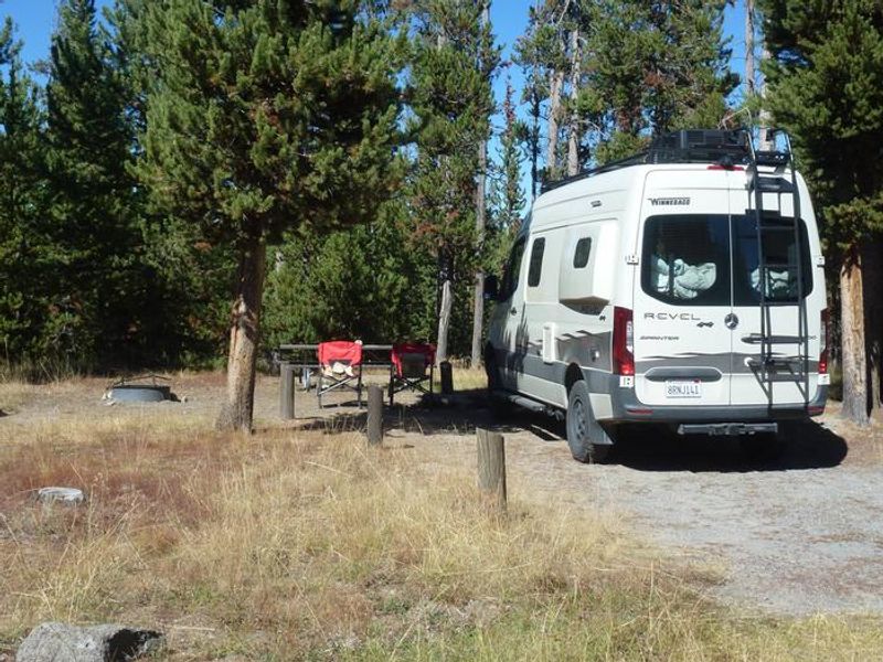
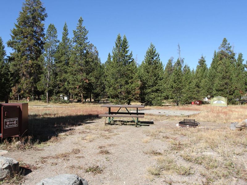
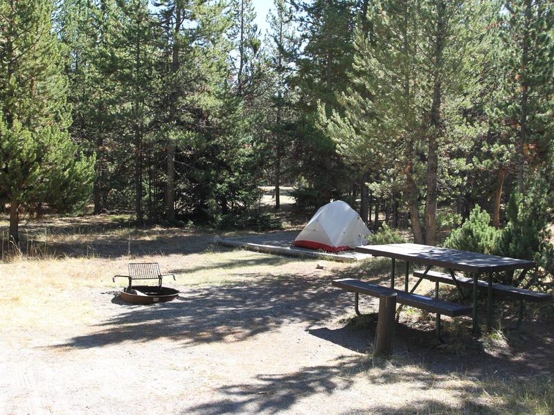
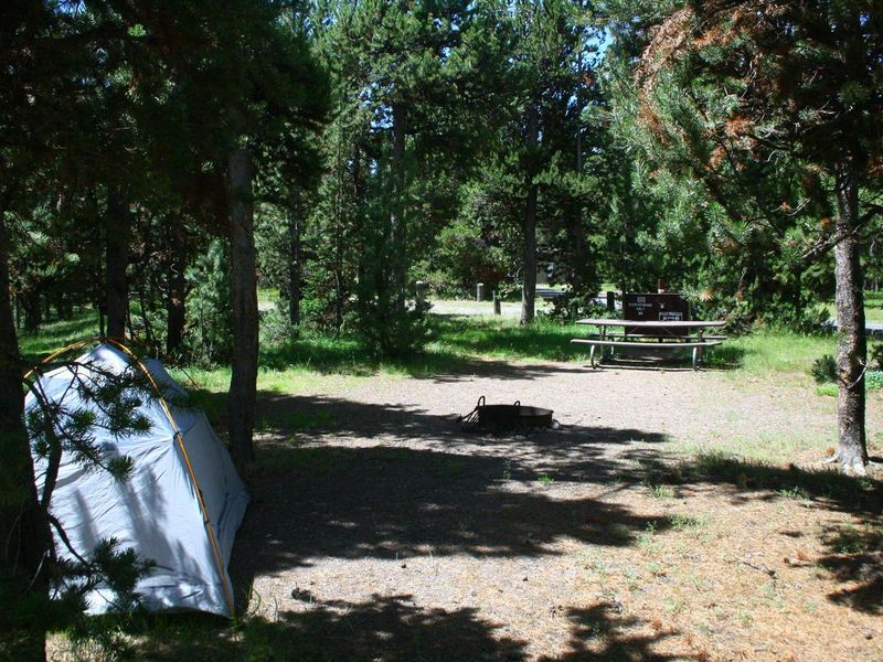
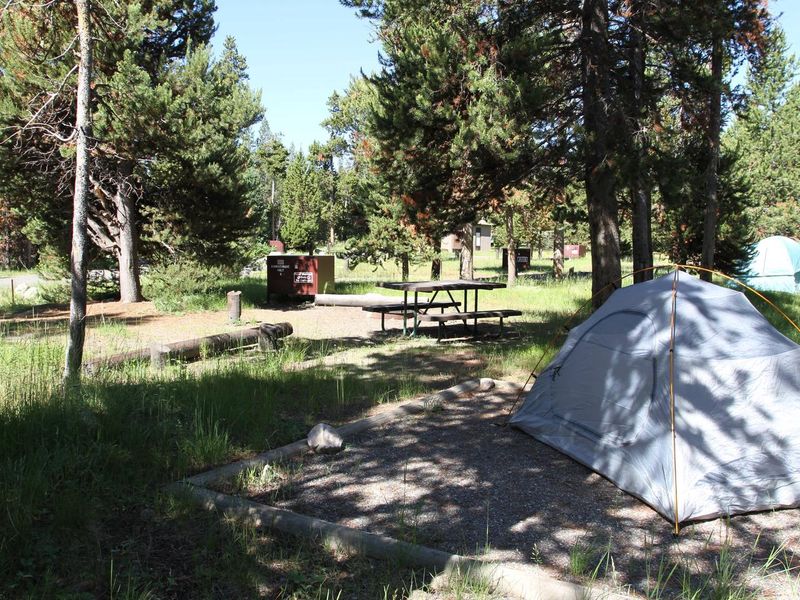
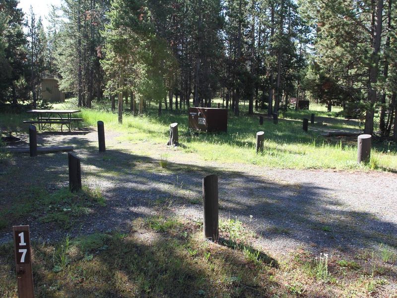
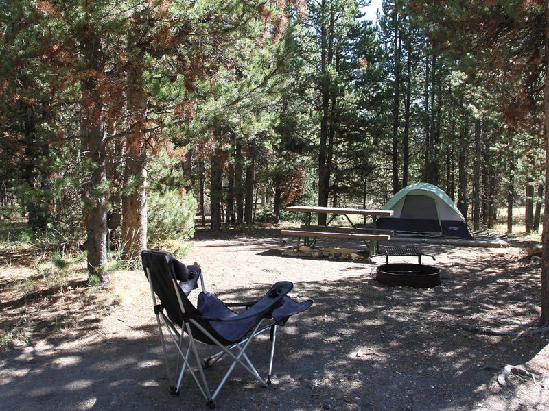
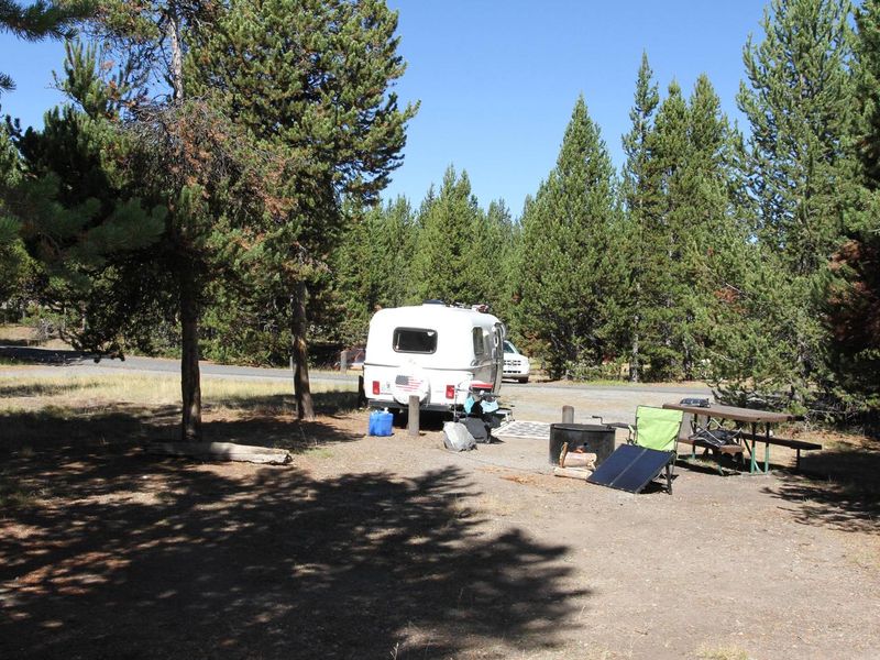
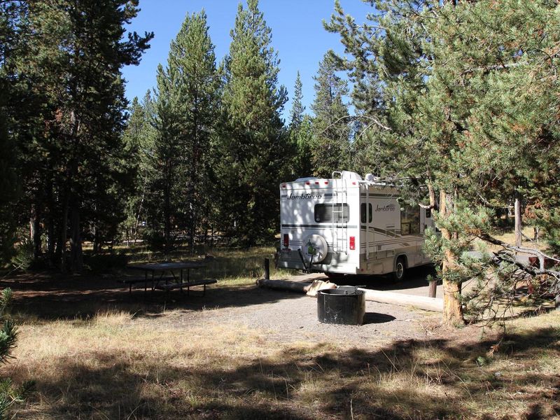
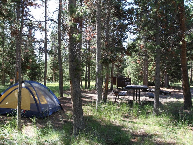
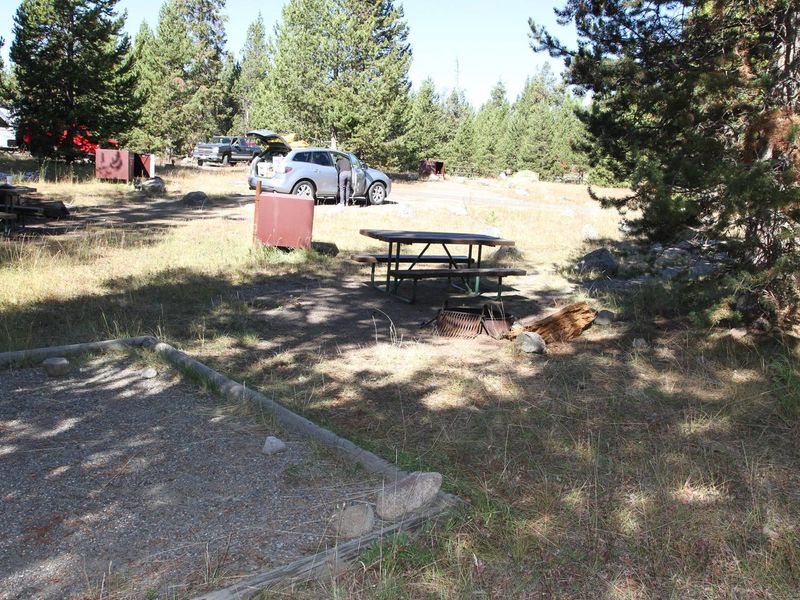
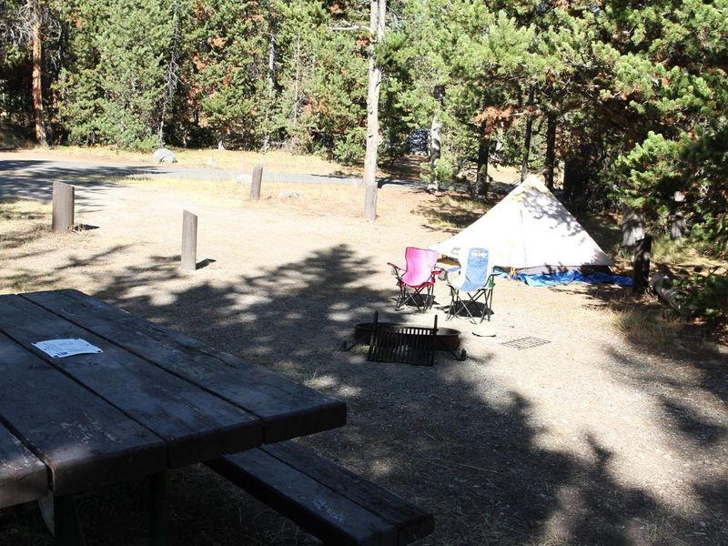
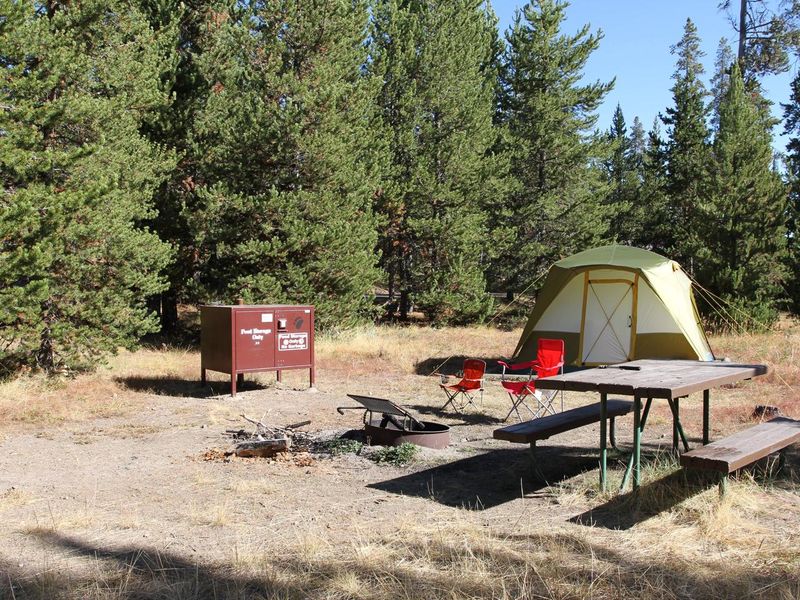
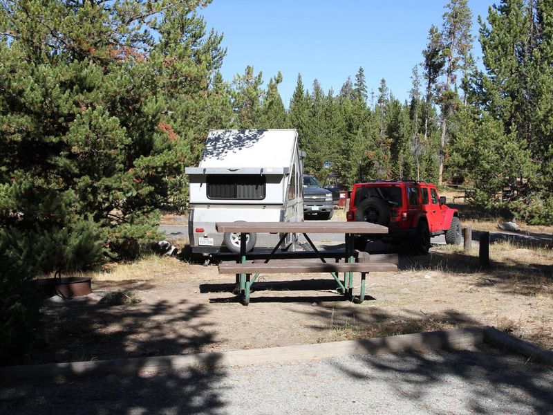
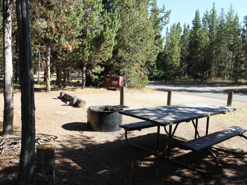
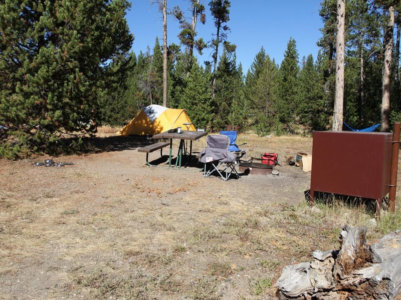
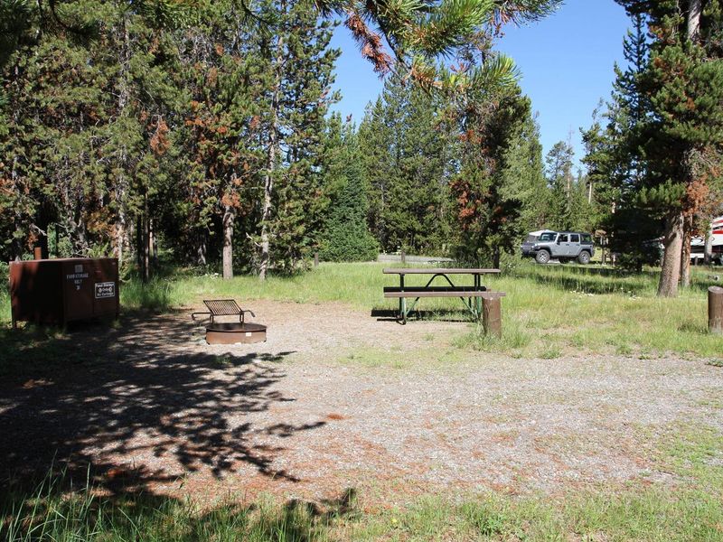
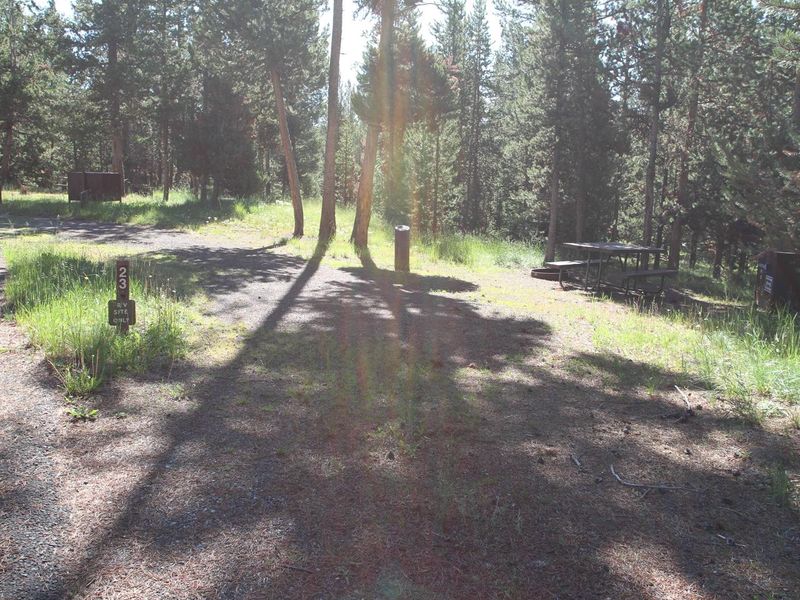
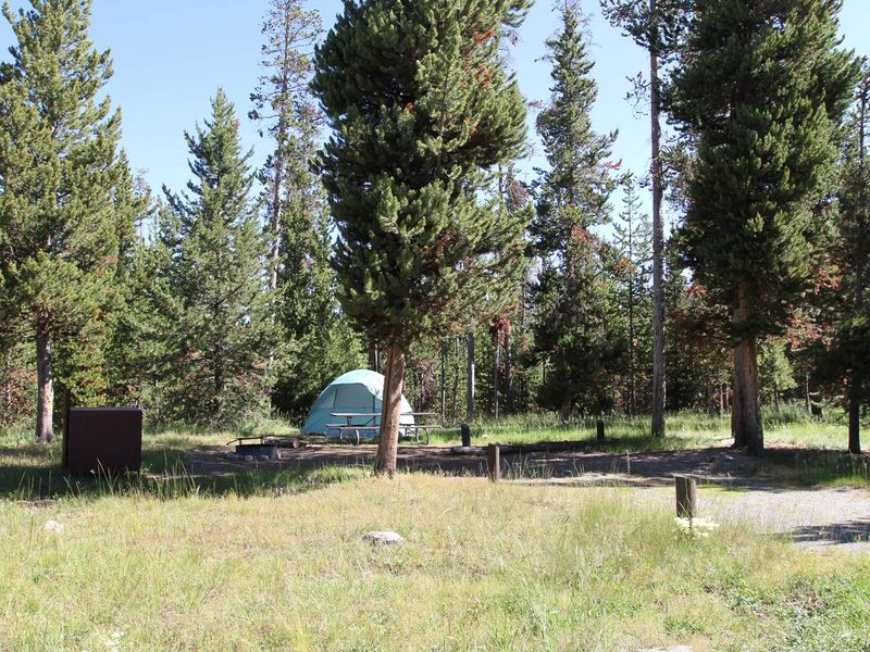
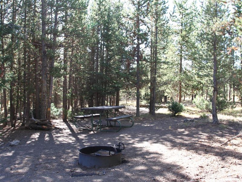
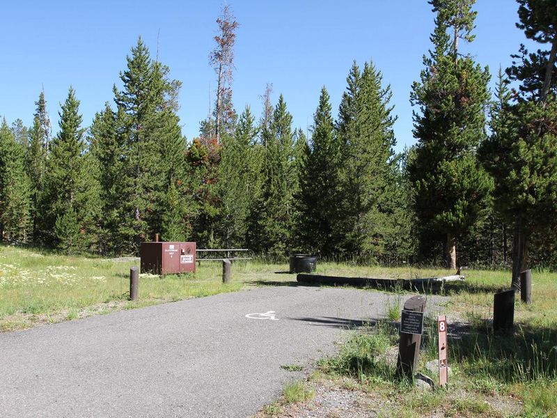
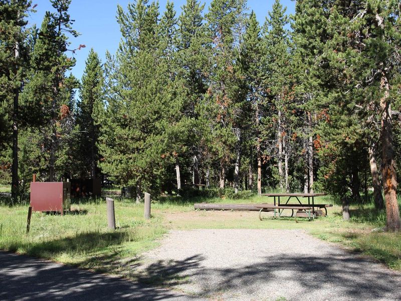
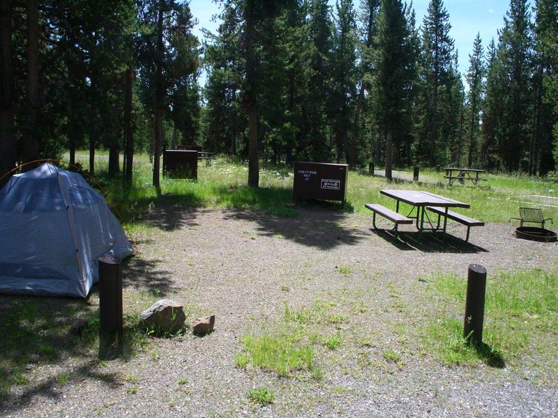
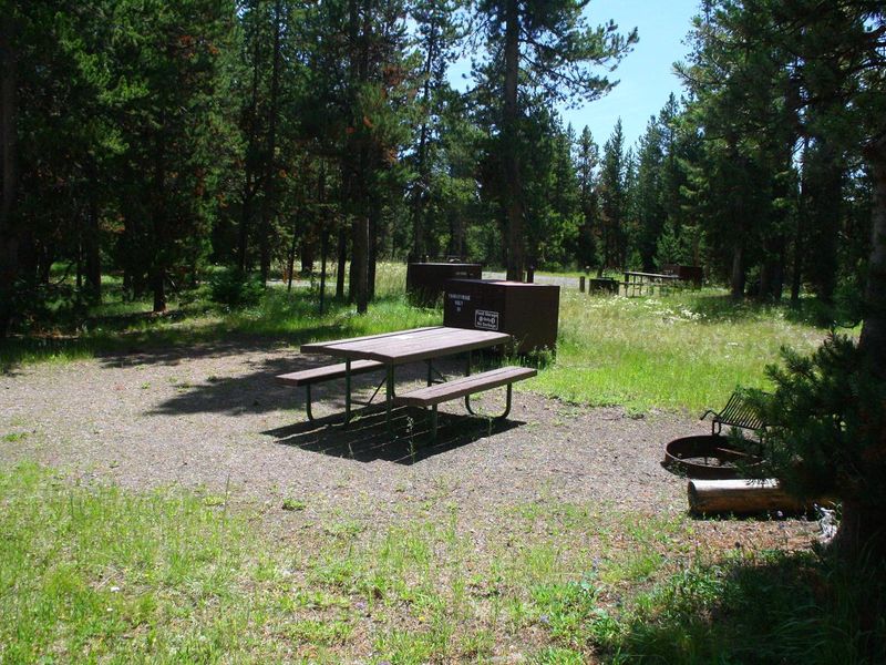
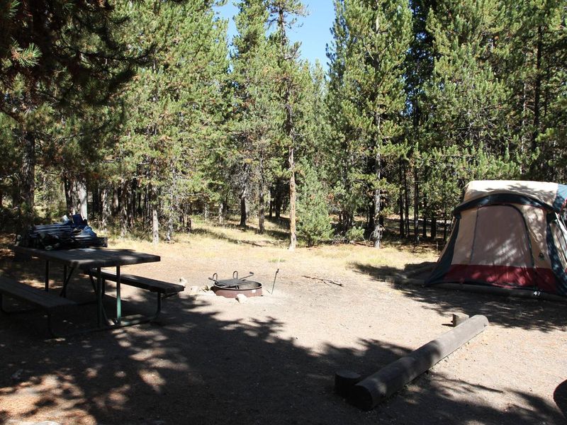
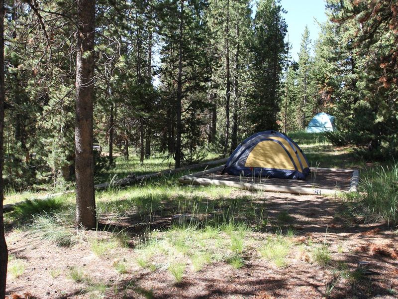
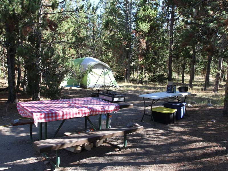
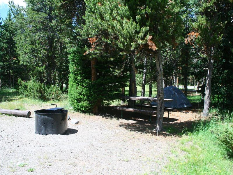
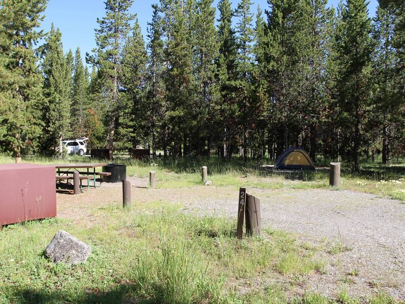
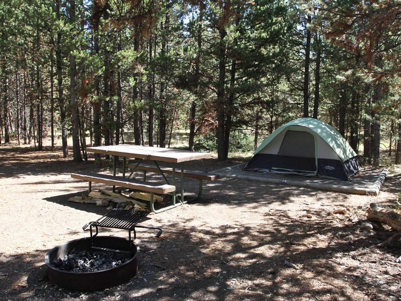
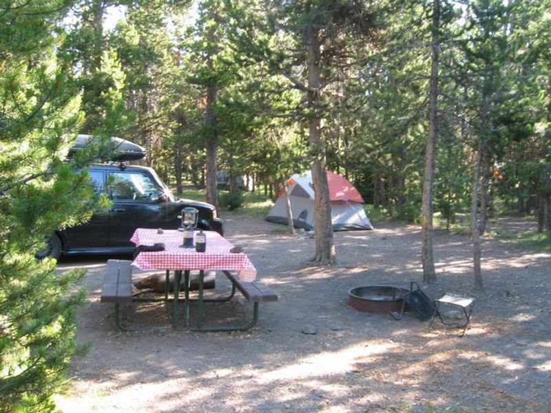
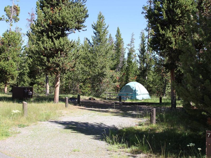
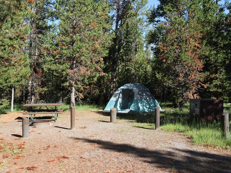
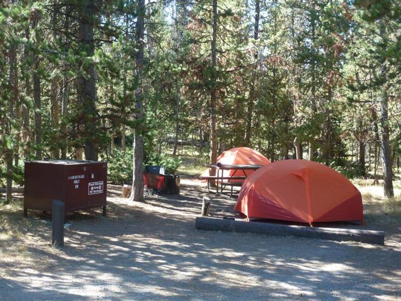
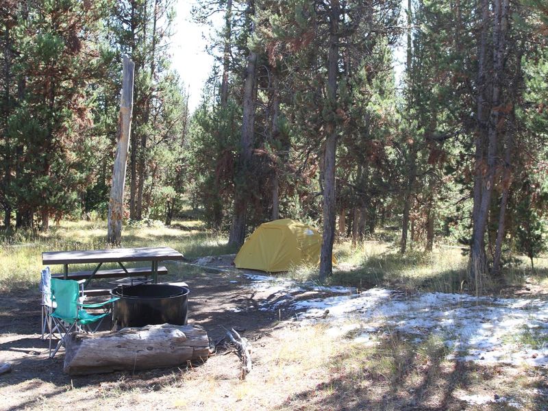
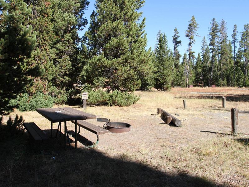
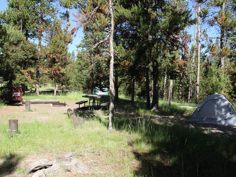
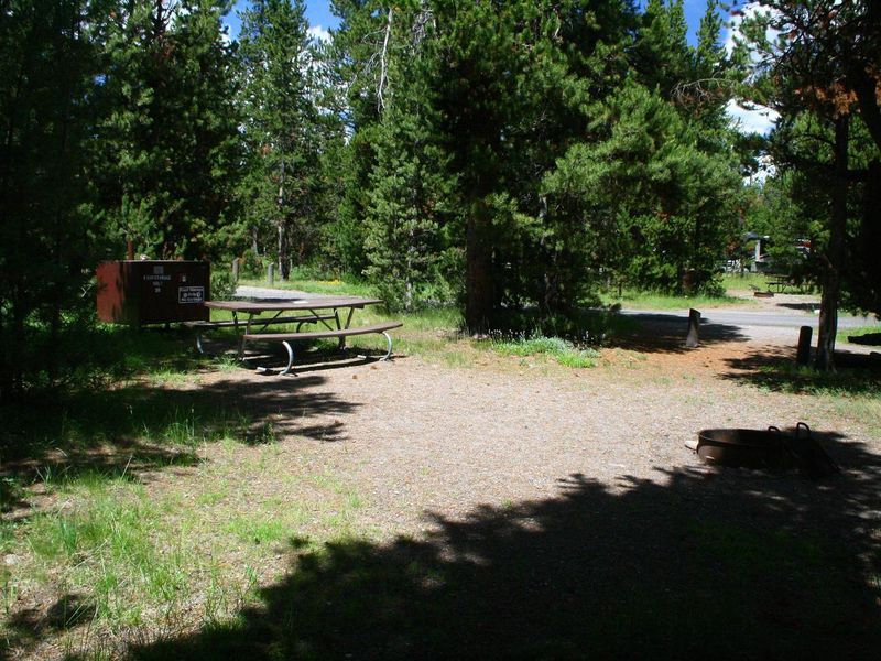
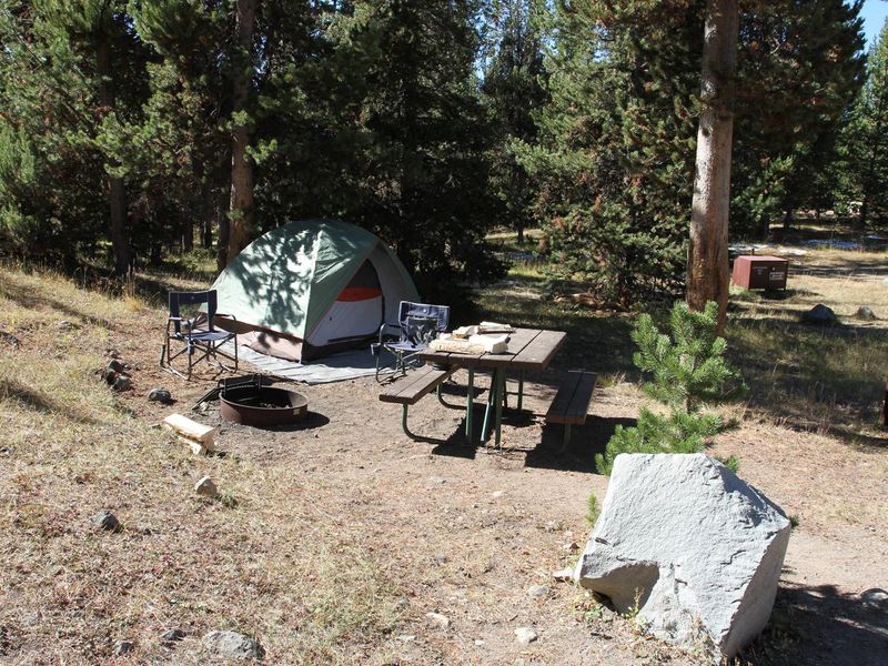
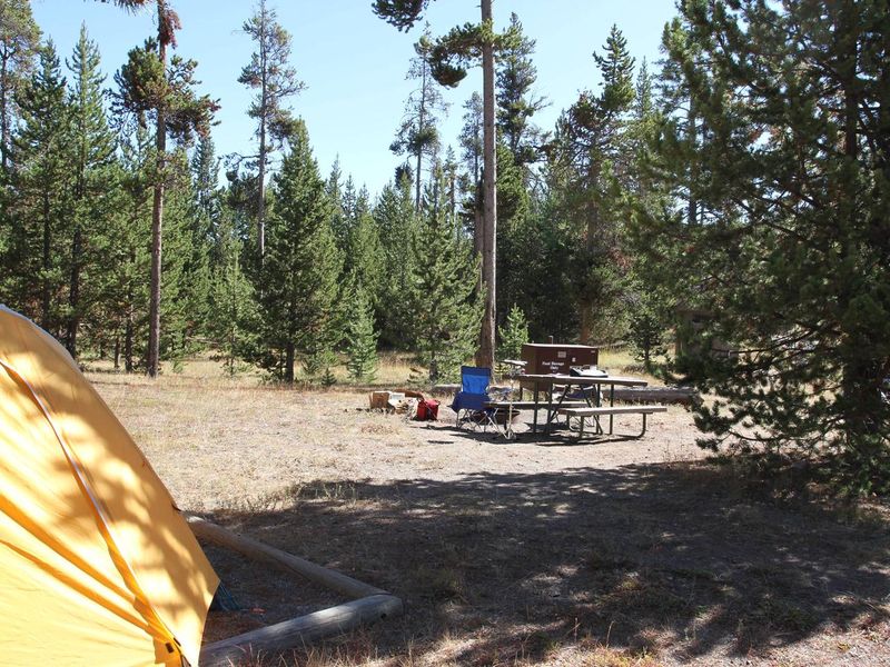
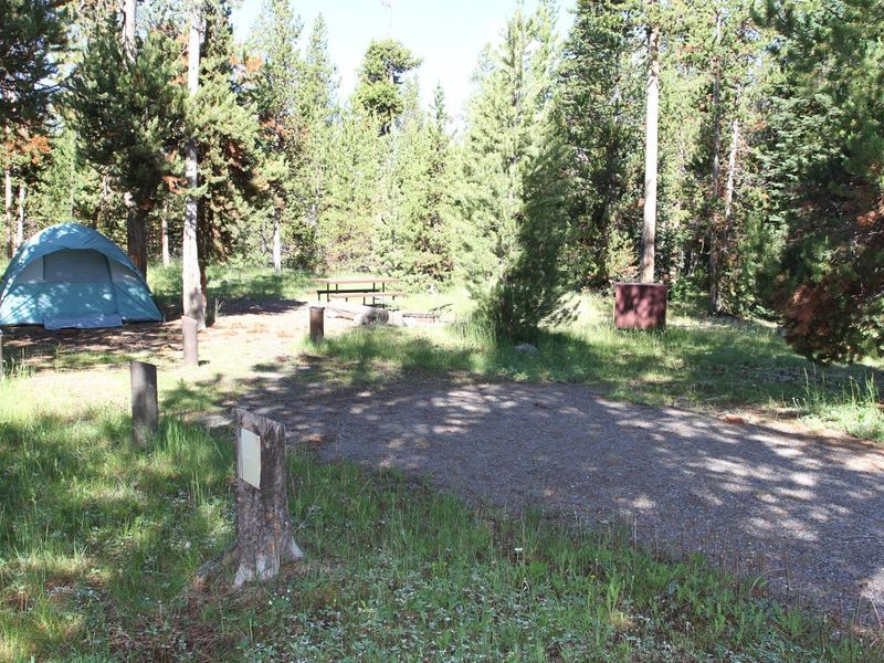
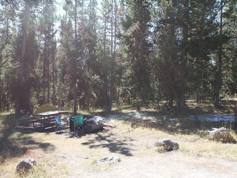
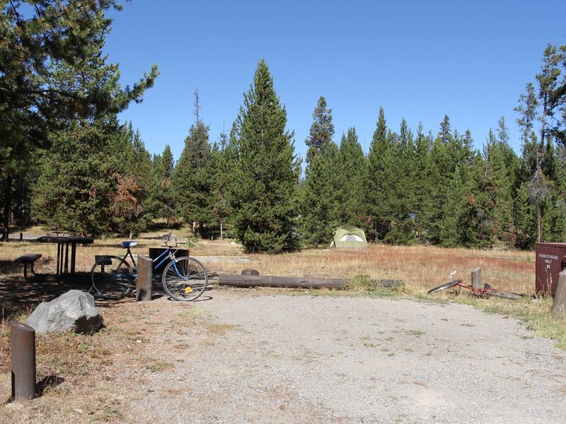
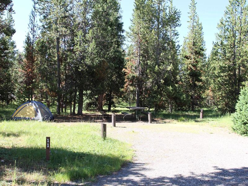
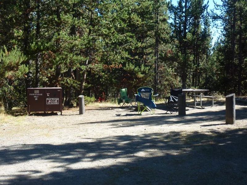
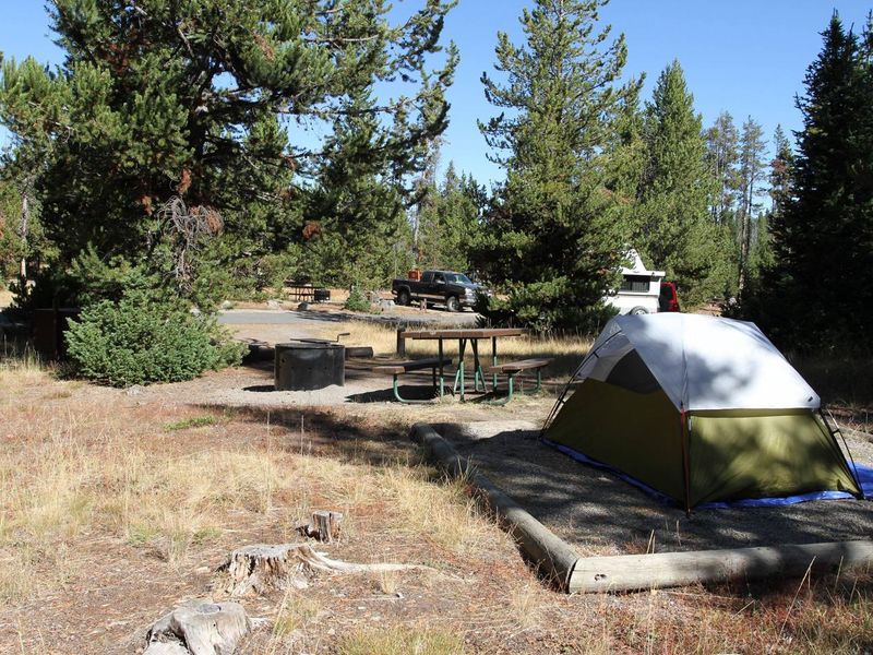
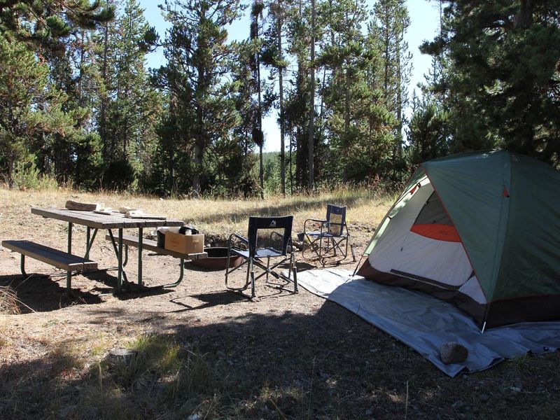
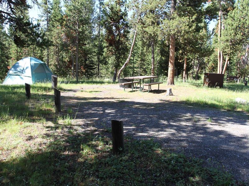
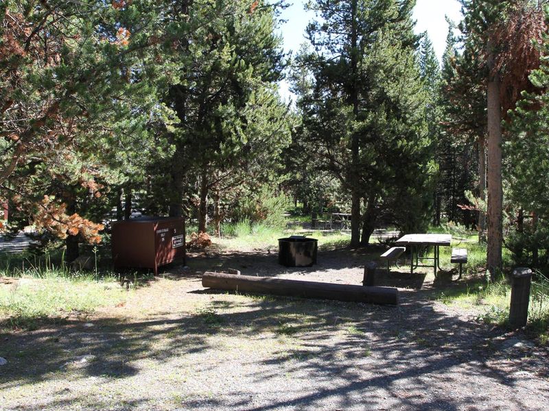
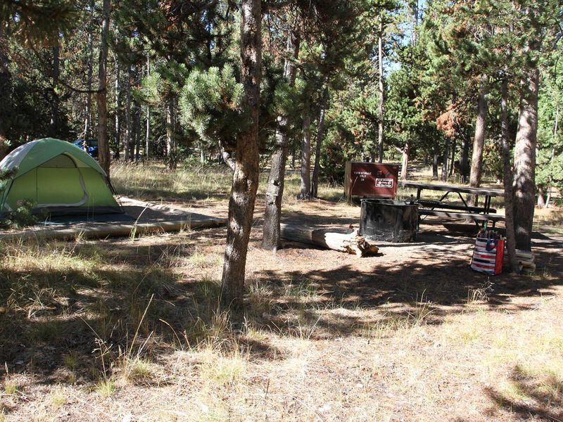
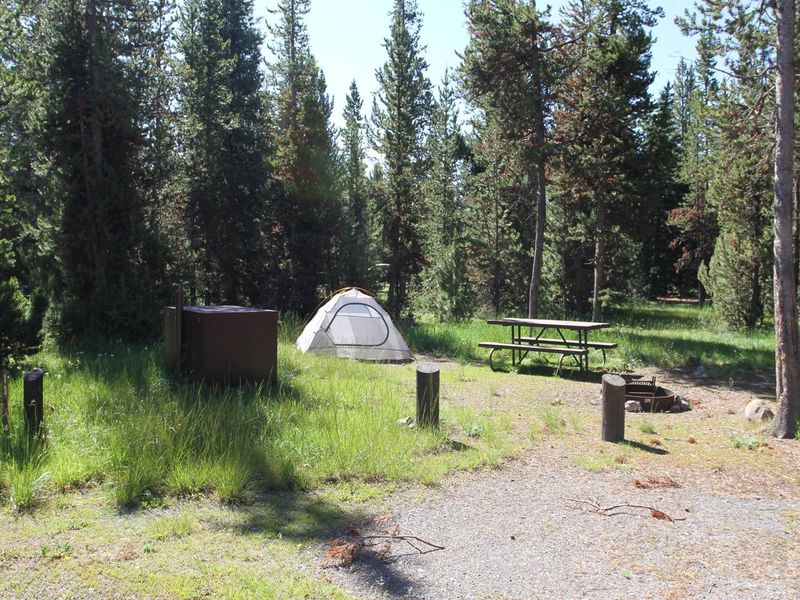
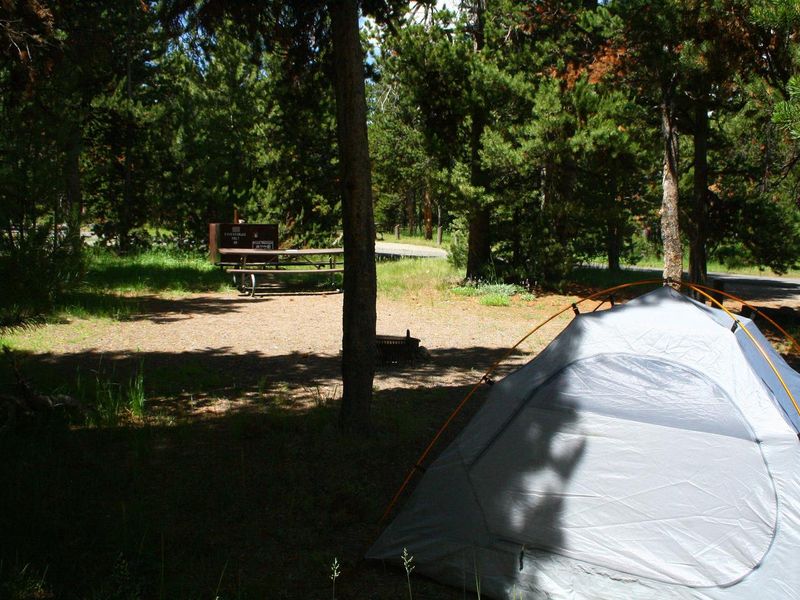
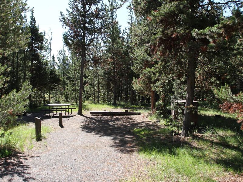
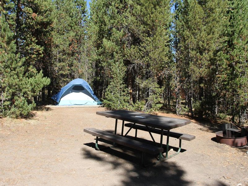
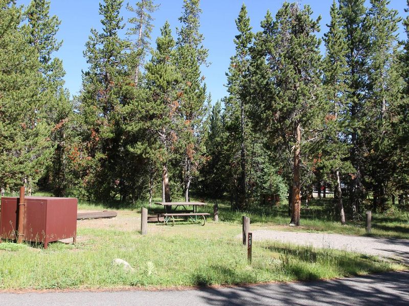
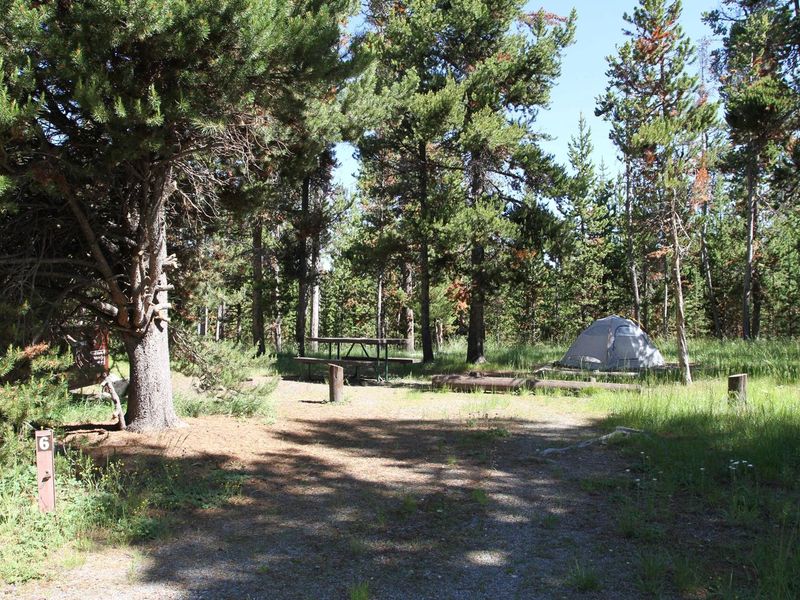
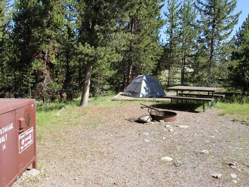
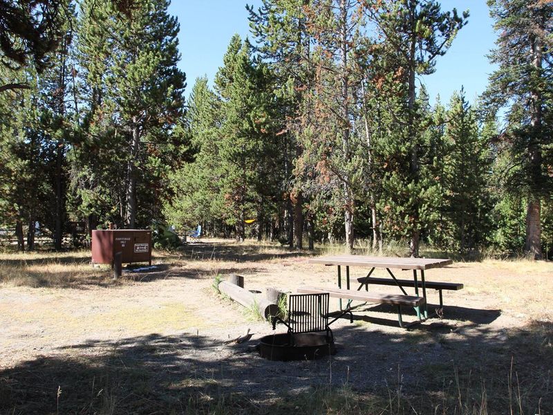
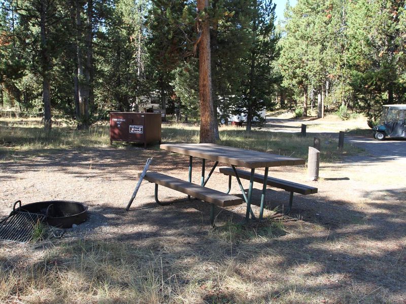
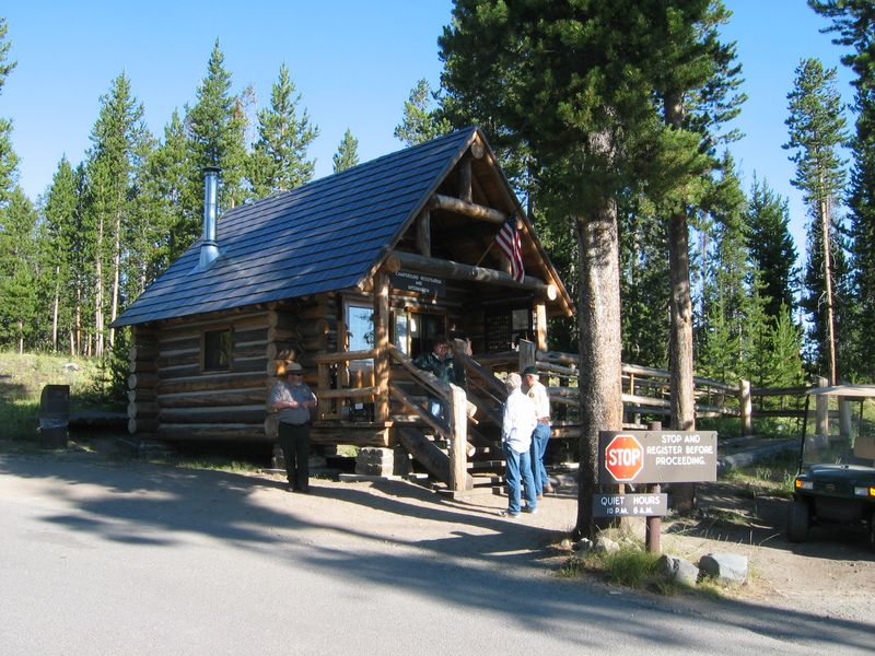
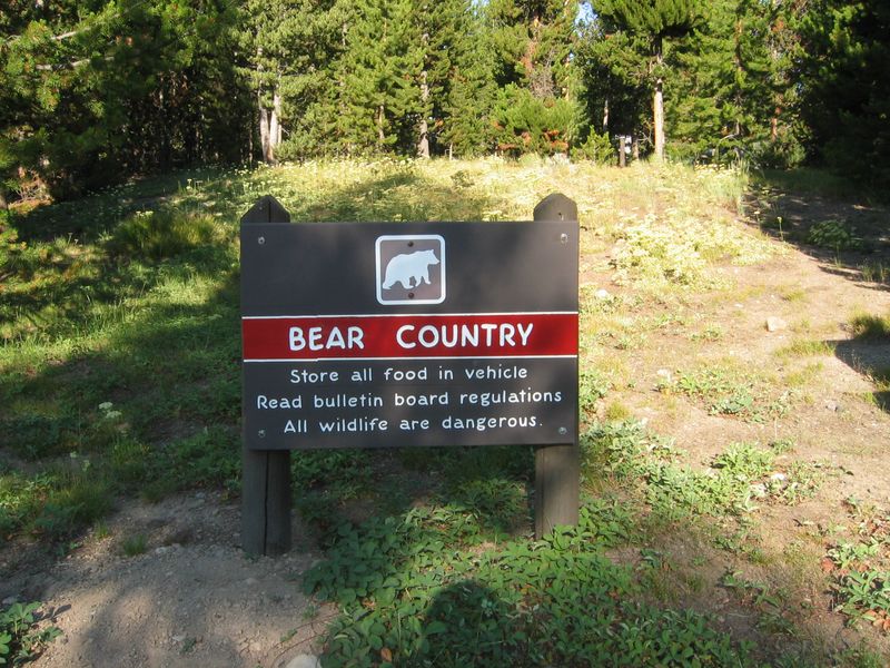
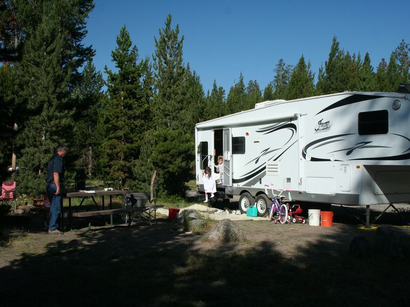
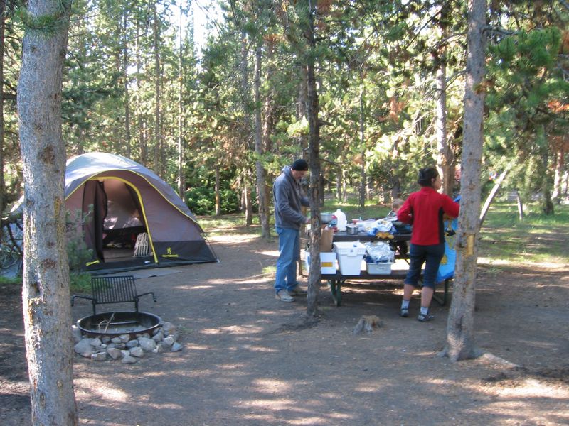
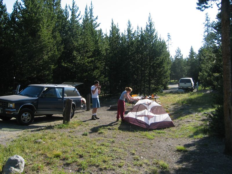
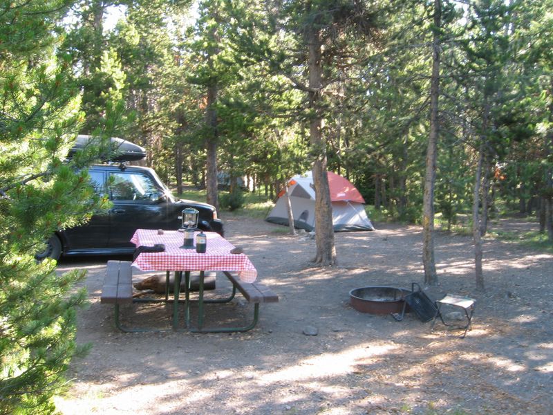
Located in northern Yellowstone near the base of the Gallatin Mountains, Indian Creek Campground provides a primitive camping experience at 7,300 feet elevation. The campground offers 70 sites split between Loop A (sites 1-32) and Loop B (sites 33-73), with breathtaking views of Electric Peak. The Big Horn Pass trailhead is located on the campground entrance road, providing direct access to backcountry hiking. The area features excellent fishing opportunities along Obsidian Creek and the Gardner River. Nearby attractions include Sheepeater Cliff picnic area, Rustic Falls, Apollonaris Spring, Obsidian Cliff, and Willow Park for wildlife viewing. Sites accommodate RVs and trailers up to 35 feet, though sites may not be level. This is a primitive campground with vault toilets and seasonal potable water. Wood and charcoal fires are permitted in fire grates. Generators are prohibited. Bear-proof food storage lockers are available. Maximum occupancy is six people per site, with a 14-day stay limit from July 1 through Labor Day.
Directions
Located on the Grand Loop Road between Mammoth Hot Springs and Norris, about 8 miles south of Mammoth Hot Springs and 13 miles from the park's North Entrance near Gardiner, MT.
Amenities
| Water | Yes |
| Fires Allowed | Yes |
| Toilets | Yes |
| Dump Station | Yes |
| Wifi | No |
| Pets Allowed | Yes |
| Showers | No |
| Electric Hookups | — |
| Water Hookups | — |
| Sewer Hookups | — |
| Camp Store | No |
| Price | $20 |
Vehicle
| Max RV Length | 49ft |
| Max Trailer Length | 35ft |
| Big Rig Friendly | No |
| Pull Through Sites | No |
Contact
| YELL_visitor_services@nps.gov | |
| Phone | +1 (307) 344-2107 |
Cell Service
| AT&T | None |
| Verizon | None |
| T-Mobile | None |
Availability
Photos

























Community Posts
No posts yet. Be the first to share your experience!