Cholla Campground
Open year-round. Even-numbered sites are first-come-first-served. Odd-numbered sites accept reservations via Recreation.gov from November 1 through March 15. Dump station operates Saturday and Sunday only, 10am to 2pm. Bald eagle seasonal closures affect some shoreline areas December 1 through June 30. Fire danger is currently very high but no fire restrictions are in effect.
Wind Advisory issued October 8 at 11:18PM MST until October 11 at 5:00PM MST by NWS Phoenix AZ
* WHAT...South winds 20 to 30 mph with gusts up to 45 mph expected. * WHERE...A portion of south central Arizona. * WHEN...From 8 AM to 5 PM MST Sunday. * IMPACTS...Difficult driving conditions, especially for larger vehicles traveling along roads with crosswinds. Light, unsecured objects may become airborne.
Lower Sycamore Temporary Target Shooting Prohibition Order For Public Health and Safety
A temporary target shooting closure order for Lower Sycamore on Saturday, Oct. 17, to protect the safety of participants in a volunteer cleanup event within the area.
State Route 260 Lion Springs Construction Site Public Health and Safety Closure Order
Closure order due to construction activities associated with the SR260 Lion Springs Project conducted byArizona Department of Transportation on the Tonto National Forest.
About
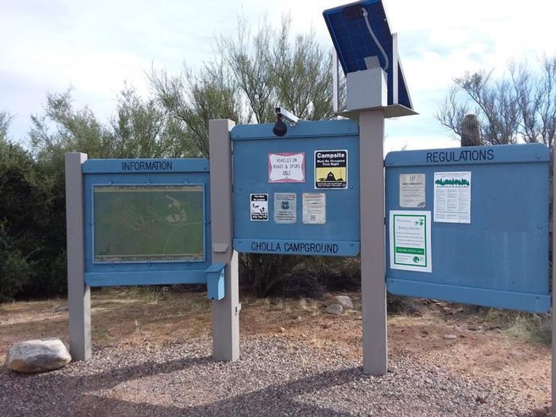
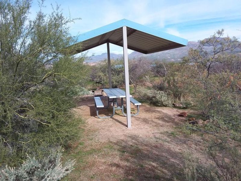
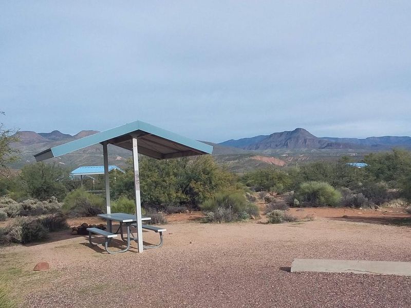
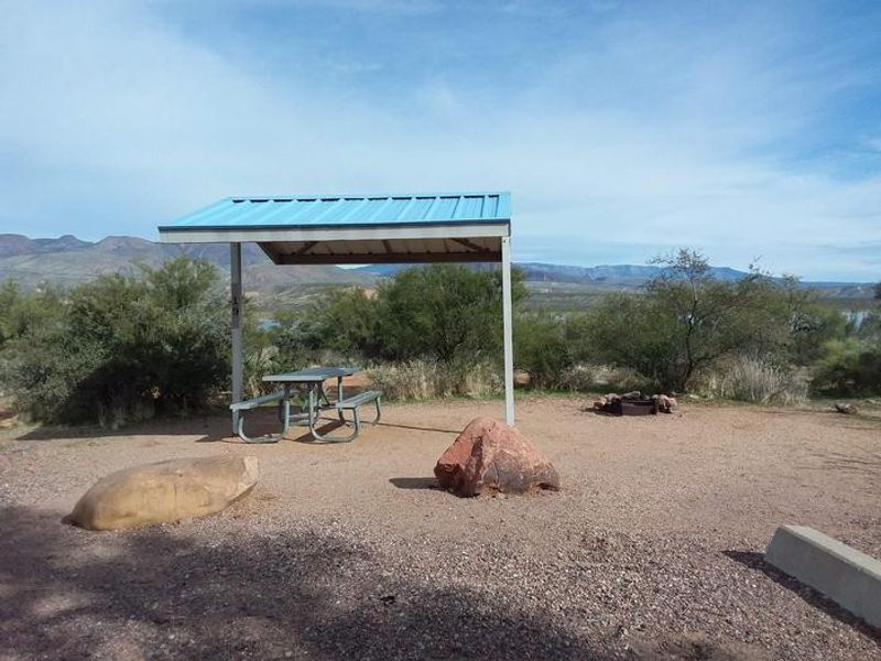
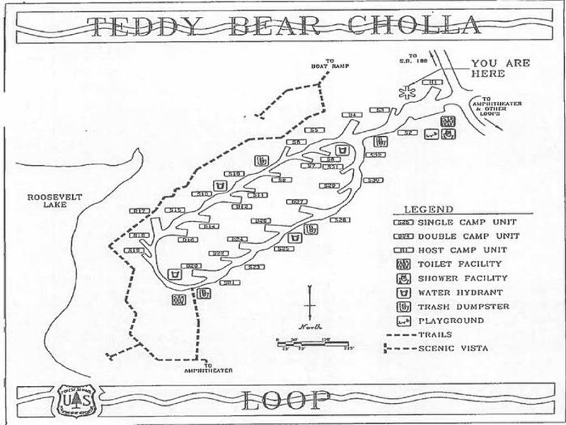
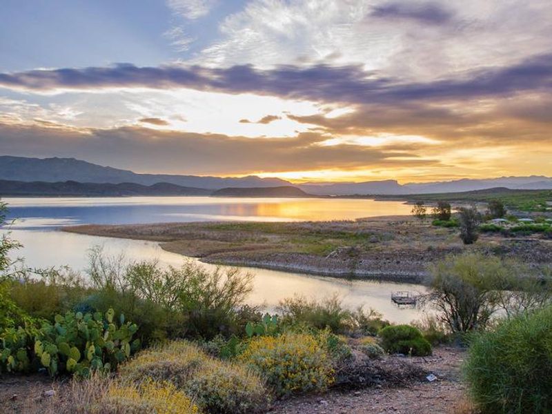
Cholla Campground at Roosevelt Lake is a premier camping destination in the Tonto National Forest, situated at 2,168 feet elevation within a classic Sonoran Desert landscape. The campground offers 206 sites spread across multiple loops including Teddybear, Christmas, Buckhorn, and Cane. Each site features a shade ramada, firepit, grill, and picnic table. The facility is notable for being one of the largest solar-powered campgrounds in the United States. Recreation opportunities center around Roosevelt Lake, which boasts 112 miles of shoreline and up to 21,500 acres of surface water when full. Developed boat ramps with accessible boarding docks allow launching of bass boats, ski boats, pontoon boats, kayaks, canoes, and paddleboards. The area is rich with wildlife including mule deer, coyotes, javelina, geese, and occasional bald eagles. Nearby attractions include the Arizona Trail, Tonto National Monument cliff dwellings, and the Apache Trail and Spines to Pines Highway scenic byways. The campground operates year-round with both reservable (odd-numbered) and first-come-first-served (even-numbered) sites. Reservations are available November 1 through March 15. Summer temperatures regularly exceed 100°F, and RV air conditioners may struggle June through August. A 14-day stay limit applies within 30 consecutive days on the Tonto National Forest.
Directions
From Mesa: Take State Hwy. 87/Beeline Highway north for about 60 miles to its junction with State Hwy. 188. Turn right and follow State Hwy. 188 south for 28 miles to the site. From the Globe area: Take State Hwy. 188 north for 30 miles to its junction with State Hwy. 188. Continue on State Hwy. 188 across the bridge for 6 miles to the site. The campground is 5 miles north of Roosevelt Dam.
Amenities
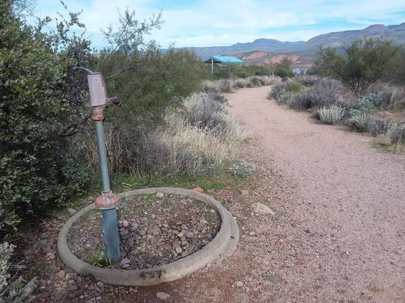
| Water | Yes |
| Fires Allowed | Yes |
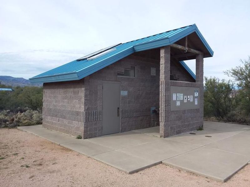
| Toilets | Yes |
| Dump Station | Yes |
| Wifi | — |
| Pets Allowed | — |
| Showers | Yes |
| Electric Hookups | — |
| Water Hookups | — |
| Sewer Hookups | — |
| Camp Store | — |
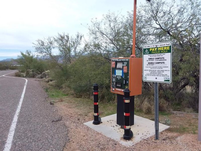
| Price | $25 |
Vehicle
| Max RV Length | 32ft |
| Max Trailer Length | 32ft |
| Big Rig Friendly | No |
| Pull Through Sites | No |
Contact
| Phone | +1 (602) 225-5395 |
Cell Service
| AT&T | Yes |
| Verizon | Yes |
| T-Mobile | Yes |
Availability
Photos
Community Posts
No posts yet. Be the first to share your experience!