Mowe Lake Campsites
Closed for the season. Opens May 15. Reservations are required via Recreation.gov through Columbus Day, after which the site remains open with no fees or services. The campground closes December 1 and is inaccessible during winter.
FR 3303 (Dam Road) closure for bridge replacement on Brevoort River
The bridge on FR 3303 (Dam Road) on the Brevoort River is being replaced and the area will be closed Monday, June 22 through Monday, August 31. Closure area begins approximately 2.1 miles from Brevoort Lake Road. Visitors should expect to see heavy equipment and workers in the area, and find an…
Restricting Public Entry to Stonington Quarry
Persons with a valid permit; Federal, State, or Local members of rescue or fire fighting force in the performance of official duties; Forest Service employees conducting surveys or monitoring and as approved by the Forest Supervisor.Protection of objects and areas that are of significant…
Haymeadow Trail and Bridge Closed
The Haymeadow Creek Hiking Trail Bridge is closed until it can be repaired or replaced. -- Located on the hiking loop near Haymeadow Creek Dispersed Campsites, the bridge failed an inspection due to significant rot. We will update this notice as repairs are implemented. (4/2018),(4/2021).The…
About
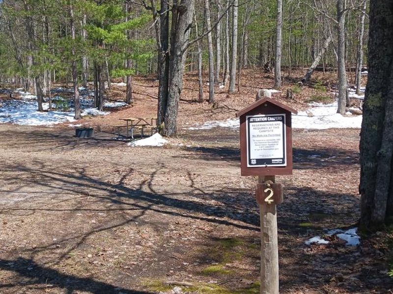
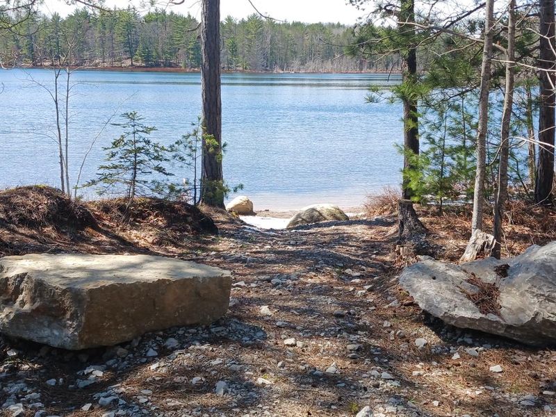
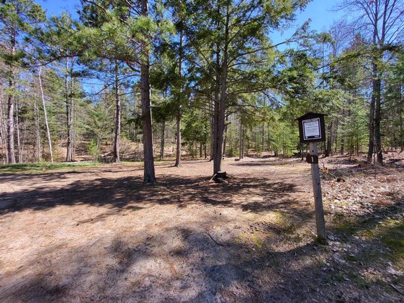
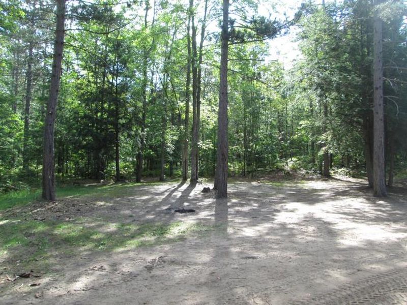
Mowe Lake Campsites is a pair of primitive, dispersed campsites tucked along the shore of a 25-acre lake in Michigan's Upper Peninsula. Managed by Hiawatha National Forest's Rapid River/Manistique Ranger District, the sites are surrounded by hardwoods and pines, providing a quiet, rustic setting for anglers and those seeking solitude. The lake holds a healthy fishery of northern pike, largemouth bass, pumpkinseed, and yellow perch. An unimproved boat launch with a sand base sits across from Site 2 and is suitable for small boats and trailers only. Swimming is possible but neither site has a designated beach. Site 1 is approximately 60 ft by 40 ft in a semi-open area bordered by hardwoods; Site 2 is similar but slightly smaller. Facilities are minimal: a primitive toilet is provided, but there is no potable water and campers must pack out all trash. Firewood may be gathered from dead and downed material on site. The narrow access road can handle moderate-sized vehicles and trailers, but is not suited for large RVs.
Directions
From the intersection of US-2 and Forest Highway 13 (about 14 miles east of Rapid River), drive north 19 miles on Highway 13 to CR 440. Turn right (east) and drive 3.5 miles to FR 2209. Turn right (southeast) on FR 2209 at the Big Springs North Trailhead and drive 0.4 mile to FR 8104. Turn right (west) and drive about 0.6 mile to the campsites.
Amenities
| Water | No |
| Fires Allowed | Yes |
| Toilets | Yes |
| Dump Station | No |
| Wifi | No |
| Pets Allowed | — |
| Showers | No |
| Electric Hookups | — |
| Water Hookups | — |
| Sewer Hookups | — |
| Camp Store | No |
| Price | $8 |
Vehicle
| Max RV Length | 32ft |
| Max Trailer Length | 32ft |
| Big Rig Friendly | No |
| Pull Through Sites | No |
Contact
| Phone | +1 (906) 474-6442 |
Cell Service
| AT&T | None |
| Verizon | None |
| T-Mobile | None |
Availability
Photos

Community Posts
No posts yet. Be the first to share your experience!