Fort Charlotte Backcountry Campgrounds
Open year-round with free permit required. Permits must be requested at least 10 days in advance through the park; no same-day permits issued. Winter campsites are not maintained and snow travel requires snowshoes or skis. Current alert: flooding at Poplar Creek Crossing on the Grand Portage Trail due to beaver activity.
Canoe Loading across from the Historic Site
From Thursday August 7 to Sunday August 10, please load/unload canoes off road near the Grand Portage trailhead sign at the corner of Store and Mile Creek Roads. Please do not cross the intersection with packs or canoes during this time.
About
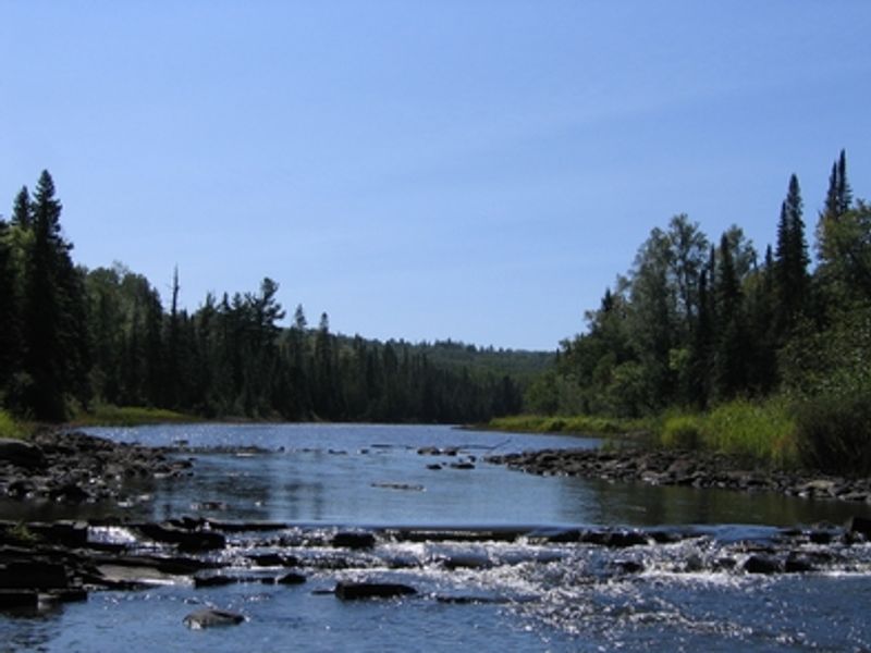
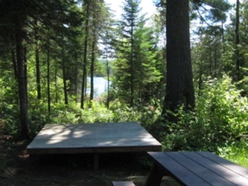
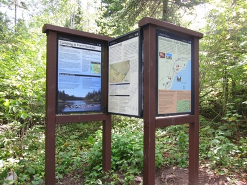
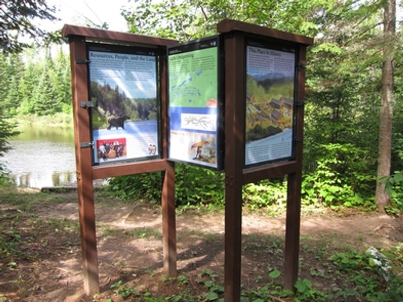
Fort Charlotte Backcountry Campgrounds are the only overnight camping option within Grand Portage National Monument, located where the historic Grand Portage fur trade route meets the Pigeon River at the U.S.-Canada border. The two campsites occupy ground steeped in history, near the reconstructed North West Company fort where voyageurs once portaged goods around the impassable High Falls. Access requires commitment: hikers face an 8.5-mile trek along the Grand Portage Trail from Lake Superior, while paddlers can approach via the Pigeon River from South Fowl Lake in the Boundary Waters Canoe Area Wilderness. Both routes traverse rugged terrain with significant elevation changes. Each site accommodates up to nine people on tent platforms with picnic tables. Vault toilets are provided, but water from the river and trail sources is not potable. Campfires are permitted only in designated fire rings using dead, fallen wood. All trash must be packed out.
Directions
Fort Charlotte is reached by hiking 8.5 miles on the Grand Portage Trail from the historic depot at Grand Portage Bay on Lake Superior, or by paddling down the Pigeon River from South Fowl Lake. An alternative trail entry point exists where Old Highway 61 intersects the portage via County Road 17.
Amenities
| Water | No |
| Fires Allowed | Yes |
| Toilets | Yes |
| Dump Station | No |
| Wifi | No |
| Pets Allowed | Yes |
| Showers | No |
| Electric Hookups | — |
| Water Hookups | — |
| Sewer Hookups | — |
| Camp Store | No |
| Price | $0 |
Vehicle
| Max RV Length | — |
| Max Trailer Length | — |
| Big Rig Friendly | No |
| Pull Through Sites | No |
Contact
| GRPO_Back_Country@nps.gov | |
| Phone | +1 (218) 475-0123 |
Cell Service
| AT&T | None |
| Verizon | None |
| T-Mobile | None |
Photos
Community Posts
No posts yet. Be the first to share your experience!