Flour Lake Campground
Open for the 2026 season (May 8 through October 4). The campground road is not plowed in winter. Flood advisories have been issued for Cook County through early May due to heavy rain and snowmelt; visitors should check current conditions.
Special Weather Statement issued July 21 at 9:57AM CDT by NWS Duluth MN
Due to continued dry conditions in forested areas and gusty north to northwest winds around 20 to 30 mph today, conditions will remain favorable for near-critical fire weather conditions through this afternoon. This is despite relatively higher minimum RH values expected today at 40 to 50 percent. The situation is evaluated daily by the National Weather Service and the Minnesota Interagency Fire Center. Dry and windy conditions could lead to the rapid spread of fires today. For more information on burning restrictions for Minnesota, see www.dnr.state.mn.us/forestry/fire/firerating_restrictions.html.
About
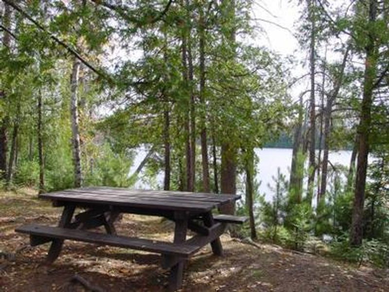
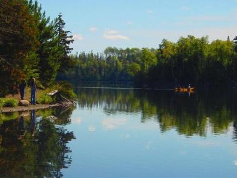
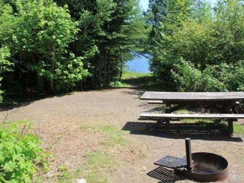
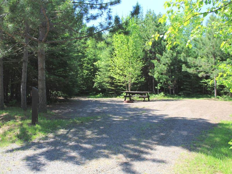
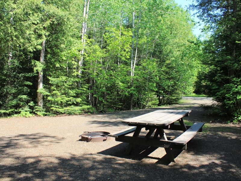
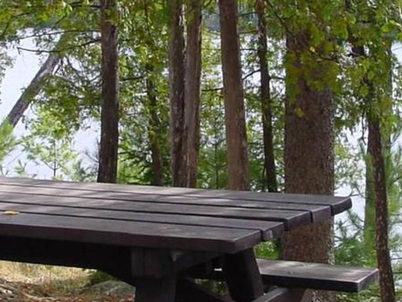
Flour Lake Campground provides a convenient basecamp for exploring the Boundary Waters Canoe Area Wilderness in northeastern Minnesota. Located on the quiet shore of 352-acre Flour Lake, the campground sits in a stand of mixed hardwoods and pine. The lake's shallow bays attract moose, beavers, bald eagles, loons, and bears. Portages on the eastern shore connect to East Bearskin Lake and Moon Lake within the BWCAW. The campground has 37 sites, each with a picnic table and fire ring with grill, and several offer lake views. Ten sites are first-come, first-served while the rest are reservable. Facilities include accessible vault toilets, a solar-powered drinking water system, trash and recycling service, and a public boat ramp. A fee dump station is located nearby. Golden Eagle Lodge, the concessionaire, offers watercraft rentals, coin-operated showers, and approved firewood. Flour Lake provides excellent fishing for bass, walleye, and lake trout. Day-use permits for the BWCAW are available free from the campground host. The half-mile Honeymoon Bluff Trail starts a short walk up the road and offers a great vista of Hungry Jack Lake.
Directions
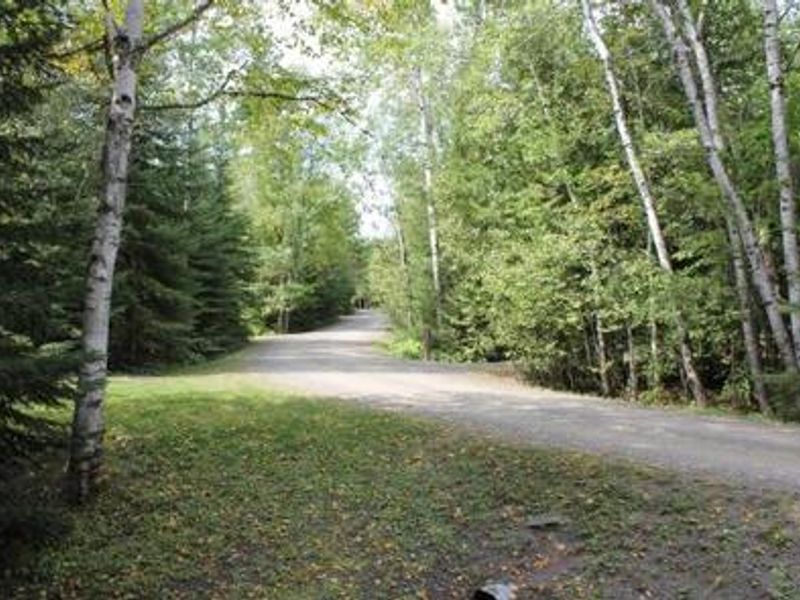
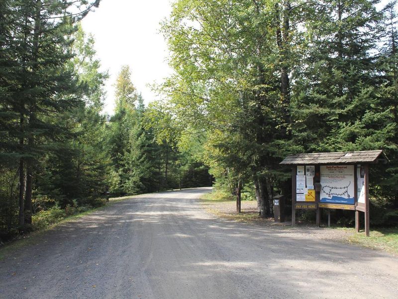
From Grand Marais, take Gunflint Trail (County Road 12) north approximately 27 miles. Turn right on County Road 22 (Clearwater Road) and travel 3 miles to the campground entrance. Follow the campground road half a mile to the campground.
Amenities
| Water | Yes |
| Fires Allowed | Yes |
| Toilets | Yes |
| Dump Station | No |
| Wifi | No |
| Pets Allowed | Yes |
| Showers | No |
| Electric Hookups | — |
| Water Hookups | — |
| Sewer Hookups | — |
| Camp Store | No |
| Price | $24 |
Vehicle
| Max RV Length | 85ft |
| Max Trailer Length | 85ft |
| Big Rig Friendly | — |
| Pull Through Sites | No |
Contact
| FLC@golden-eagle.com | |
| Phone | +1 (218) 388-2203 |
Cell Service
| AT&T | None |
| Verizon | None |
| T-Mobile | None |
Availability
Photos

Community Posts
No posts yet. Be the first to share your experience!