Double Lake Recreation Area
Open for camping with both first-come-first-served and reservable sites available through Recreation.gov. Swim beach is open. Check local county burn ban status before planning campfires.
Flood Watch issued August 31 at 10:14AM CDT until September 2 at 7:00AM CDT by NWS Houston/Galveston TX
* WHAT...Flooding caused by excessive rainfall is possible. * WHERE...A portion of southeast Texas, including the following areas, Bolivar Peninsula, Chambers, Coastal Galveston, Coastal Harris, Galveston Island, Inland Galveston, Inland Harris, Montgomery, Northern Liberty, Polk, San Jacinto and Southern Liberty. * WHEN...From late tonight through Wednesday morning. * IMPACTS...Excessive runoff may result in flooding of rivers, creeks, streams, and other low-lying and flood-prone locations. Flooding may occur in poor drainage and urban areas. * ADDITIONAL DETAILS... - Periods of moderate to heavy rainfall associated with Potential Tropical Cyclone Five are expected to begin as early as late tonight and lasting into late Tuesday night/early Wednesday morning. 3-5 inches with isolated amounts of 6-9 inches are expected with the highest totals occuring east of I-45. Rainfall rates will exceed 3-4 inches per hour at times in the heaviest downpours, which can lead to flash flooding especially in urban and vulnerable areas. - http://www.weather.gov/safety/flood
Tropical Cyclone Local Statement issued August 31 at 10:26AM CDT by NWS Houston/Galveston TX
HLSHGX This product covers Southeast Texas **Potential Tropical Cyclone Five to Bring Locally Heavy Rainfall for Portions of Southeast Texas** NEW INFORMATION --------------- * CHANGES TO WATCHES AND WARNINGS: - A Tropical Storm Warning has been issued for Bolivar Peninsula and Chambers * CURRENT WATCHES AND WARNINGS: - A Tropical Storm Warning is in effect for Bolivar Peninsula and Chambers * STORM INFORMATION: - About 250 miles east-southeast of Galveston TX - 27.8N 91.0W - Storm Intensity 35 mph - Movement West-northwest or 285 degrees at 5 mph SITUATION OVERVIEW ------------------ Potential Tropical Cyclone (PTC) Five is currently about 130 miles south of the Louisiana coast, slowly moving west-northwestward towards the northwestern Gulf Coast. It is expected to become a Tropical Storm within the next 24 hours or so, before making landfall along the Upper Texas coast, somewhere within the Warning area. Periods of moderate to heavy rainfall associated are expected to begin as early as late tonight and lasting into late Tuesday night/early Wednesday morning. 3-5 inches of rain with isolated amounts of 6-9 inches are expected with the highest totals occuring east of I-45. Rainfall rates will exceed 3-4 inches per hour at times in the heaviest downpours, which can lead to flash flooding especially in urban and vulnerable areas. POTENTIAL IMPACTS ----------------- * FLOODING RAIN: Protect against dangerous rainfall flooding having possible significant impacts mainly for areas east of I-45. Potential impacts include: - Moderate rainfall flooding may prompt several evacuations and rescues. - Rivers and tributaries may quickly become swollen with swifter currents and overspill their banks in a few places, especially in usually vulnerable spots. Small streams, creeks, canals, and ditches overflow. - Flood waters can enter some structures or weaken foundations. Several places may experience expanded areas of rapid inundation at underpasses, low-lying spots, and poor drainage areas. Some streets and parking lots take on moving water as storm drains and retention ponds overflow. Driving conditions become hazardous. Some road and bridge closures. Protect against locally hazardous rainfall flooding having possible limited impacts across the rest of Southeast Texas. * WIND: Protect against hazardous wind having possible limited impacts across Bolivar Peninsula and Chambers County. Potential impacts in this area include: - Damage to porches, awnings, carports, sheds, and unanchored mobile homes. Unsecured lightweight objects blown about. - Many large tree limbs broken off. A few trees snapped or uprooted, but with greater numbers in places where trees are shallow rooted. Some fences and roadway signs blown over. - A few roads impassable from debris, particularly within urban or heavily wooded places. Hazardous driving conditions on bridges and other elevated roadways. - Scattered power and communications outages. Elsewhere across Southeast Texas, little to no impact is anticipated. * SURGE: Protect against locally hazardous surge having possible limited impacts across Port Bolivar to High Island. Potential impacts in this area include: - Localized inundation with storm surge flooding mainly along immediate shorelines and in low-lying spots, or in areas farther inland near where higher surge waters move ashore. - Sections of near-shore roads and parking lots become overspread with surge water. Driving conditions dangerous in places where surge water covers the road. - Moderate beach erosion. Heavy surf also breaching dunes, mainly in usually vulnerable locations. Strong rip currents. - Minor to locally moderate damage to marinas, docks, boardwalks, and piers. A few small craft broken away from moorings. Elsewhere across Southeast Texas, little to no impact is anticipated. * TORNADOES: Little to no impacts are anticipated at this time across Southeast Texas. PRECAUTIONARY/PREPAREDNESS ACTIONS ---------------------------------- * EVACUATIONS: Follow the advice of local officials. * OTHER PREPAREDNESS INFORMATION: Now is the time to complete all preparations to protect life and property in accordance with your emergency plan. Ensure you are in a safe location before the onset of strong winds or possible flooding. Keep cell phones well charged. Cell phone chargers for automobiles can be helpful, but be aware of your risk for deadly carbon monoxide poisoning if your car is left idling in a garage or other poorly ventilated area. If you are a visitor, be sure to know the name of the city or town in which you are staying and the name of the county or parish in which it resides. Listen for these locations in local news updates. Pay attention for instructions from local authorities. Closely monitor weather.gov, NOAA Weather radio or local news outlets for official storm information. Be ready to adapt to possible changes to the forecast. Ensure you have multiple ways to receive weather warnings. * ADDITIONAL SOURCES OF INFORMATION: - For information on appropriate preparations see ready.gov - For information on creating an emergency plan see getagameplan.org - For additional disaster preparedness information see redcross.org NEXT UPDATE ----------- The next local statement will be issued by the National Weather Service in Houston/Galveston TX around 4 PM CDT, or sooner if conditions warrant.
Know Before You Go, Davy Crockett and Sam Houston National Forests Road Work
Know Before You Go.Visitors to the Sam Houston and Davy Crockett National Forests should plan ahead and use extra caution as the first phase of Heavy Road Maintenance associated with disaster recovery efforts across the National Forests and Grasslands in Texas begins the week of June 23.Work will…
About
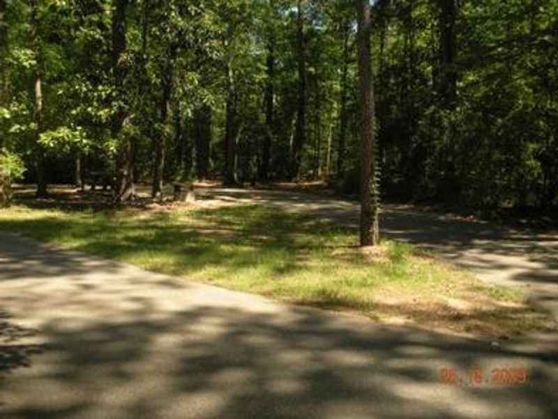
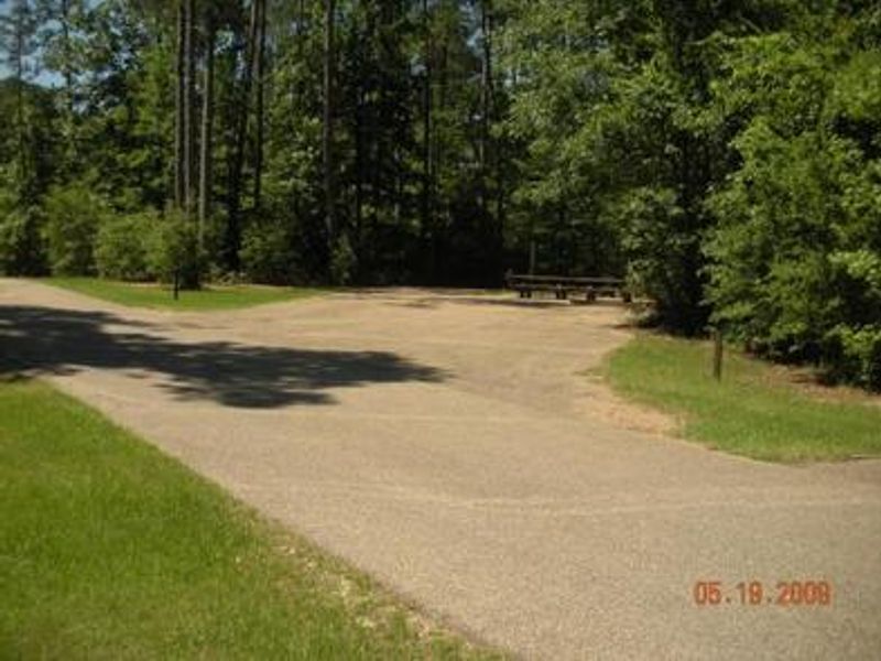
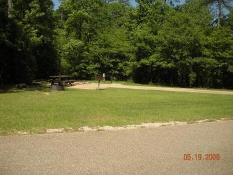
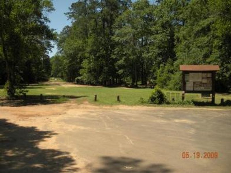
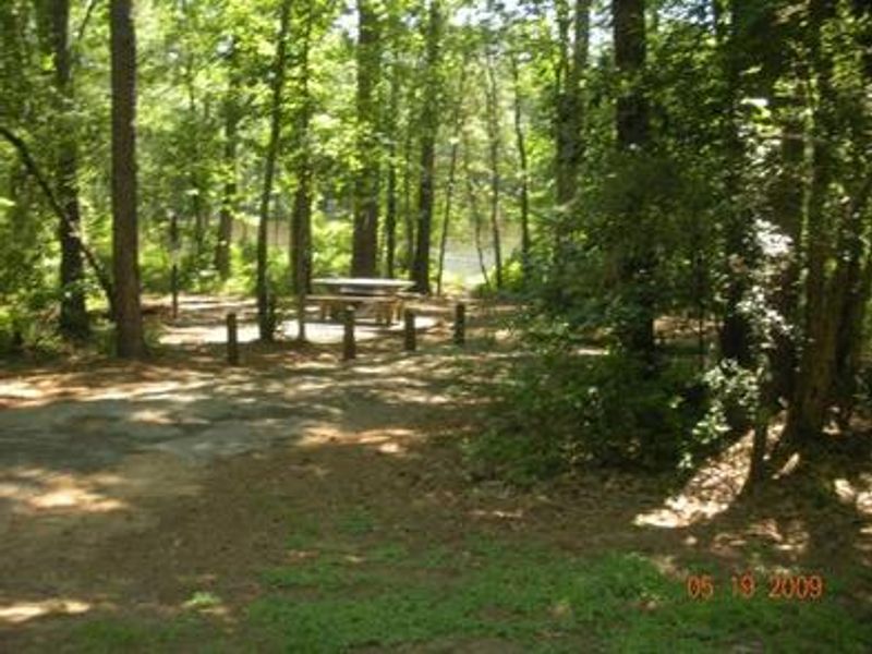
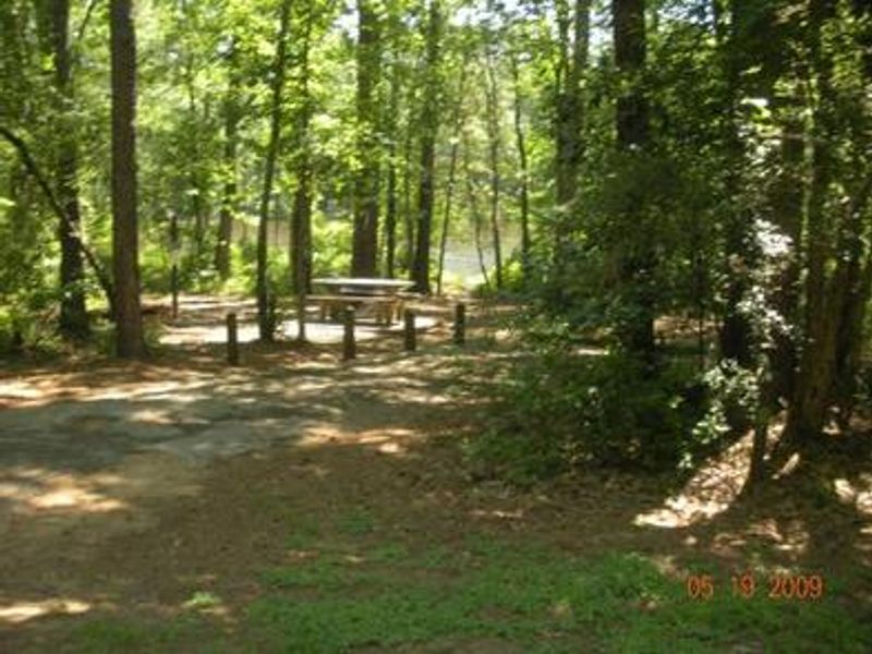
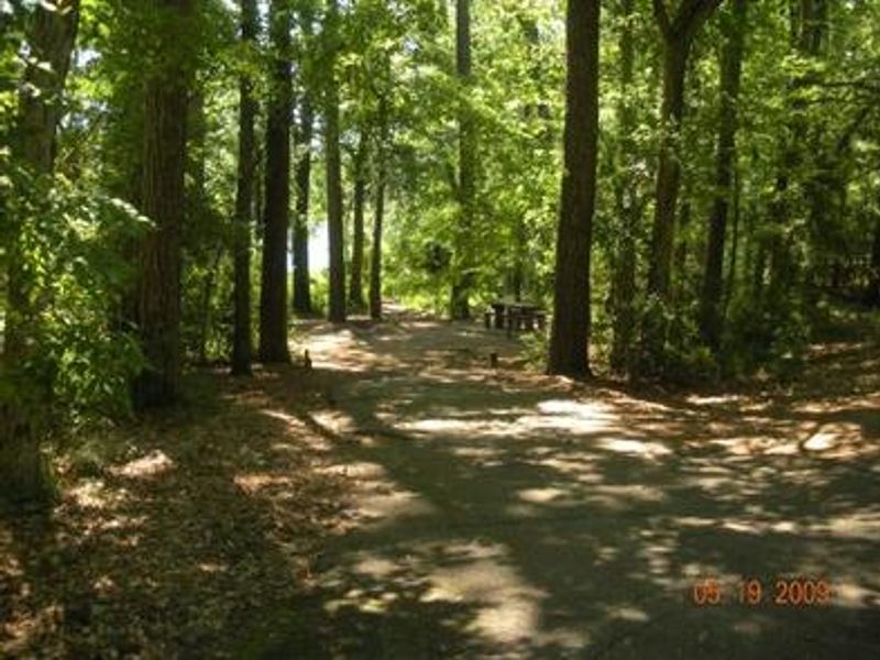
Double Lake Recreation Area sits on a scenic 23-acre lake surrounded by rolling hills forested with hardwood and pine in Sam Houston National Forest. Built in 1937 by the Civilian Conservation Corps, the campground offers a variety of camping options including standard tent sites, electric campsites, and RV sites with water and 50-amp electric hookups accommodating rigs up to 40 feet. The recreation area features a sandy swim beach with bathhouse and concession stand, making it popular for day use and extended stays alike. The lake is stocked with bass, bream, and catfish; only boats with small electric motors are allowed. Paddleboards and kayaks are prohibited in the swimming area. Trail access is excellent. A 5-mile hiking trail leads to Big Creek Scenic Area with connections to the 128-mile Lone Star Hiking Trail. A 21-mile mountain bike trail meanders around the lake. Group facilities include shelters for up to 75 people and a lodge for events. Pets must be leashed (6-foot max) and are not permitted in the swimming area.
Directions
From Hwy 59 in Cleveland, take FM 2025 north 17 miles, turn right at Double Lake. From I-45, exit at New Waverly, take SH 150 east 25 miles, take FM 2025 south half a mile, turn left at Double Lake.
Amenities
| Water | Yes |
| Fires Allowed | — |
| Toilets | Yes |
| Dump Station | — |
| Wifi | — |
| Pets Allowed | Yes |
| Showers | — |
| Electric Hookups | Yes |
| Water Hookups | Yes |
| Sewer Hookups | No |
| Camp Store | Yes |
| Price | $20 - $85 |
Vehicle
| Max RV Length | 45ft |
| Max Trailer Length | 45ft |
| Big Rig Friendly | Yes |
| Pull Through Sites | No |
Contact
| Phone | +1 (936) 344-6205 |
Cell Service
| AT&T | None |
| Verizon | Yes |
| T-Mobile | None |
Availability
Photos
Community Posts
No posts yet. Be the first to share your experience!