Dimond O
The campground is open for the season, operating May through September. Potable water levels are currently low; bring extra water for cooking, cleaning, and drinking. Some sites are first-come, first-served while others are reservable via Recreation.gov.
Winter Storm Warning issued November 19 at 9:56AM PST until November 20 at 4:00AM PST by NWS Sacramento CA
* WHAT...Heavy snow above 4000 feet. Additional snow accumulations of 8 to 12 inches above 4000 feet, with up to 18 inches over highest peaks. A dusting to a few inches are possible as low as 3500 feet. Winds gusting as high as 40 mph. * WHERE...Northern Sierra above 4000 feet, including Highway 50, Interstate 80, State Route 4, State Route 108, Southern Cascades above 4000 feet. * WHEN...Until 4 AM PST Friday. * IMPACTS...Travel could be very difficult to impossible. The hazardous conditions will impact the evening commutes. Gusty winds could bring down tree branches and significant reductions in visibilities. * ADDITIONAL DETAILS...Snow levels around 4000-5500 feet, lowering briefly down to around 3500 feet early Friday morning. Heaviest snow is expected through the afternoon hours, with snowfall rates 1-2+ inches per hour.
From Recreation.gov
**Limited Water Available**: Please be aware that we are seeing a low levels of potable water in the campground. We do apologize for the inconvenience but there is a possibility you may not have water at the time of your reservation. Please use the water for your necessities and Bring Extra Water Incase of outage. Bring water for things Like Cooking, Cleaning, drinking, etc. Thank you so much for your patience.
Fireworks and Explosives are always Prohibited
Fireworks and explosives (including explosive targets) are always prohibited on national forest lands. The prohibition of fireworks and exploding targets on national forest system lands is part of a set of permanent fire safety regulations in the Code of Federal Regulations (CFR), listed below.…
About
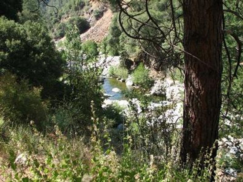
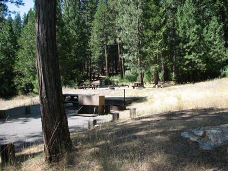
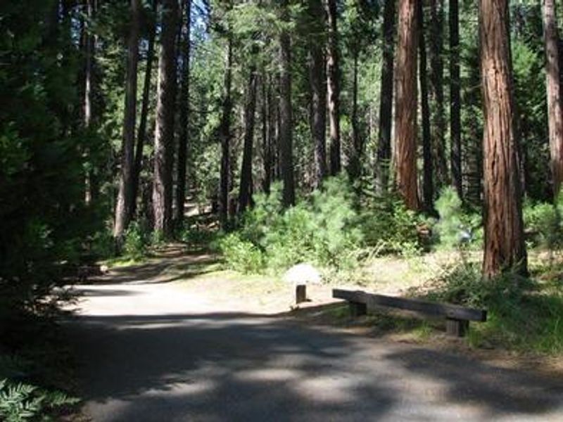
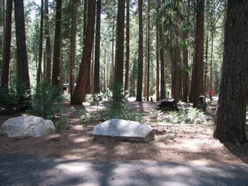
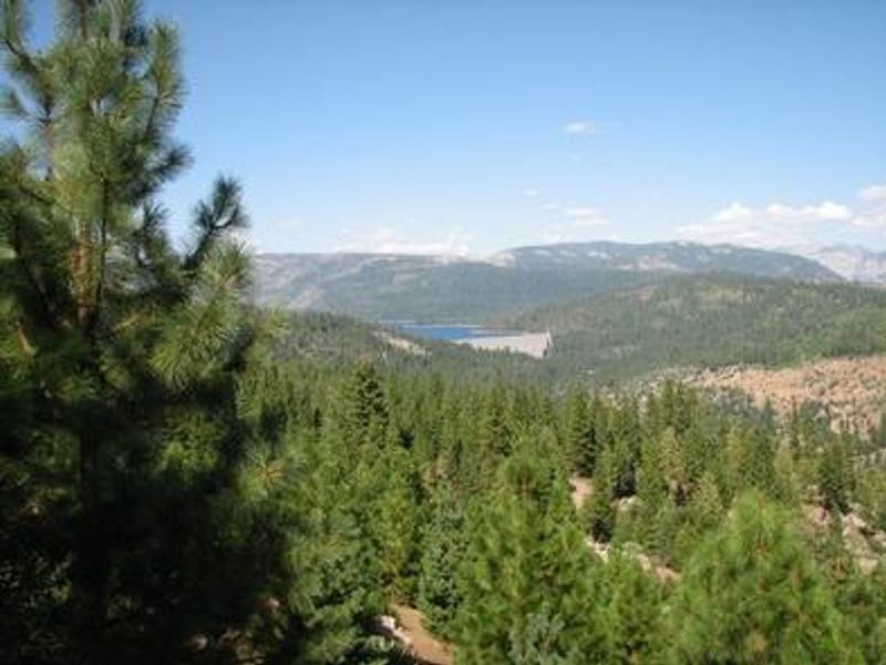
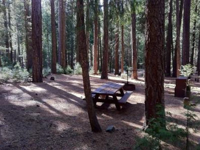
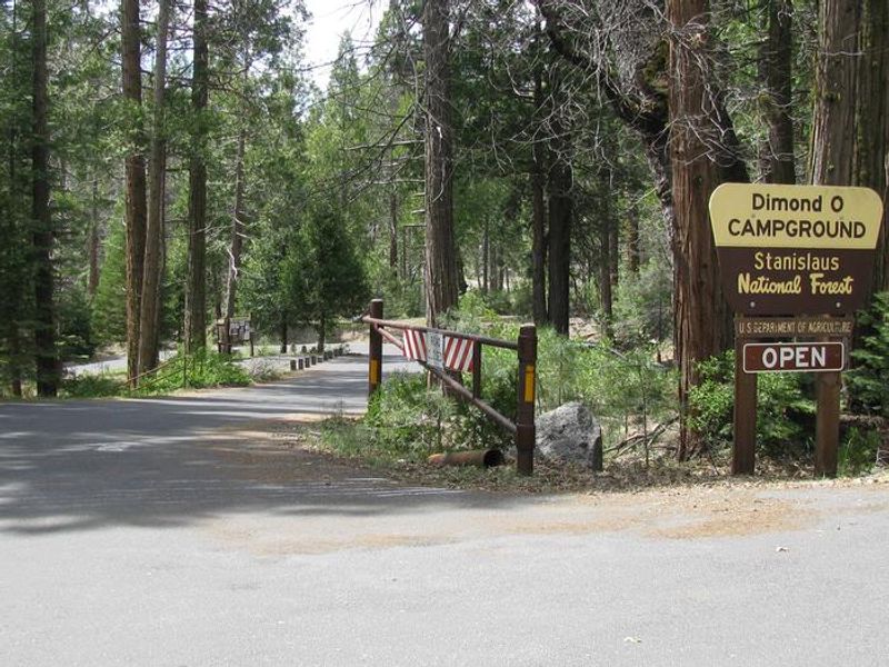
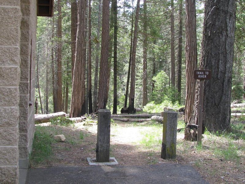
Dimond O Campground occupies a scenic mixed conifer forest along the Middle Fork Tuolumne River in Stanislaus National Forest. Its location makes it the closest campground to Yosemite National Park's Big Oak Flat entrance and Hetch Hetchy Reservoir, providing convenient access to the park's northwest features without the crowds of valley-side camping. The Middle Fork Tuolumne River runs directly through the area, offering warm-weather swimming, wading, and fly fishing for rainbow trout. Ponderosa pine and cedar trees provide shade throughout the campground. Several sites sit along the riverfront. Nearby recreation includes the Carlon Falls Trail at Carlon Day Use Area and the extensive trail network accessible from Hetch Hetchy. The campground serves as a solid basecamp for exploring both Stanislaus National Forest and the northern reaches of Yosemite.
Directions
From the Groveland Ranger District Office, head east 15 miles on Highway 120, then turn left on Evergreen Road and travel 4 miles. The campground is on the left.
Amenities
| Water | Yes |
| Fires Allowed | Yes |
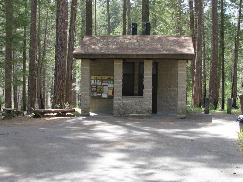
| Toilets | Yes |
| Dump Station | — |
| Wifi | No |
| Pets Allowed | Yes |
| Showers | No |
| Electric Hookups | — |
| Water Hookups | — |
| Sewer Hookups | — |
| Camp Store | No |
| Price | $38 - $76 |
Vehicle
| Max RV Length | 48ft |
| Max Trailer Length | 48ft |
| Big Rig Friendly | Yes |
| Pull Through Sites | No |
Contact
| Help.Stanislaus.Groveland@AmericanLL.com | |
| Phone | +1 (209) 379-2258 |
Cell Service
| AT&T | None |
| Verizon | None |
| T-Mobile | None |
Availability
Photos
Community Posts
No posts yet. Be the first to share your experience!