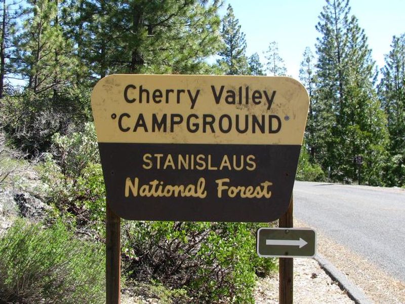
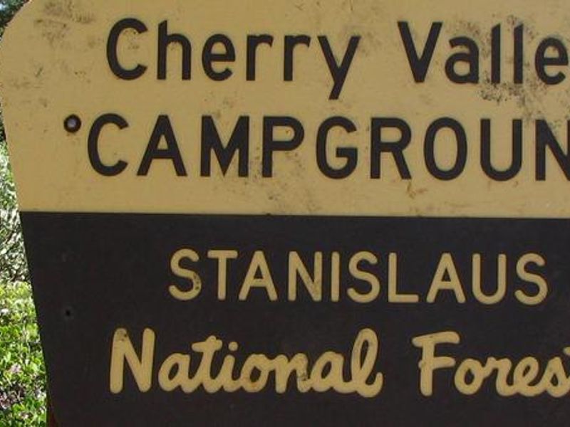
Cherry Valley
Open for the season. Due to road construction, the highway from Black Oak to Cherry Valley is closed; the only access is via Highway 120 from Groveland to Cherry Lake Road, which is narrow and winding with sharp turns. Long trailers and RVs are not advised on this route; use the Tuolumne route via Cottonwood Road instead. No potable water on site; bring your own supply.
From Recreation.gov
Due to road construction, the highway from Black Oak to Cherry Valley Campground is currently closed and will remain closed until repairs are completed. Highway 120 from Groveland to Cherry Lake Road is the only access to Cherry Valley Campground. This is a narrow and winding road with several sharp turns; long trailers or RVs are not advised. Travel at your own risk.
National Forest System Roads
Follow California Vehicle Code on National Forest System Roads
Fireworks and Explosives are always Prohibited
Fireworks and explosives (including explosive targets) are always prohibited on national forest lands. The prohibition of fireworks and exploding targets on national forest system lands is part of a set of permanent fire safety regulations in the Code of Federal Regulations (CFR), listed below.…
About
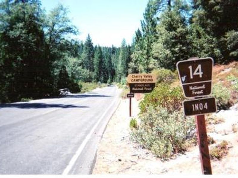
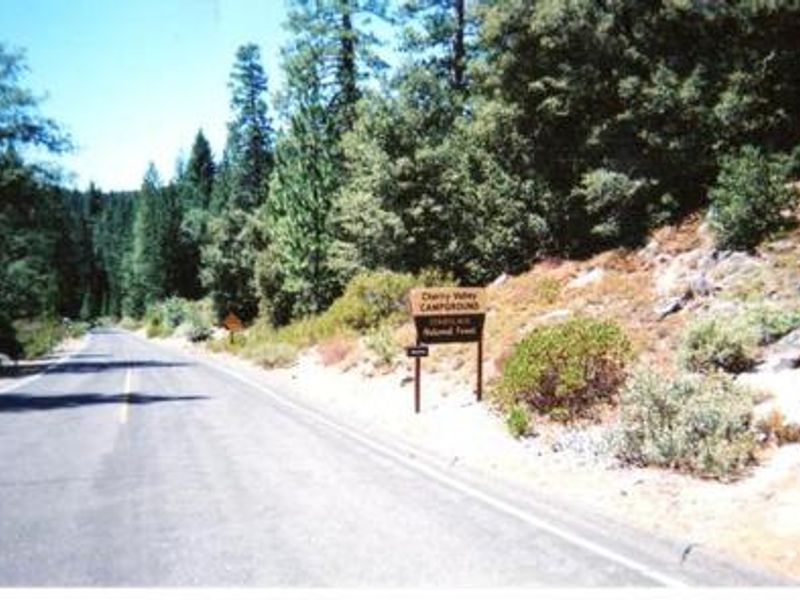
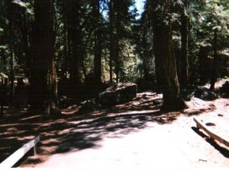
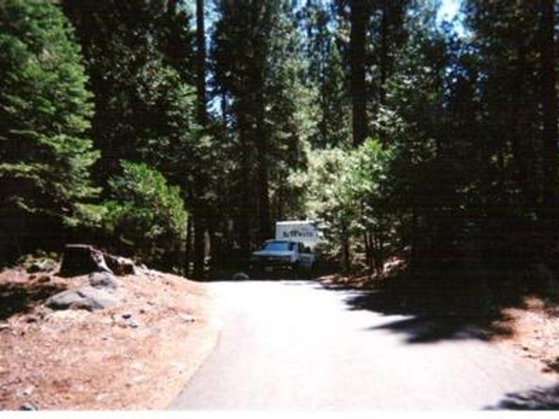
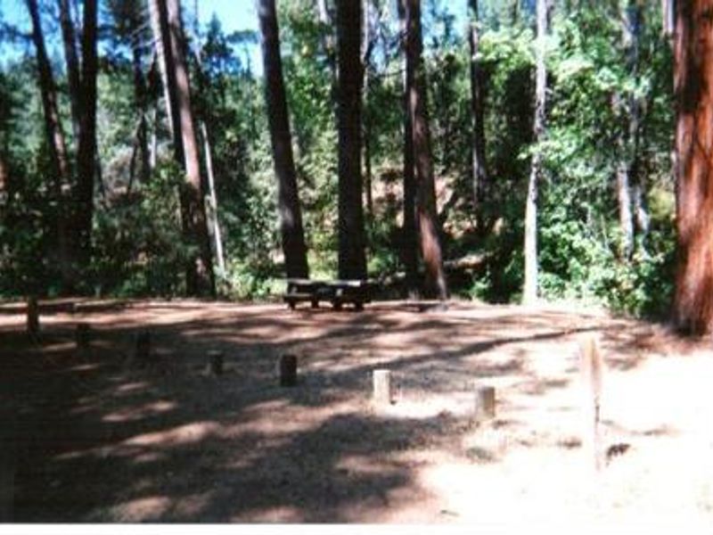
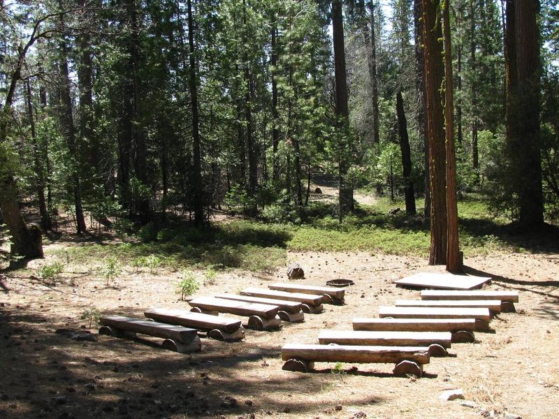
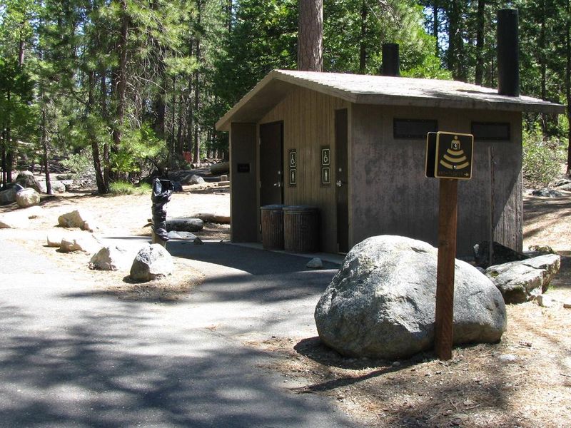
Cherry Valley Campground is situated in the central Sierra Nevada within Stanislaus National Forest, approximately one hour east of Tuolumne City and one hour northeast of Groveland. The campground occupies a forested setting of mixed conifers about 1.5 miles from Cherry Valley Dam, with lake access available via a hiking trail. Cherry Lake is the largest in the forest and draws anglers seeking eastern brook trout, German brown trout, kokanee salmon, and rainbow trout. The campground has 41 single sites and 5 double sites with paved roads and spurs. Each site is equipped with a picnic table, bear-proof food storage box, and campfire pit with grill. Vault toilets are available throughout. No potable water is provided, so campers must bring their own supply. There are no hookups, showers, or dump stations. Access requires careful route selection. Cherry Lake Road from Highway 120 is narrow, steep, and winding with sharp turns, making it unsuitable for RVs over 24 feet or trailers. Visitors with larger vehicles should use the Tuolumne route via Buchanan Road/Cottonwood Road instead.
Directions
From Groveland: Travel east on Highway 120 for 13.8 miles, turn left on Cherry Lake Road (FR 1N07), continue 23.5 miles to Cottonwood Road (FR 1N04), turn left and travel 0.5 miles north to the Cherry Valley Campground sign, then turn right 0.75 miles to the campground. From Tuolumne: Take Buchanan Road which becomes Cottonwood Road (FR 1N04), travel approximately 30 miles to the Cherry Valley Campground sign, turn left. The Tuolumne route is recommended for RVs and those towing.
Amenities
| Water | No |
| Fires Allowed | Yes |
| Toilets | Yes |
| Dump Station | No |
| Wifi | No |
| Pets Allowed | Yes |
| Showers | No |
| Electric Hookups | — |
| Water Hookups | — |
| Sewer Hookups | — |
| Camp Store | No |
| Price | $33 - $66 |
Vehicle
| Max RV Length | 25ft |
| Max Trailer Length | 70ft |
| Big Rig Friendly | No |
| Pull Through Sites | No |
Contact
| Help.Stanislaus.Groveland@AmericanLL.com | |
| Phone | +1 (209) 379-2258 |
Cell Service
| AT&T | None |
| Verizon | None |
| T-Mobile | None |
Availability
Photos
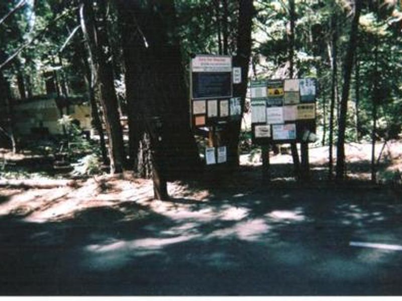
Community Posts
No posts yet. Be the first to share your experience!