Clay Creek Recreation Site
Overnight camping is closed until further notice. Day-use recreation areas remain open. When operational, the campground typically runs from Memorial Day through Labor Day.
Freeze Watch issued October 30 at 4:42AM PDT until October 31 at 9:00AM PDT by NWS Portland OR
* WHAT...Sub-freezing temperatures of 32 degrees or lower are possible. * WHERE...In Oregon, Clackamas County Cascade Foothills, East Central Willamette Valley, Tualatin Valley, West Central Willamette Valley, and Central Oregon Coast Range Lowlands. In Washington, North Clark County Lowlands. * WHEN...From late tonight through Saturday morning. * IMPACTS...Frost and freeze conditions could kill crops, other sensitive vegetation and possibly damage unprotected outdoor plumbing. * ADDITIONAL DETAILS...Frost and freeze headlines are only issued through the growing season of April 1 through October 31. Therefore, frost or freeze headlines will not be issued beginning November 1, even though similar low temperatures are possible. Additionally, frost and freeze headlines will no longer be issued this growing season for the Upper Hood River Valley, southern Willamette Valley, south Washington Cascade Foothills, and north Oregon Coast Range as these locations have already experienced a hard freeze earlier in October.
From Recreation.gov
Overnight camping is closed until further notice. Day-use recreation areas remain open for public use.
About
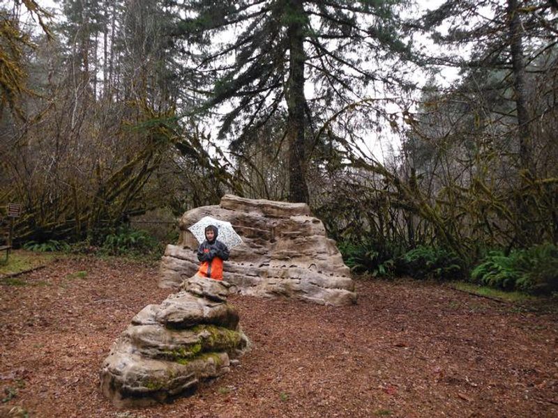
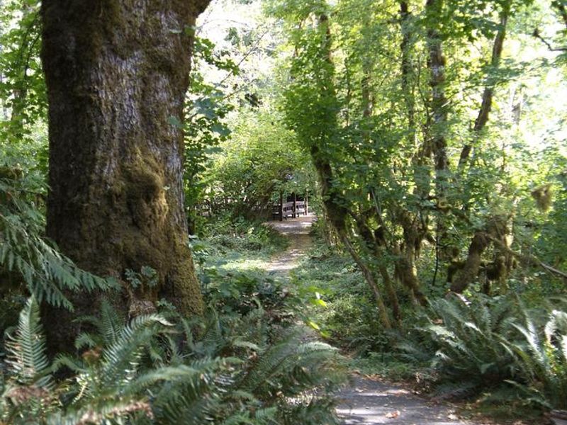
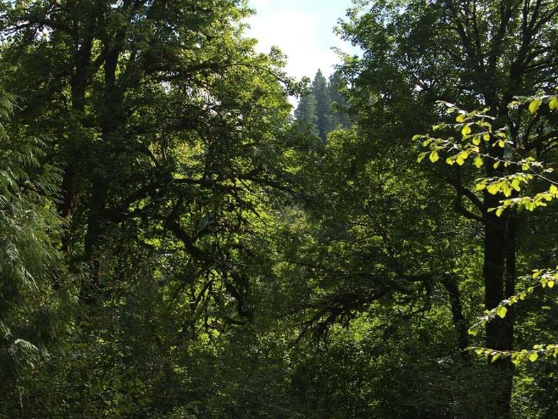
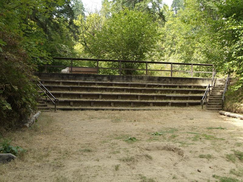
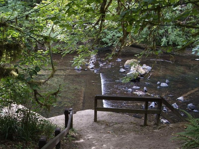
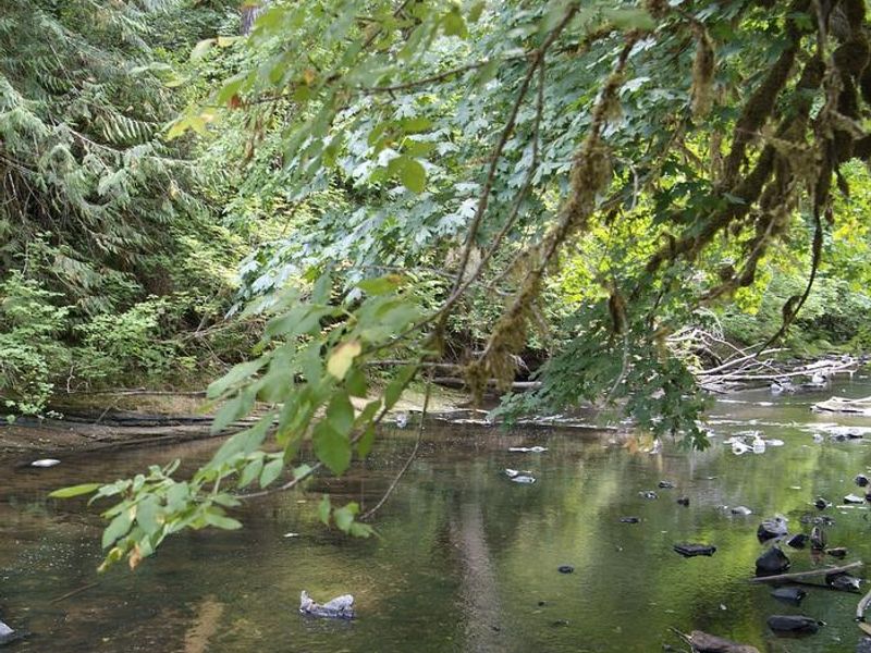
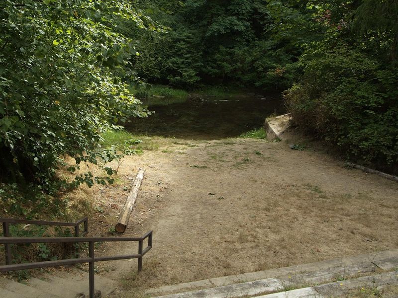
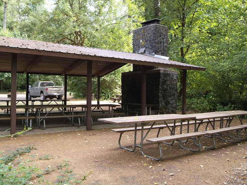
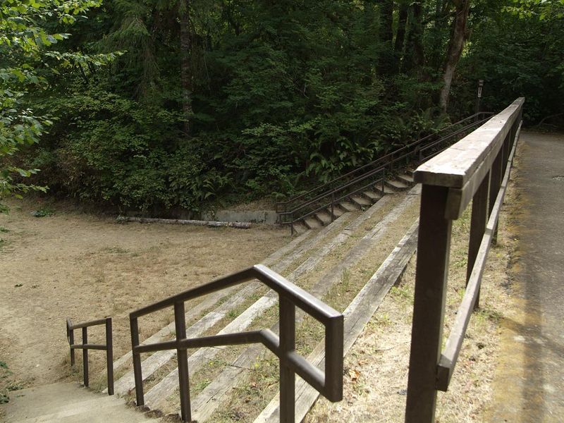
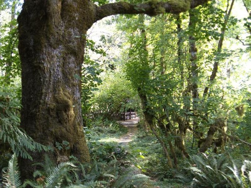
Clay Creek Recreation Site occupies a scenic setting at the confluence of Clay Creek and the Siuslaw River in the Oregon Coast Range. Managed by the BLM Springfield Office, this quiet campground sits at 436-492 feet elevation amid large canopy trees including Douglas fir, western hemlock, red cedar, and big leaf maple. The forest understory features rhododendron, salal, ferns, and salmonberry, with wildlife ranging from pileated woodpeckers to elk and black bear. The campground offers 21 individual campsites with paved parking pads accommodating vehicles up to 30-32 feet. Most sites include fire rings, barbecue grills, picnic tables, and tent pads. Facilities include vault toilets, potable water, a children's play area, horseshoe pits, volleyball area, and ball field. The summer swimming area includes nearby dressing rooms, and large group shelters are available by reservation for events. The Clay Creek Trail provides hiking access to old-growth Douglas fir stands on the ridge above camp. The Siuslaw River offers fishing per Oregon regulations and serves as a salmon watch site where spawning Coho and Chinook can be observed in fall and winter. Downstream put-ins allow paddling a 6.5-mile stretch with Class II-III rapids.
Directions
From Eugene: Take Interstate 5 to Beltline Road, go west to West 11th Avenue, turn right onto Highway OR-126. Follow Highway 126 about 29 miles to Siuslaw River Road just west of Walton. Turn left on Siuslaw River Road, follow about 10 miles to BLM Road 19-7-20.1 intersection, keep left for about 6 more miles. Main entrance is on the right. From Florence: Take Highway OR-126 east about 14 miles to Mapleton, continue on Highway 126 for about 12 miles to Siuslaw River Road, turn right and follow about 16 miles to BLM Road 19-7-20.1 intersection, keep left for about 6 miles to the main entrance.
Location
Amenities
| Water | Yes |
| Fires Allowed | Yes |
| Toilets | Yes |
| Dump Station | No |
| Wifi | No |
| Pets Allowed | Yes |
| Showers | No |
| Electric Hookups | — |
| Water Hookups | — |
| Sewer Hookups | — |
| Camp Store | No |
| Price | $10 - $15 |
Vehicle
| Max RV Length | 32ft |
| Max Trailer Length | 32ft |
| Big Rig Friendly | No |
| Pull Through Sites | No |
Contact
| BLM_OR_NO_Mail@blm.gov | |
| Phone | +1 (541) 683-6600 |
Cell Service
| AT&T | None |
| Verizon | None |
| T-Mobile | None |
Photos



Community Posts
No posts yet. Be the first to share your experience!